The Way Out
Total Miles
2.2
Technical Rating
Best Time
Spring, Summer, Fall, Winter
Trail Type
Full-Width Road
Accessible By
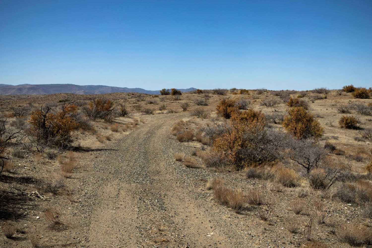
Trail Overview
The Way Out is a scenic ridgeline connector trail with curvy gravel terrain and an easygoing drive. With no obstacles along the route, it provides a smooth transition between trails. Cell service is available in some areas with around two bars, but it's still a good idea to have offline maps downloaded when exploring the area.
Photos of The Way Out

Difficulty
This is an unmaintained but mellow ridgeline trail. The trail has no obstacles on it, is mostly gravel, and has plenty of room to pass and/or turn around.
Status Reports
The Way Out can be accessed by the following ride types:
- High-Clearance 4x4
- SUV
- SxS (60")
- ATV (50")
- Dirt Bike
The Way Out Map
Popular Trails

Courthouse Rock

North Powerline
The onX Offroad Difference
onX Offroad combines trail photos, descriptions, difficulty ratings, width restrictions, seasonality, and more in a user-friendly interface. Available on all devices, with offline access and full compatibility with CarPlay and Android Auto. Discover what you’re missing today!