2 trails found in Arizona
Which "sycamore creek" are you looking for?
We found 2 off-road trails in Arizona matching your search. Pick the one you're looking for below.
Learn more about Four Peaks to Upper Sycamore Creek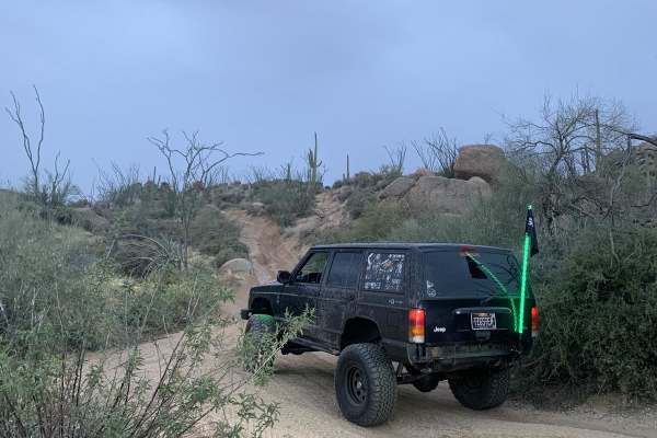
Four Peaks to Upper Sycamore Creek
From the four peaks side, this is an easy trail for most 4x4 vehicles. Once you go under the Bush Highway bridge, you will end up on the Sycamore Creek side. It is difficult from there on out, with off-camber roads for most of the trail. Grades are near vertical and you can expect the trail to get e...
Learn more about Four Peaks to Upper Sycamore Creek
Total Miles
11.2
Tech Rating
Difficult
Best Time
Spring, Summer, Fall, Winter
Learn more about Sycamore Creek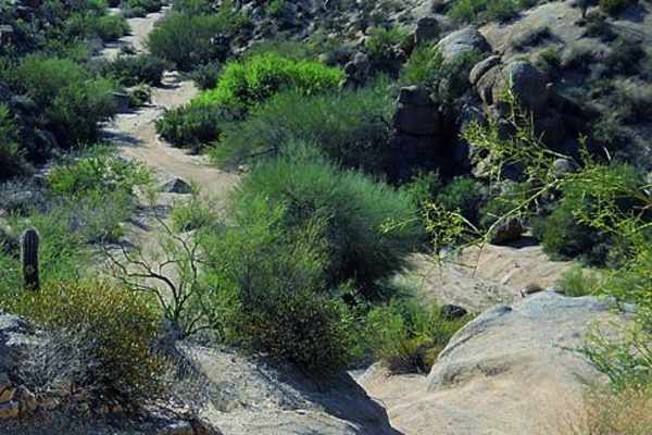
Sycamore Creek
The OHV trails here are extensive. You could spend days exploring this area. If you want a fun, challenging obstacle, try the canyon east of Squeeze Rock. ATVS, UTVs and dirt bikes will especially like this network of trails.
Learn more about Sycamore Creek
Total Miles
11.9
Tech Rating
Moderate
Best Time
Fall, Winter, Spring