Senator Highway, Crown King Road
Total Miles
29.8
Technical Rating
Best Time
Summer
Trail Type
Full-Width Road
Accessible By
Trail Overview
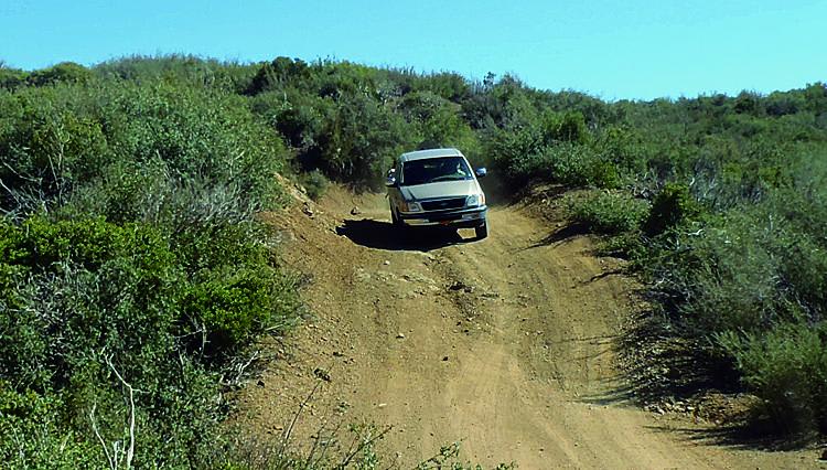
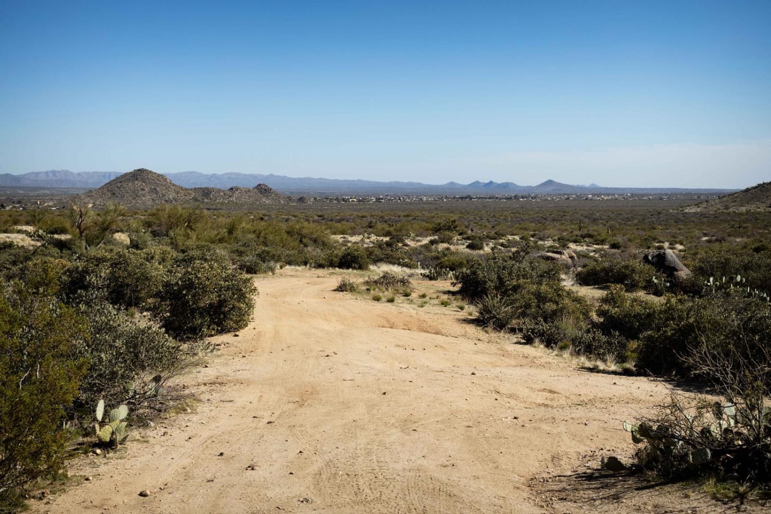
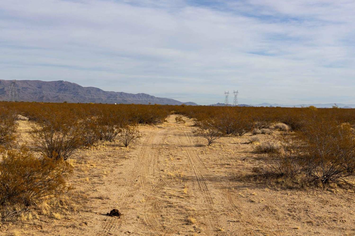
This is a long and windy road that leads to Crown King. Due to its length, and the many things to see and do along the way, you'll want to allow plenty of time to complete it. There are many hiking trails to take from this route if you want to stretch your legs. You'll pass Cleator and Bumble Bee ghost towns-take the time to hop out and look around. Unlicensed vehicles are not allowed on some portions.
Photos of Senator Highway, Crown King Road
Difficulty
Easy: A few ruts and minor muddy sections, but 4-wheel-drive is rarely needed when road is dry. Crown King Road is wide and graded.
History
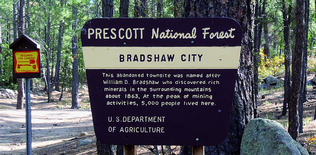
Bradshaw City, a picnic stop along the route, was named after William Bradshaw, the first to discover gold in the area in 1863. The town grew to about 5,000 people in the next 20 years. The post office finally closed in 1884. Nothing is left at the townsite, but Bradshaw City's original saloon was moved to Crown King and is still in use today.
Status Reports
Senator Highway, Crown King Road can be accessed by the following ride types:
- High-Clearance 4x4
- SUV
- SxS (60")
- ATV (50")
- Dirt Bike
Senator Highway, Crown King Road Map
Popular Trails
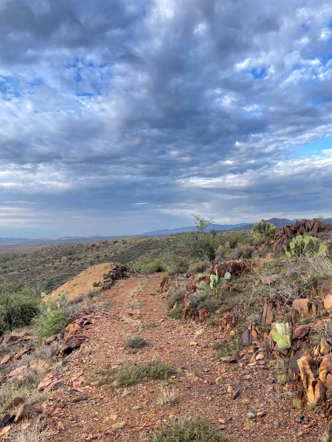
Tri-Metals Mine
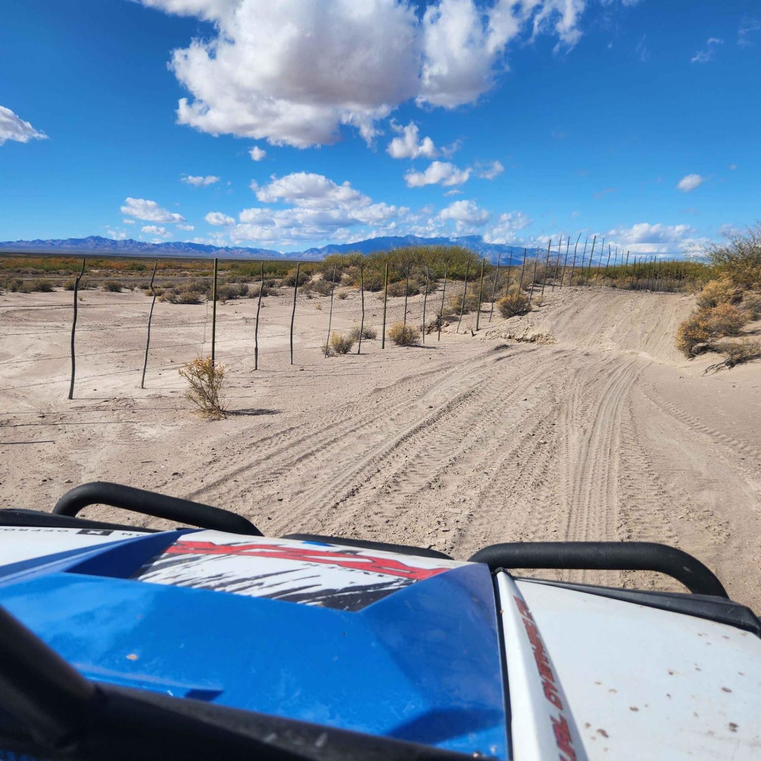
Hot Wells OHV Area Perimeter
The onX Offroad Difference
onX Offroad combines trail photos, descriptions, difficulty ratings, width restrictions, seasonality, and more in a user-friendly interface. Available on all devices, with offline access and full compatibility with CarPlay and Android Auto. Discover what you’re missing today!
