Hs68l
Total Miles
2.1
Technical Rating
Best Time
Winter, Spring, Fall
Trail Type
50" Trail
Accessible By
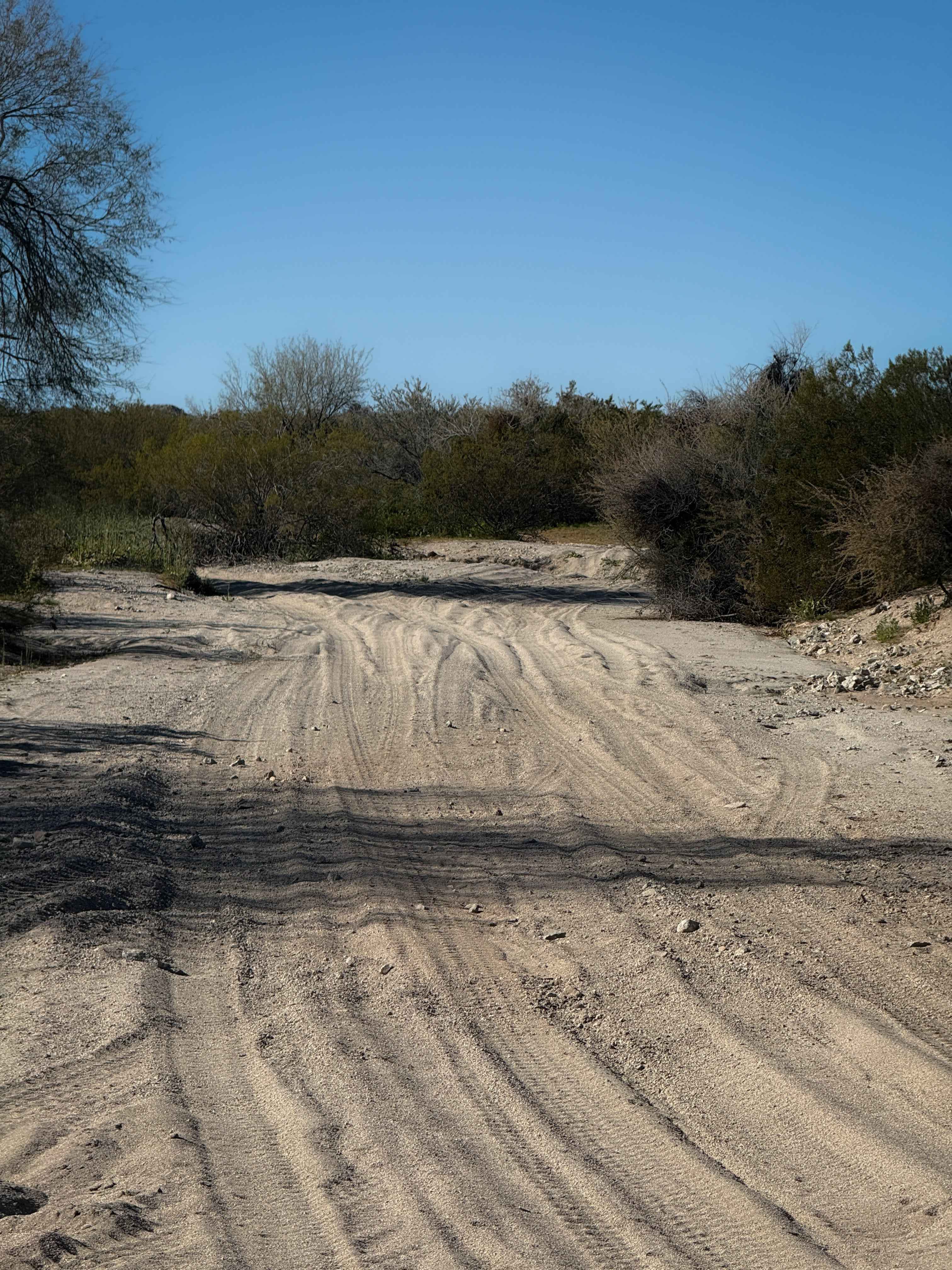
Trail Overview
This is a fun wash trail for just over 2 miles in the BLM land near Salome, Arizona. The east end starts in a wide sand wash lined with tall trees and bushes, with deep white sand and lots of tracks to follow. There are lots of unmarked splits in the wash, so a GPS map is helpful to navigate this route. The sand wash narrows up and makes some tighter turns in the sand. The wash starts to become lined with a couple of unique rock features, with more embedded rock in the wash, creating small obstacles and ledges less than a foot tall. There are lots of giant saguaros to the sides of the wash that are scenic. On the west end, it ends when the wash peters out with a couple of boulders that would be tricky to pass in an ATV, and a side road climbs out of the wash at this point.
Photos of Hs68l

Difficulty
This is an easy wash trail that is mostly sand, but has a couple of embedded rocks to watch out for. It is ideal for newer riders looking to improve their skills in the sand.
Status Reports
Hs68l can be accessed by the following ride types:
- ATV (50")
- Dirt Bike
Hs68l Map
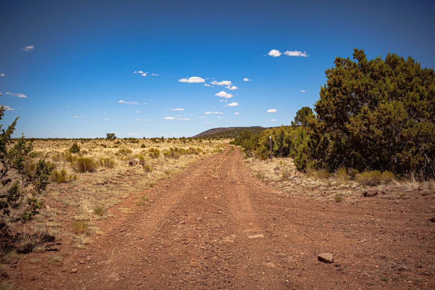
Popular Trails

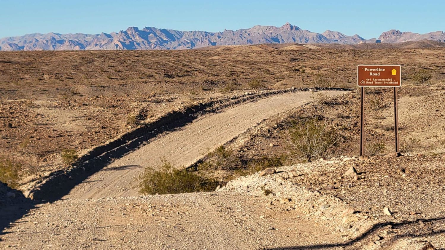
Powerline Road (South) - 2

FR4740 Williamson Tank
The onX Offroad Difference
onX Offroad combines trail photos, descriptions, difficulty ratings, width restrictions, seasonality, and more in a user-friendly interface. Available on all devices, with offline access and full compatibility with CarPlay and Android Auto. Discover what you’re missing today!