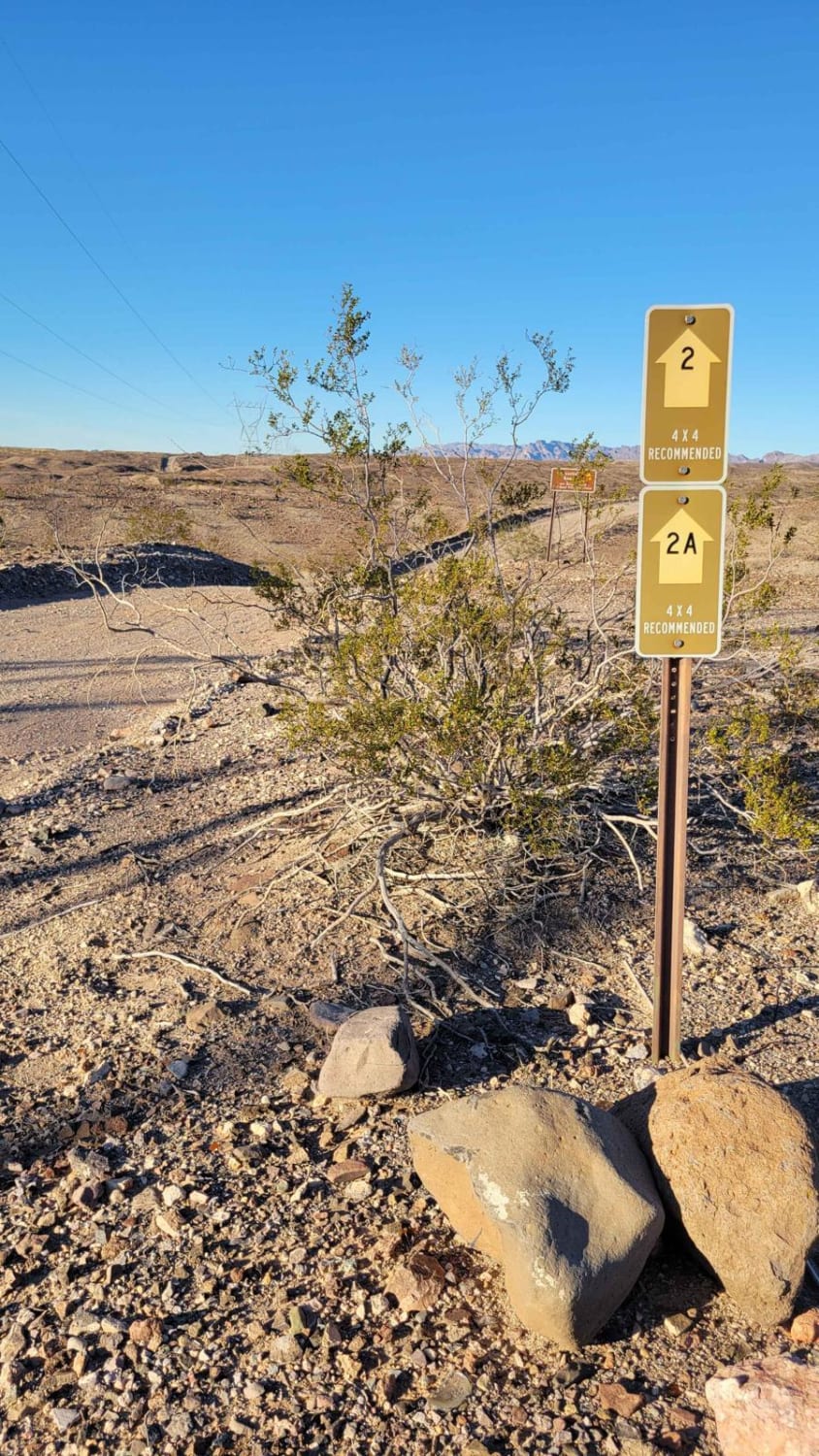
Powerline Road (South) - 2
Total Miles
2.7
Technical Rating
Best Time
Spring, Summer, Fall, Winter
Trail Type
Full-Width Road
Accessible By
Trail Overview
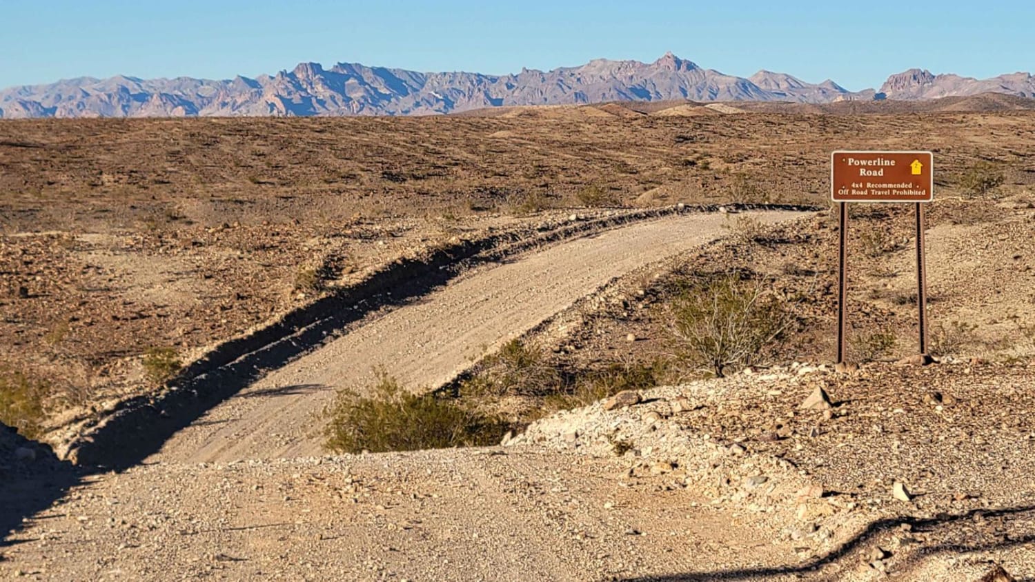
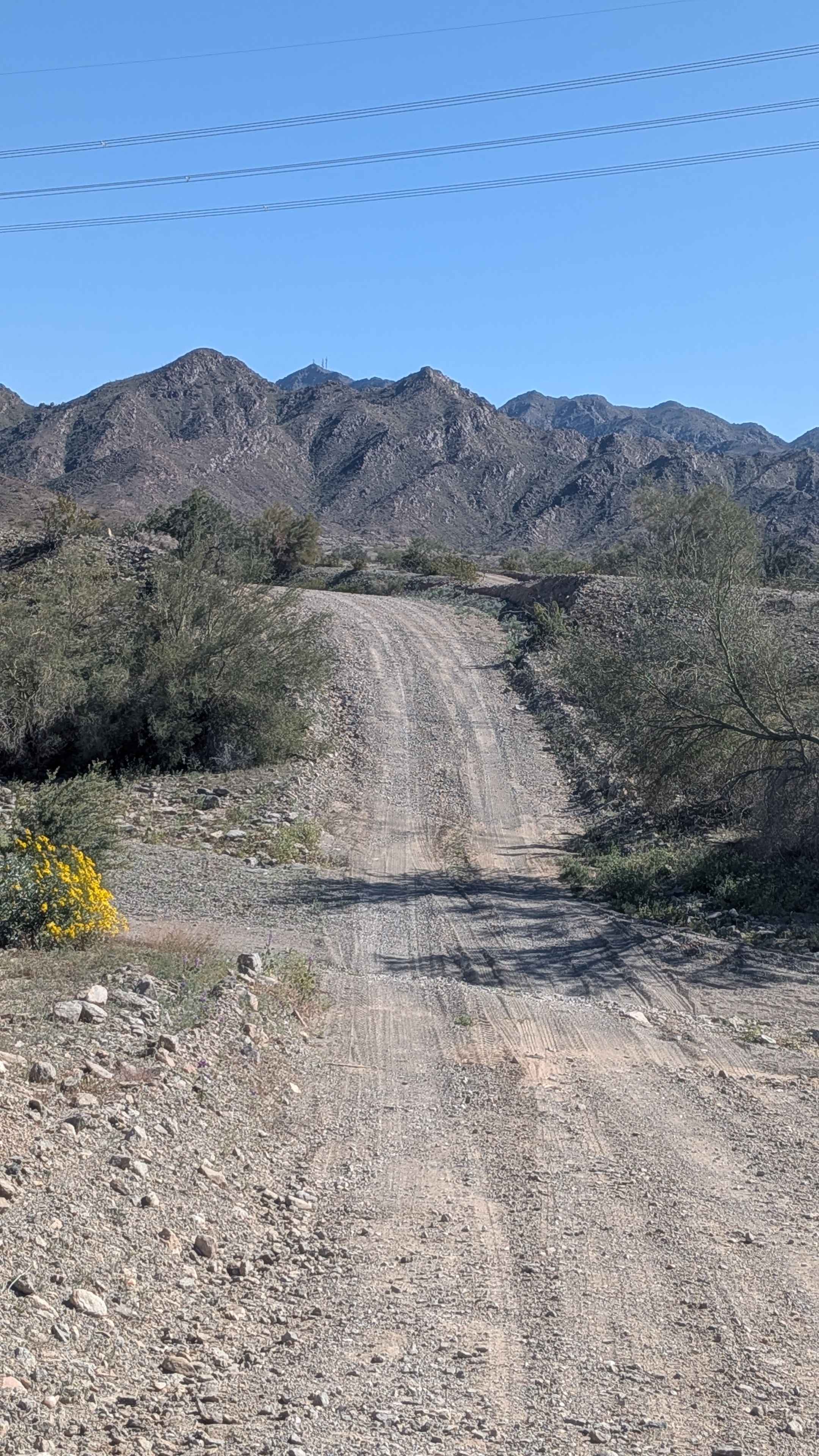
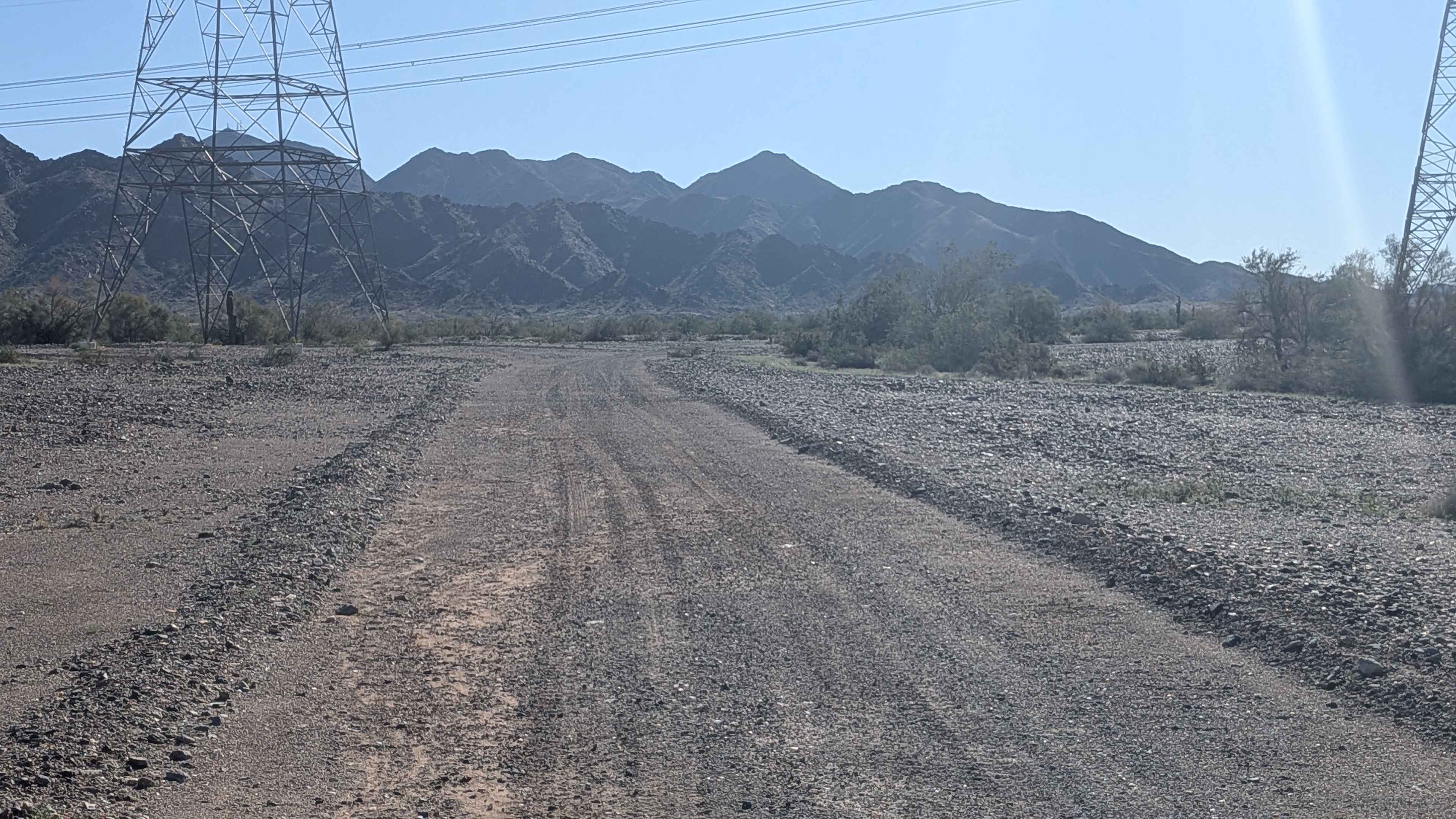
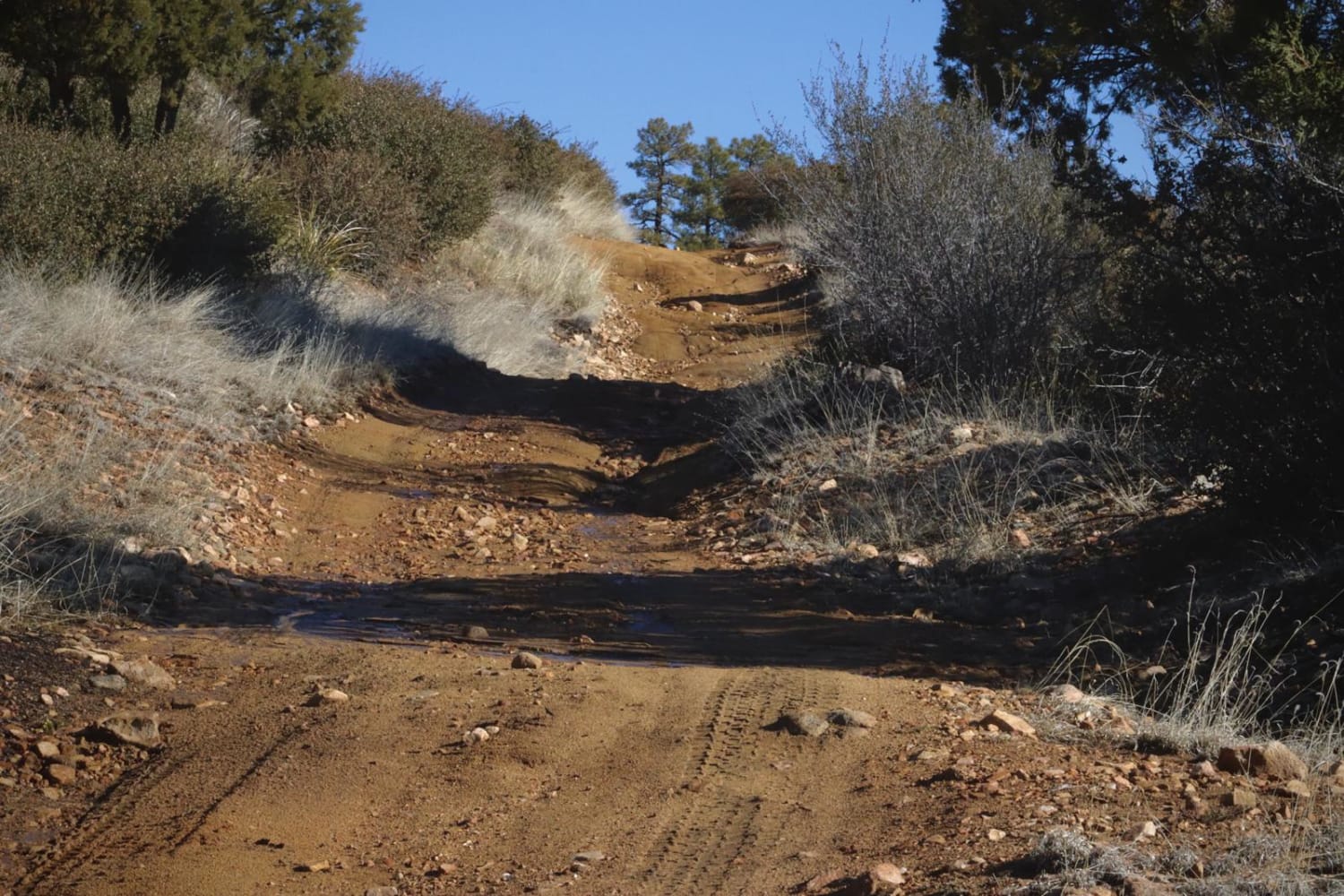
Powerline Road (South), Route 2, is a point-to-point dirt trail that begins and ends off of Princess Cove Road. The trail follows the powerline towers and offers beautiful views of the surrounding desert and the Colorado River to the west. For the most part, it is a mild and easy-going dirt trail. However, there are a handful of steep, short hills with rocky sections and erosion damage. The sign mentions "4x4 Recommended", which is likely as a "just in case", but isn't required to complete the route. The trail can be driven in a high-clearance 4x4 in 2WD. Cell coverage is intermittent.
Photos of Powerline Road (South) - 2
Difficulty
For the most part, it is a mild and easy-going dirt trail. However, there are a handful of steep, short hills with rocky sections and erosion damage. The sign mentions "4x4 Recommended", which is likely as a "just in case", but isn't required to complete the route.
Status Reports
Powerline Road (South) - 2 can be accessed by the following ride types:
- High-Clearance 4x4
- SUV
- SxS (60")
- ATV (50")
- Dirt Bike
Powerline Road (South) - 2 Map
Popular Trails
Tom Wells Road - EC1268

Fossil Creek Road
FDR 64/Marapai Road
The onX Offroad Difference
onX Offroad combines trail photos, descriptions, difficulty ratings, width restrictions, seasonality, and more in a user-friendly interface. Available on all devices, with offline access and full compatibility with CarPlay and Android Auto. Discover what you’re missing today!