Hs67l
Total Miles
1.1
Technical Rating
Best Time
Spring, Fall, Winter
Trail Type
50" Trail
Accessible By
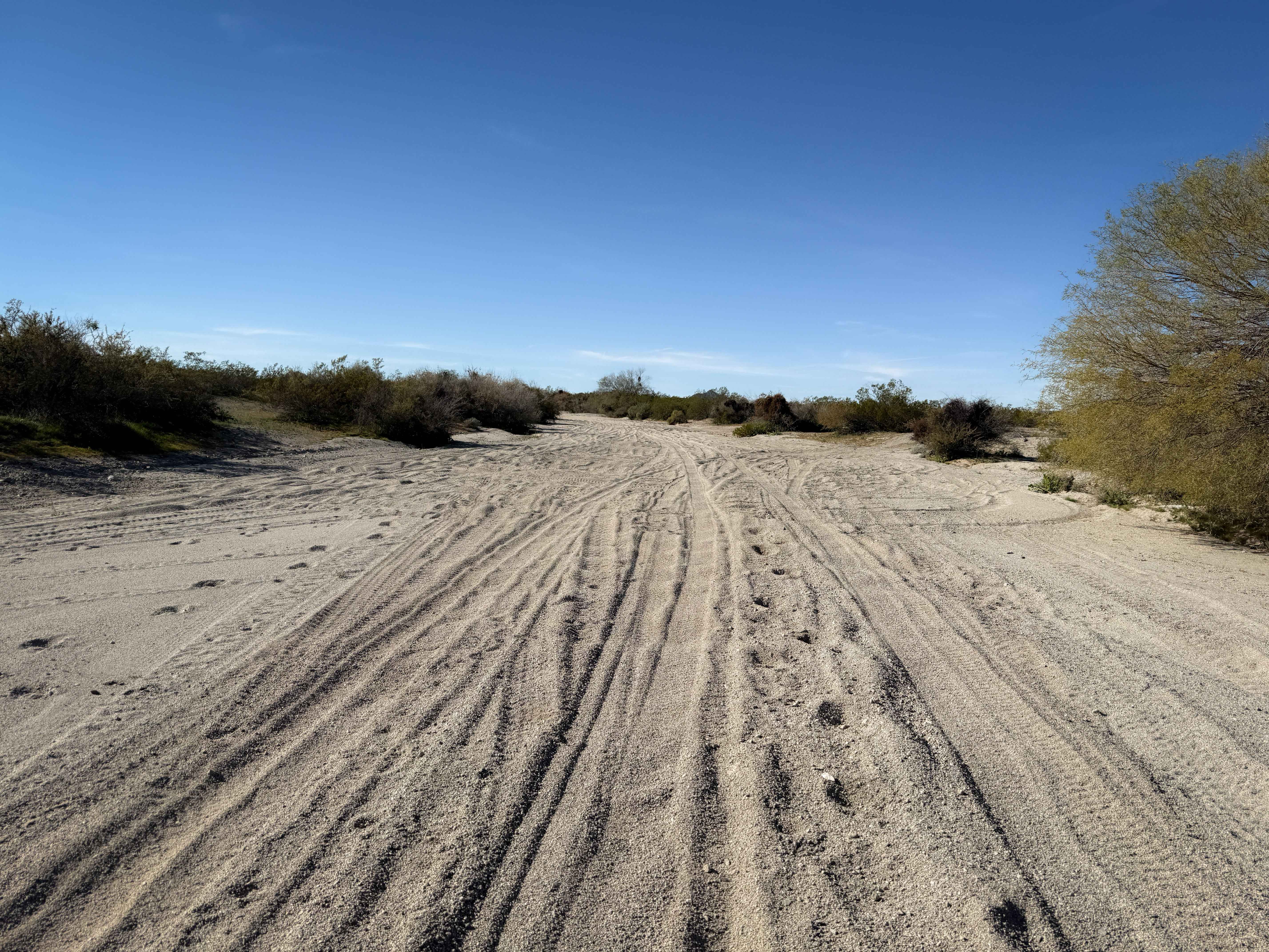
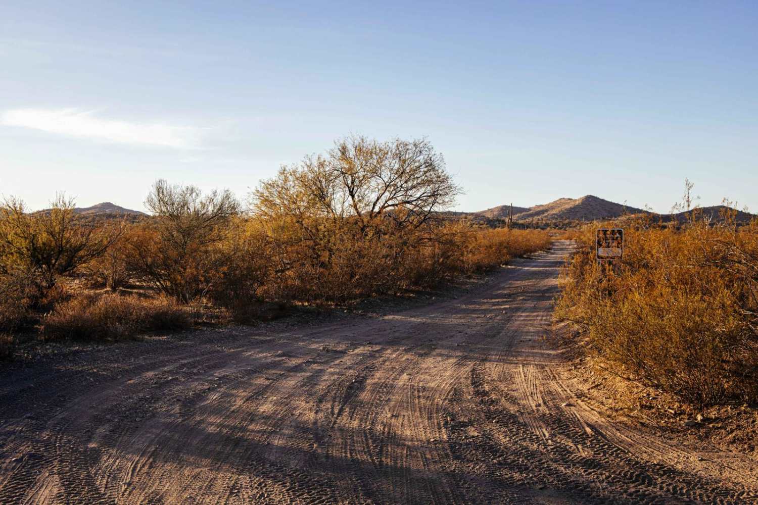
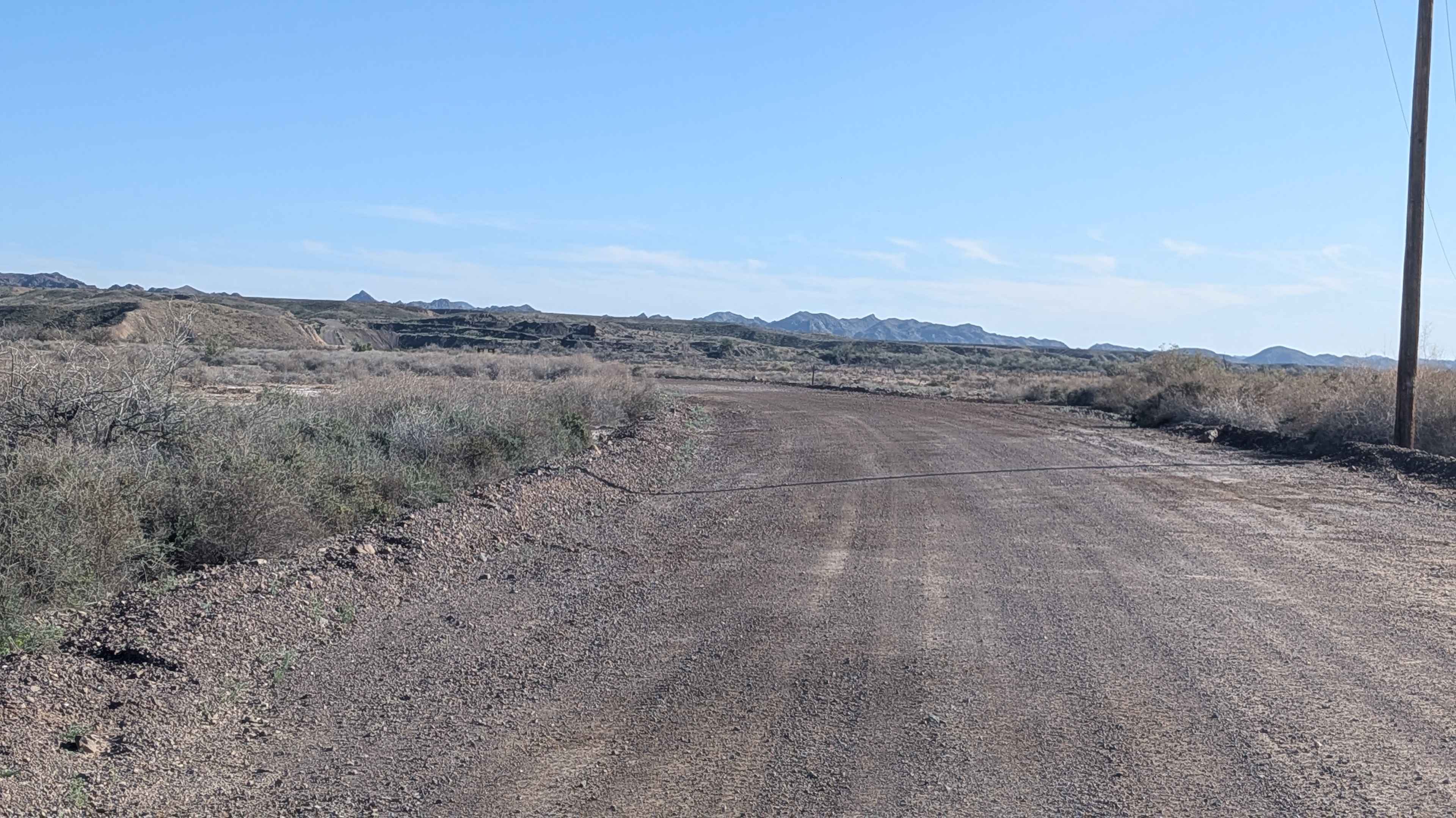
Trail Overview
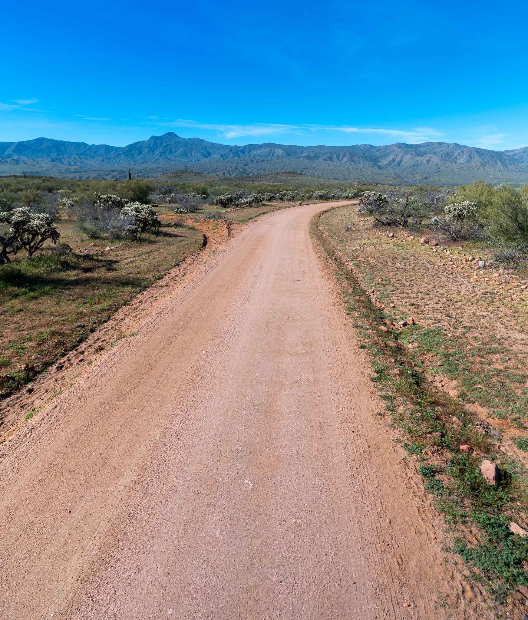
This is 1.2 miles of wide sand wash. It starts near the entrance to the BLM land off of Hovatter Road, and continues in the wide wash mostly going south. The sand can be deep in spots, with lots of whoops. It takes a split into a different wash that is very similar. All intersections out here are unmarked, so you'll need a GPS map to get around. There are several split lines in the washes where you can easily take a wrong turn into a segment of wash that peters out. One of the spurs on the south end of this trail leads to a bigger rock obstacle that is completely optional. The south end of the trail climbs out of the wash onto a road section of trail.
Photos of Hs67l

Difficulty
This trail is overall very easy as it is in a sand wash for the majority of the time. It will require good navigation and comfort with deep sand.
Status Reports
Hs67l can be accessed by the following ride types:
- ATV (50")
- Dirt Bike
Hs67l Map
Popular Trails
Little Horn Peak Road
Cibola Lake Road - EC1080
Camp Verde Trail #545 (South)
Gratham Ranch Road
The onX Offroad Difference
onX Offroad combines trail photos, descriptions, difficulty ratings, width restrictions, seasonality, and more in a user-friendly interface. Available on all devices, with offline access and full compatibility with CarPlay and Android Auto. Discover what you’re missing today!