FS 9236M
Total Miles
2.7
Technical Rating
Best Time
Spring, Summer, Fall
Trail Type
Full-Width Road
Accessible By
Trail Overview
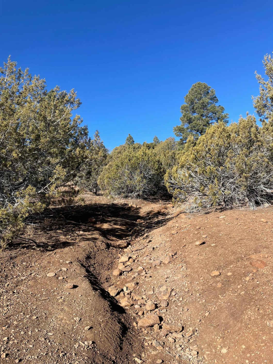
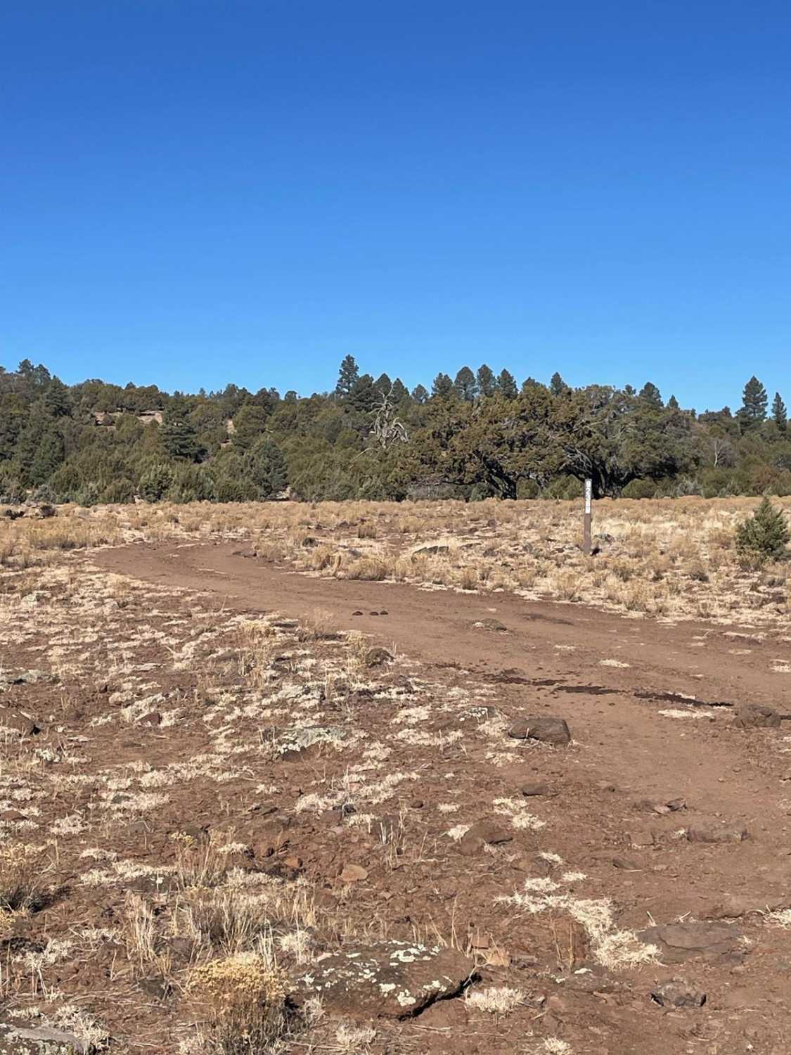
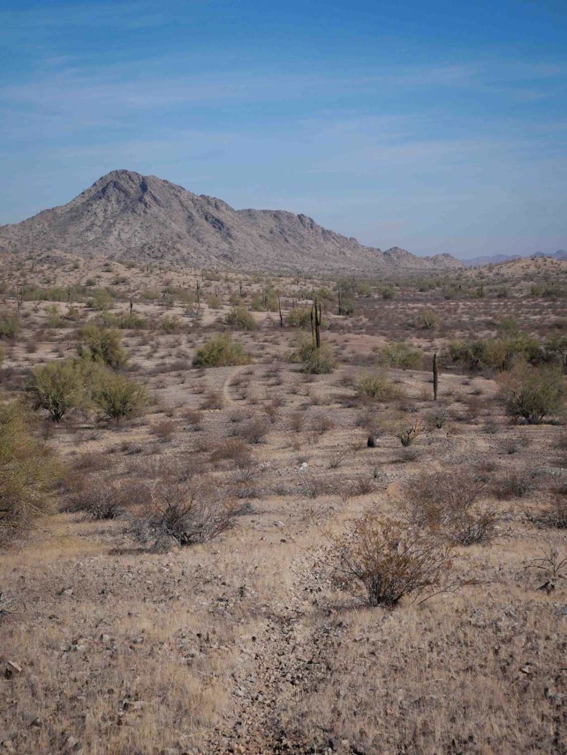
Forest Service Road 9236M runs just shy of 3 miles long. The southern portion of this trail contains the majority of the bigger obstacles that you must navigate over. These obstacles are concentrated in between Buckhorn Slope Tank and the southern end of this trail. These obstacles consist of a few rock outcroppings and a few deep erosion ruts. If you prefer to climb obstacles, run this trail from South to North. If you prefer to descend obstacles, run this trail from North to South. Some of these ruts are very deep and uneven so be cautious as you traverse through them. As you approach the rock outcropping obstacles, the trail forks and leaves you with a choice on what route you want to take. If you are facing North, the larger obstacle is to the left and a slightly smaller obstacle is to the right. As you travel North, the trail will remain fairly rocky until the trail starts to veer to the North. The northern portion of this trail becomes a dirt trail and ends at an intersection with Forest Road 214.
Photos of FS 9236M
Difficulty
Expect an uneven, rocky, and rutted trail with obstacles up to 18 inches.
Status Reports
FS 9236M can be accessed by the following ride types:
- High-Clearance 4x4
- SUV
- SxS (60")
- ATV (50")
- Dirt Bike
FS 9236M Map
Popular Trails
Cinder Hills OHV Area 777
WWII Woman's Flight Marker Spur Trail for AZPT

Red Cloud Falls
The onX Offroad Difference
onX Offroad combines trail photos, descriptions, difficulty ratings, width restrictions, seasonality, and more in a user-friendly interface. Available on all devices, with offline access and full compatibility with CarPlay and Android Auto. Discover what you’re missing today!