BH1074
Total Miles
10.2
Technical Rating
Best Time
Spring, Winter, Fall
Trail Type
Single Track
Accessible By
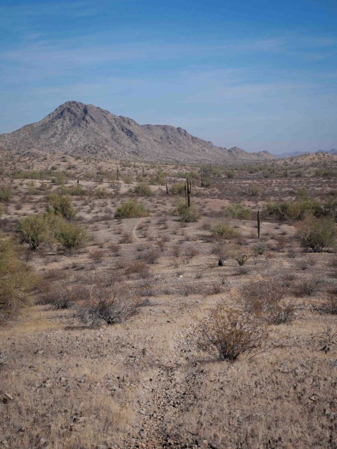
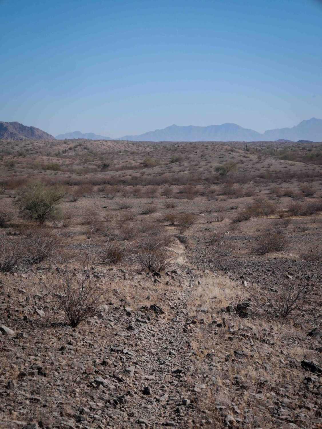
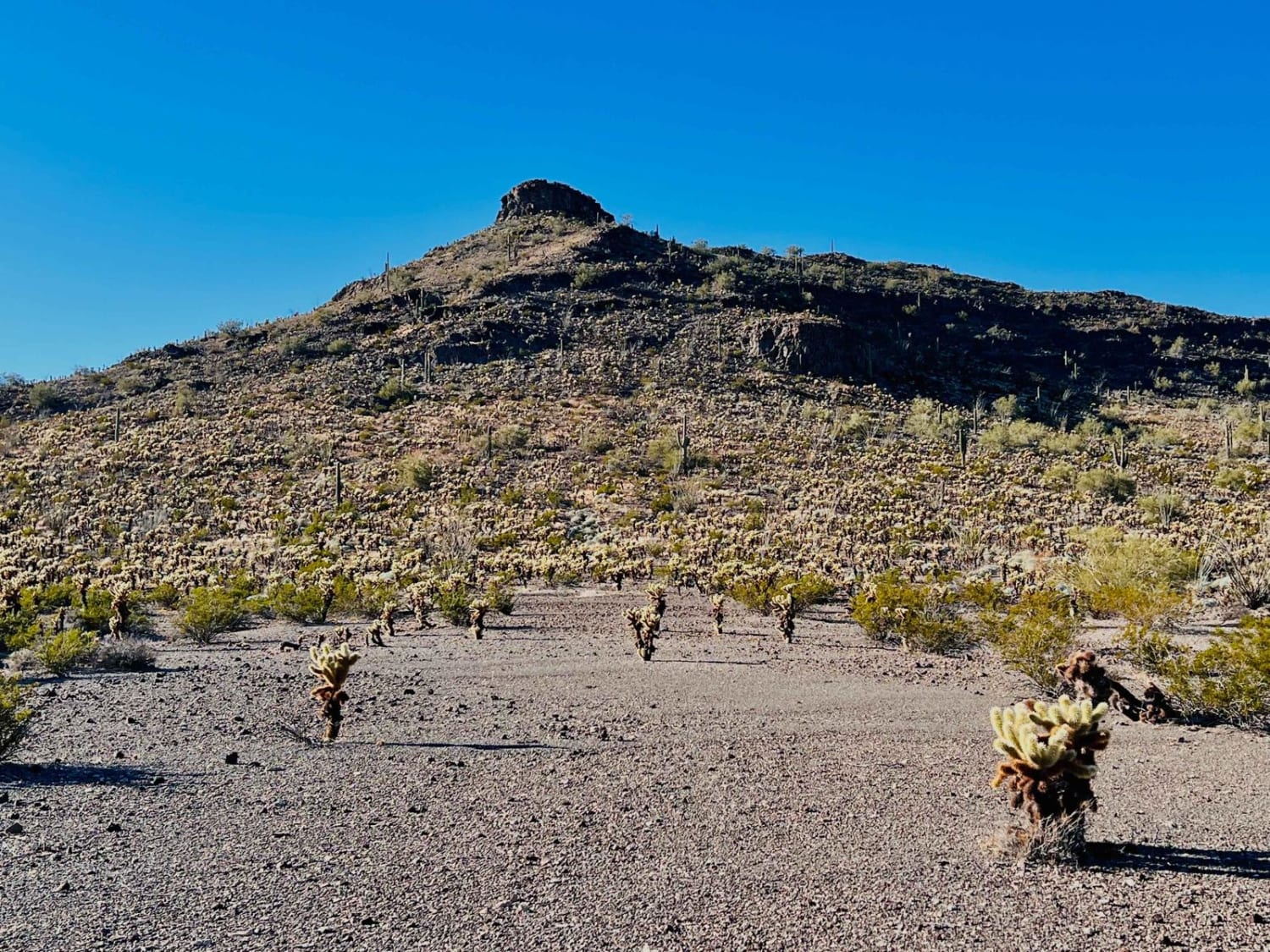
Trail Overview
This is an almost 11-mile-long dirt bike trail through the BLM land south of Buckeye. It's a mix of actual singletrack, road sections, and wider two-track sections, but it's lightly trafficked and pretty faint for a lot of the route. It goes through a gravelly rolling hill terrain, with scraggly bushes, small ravines, and sandy wash crossings. It's pretty gradual the whole way up and down the rolling hills, but it does a bunch of small hill climbs that are steep and loose and straight up for 10 feet or so. There's a fence at one point that you have to go around in the wash. Watch out for sudden deep ravine crossings like big sudden G-outs. The ravines are often rocky and full of bigger boulders. It turns into a road for the last mile, meandering through the valley floor up and over the hills.
Photos of BH1074
Difficulty
This is an intermediate trail because it has big ruts, and rocky ravine crossings that are a bit more challenging, plus small steep hill climbs.
Status Reports
BH1074 can be accessed by the following ride types:
- Dirt Bike
BH1074 Map
Popular Trails
Sunset Cholla Loop


Northbound Confusion
Deadwood Tank
The onX Offroad Difference
onX Offroad combines trail photos, descriptions, difficulty ratings, width restrictions, seasonality, and more in a user-friendly interface. Available on all devices, with offline access and full compatibility with CarPlay and Android Auto. Discover what you’re missing today!