Northbound Confusion
Total Miles
4.6
Technical Rating
Best Time
Spring, Summer, Fall
Trail Type
Full-Width Road
Accessible By
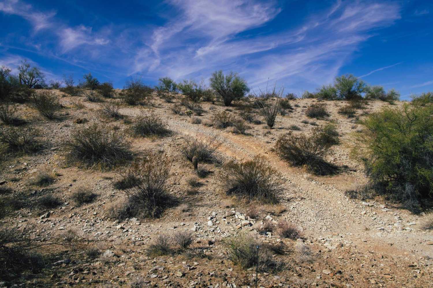
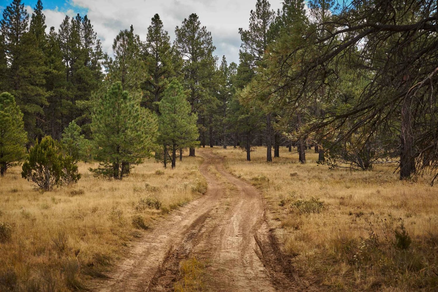
Trail Overview
This trail starts on its Southern End with a connection at the Hs013 trail. With a short, steep hill climb right out of the gate, you might be expecting more challenges along the way. Well, have no fear! At the top of the hill, you begin weaving between the desert creosote and cacti that make up the majority of the fauna in this area. The hill, and along the ridge are primarily rock and gravel surfaces, with the standard erosion and water damage, but nothing too bad. Enjoy the views whilst you're up here. You'll come down another hill, much like the first, lined with rock and not much to worry about. At the bottom, it changes to dirt and you're dipping in and out of washes and water channels. At the fence line, there's no need to go through the gate. Work your way North and you'll find a wider wash that is the main channel, and this is your exit strategy.
Photos of Northbound Confusion

Difficulty
This is an unmaintained road that is one lane wide. There are no major obstacles on this road. There are many wash and ditch crossings, some with short steep entrances and exits. If you must leave the trail to pass and/or turn around, remember to TREAD LIGHTLY as this environment is fragile and is prone to lasting damage. Look out for wild burros in the area.
Status Reports
Northbound Confusion can be accessed by the following ride types:
- High-Clearance 4x4
- SUV
- SxS (60")
- ATV (50")
- Dirt Bike
Northbound Confusion Map
Popular Trails
Seegmiller Mountain Tower Road BLM 1077
Desert Runners: Boulders to Box Canyon
The onX Offroad Difference
onX Offroad combines trail photos, descriptions, difficulty ratings, width restrictions, seasonality, and more in a user-friendly interface. Available on all devices, with offline access and full compatibility with CarPlay and Android Auto. Discover what you’re missing today!