EC1277
Total Miles
0.6
Technical Rating
Best Time
Fall, Winter, Spring
Trail Type
Full-Width Road
Accessible By
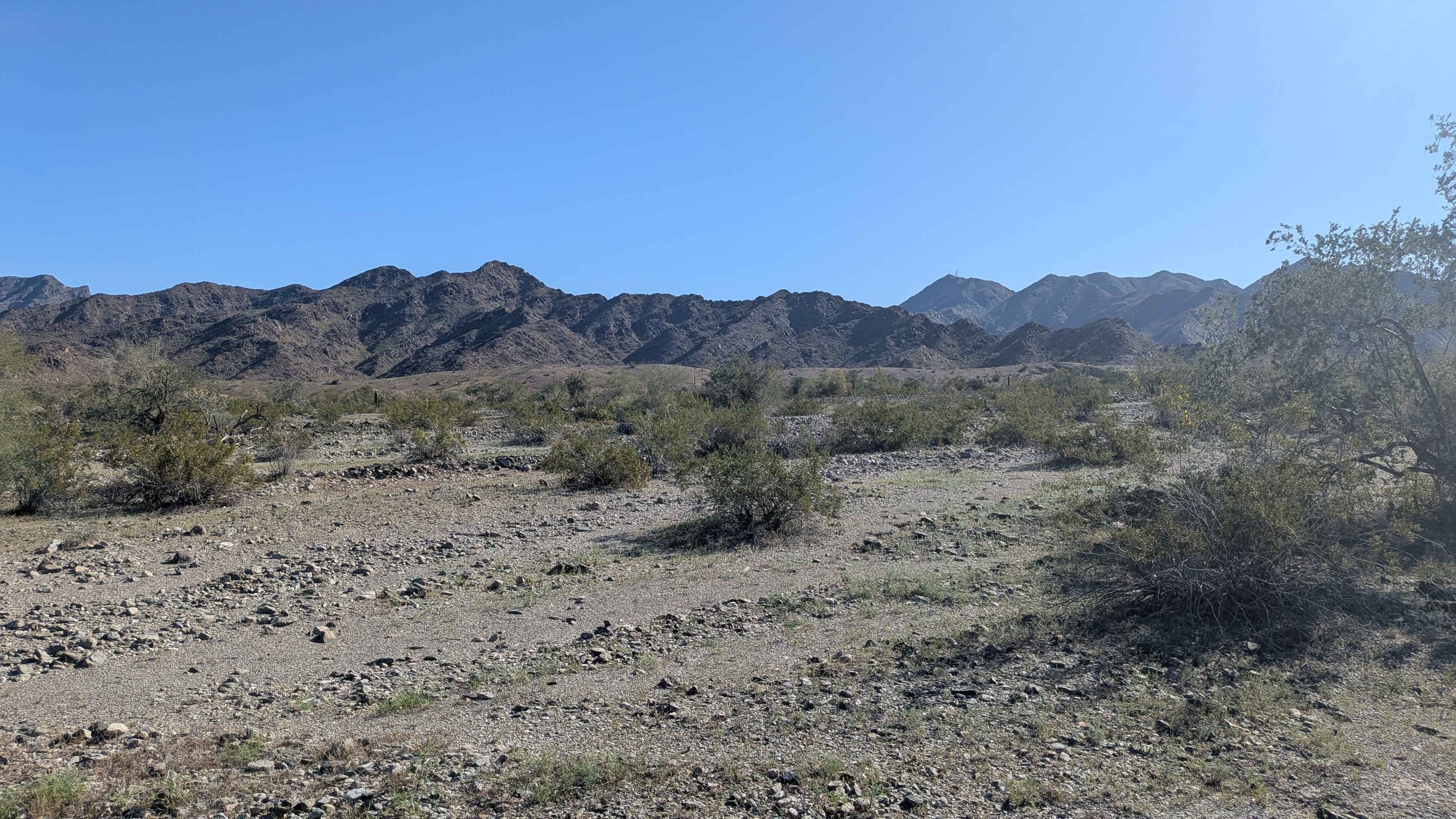
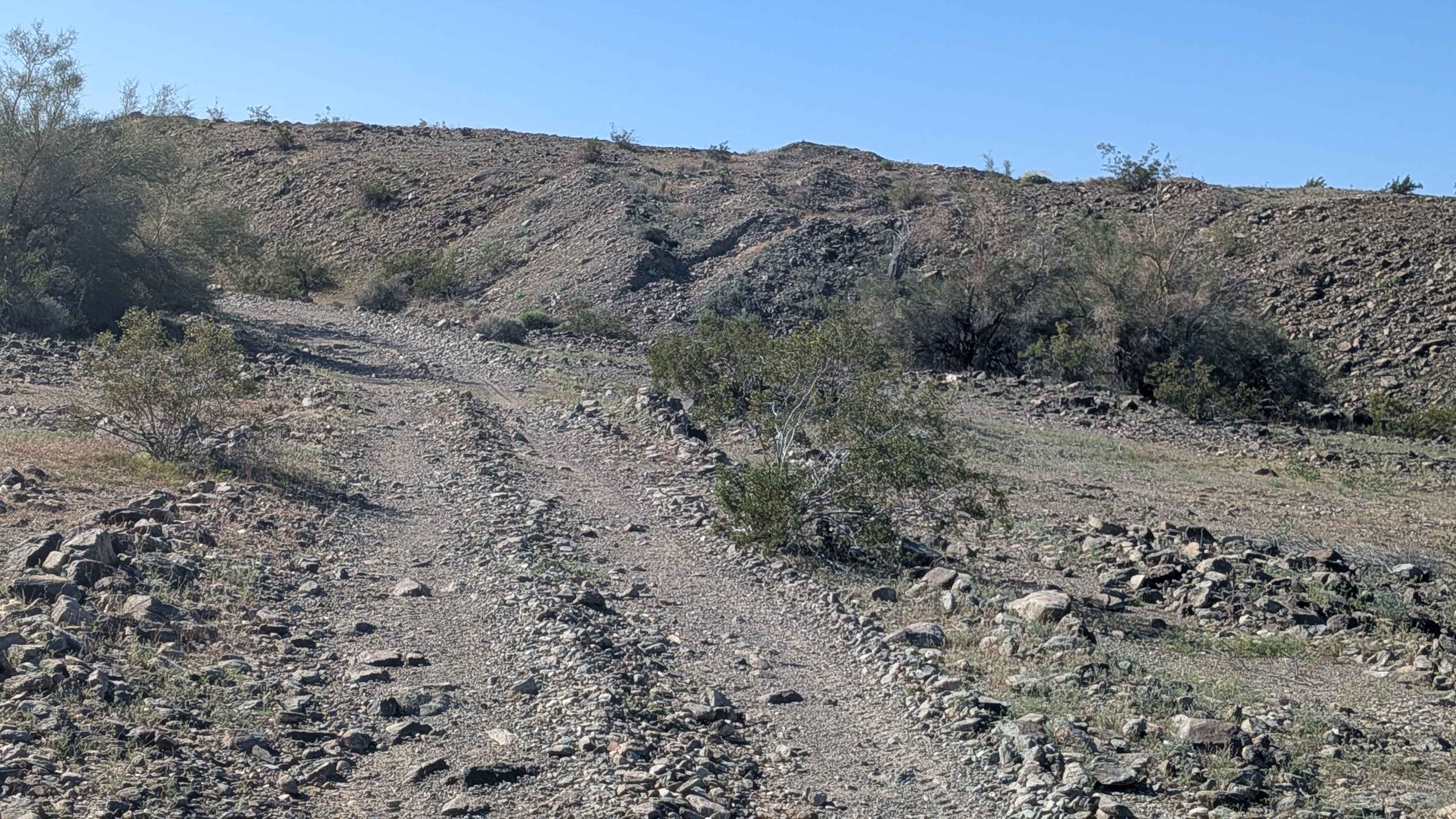
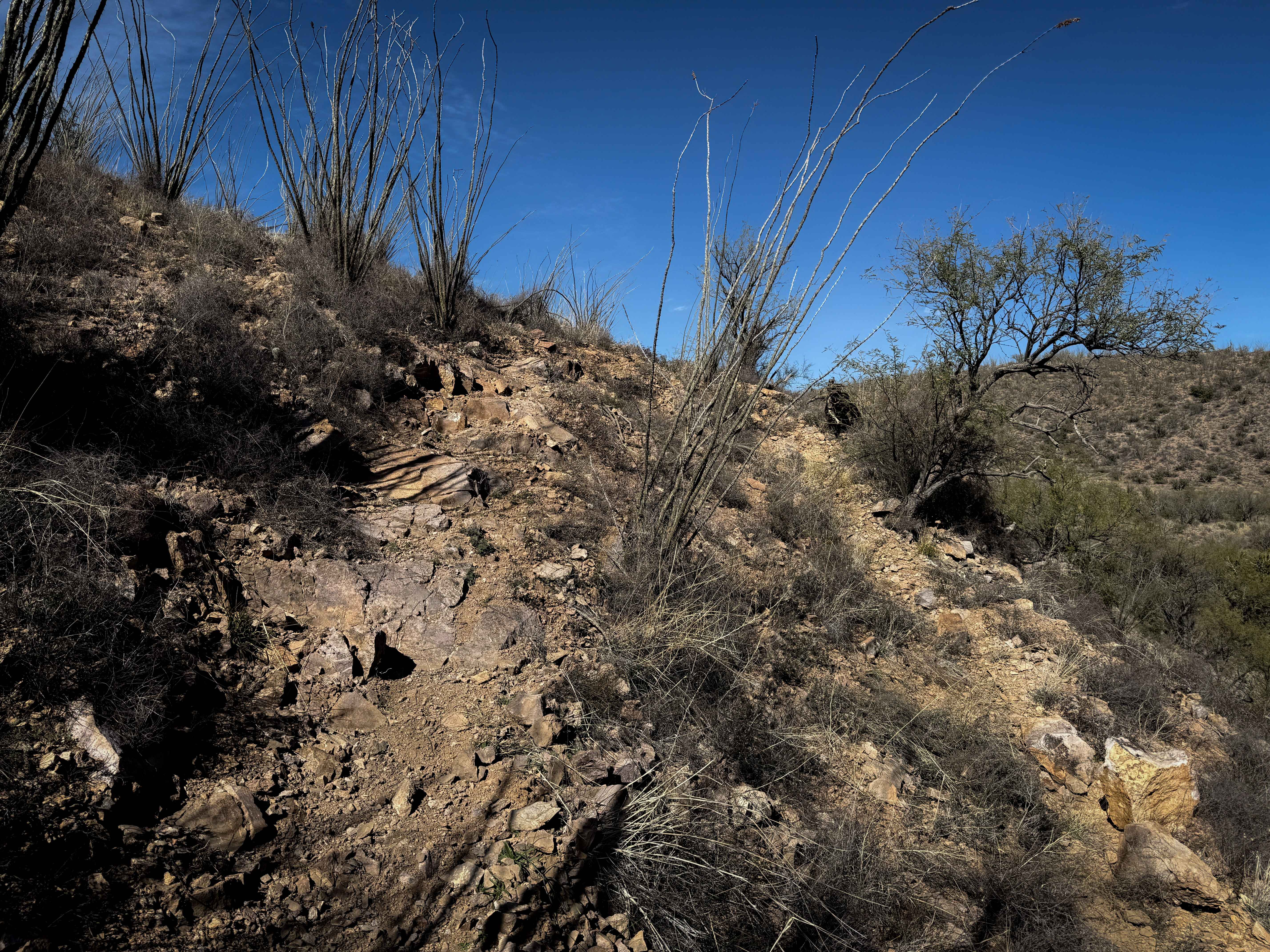
Trail Overview
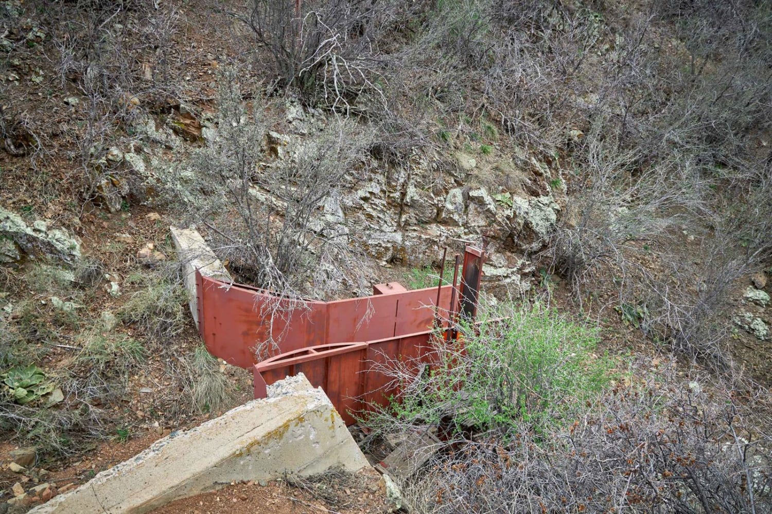
This trail used to connect EC1253 with Tom Wells Road EC1268. But runoff from the base of the Trigo Mountains has reformed the area. The trail ends 0.6 miles north of EC1253. The surface is sandy with lots of little rocks and uneven surfaces throughout. The trail is lined with gulf trees and other desert bushes typical of this federal reclamation land. You'll navigate small hills along with uneven and off-camber sections that keep things interesting. The proximity to the Trigo Mountains provides a scenic backdrop as you work your way along the foothills through this connector route.
Photos of EC1277
Difficulty
The combination of sandy surface, small rocks, and uneven terrain makes this more technical than it might appear. The small hills and off-camber sections require attention and good line choice. The uneven surfaces will test your suspension and demand slower speeds. High clearance is recommended for navigating this bumpy connector trail.
Status Reports
EC1277 can be accessed by the following ride types:
- High-Clearance 4x4
- SUV
- SxS (60")
- ATV (50")
- Dirt Bike
EC1277 Map
Popular Trails

St. Paisius Orthodox Monastery
151 Spring Shelf
The onX Offroad Difference
onX Offroad combines trail photos, descriptions, difficulty ratings, width restrictions, seasonality, and more in a user-friendly interface. Available on all devices, with offline access and full compatibility with CarPlay and Android Auto. Discover what you’re missing today!