Crown King to Castle Springs - Alternate to "Backway"
Total Miles
42.5
Technical Rating
Best Time
Spring, Fall
Trail Type
Full-Width Road
Accessible By
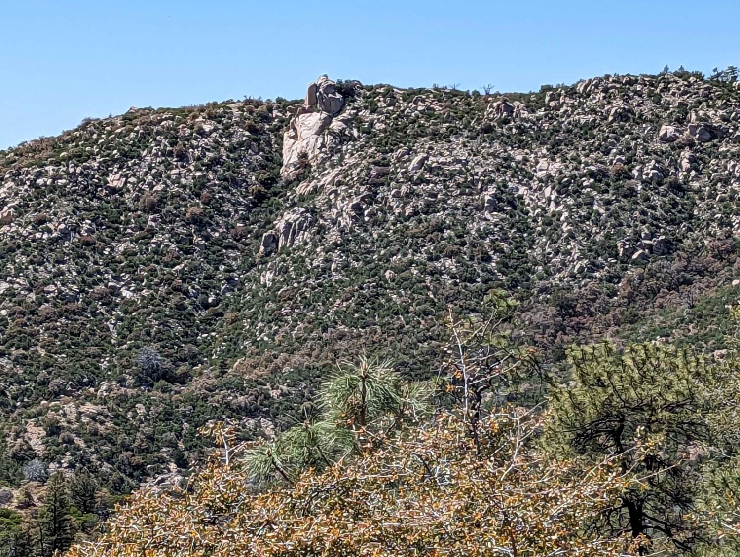
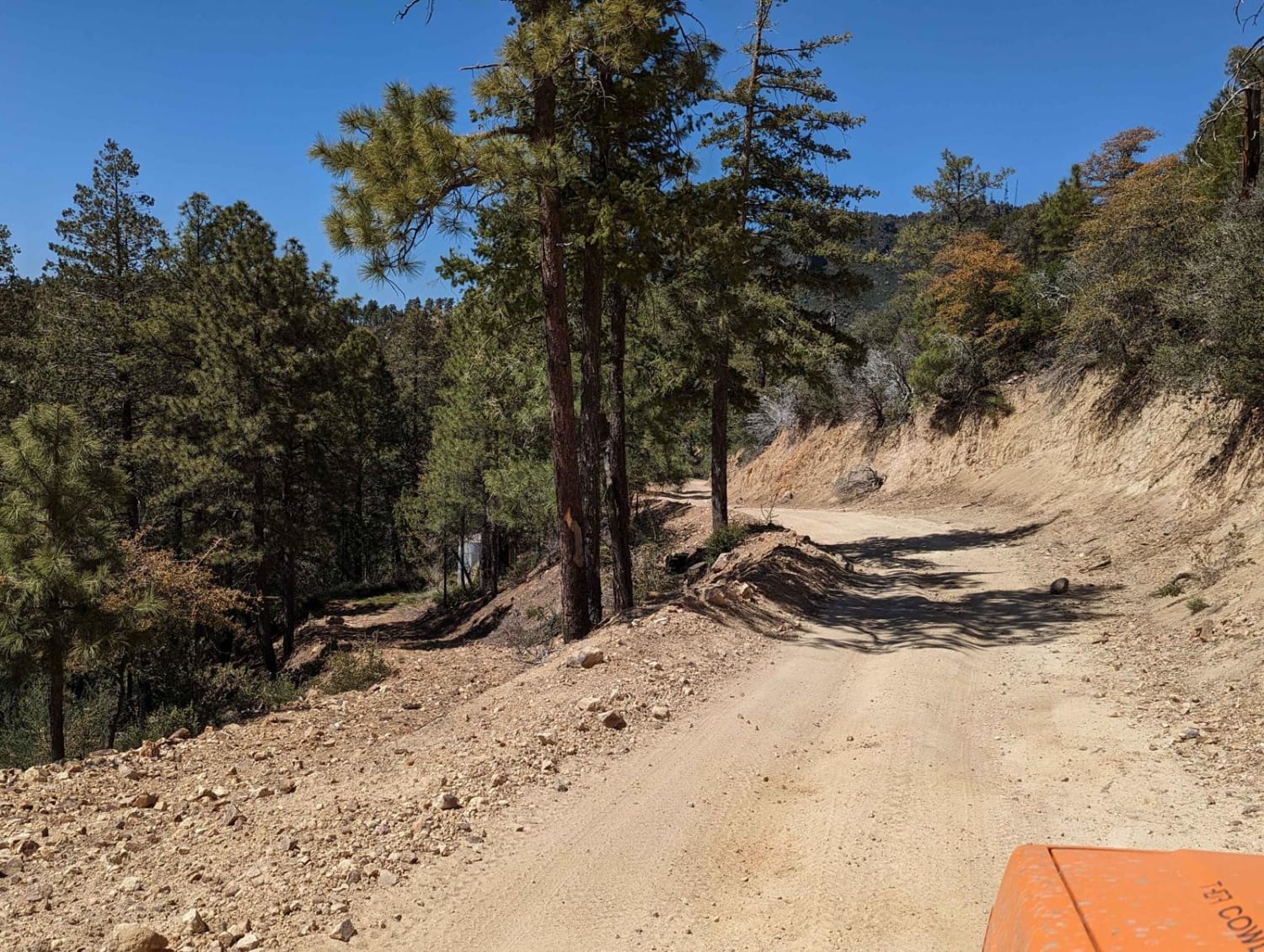
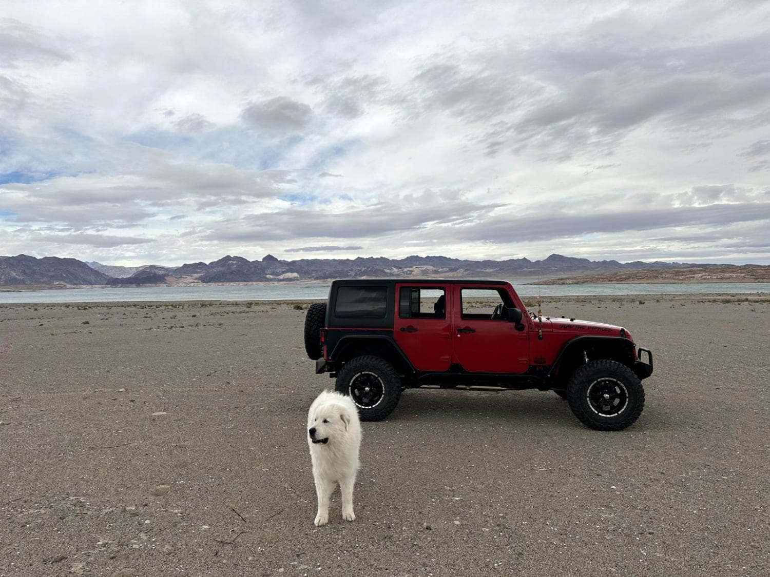
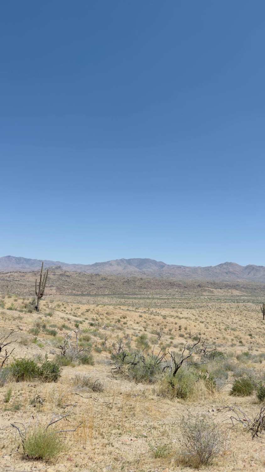
Trail Overview
This is a very scenic route but if it is wet, it can be quite tricky. Most likely will not see anyone on this very rough but not too challenging route. Rocky, bumpy, windy, and sandy. This route starts in Crown King and routes you to the Senator Highway then to walker gulch and ultimately to castle hot springs and pops out at Lake Pleasant Good chance you may see some wild burros too!
Photos of Crown King to Castle Springs - Alternate to "Backway"
Difficulty
Trees falling and other obstacles especially due to the low travel level.
Status Reports
Crown King to Castle Springs - Alternate to "Backway" can be accessed by the following ride types:
- High-Clearance 4x4
- SUV
- SxS (60")
- ATV (50")
- Dirt Bike
Crown King to Castle Springs - Alternate to "Backway" Map
Popular Trails
Bonelli Landing


Santa Maria River Road
Beeline Bypass
The onX Offroad Difference
onX Offroad combines trail photos, descriptions, difficulty ratings, width restrictions, seasonality, and more in a user-friendly interface. Available on all devices, with offline access and full compatibility with CarPlay and Android Auto. Discover what you’re missing today!