Interstate
Total Miles
10.6
Technical Rating
Best Time
Spring, Summer, Fall
Trail Type
Single Track
Accessible By
Trail Overview
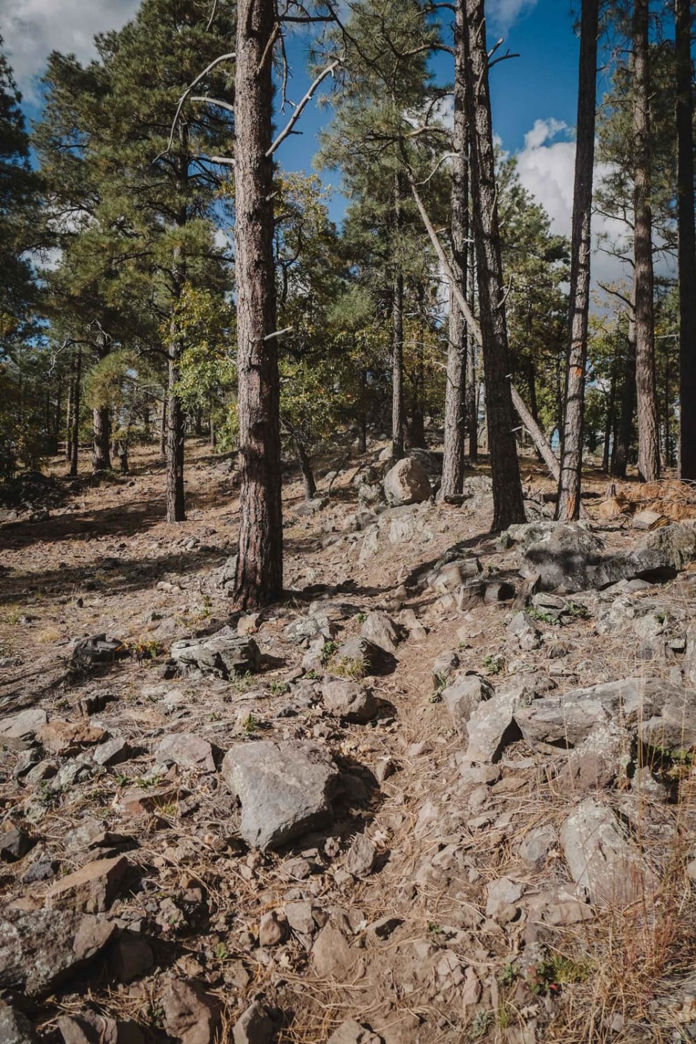
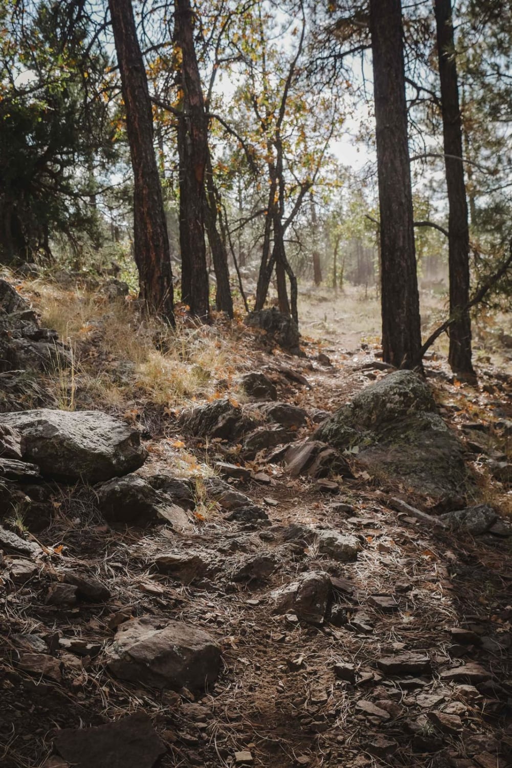
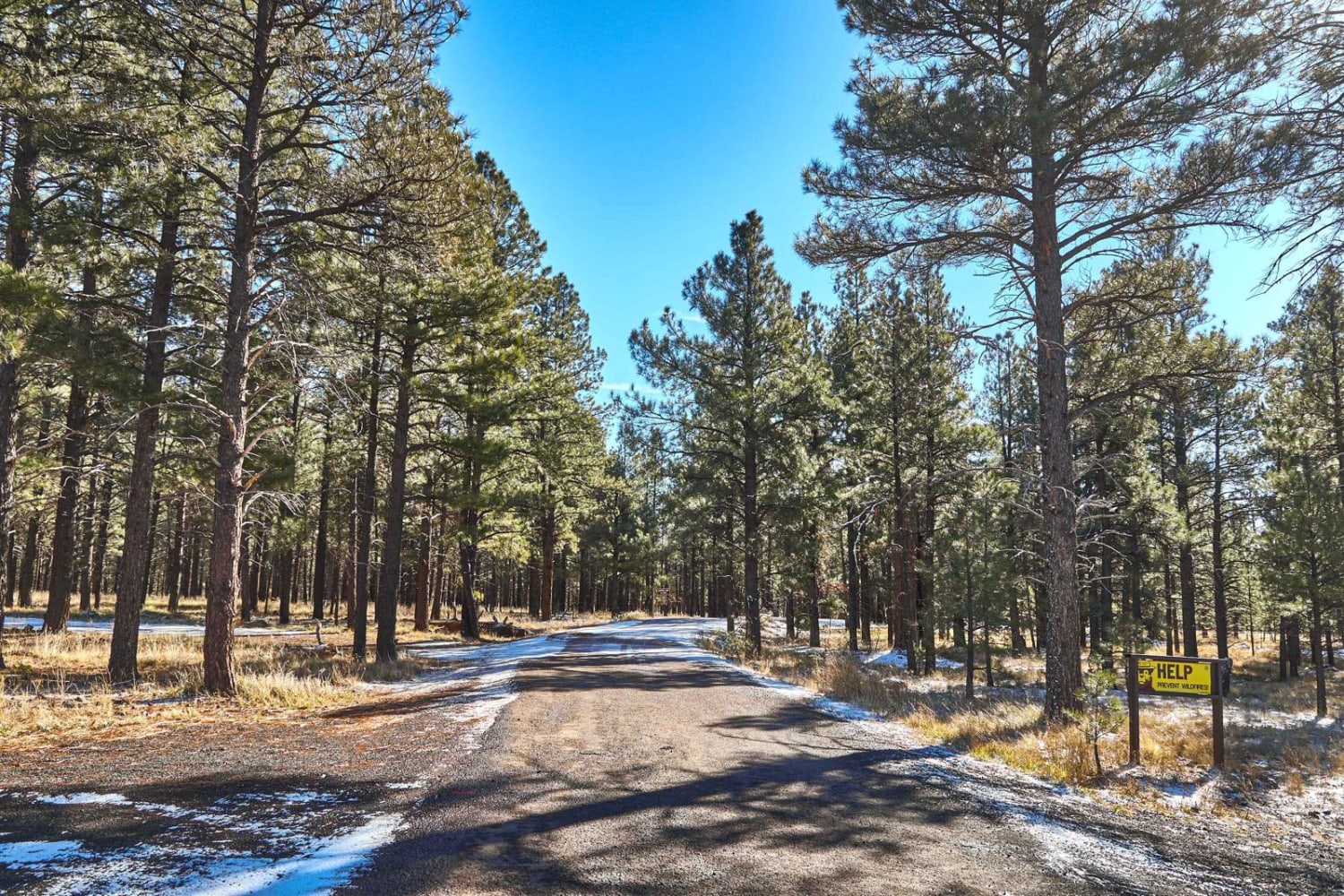
Interstate is a long 11-mile trail between Rock Rut and Frog Tank Loop. It has some sections of smooth dirt but is mostly a very rocky trail. There are lots of downed logs on the northern half as well. Most of the logs are small and rideable, or partially cut. Throughout the trail, you'll face intermediate rock ledge obstacles, lots of chunky boulders in the trail, loose volcanic rock, and loose, marbly, softball-sized rocks. There is a section in the middle where the terrain changes into more of a desert landscape with cacti through a burn area that is especially loose and rocky. It's slow going over all the rocks, and you really have to look where you are going. All the rocks will really tire out the average rider. Plan for at least an hour to ride this trail. There is a section in the middle where recent logging activity (as of October 2023) has blown out a section of the trail. Huge downed trees are blocking the trail, but if you use a GPS track and take the logging road, you can get back onto the trail. A lot of debris from branches and pine needles makes it hard to see the trail through this section, so a GPS track is extremely helpful. The very southern section smooths out with sweeping wide switchbacks and relief from all the rocks. Lastly, sometimes the trail dumps out onto a road for a quick section before ducking back off the road, so a map is helpful for these sections as well.
Photos of Interstate
Difficulty
This is a very long intermediate single track that is extremely rocky.
Status Reports
Interstate can be accessed by the following ride types:
- Dirt Bike
Interstate Map
Popular Trails

Lucky Seven - Single Track
East Buzzard Ridge
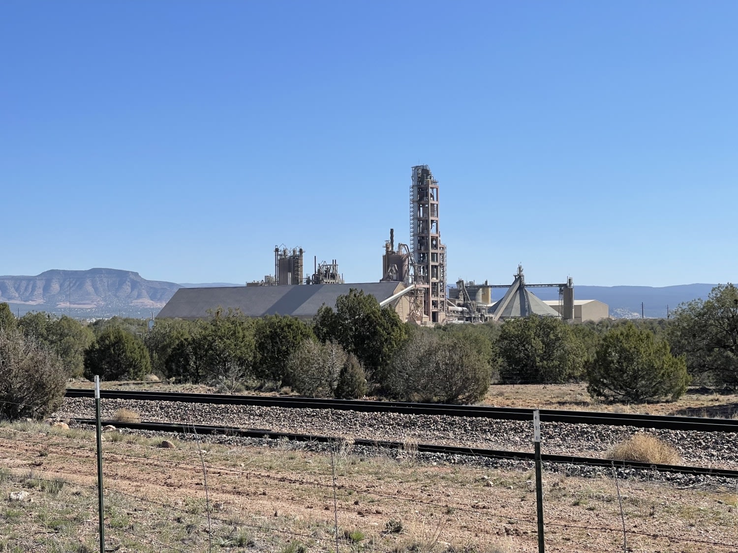
Not the Way Across the Tracks
The onX Offroad Difference
onX Offroad combines trail photos, descriptions, difficulty ratings, width restrictions, seasonality, and more in a user-friendly interface. Available on all devices, with offline access and full compatibility with CarPlay and Android Auto. Discover what you’re missing today!
