ATV 14
Total Miles
4.3
Technical Rating
Best Time
Spring, Summer, Fall
Trail Type
50" Trail
Accessible By
Trail Overview
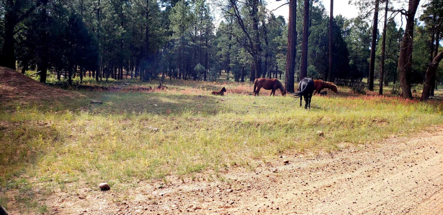
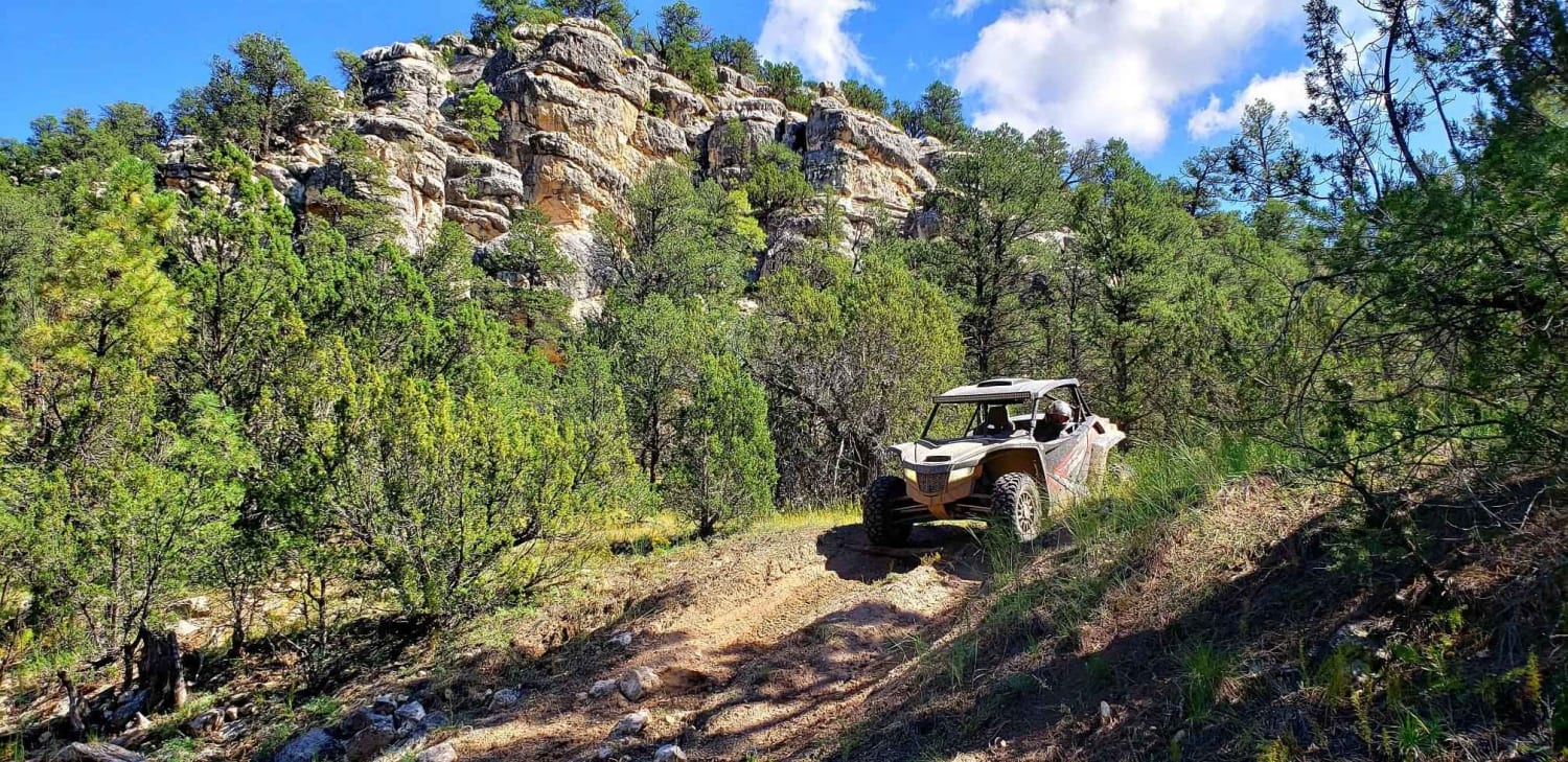
This trail has some really great views of wilderness near Heber - Overgaard, AZ. There is a point where there is an area that will require a machine capable of being a mountain goat, definitely an ATV trail. I did not realize it was an ATV trail until I started on a downhill segment into the canyon while I was driving it. I highly recommend you DO NOT take any large machines down this road and highly recommend you have good offroad experience and go with a friend. There are some challenging rocks and turns going down this hill. Talking to someone else on this trip going back up is even worse. If you love a good challenge on your ATV, this is for you!
Photos of ATV 14
Difficulty
There is a section of this trail that goes down into a canyon. Tough trip down even tougher trip up. Large rocks on a steep grade with sharp turns and off camber sections.
Status Reports
ATV 14 can be accessed by the following ride types:
- ATV (50")
- Dirt Bike
ATV 14 Map
Popular Trails
461/Jacob Lake

Wet Beaver Creek Road
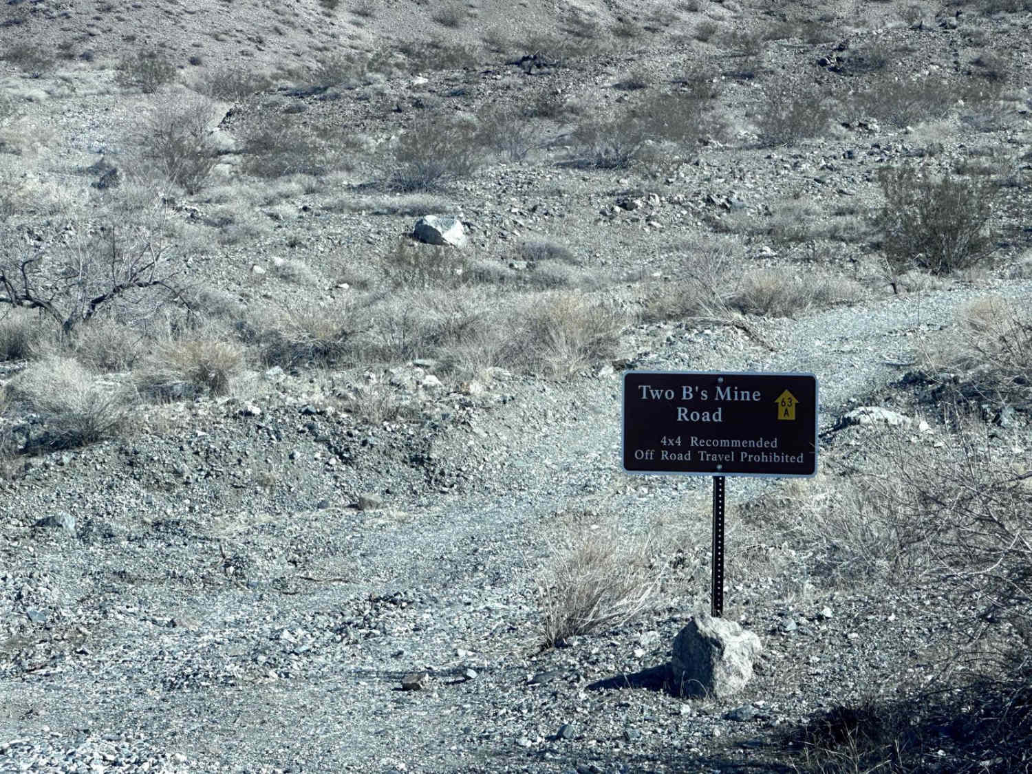
Two B's Mine Road
The onX Offroad Difference
onX Offroad combines trail photos, descriptions, difficulty ratings, width restrictions, seasonality, and more in a user-friendly interface. Available on all devices, with offline access and full compatibility with CarPlay and Android Auto. Discover what you’re missing today!