Copper Creek Trail
Total Miles
13.1
Technical Rating
Best Time
Summer, Fall, Spring
Trail Type
High-Clearance 4x4 Trail
Accessible By
Trail Overview
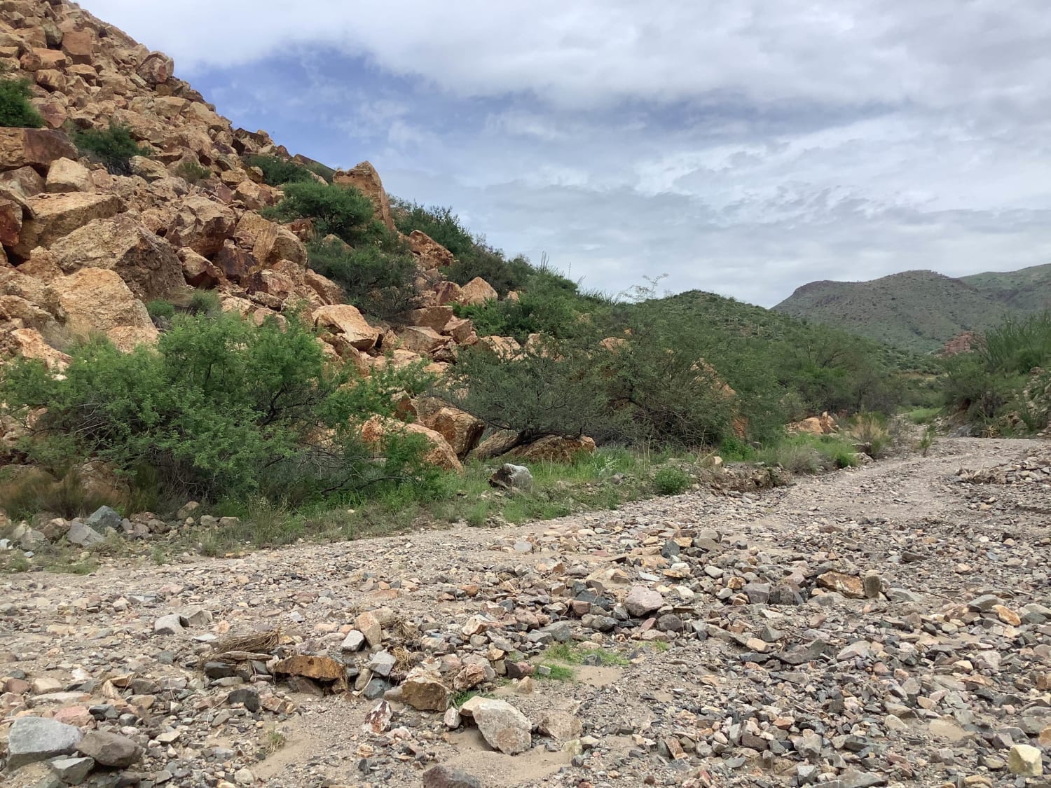
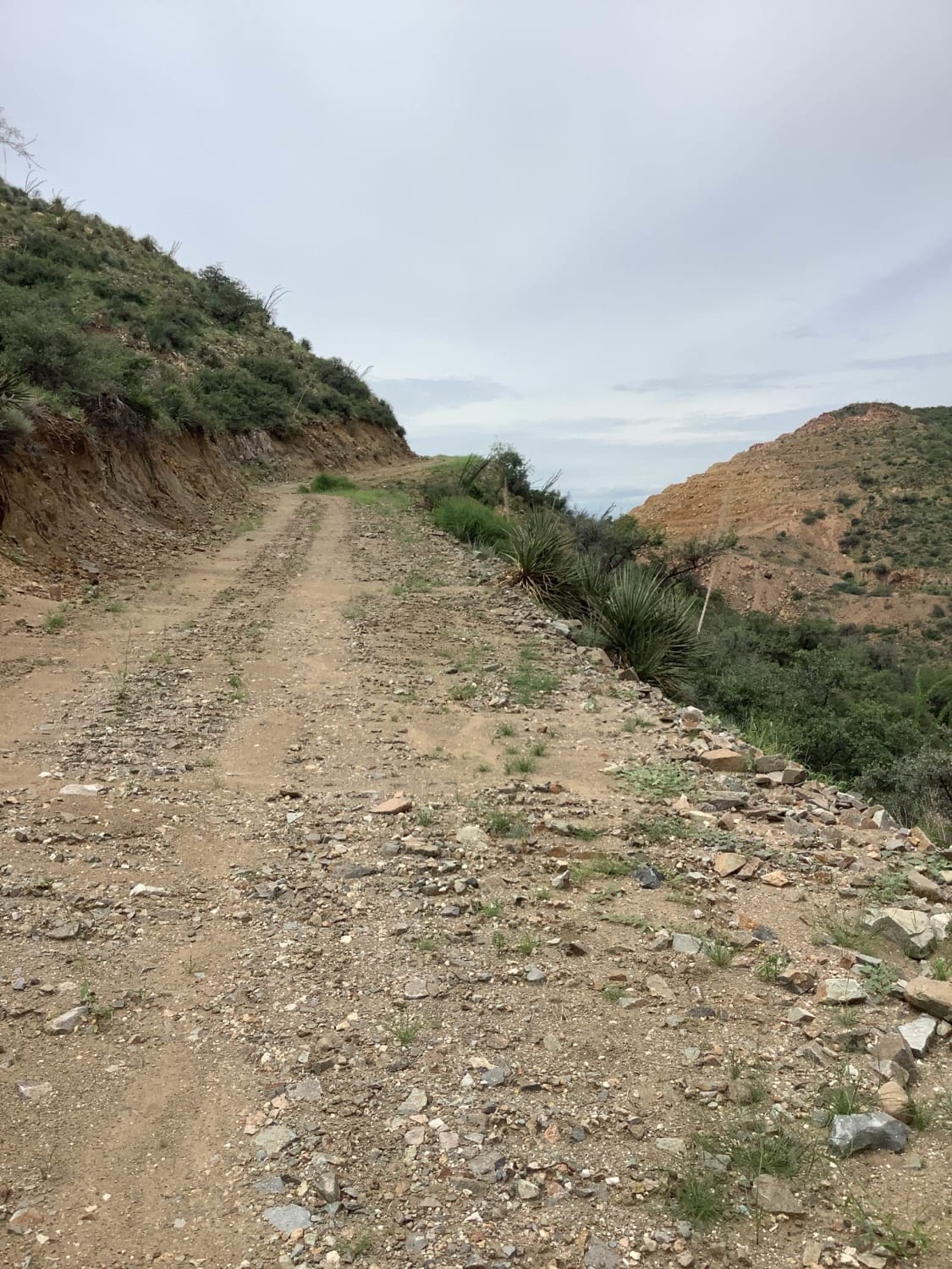
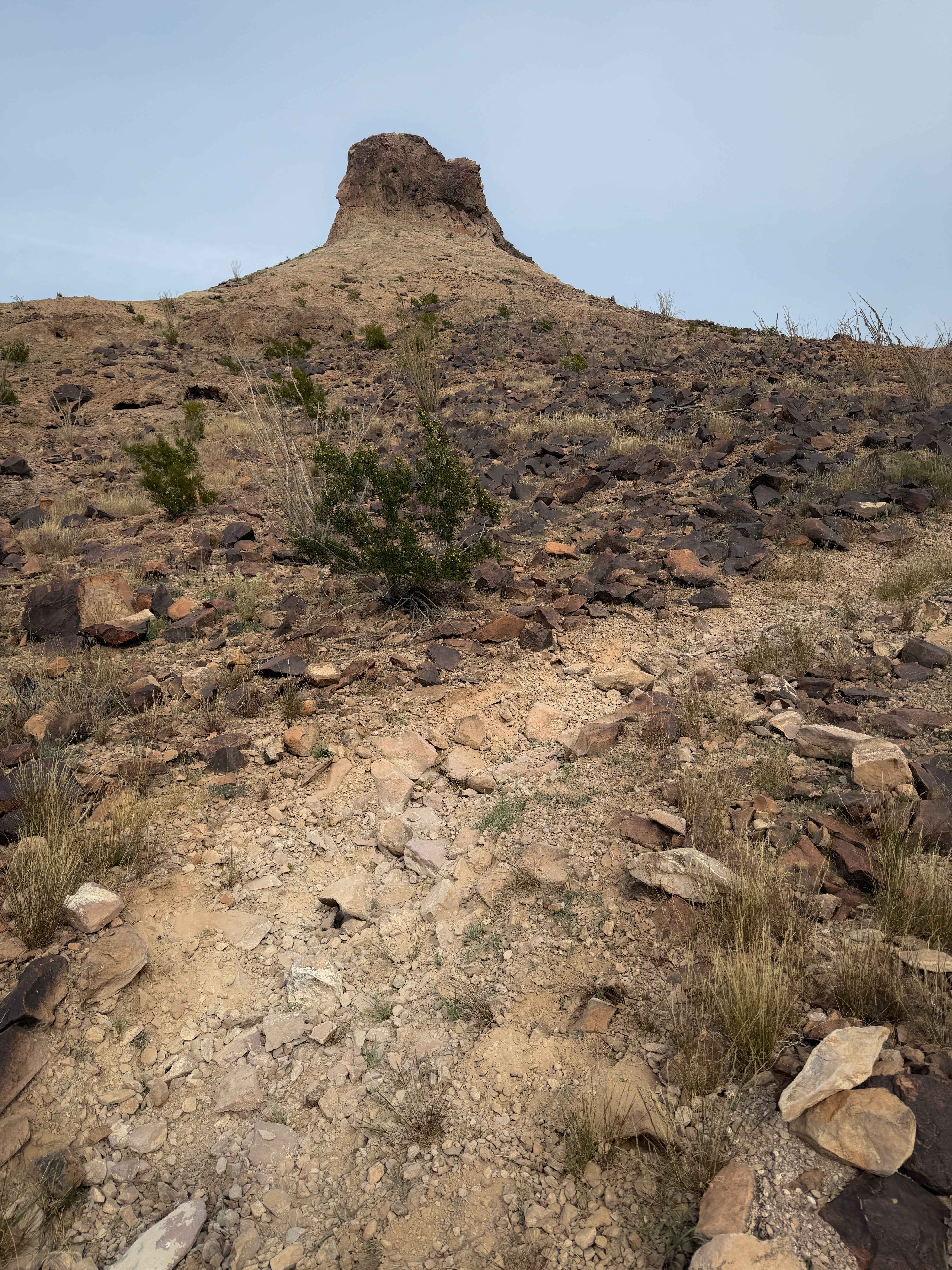
This trail starts out on Arizona State Trust land which requires a permit from the state and are easy to get and last year. It also crosses private land and requires each rig to sign in and out per land owner request. A scenic trail starting E of Mammoth AZ, that winds its way thru some sandy washes following Copper Creek into the Galiuro Mts where prospectors searched for precious ores. An easy trail consisting of washes, dirt and rocky roads it crosses the creek then a series of switchbacks takes you to the top where the views are spectacular.There are several side trails to explore, places to pull off for pictures or breaks, lots of mine tailings where prospectors tried their luck. Majestic saquaros, giant barrel cacti, huge pear cacti, hedgehog cacti, along with numerous shrubs and trees surround the trail in their beauty. Keep your eyes open, wildlife will be near water sources and also keep in mind that water is a valuable resource to wildlife. The trail circles around and eventually meets up with the main trail and takes you back down the mountains to the beginning of the trail. Cell service is patchy, so download your map prior to your trip.
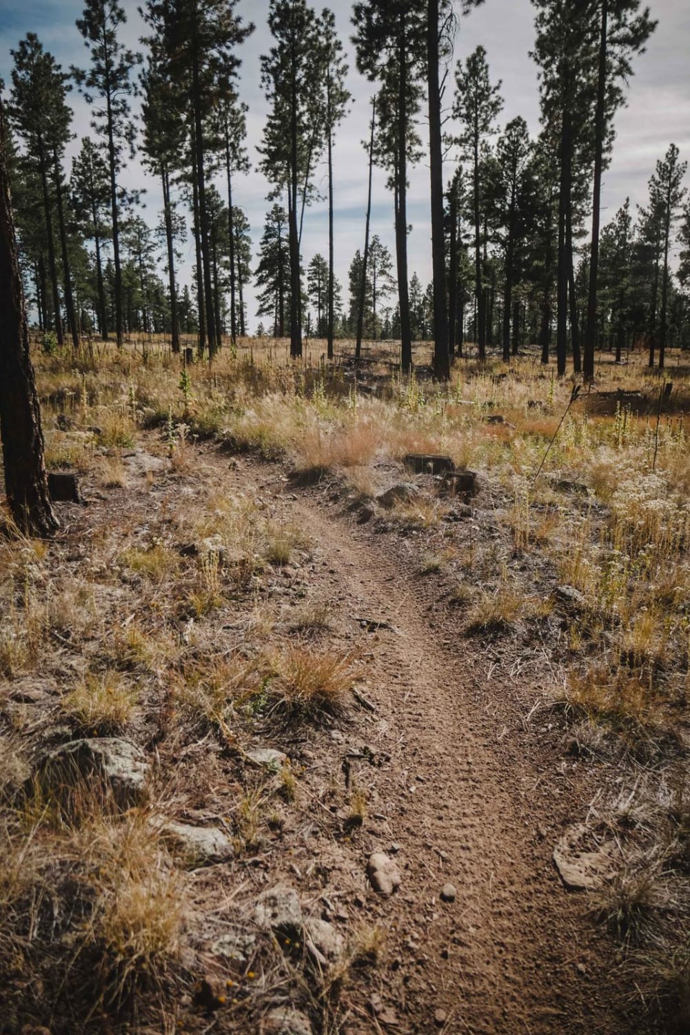
Photos of Copper Creek Trail
Difficulty
Sandy washes, decomposed granite and dirt trail. Don't cross Creek during high water or flooding.
History
Mining
Status Reports
Copper Creek Trail can be accessed by the following ride types:
- High-Clearance 4x4
- SxS (60")
- ATV (50")
- Dirt Bike
Copper Creek Trail Map
Popular Trails
Soldier Pass
Heavenly Pass

The Sad Lockout
The onX Offroad Difference
onX Offroad combines trail photos, descriptions, difficulty ratings, width restrictions, seasonality, and more in a user-friendly interface. Available on all devices, with offline access and full compatibility with CarPlay and Android Auto. Discover what you’re missing today!