Champagne
Total Miles
0.7
Technical Rating
Best Time
Winter, Spring, Fall
Trail Type
Single Track
Accessible By
Trail Overview
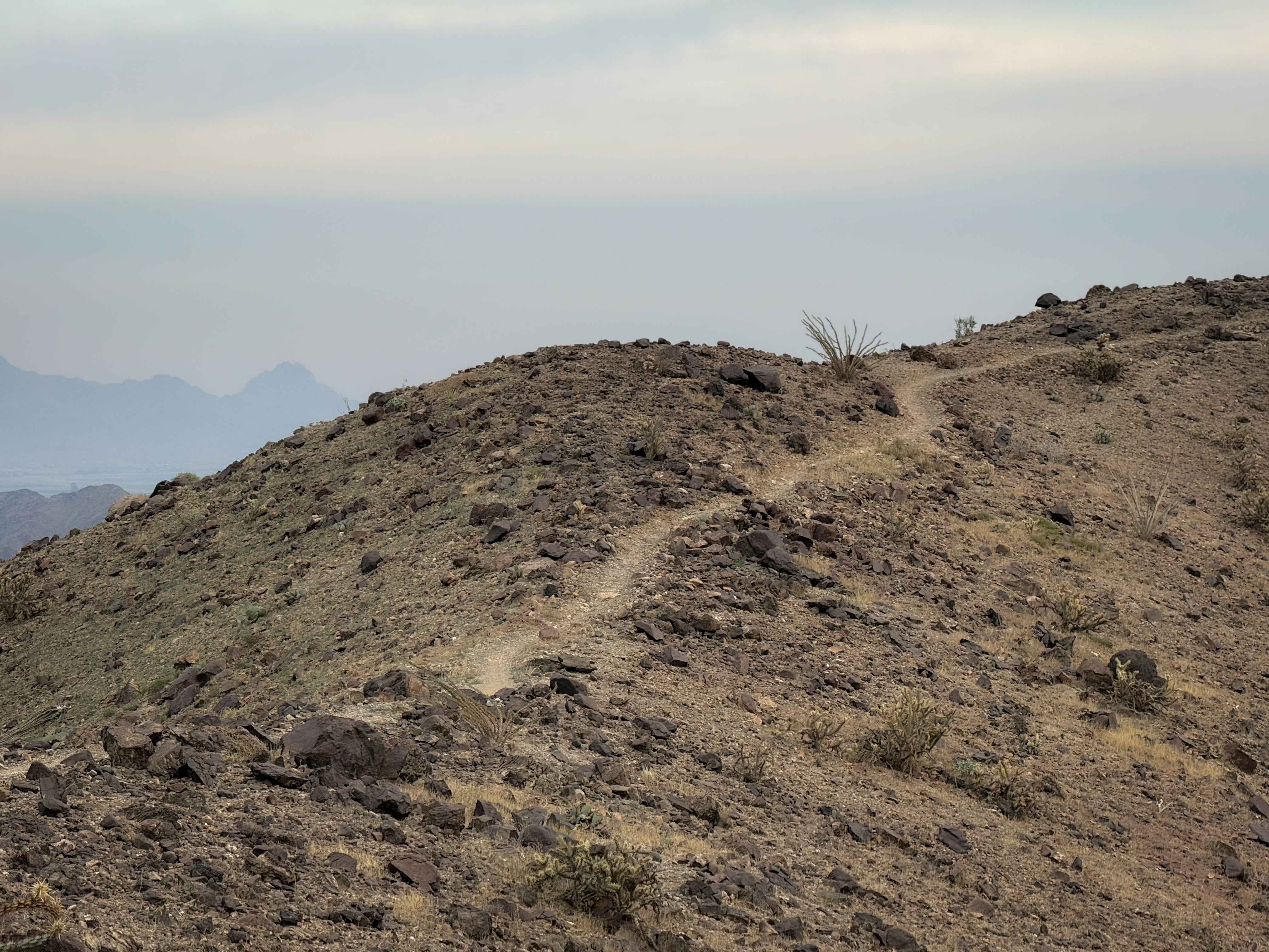
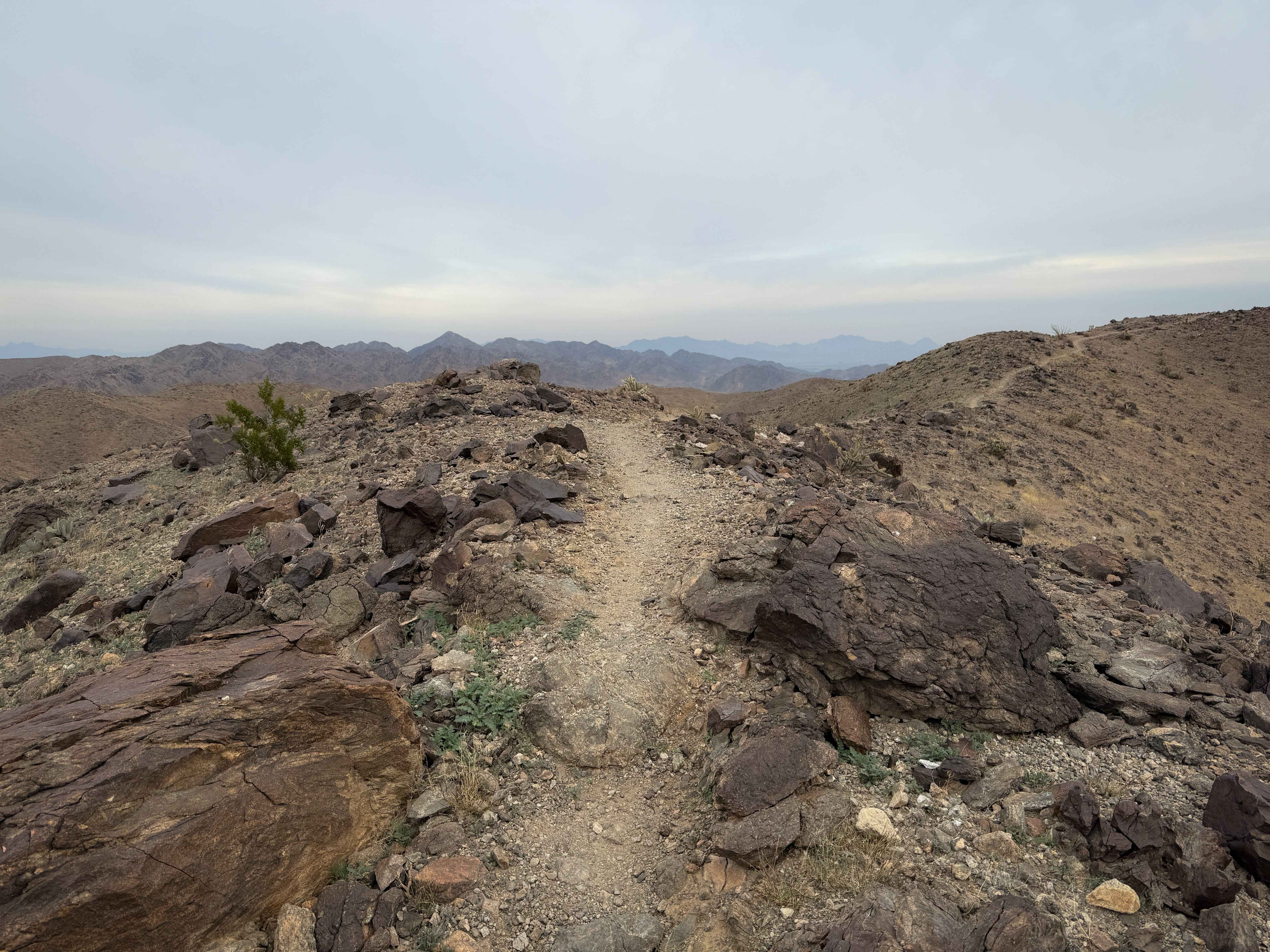
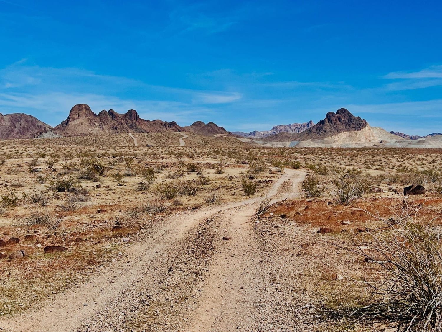
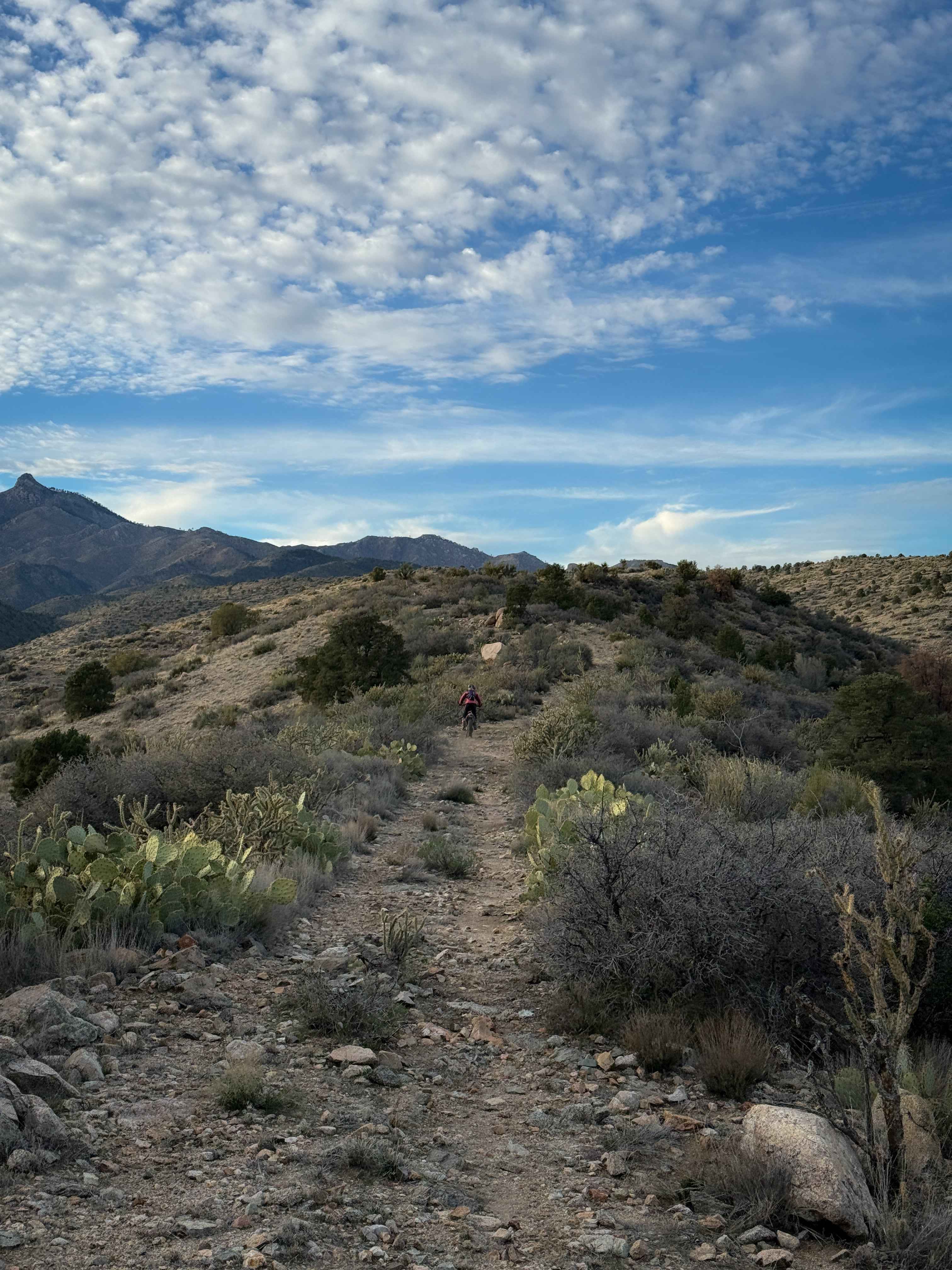
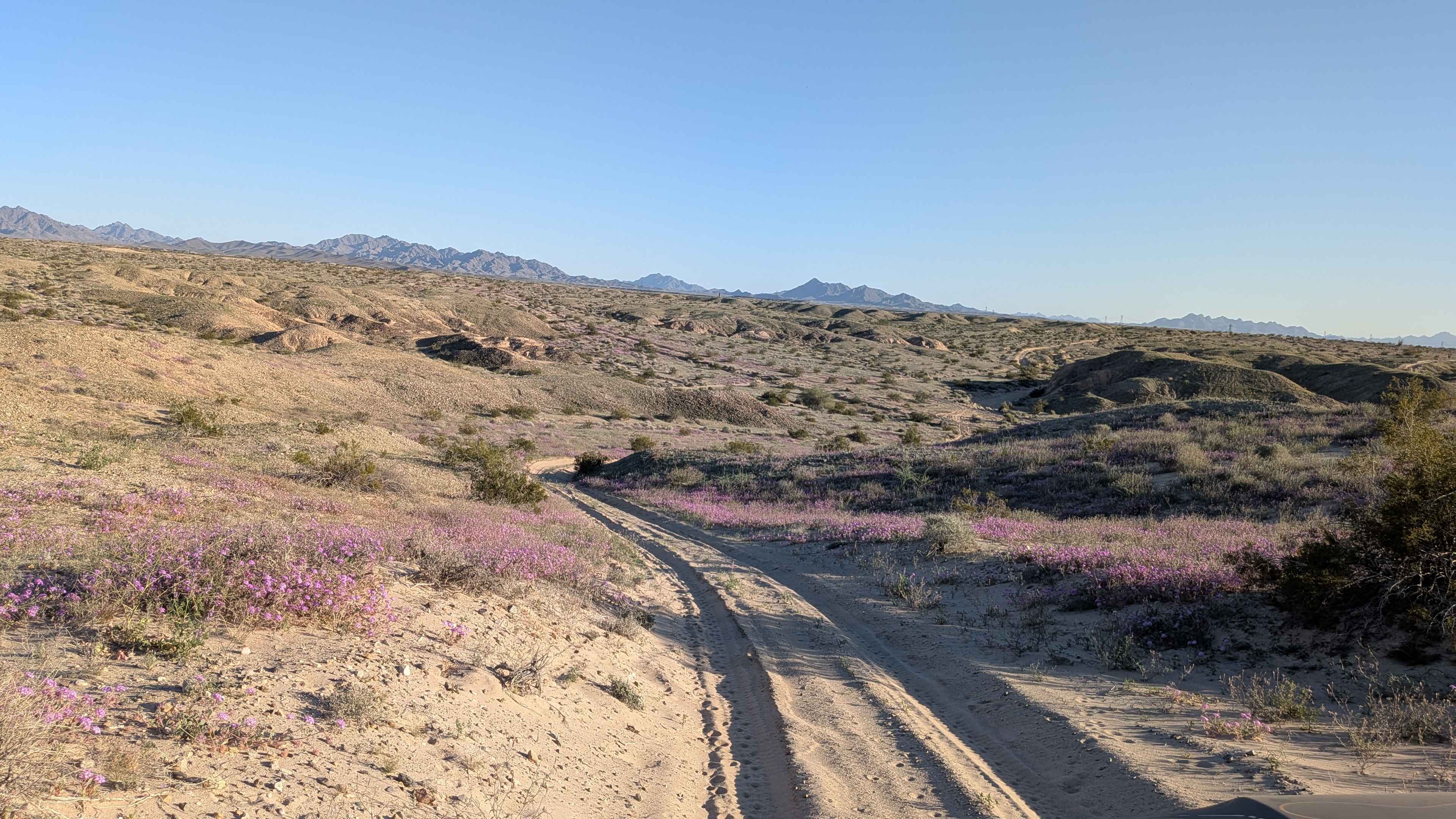
Champagne is a short trail through the Laguna Hills that continues southeast after the Picnic Table Trail. The trail is almost a mile long, and overall gains a hundred feet of elevation as it rides along the ridge line on these flowing desert mountains. It constantly goes up and down small hills on a dirt surface mixed with small loose rocks. The trail is narrow and exposed at times as it sidehills along the hilltops. There are sometimes bigger embedded rock surfaces in the trail, but no major obstacles. The trail is lined with cholla and other spiky cacti that you'll want to watch out for. The south end of the trail is at a wooden bench at a viewpoint overlooking the Laguna Hills.
Photos of Champagne
Difficulty
This is overall an easy trail as it has minor rocky features and mild exposure during narrow segments, but no major obstacles. It is ideal for riders with a basic experience level or looking to improve their singletrack skills.
Status Reports
Champagne can be accessed by the following ride types:
- Dirt Bike
Champagne Map
Popular Trails
Wheeler Wagon Ridge Dispersed Camps
Gateway to Seven Springs
The onX Offroad Difference
onX Offroad combines trail photos, descriptions, difficulty ratings, width restrictions, seasonality, and more in a user-friendly interface. Available on all devices, with offline access and full compatibility with CarPlay and Android Auto. Discover what you’re missing today!