Craigie Creek
Total Miles
4.3
Technical Rating
Best Time
Summer
Trail Type
High-Clearance 4x4 Trail
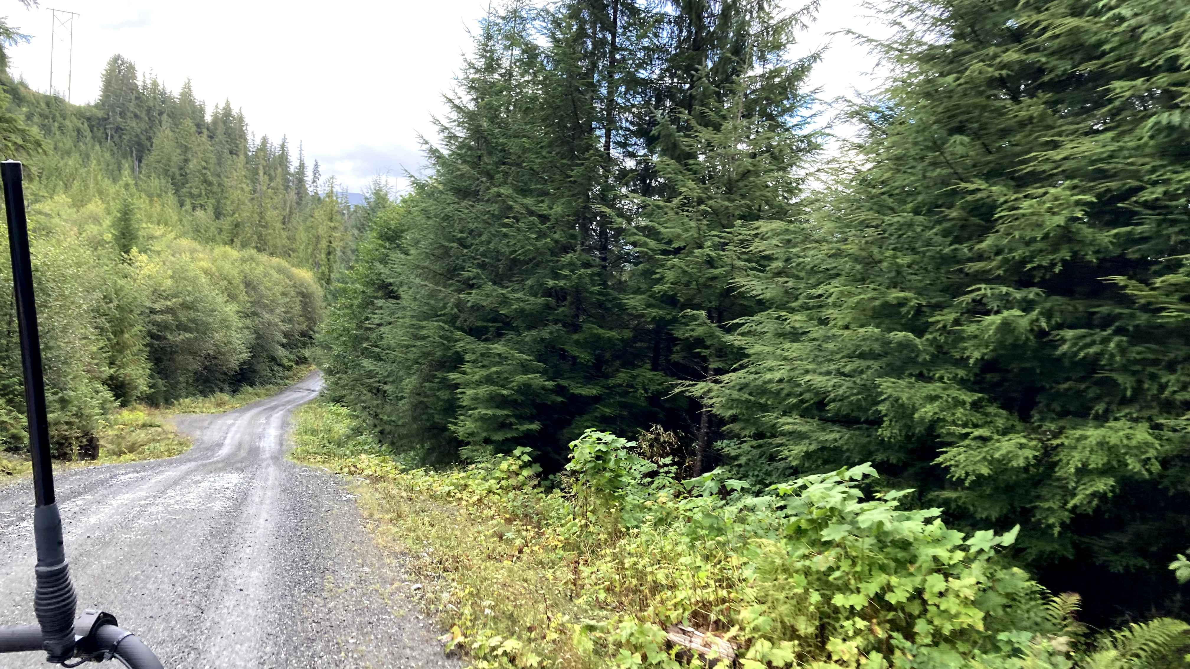
Accessible By
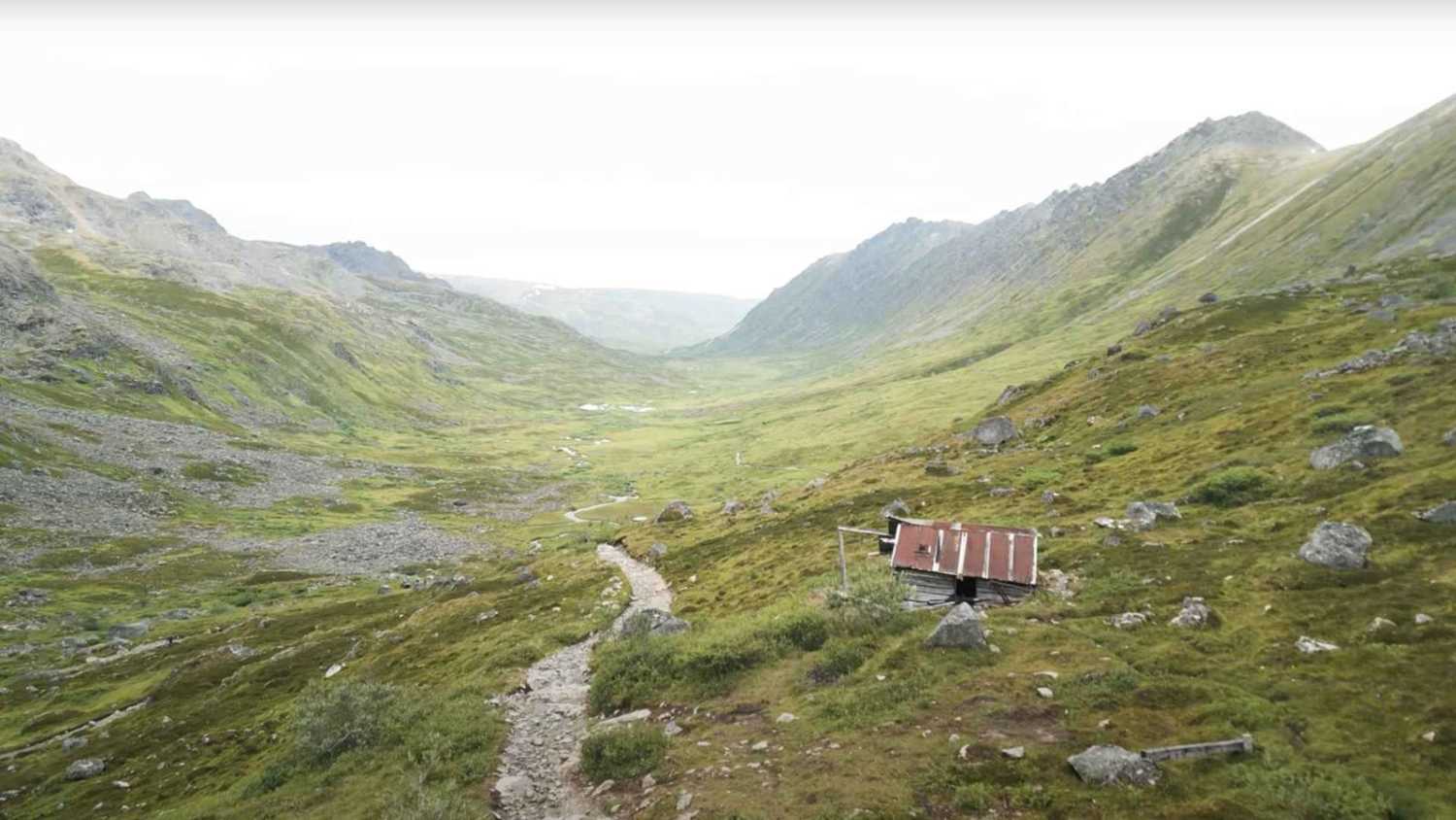
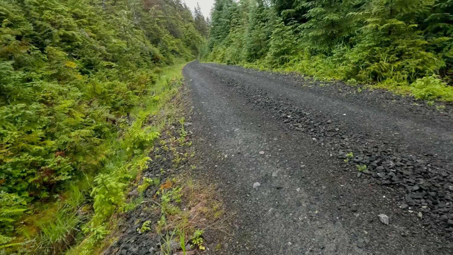
Trail Overview
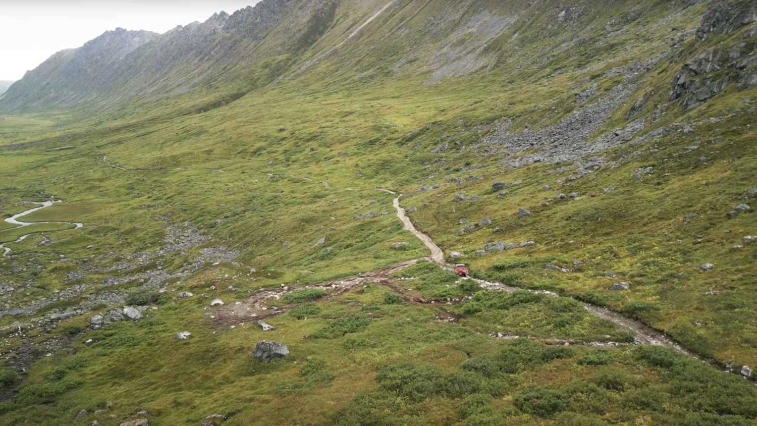
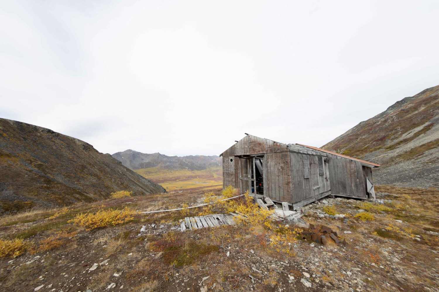
This 4.5-mile trail climbs 1,000 feet up a long, lush valley lined with towering peaks on both sides and low vegetation everywhere. It passes by relics and ruins of old mining days, and ends at an abandoned mining hut still full of furniture and equipment from its heyday. The first half of the trail is your typical low elevation gradual climb with Mud, Water pits, and mild rocky terrain. The second half of the trail gets considerably more difficult with larger rock fields, uneven rutted terrain, and several tight turns with off-camber trail.
Photos of Craigie Creek
Difficulty
The first half of the trail is relatively easy, depending on the time of year, and covers the first 3 miles to a nice turnaround spot nestled in the valley floor. The final 1.5-mile push is where things get difficult and dangerous as you are climbing a rock field often filled with loose rocks the size of a basketball that can be slick with recent rain and mud.
History
The Craigie Creek area was once a thriving mining district, with the Gold Bullion Mine and other operations in the 1930s. Along the trail, visitors can find remnants of mining buildings, equipment, and other structures, providing a glimpse into the area's past. During the mining boom, Craigie Creek had a large enough population to support its own post office.
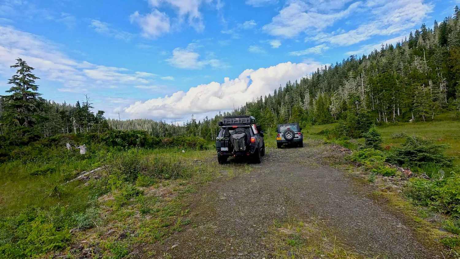
Craigie Creek can be accessed by the following ride types:
- High-Clearance 4x4
- SxS (60")
- ATV (50")
- Dirt Bike
Craigie Creek Map
Popular Trails
French Twin 40008
The onX Offroad Difference
onX Offroad combines trail photos, descriptions, difficulty ratings, width restrictions, seasonality, and more in a user-friendly interface. Available on all devices, with offline access and full compatibility with CarPlay and Android Auto. Discover what you’re missing today!