Off-Road Trails in Alabama

Discover off-road trails in Alabama

Learn more about Meadow Creek Road
Meadow Creek Road

Meadow Creek Road

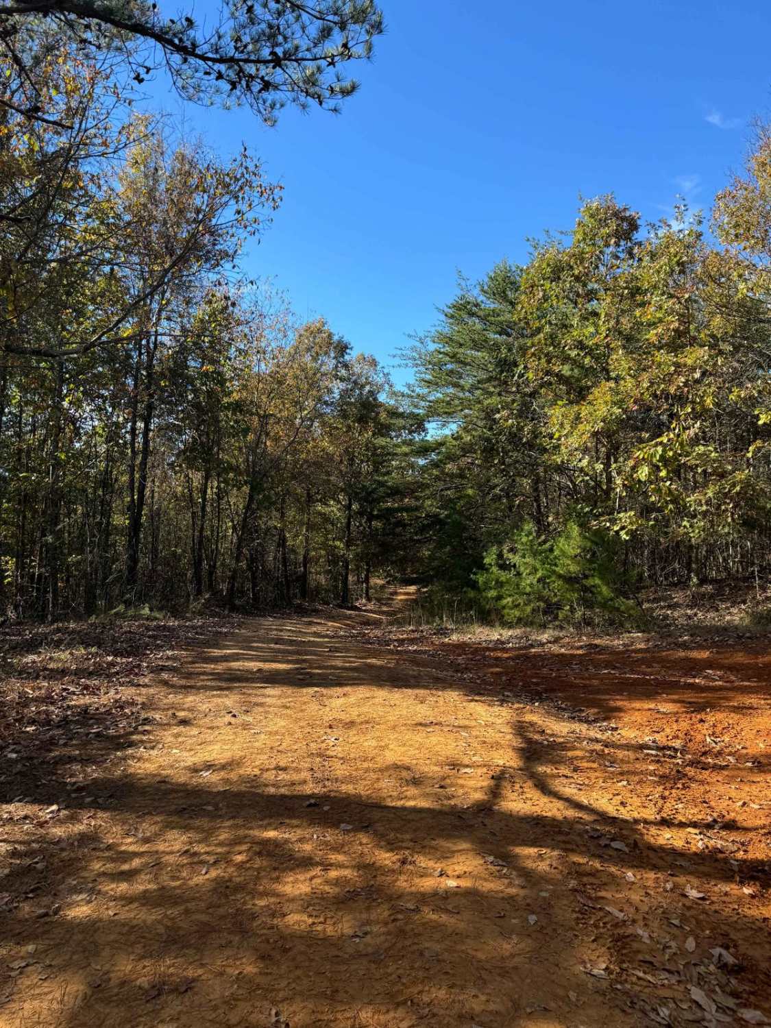
Meadow Creek Road or Winston County 357 is a maintained public gravel road running North from Highway 278 through Pine Timber Forestlands to Yankee Trace Road just before Highway 13. Meadow Creek Road offers an…
Learn more about Meadow Creek Road
Total Miles
4.2
Tech Rating
1 Easy
Best Time
Spring, Summer, Fall, Winter
Learn more about Mount Olive
Mount Olive

Mount Olive

This trail is mostly rough dirt roads barely big enough for two vehicles. There are some side trails that are gated and you will pass by some private property, so be cautious of any signage.…
Learn more about Mount Olive
Total Miles
4.7
Tech Rating
2 Easy
Best Time
Spring, Summer, Fall, Winter
Learn more about Poplar Springs Trail
Poplar Springs Trail

Poplar Springs Trail

This trail can be run in either direction but is best run from North to South. Starting at the North part you will head South. The trail is mostly down the mountain. There are areas…
Learn more about Poplar Springs Trail
Total Miles
5.3
Tech Rating
3 Easy
Best Time
Fall, Winter, Spring, Summer
Learn more about Rattlesnake Green Trail
Rattlesnake Green Trail

Rattlesnake Green Trail

This is a great beginners' trail. It has just about all types of obstacles but they are perfect for first-time off-roaders or those just learning. It is stock friendly and has many beautiful areas along…
Learn more about Rattlesnake Green Trail
Total Miles
3.6
Tech Rating
3 Easy
Best Time
Fall
Learn more about Rattlesnake Orange Trail
Rattlesnake Orange Trail

Rattlesnake Orange Trail

This trail has many different obstacles. First, you will travel down the two-lane road from the entrance of the Seven springs Lodge and trails to the start of the orange trail. The trail is passable…
Learn more about Rattlesnake Orange Trail
Total Miles
3.6
Tech Rating
4 Moderate
Best Time
Fall, Summer
Learn more about Rattlesnake Red Trail
Rattlesnake Red Trail

Rattlesnake Red Trail

This trail has many different obstacles. First, you will encounter what is known as the Three Sisters. This area is three obstacles which include a steep descent that has some large rocks that stick up.…
Learn more about Rattlesnake Red Trail
Total Miles
3.4
Tech Rating
5 Moderate
Best Time
Fall, Summer
Learn more about Reservoir Road (621c)
Reservoir Road (621c)

Reservoir Road (621c)

This route is not well maintained and open seasonally. Under wet conditions, drivers could encounter slick and muddy conditions. High-clearance vehicles with four-wheel drive and good tires could be required for portions of this route.…
Learn more about Reservoir Road (621c)
Total Miles
3.6
Tech Rating
5 Moderate
Best Time
Winter, Fall, Summer, Spring
Learn more about Road 105
Road 105

Road 105

This is a very relaxing ride in north Alabama. It's a country back road that is less maintained than other county roads. It offers a beautiful back-road feel with several shallow water crossings, and tall…
Learn more about Road 105
Total Miles
6.7
Tech Rating
3 Easy
Best Time
Spring, Summer, Fall, Winter
Learn more about Runway
Runway

Runway

Prepare for take off! Runway will make you feel like you're on an airplane and steering strictly by feel because you stare at the sky all the way up; that is, until you flop in…
Learn more about Runway
Total Miles
0.2
Tech Rating
6 Moderate
Best Time
Spring, Summer, Fall, Winter
Learn more about Tates Cove Trail
Tates Cove Trail

Tates Cove Trail

This trail has many different terrain types across the entire length of the trail. It starts at the top of Evans Ridge Trail and you will North on mostly a dirt surface. This changes quickly…
Learn more about Tates Cove Trail
Total Miles
4.8
Tech Rating
4 Moderate
Best Time
Fall, Summer, Spring, Winter
Learn more about Taxi Cab
Taxi Cab

Taxi Cab

Taxi Cab is a fitting name for this trail as it provides a fast route to the more impressive trails Morris Mountain ORV Park offers. This easy trail does not pose much of a challenge…
Learn more about Taxi Cab
Total Miles
0.3
Tech Rating
2 Easy
Best Time
Spring, Summer, Fall, Winter
Learn more about Trail 404 (BOH Trail)
Trail 404 (BOH Trail)

Trail 404 (BOH Trail)

This is probably the easiest badge of honor I have ever earned in my life... unlike the other two at the park. After coming over, or around Baldy you'll weave your way quickly through this…
Learn more about Trail 404 (BOH Trail)
Total Miles
0.3
Tech Rating
4 Moderate
Best Time
Summer, Fall, Winter, Spring
Learn more about Trail 8
Trail 8

Trail 8

Trail 8 is a shortcut trail that crosses a ridge. It starts at both ends of Trail 12 and leads to the top of Kiley's Crawl and Booger Holler. You can drive it in any…
Learn more about Trail 8
Total Miles
1.6
Tech Rating
1 Easy
Best Time
Spring, Summer, Winter
Learn more about Turkey Creek Road
Turkey Creek Road

Turkey Creek Road

A picturesque drive through prime Alabama forest. Turkey Creek Road offers a great opportunity for wildlife viewing, photography, and getting away to the wilderness. Turkey Creek Road is a public dirt/gravel road that is mostly…
Learn more about Turkey Creek Road
Total Miles
3.6
Tech Rating
3 Easy
Best Time
Spring, Summer, Fall, Winter
Learn more about Two High
Two High

Two High

Two High is an easy, hard-packed trail that would be suitable for--you guessed it--vehicles that are even 2WD. This is the flattest, smoothest route to reach the top of Flat Access where all the action…
Learn more about Two High
Total Miles
0.1
Tech Rating
1 Easy
Best Time
Spring, Summer, Fall, Winter
Learn more about USFS #724
USFS #724

USFS #724

US Forest Service Road 724 in the Oakmulgee division of the Talladega National Forest offers stunning forest views, ample wildlife viewing opportunities, and exciting trail riding experiences. There are several excellent dispersed camping spots along…
Learn more about USFS #724
Total Miles
7.7
Tech Rating
4 Moderate
Best Time
Spring, Summer, Fall, Winter
Learn more about USFS 142 - Moody Bend
USFS 142 - Moody Bend

USFS 142 - Moody Bend

USFS 142, "Moody Bend", is an out-and-back trail in Bankhead National Forest. Moody Bend offers wildlife viewing, hunting, hiking, and dispersed camping opportunities. There are two wildlife openings along the route and the entire route…
Learn more about USFS 142 - Moody Bend
Total Miles
1.2
Tech Rating
2 Easy
Best Time
Spring, Summer, Winter, Fall
Learn more about USFS 726 - Phalen Spur
USFS 726 - Phalen Spur

USFS 726 - Phalen Spur

Serving as one of the main North-South routes, USFS 726, or Phalen Spur, runs through the heart of Oakmulgee WMA within the Talledega National Forest. USFS 726 is an easy ride, with most of the…
Learn more about USFS 726 - Phalen Spur
Total Miles
10.2
Tech Rating
1 Easy
Best Time
Spring, Summer, Fall, Winter
Learn more about USFSR #500
USFSR #500

USFSR #500

USFSR #500 is considered the "primary" road that runs from the southern end; starting at Skyline Drive/AL HWY 281/US HWY 78 and ends at the Northern part in the city of Piedmont in Calhoun County.…
Learn more about USFSR #500
Total Miles
20.4
Tech Rating
1 Easy
Best Time
Spring, Summer, Fall, Winter
Learn more about USFSR #500 pt 2
USFSR #500 pt 2

USFSR #500 pt 2

This northern portion is NOT in the Choccolocco wildlife management area, but still is in the Talladega National Forest. USFSR #500 is considered the "primary" road that runs from the southern end; starting at Skyline…
Learn more about USFSR #500 pt 2
Total Miles
3.0
Tech Rating
1 Easy
Best Time
Spring, Summer, Fall, Winter

Go Farther

Try onX Offroad Elite for free for a week — no strings attached. Get access to thousands of off-road dirt trails and snowmobile trails across the nation. View your favorite zones in 3D. Send trails to friends. Start planning the trip of a lifetime now.