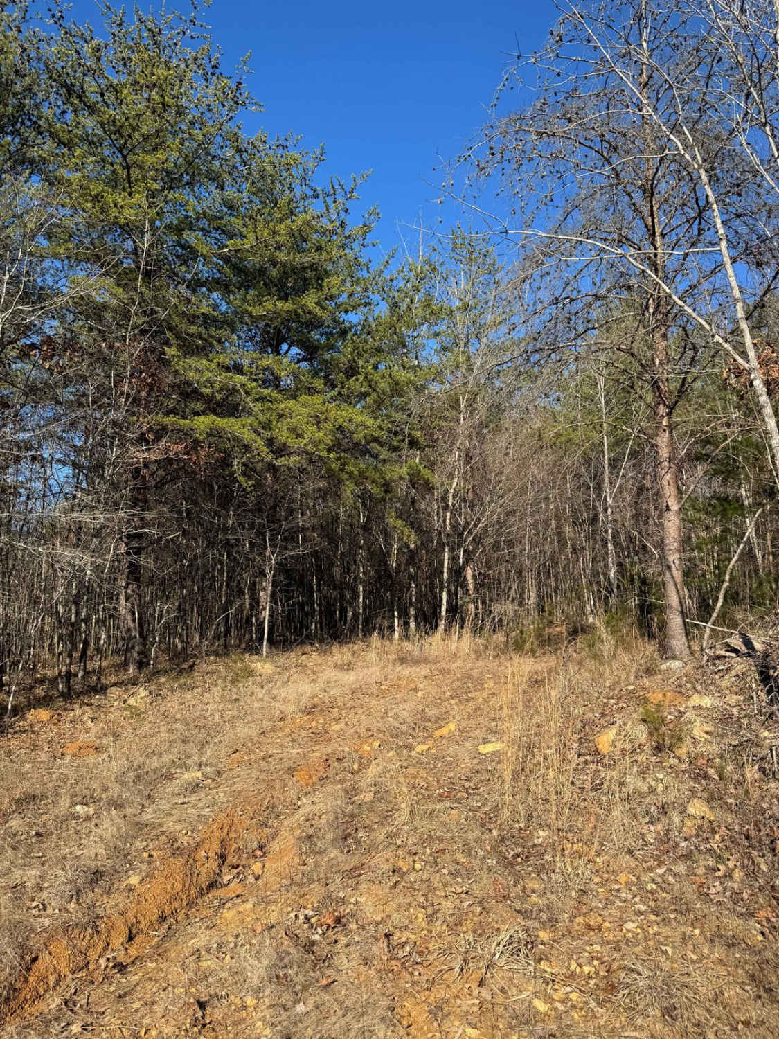
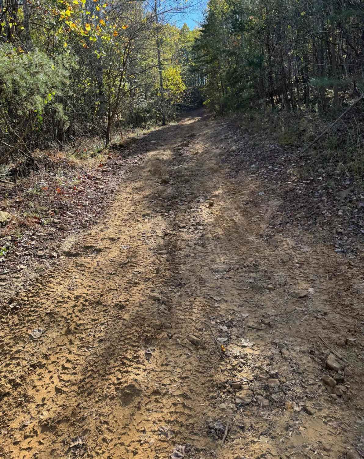
Off-Road Trails in Alabama
Discover off-road trails in Alabama

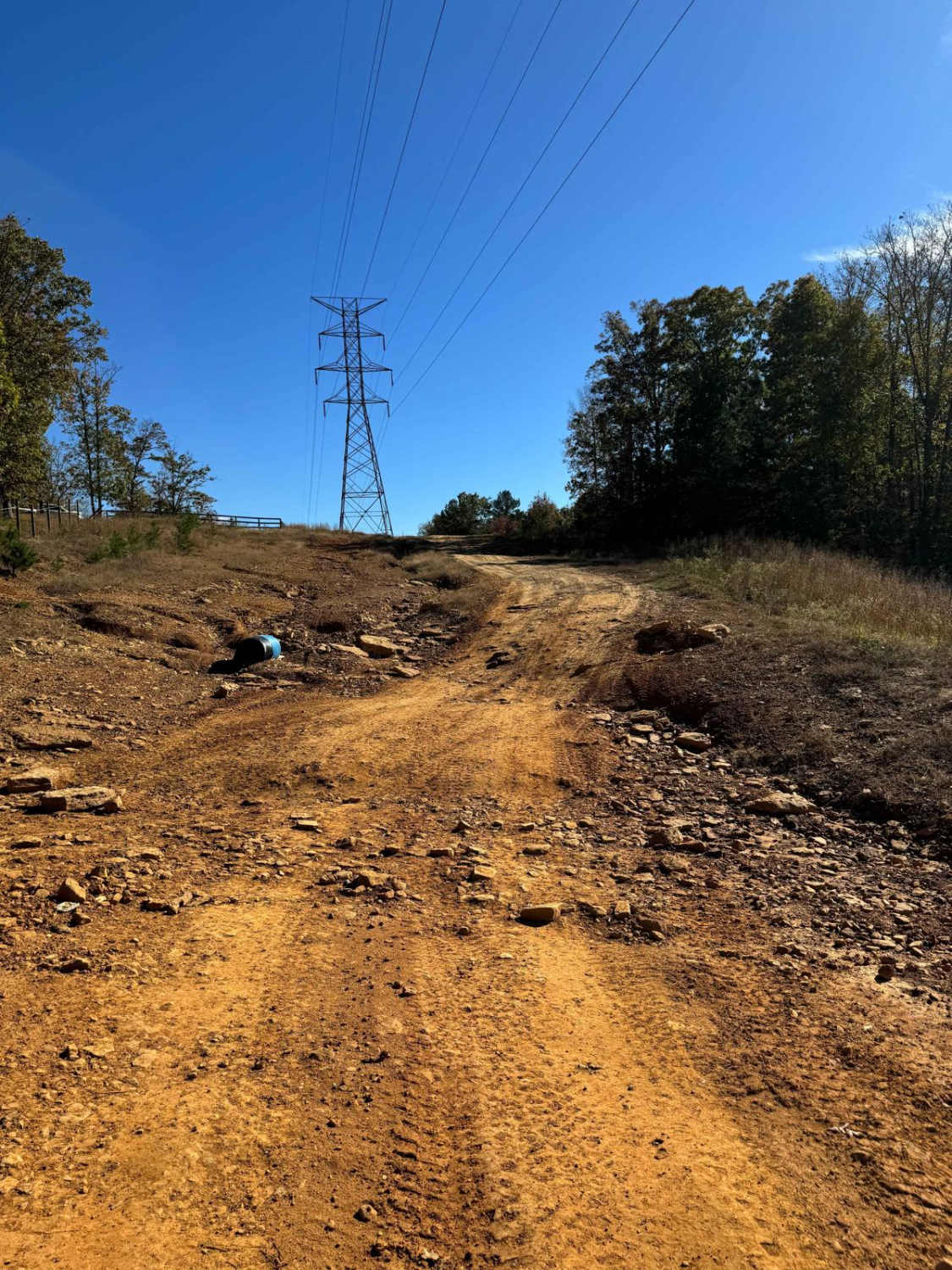
Learn more about #5 Ghost Rider
#5 Ghost Rider
Total Miles
0.1
Tech Rating
Difficult
Best Time
Summer, Fall

Learn more about #51 The Passageway
#51 The Passageway
Total Miles
0.0
Tech Rating
Moderate
Best Time
Summer, Fall
Learn more about #52 Chicken Trail
#52 Chicken Trail
Total Miles
0.0
Tech Rating
Moderate
Best Time
Summer, Fall


Learn more about #56 Ol' No. 21
#56 Ol' No. 21
Total Miles
0.1
Tech Rating
Difficult
Best Time
Fall, Spring


Learn more about #68 Valley View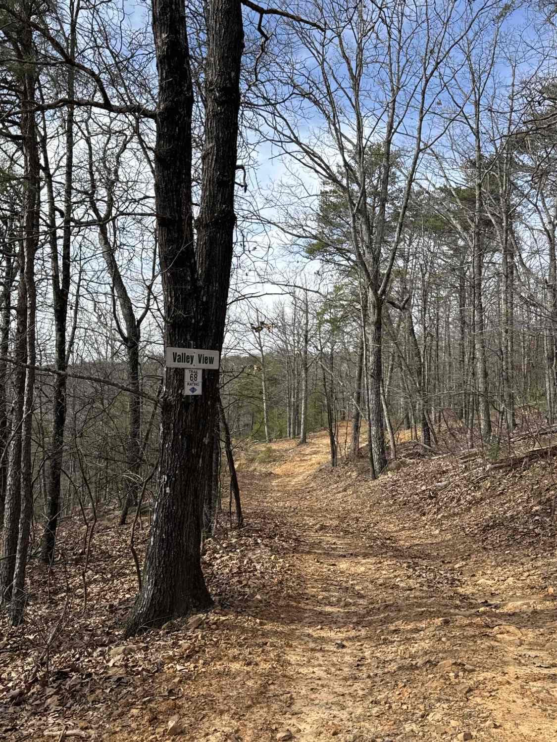
#68 Valley View
Total Miles
0.4
Tech Rating
Moderate
Best Time
Fall, Spring
Learn more about #7 Diamondback - Beginning Section
#7 Diamondback - Beginning Section
Total Miles
0.2
Tech Rating
Moderate
Best Time
Spring, Fall
Learn more about #71 Thompson Trail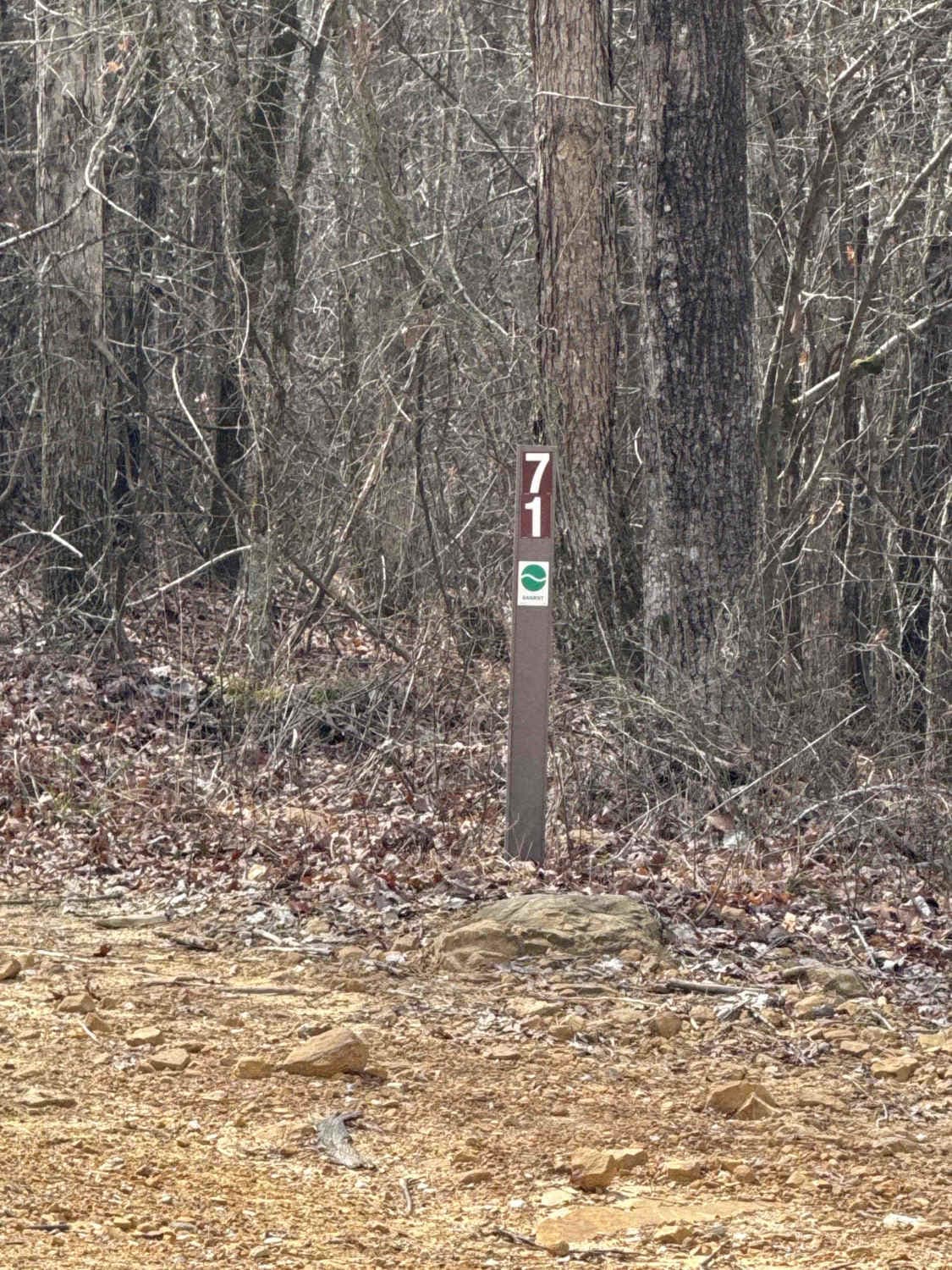
#71 Thompson Trail
Total Miles
0.4
Tech Rating
Moderate
Best Time
Spring, Fall
Learn more about #72 Mall of America
#72 Mall of America
Total Miles
0.4
Tech Rating
Easy
Best Time
Spring, Fall
ATV trails in Alabama
Learn more about #100 Whiskey Run
#100 Whiskey Run
Total Miles
0.4
Tech Rating
Difficult
Best Time
Spring, Summer, Fall, Winter
Learn more about #101 Lower Ridge Line
#101 Lower Ridge Line
Total Miles
0.4
Tech Rating
Easy
Best Time
Fall, Summer
Learn more about #102 Jake's Hill
#102 Jake's Hill
Total Miles
0.1
Tech Rating
Extreme
Best Time
Summer, Fall
UTV/side-by-side trails in Alabama
Learn more about #100 Whiskey Run
#100 Whiskey Run
Total Miles
0.4
Tech Rating
Difficult
Best Time
Spring, Summer, Fall, Winter
Learn more about #101 Lower Ridge Line
#101 Lower Ridge Line
Total Miles
0.4
Tech Rating
Easy
Best Time
Fall, Summer
Learn more about #102 Jake's Hill
#102 Jake's Hill
Total Miles
0.1
Tech Rating
Extreme
Best Time
Summer, Fall
The onX Offroad Difference
onX Offroad combines trail photos, descriptions, difficulty ratings, width restrictions, seasonality, and more in a user-friendly interface. Available on all devices, with offline access and full compatibility with CarPlay and Android Auto. Discover what you’re missing today!