Off-Road Trails in Florida
Discover off-road trails in Florida
Learn more about Volusia Trail - ONF 22
Volusia Trail - ONF 22
Total Miles
16.7
Tech Rating
Easy
Best Time
Spring, Fall, Winter
Learn more about Waffen 101-A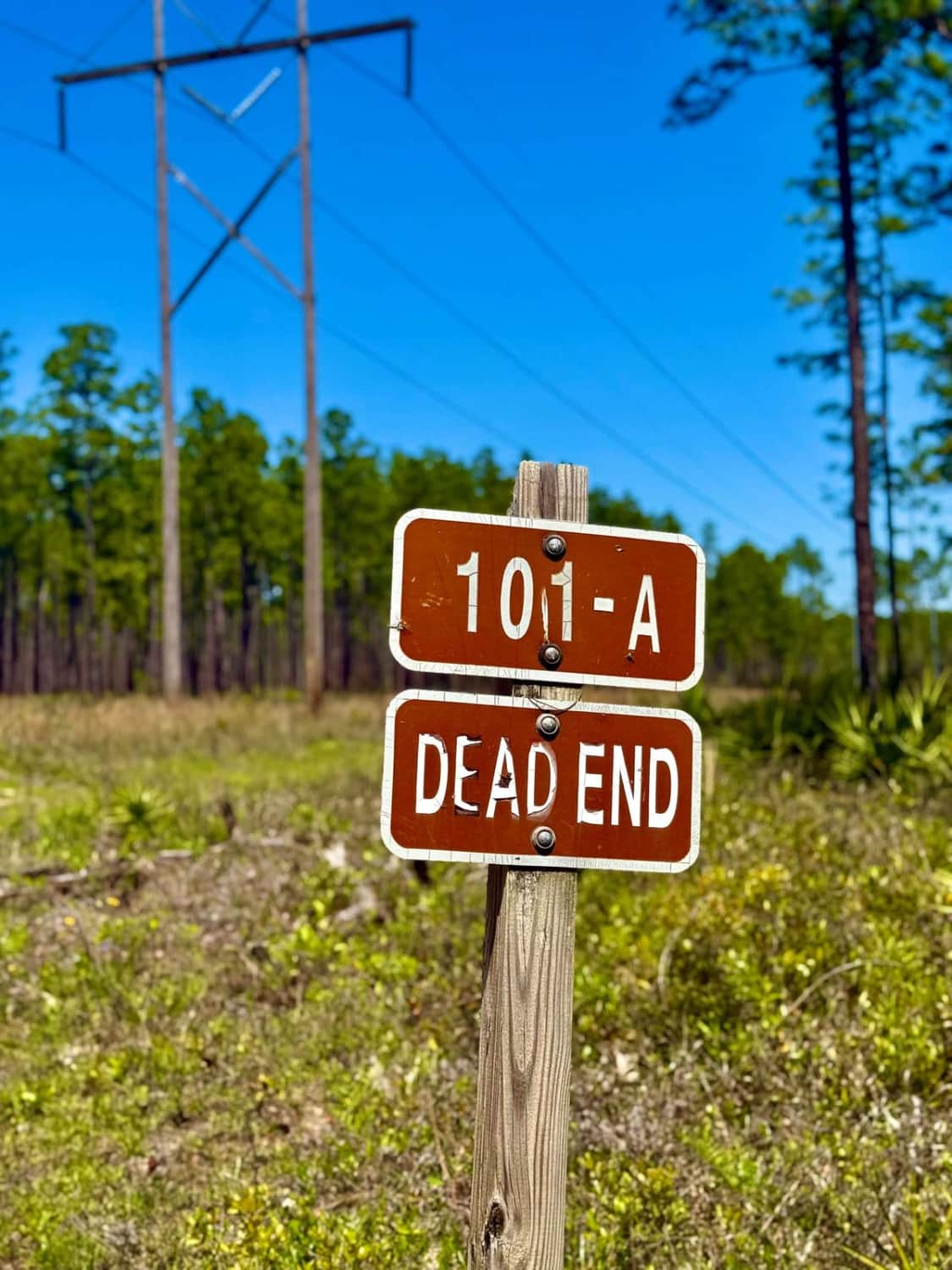
Waffen 101-A
Total Miles
1.4
Tech Rating
Easy
Best Time
Spring, Summer, Fall, Winter
Learn more about Wagon Wheel Road - CR 837
Wagon Wheel Road - CR 837
Total Miles
7.6
Tech Rating
Easy
Best Time
Spring, Fall, Winter
Learn more about Wakulla Beach
Wakulla Beach
Total Miles
3.9
Tech Rating
Easy
Best Time
Winter, Fall, Spring
Learn more about Wandering Wiregrass - ONF 10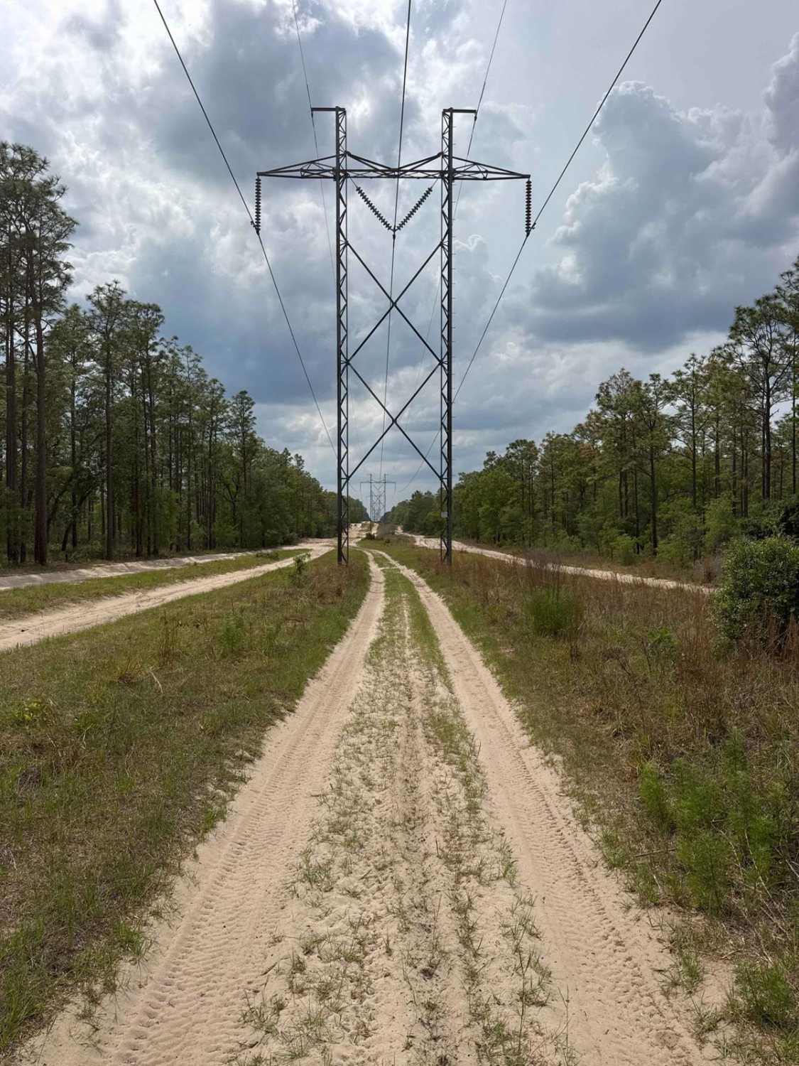
Wandering Wiregrass - ONF 10
Total Miles
3.4
Tech Rating
Moderate
Best Time
Winter, Fall, Spring
Learn more about Warbler Loop North
Warbler Loop North
Total Miles
3.9
Tech Rating
Best Time
Spring, Fall, Winter
Learn more about Warbler Loop South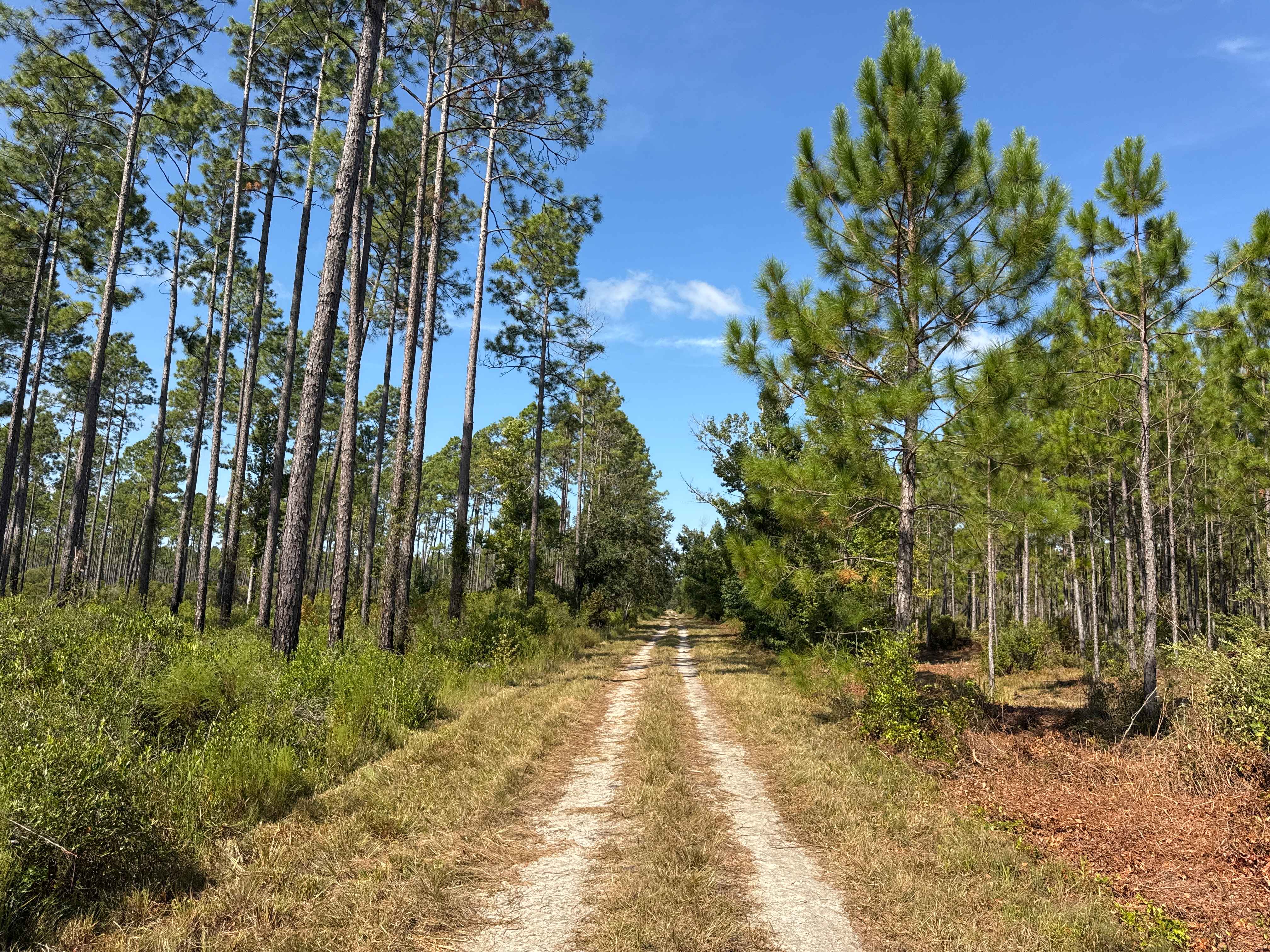
Warbler Loop South
Total Miles
5.2
Tech Rating
Best Time
Spring, Fall, Winter
Learn more about Warren Bluff Road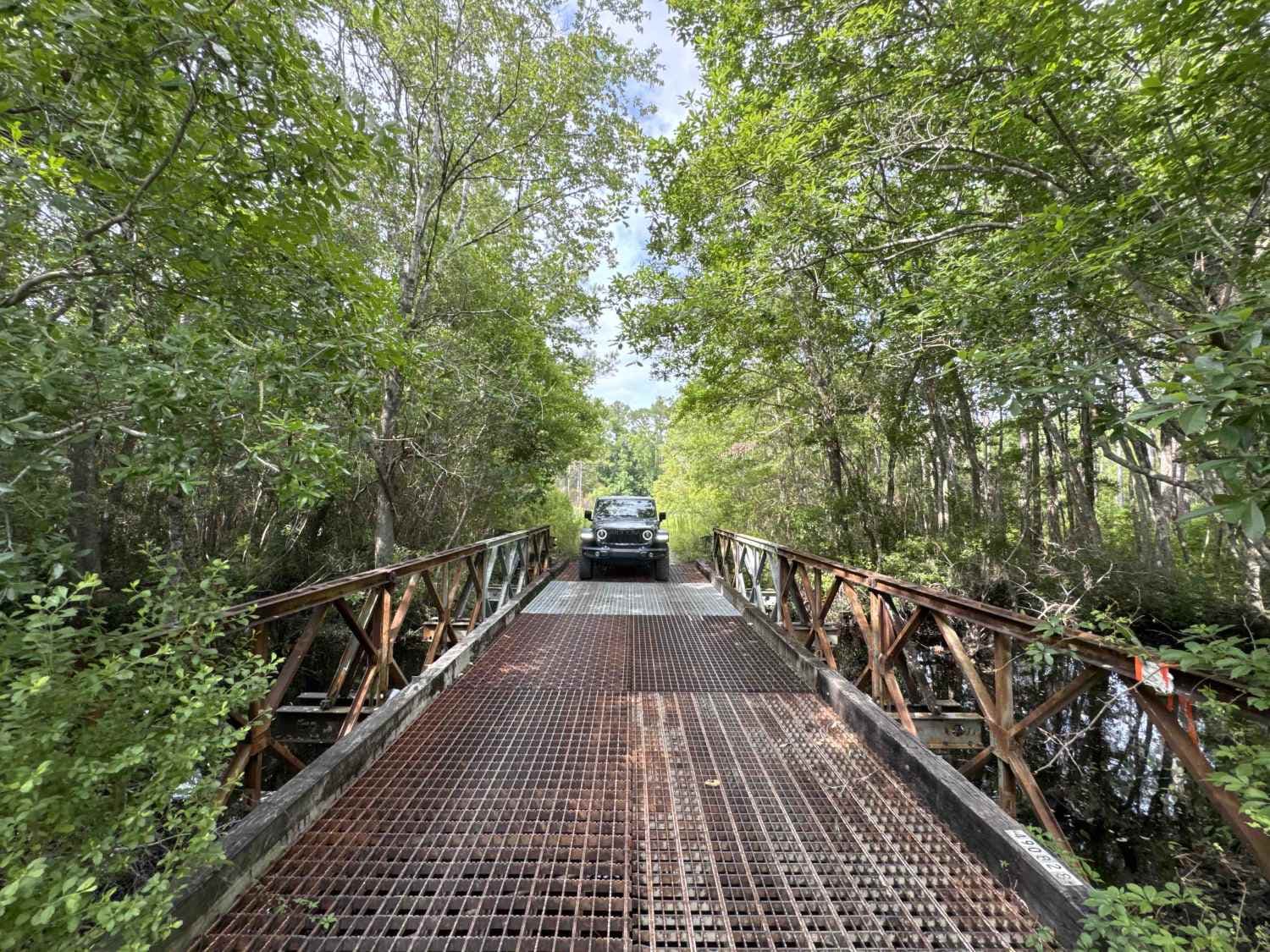
Warren Bluff Road
Total Miles
8.3
Tech Rating
Easy
Best Time
Spring, Fall, Winter
Learn more about Water Town - Osceola NF 278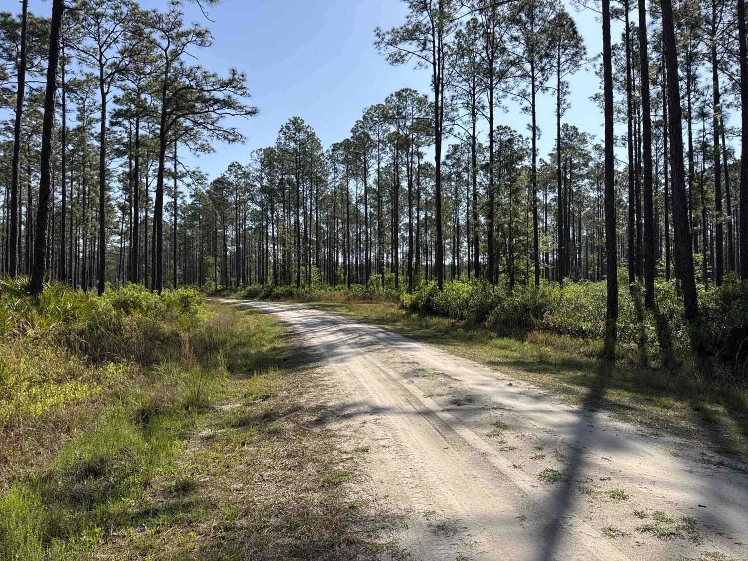
Water Town - Osceola NF 278
Total Miles
5.8
Tech Rating
Easy
Best Time
Winter, Fall, Spring
Learn more about Welland & Roach Road
Welland & Roach Road
Total Miles
2.0
Tech Rating
Easy
Best Time
Winter, Fall, Spring
Learn more about West Boundary North Section
West Boundary North Section
Total Miles
1.6
Tech Rating
Easy
Best Time
Spring, Summer, Fall, Winter
Learn more about West Boundary Road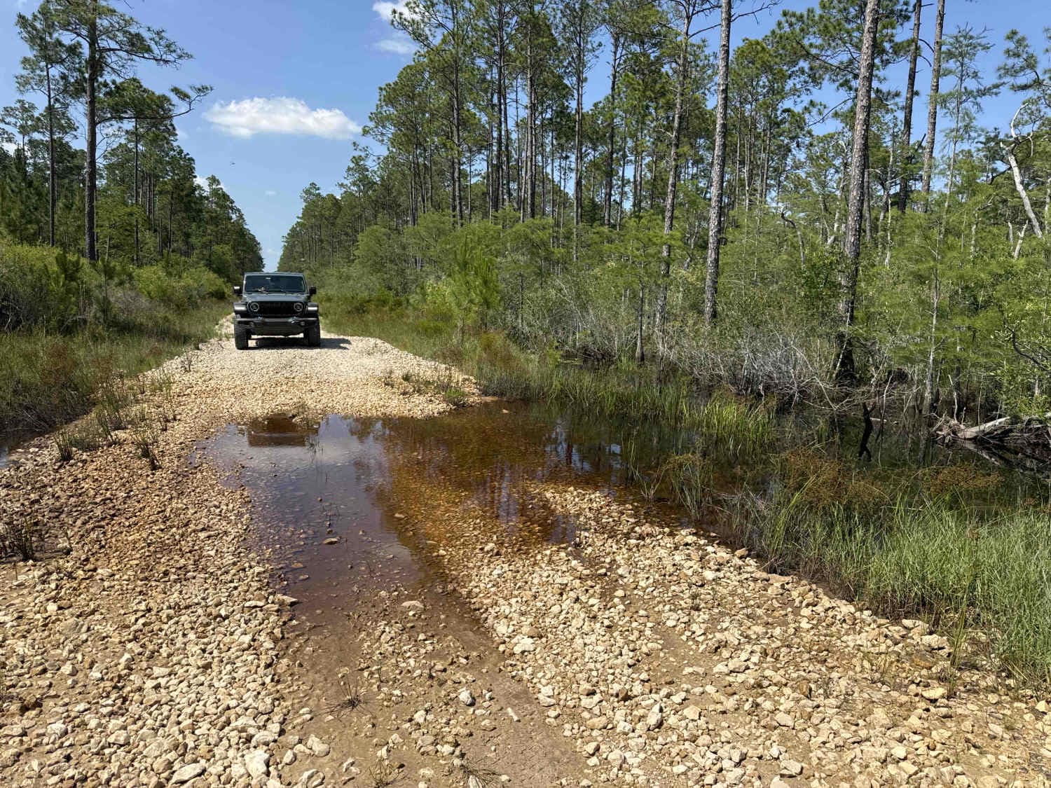
West Boundary Road
Total Miles
8.9
Tech Rating
Easy
Best Time
Spring, Fall, Winter
Learn more about West Cross Br Bay - ONF 21
West Cross Br Bay - ONF 21
Total Miles
2.3
Tech Rating
Easy
Best Time
Winter, Fall, Spring
Learn more about West Double Bridge Road
West Double Bridge Road
Total Miles
11.7
Tech Rating
Easy
Best Time
Winter, Fall, Spring
Learn more about West River Road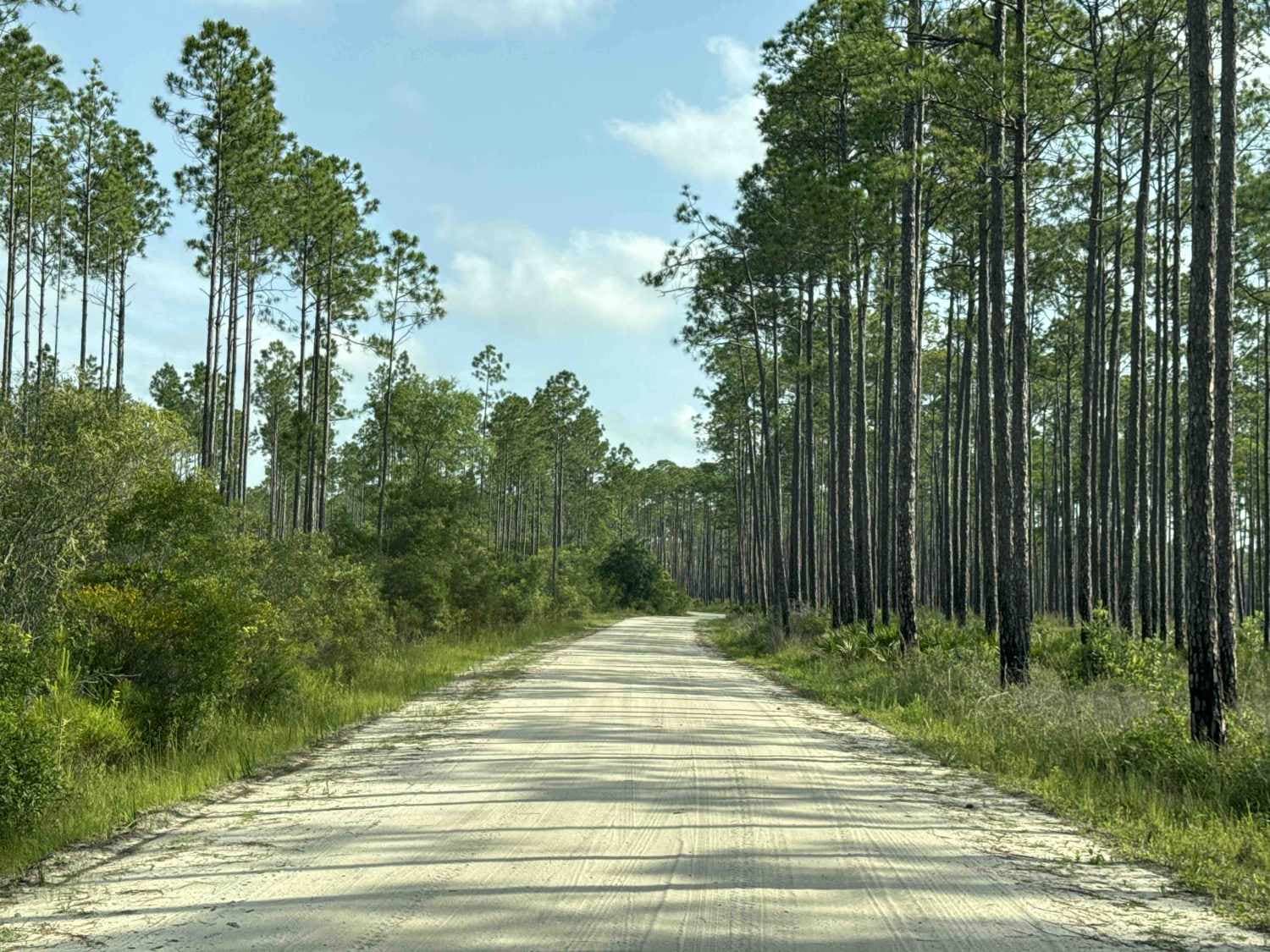
West River Road
Total Miles
6.7
Tech Rating
Easy
Best Time
Spring, Fall, Winter
Learn more about West Sabal Palm Road
West Sabal Palm Road
Total Miles
2.8
Tech Rating
Easy
Best Time
Spring, Fall, Winter
Learn more about Whiskey George Road
Whiskey George Road
Total Miles
8.1
Tech Rating
Easy
Best Time
Winter, Fall, Spring
Learn more about Whitehead Lake Road 186-C
Whitehead Lake Road 186-C
Total Miles
1.4
Tech Rating
Easy
Best Time
Spring, Summer, Fall, Winter
Learn more about Whites Trail 373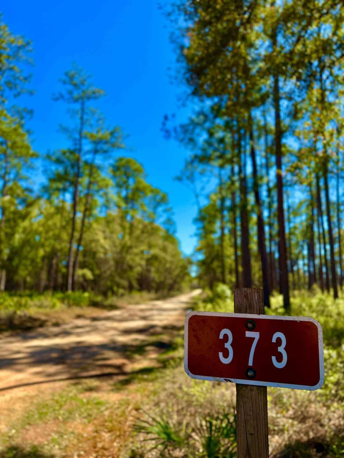
Whites Trail 373
Total Miles
2.8
Tech Rating
Easy
Best Time
Summer, Fall, Winter, Spring
ATV trails in Florida
Learn more about 267 - Otter Camp (344)
267 - Otter Camp (344)
Total Miles
7.0
Tech Rating
Easy
Best Time
Summer, Fall, Winter, Spring
Learn more about 305 North Pasture 
305 North Pasture
Total Miles
7.1
Tech Rating
Easy
Best Time
Spring, Summer, Fall, Winter
Learn more about 40 Acre Lake
40 Acre Lake
Total Miles
1.4
Tech Rating
Difficult
Best Time
Spring, Summer, Fall, Winter
Learn more about 5 Mile Road Winter Garden - Clermont
5 Mile Road Winter Garden - Clermont
Total Miles
6.5
Tech Rating
Easy
Best Time
Spring, Summer, Fall, Winter
UTV/side-by-side trails in Florida
Learn more about 267 - Otter Camp (344)
267 - Otter Camp (344)
Total Miles
7.0
Tech Rating
Easy
Best Time
Summer, Fall, Winter, Spring
Learn more about 305 North Pasture
305 North Pasture
Total Miles
7.1
Tech Rating
Easy
Best Time
Spring, Summer, Fall, Winter
Learn more about 40 Acre Lake
40 Acre Lake
Total Miles
1.4
Tech Rating
Difficult
Best Time
Spring, Summer, Fall, Winter
Learn more about 5 Mile Road Winter Garden - Clermont
5 Mile Road Winter Garden - Clermont
Total Miles
6.5
Tech Rating
Easy
Best Time
Spring, Summer, Fall, Winter
The onX Offroad Difference
onX Offroad combines trail photos, descriptions, difficulty ratings, width restrictions, seasonality, and more in a user-friendly interface. Available on all devices, with offline access and full compatibility with CarPlay and Android Auto. Discover what you’re missing today!