Wakulla Beach
Total Miles
3.9
Technical Rating
Best Time
Winter, Fall, Spring
Trail Type
Full-Width Road
Accessible By
Trail Overview
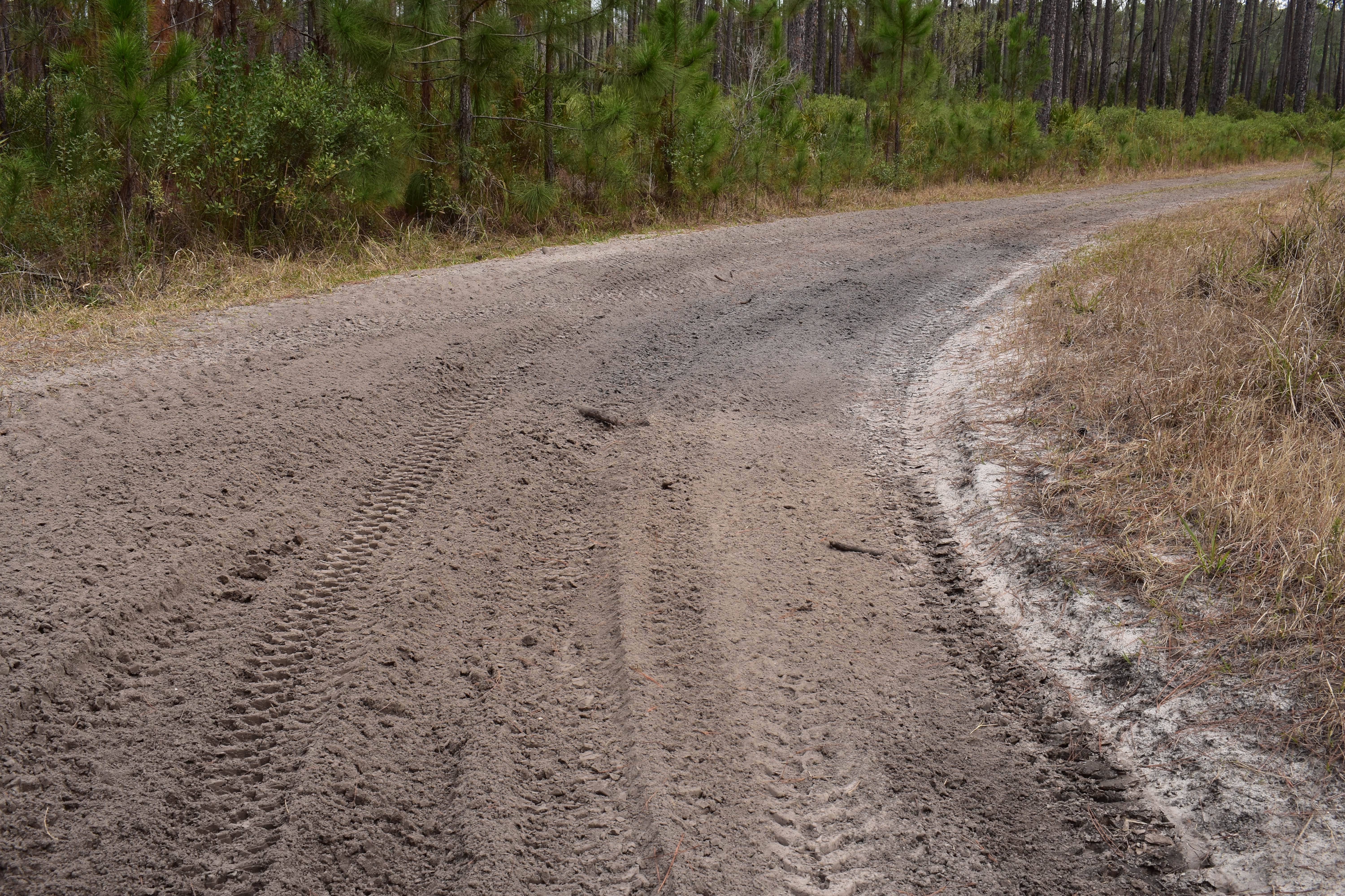
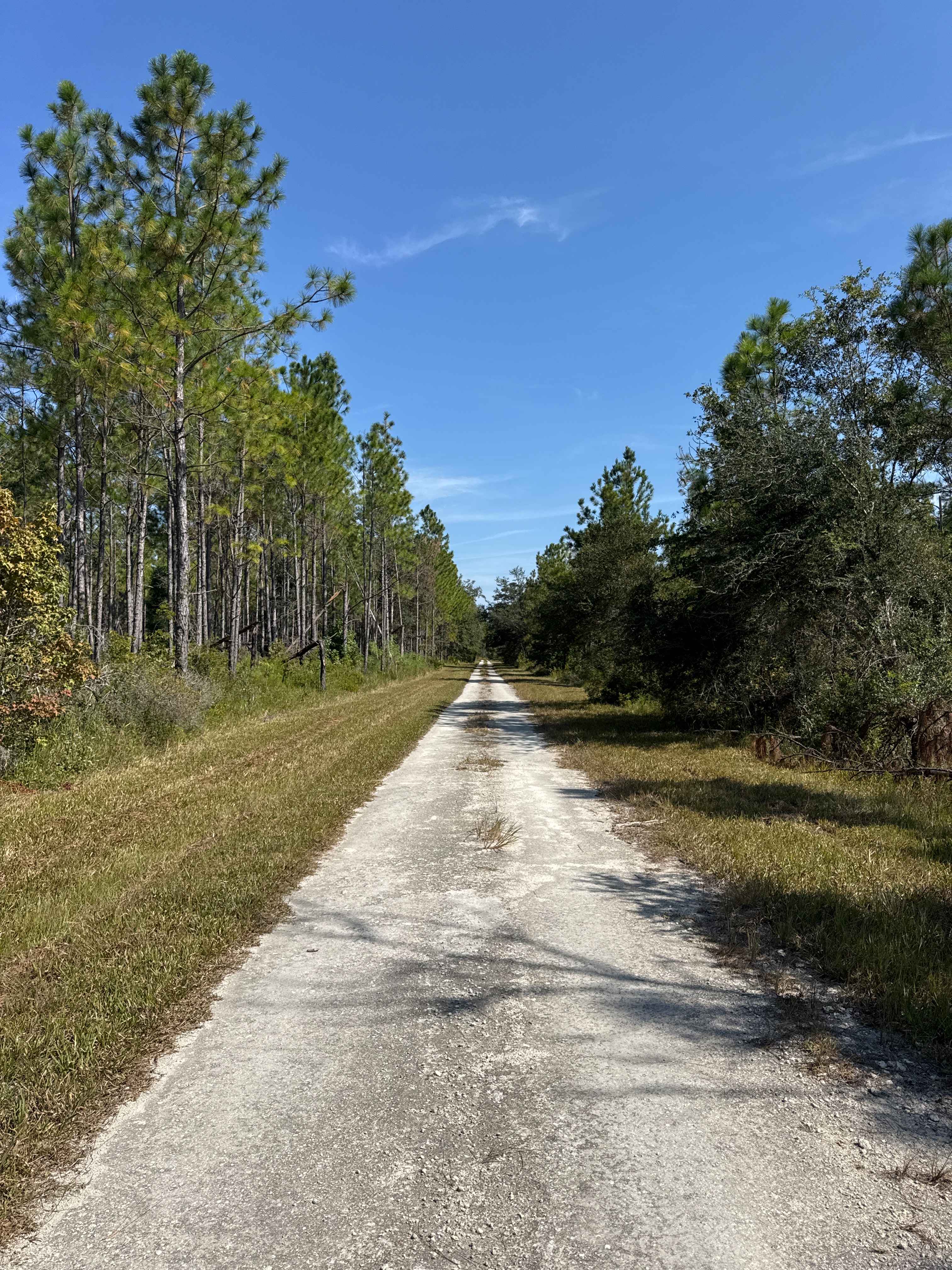
The Wakulla Beach Road takes you through the western part of the St. Marks National Wildlife Refuge and gives you access to the Wakulla Beach, part of the Goose Creek Bay. The road conditions are a mixture of packed sand, loose sand, some deep holes, and ditches that can turn into 2-foot deep mud holes after rainy days. The road is not always wide enough for two vehicles to pass. 4WD and high clearance are recommended. All vehicles must be street legal. St. Marks National Wildlife Refuge is located in the eastern part of Florida's panhandle. The area provides numerous recreation opportunities to thousands of visitors every year. People enjoy viewing the unique geology and diverse wildlife. Regulation of recreation activities allows for public enjoyment of the refuge while still protecting the wildlife and habitats.
Photos of Wakulla Beach


Difficulty
This is an easy road unless ridden after heavy rain.
History
The St. Marks National Wildlife Refuge was established in 1931 to provide winter habitat for migratory birds, and is one of the oldest refuges in the National Wildlife Refuge System. It encompasses over 86,000 acres in Wakulla, Jefferson and Taylor counties, and includes about 43 miles of north Florida's Gulf coast. Congress has designated 17,350 acres of the Refuge a National Wilderness Area.
Status Reports
Wakulla Beach can be accessed by the following ride types:
- High-Clearance 4x4
- SUV
- SxS (60")
- ATV (50")
- Dirt Bike
Wakulla Beach Map
Popular Trails
Rattlesnake Road

Janes Memorial Scenic Drive
North Ormond Beach
The onX Offroad Difference
onX Offroad combines trail photos, descriptions, difficulty ratings, width restrictions, seasonality, and more in a user-friendly interface. Available on all devices, with offline access and full compatibility with CarPlay and Android Auto. Discover what you’re missing today!