Ruta El Arco
Total Kilometers
65.9
Technical Rating
Best Time
Spring, Summer, Fall, Winter
Trail Type
Full-Width Road
Accessible By
Trail Overview
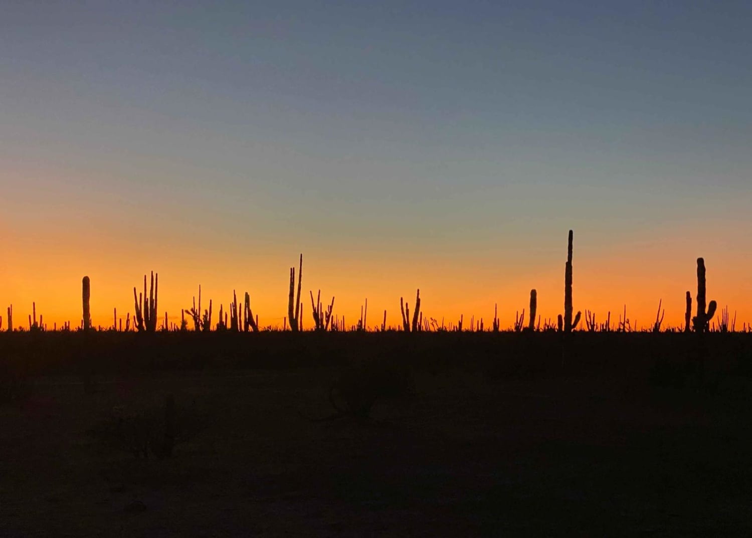
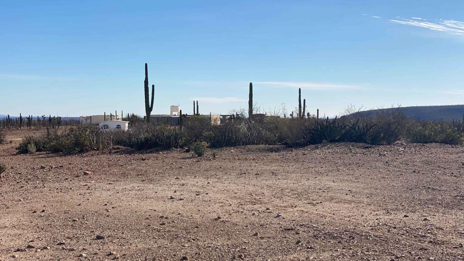
This 41-mile off-road route begins at Highway 1 and ends in the historic mining town of El Arco, offering a diverse sampling of Baja's desert terrain. The journey starts on a well-maintained road passing through several ranches, with little in the way of scenic interest beyond wide, dusty desert expanses. As the route progresses, the road narrows and becomes sandier, with vegetation gradually transitioning from sparse to medium-sized desert flora. Midway through, the landscape becomes more engaging, with larger but not overly dense vegetation and occasional dips into sandy arroyos that add a mild challenge. The final ten miles are the most striking, featuring pristine, flat campsites surrounded by towering cardon cacti and increasingly lush desert vegetation. As you approach El Arco, the trail shifts to a chunkier, rockier surface, marking the descent into this intriguing and remote destination.
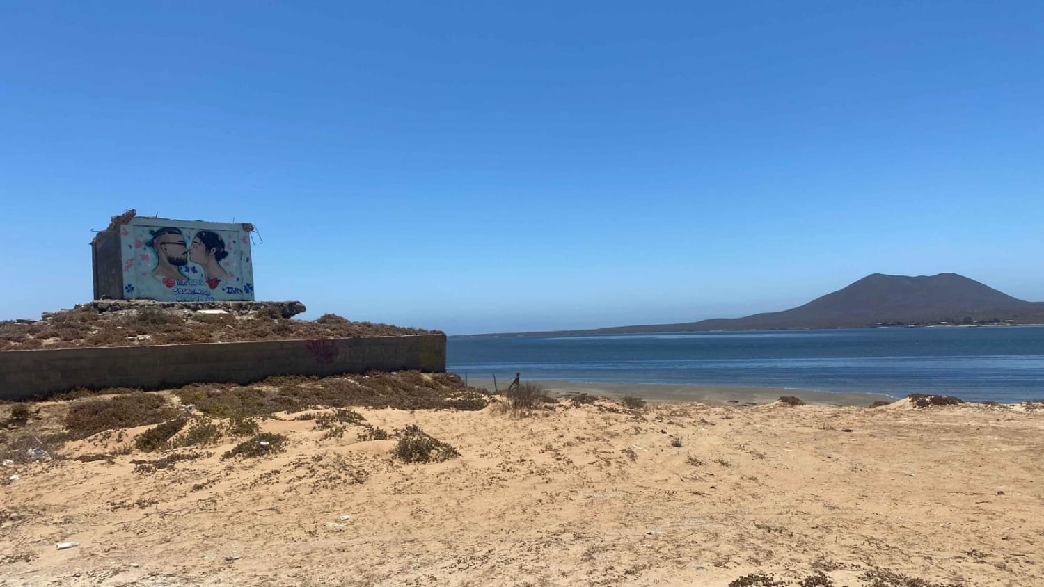
Photos of Ruta El Arco
Difficulty
There is one arroyo that presents a challenge with a slight uphill and 5-6" of sand depth. Other than this section there would be no potential need for 4WD during dry conditions.
Status Reports
Ruta El Arco can be accessed by the following ride types:
- High-Clearance 4x4
- SUV
- SxS (60")
- ATV (50")
- Dirt Bike
Ruta El Arco Map
Popular Trails
Bahia San Quintin

North of San Felipe

San Fernando Race Route

Rancho El Coyote Road
The onX Offroad Difference
onX Offroad combines trail photos, descriptions, difficulty ratings, width restrictions, seasonality, and more in a user-friendly interface. Available on all devices, with offline access and full compatibility with CarPlay and Android Auto. Discover what you’re missing today!