Southeast Low Road
Total Kilometers
11.6
Technical Rating
Best Time
Summer, Fall
Trail Type
Full-Width Road
Accessible By
Trail Overview
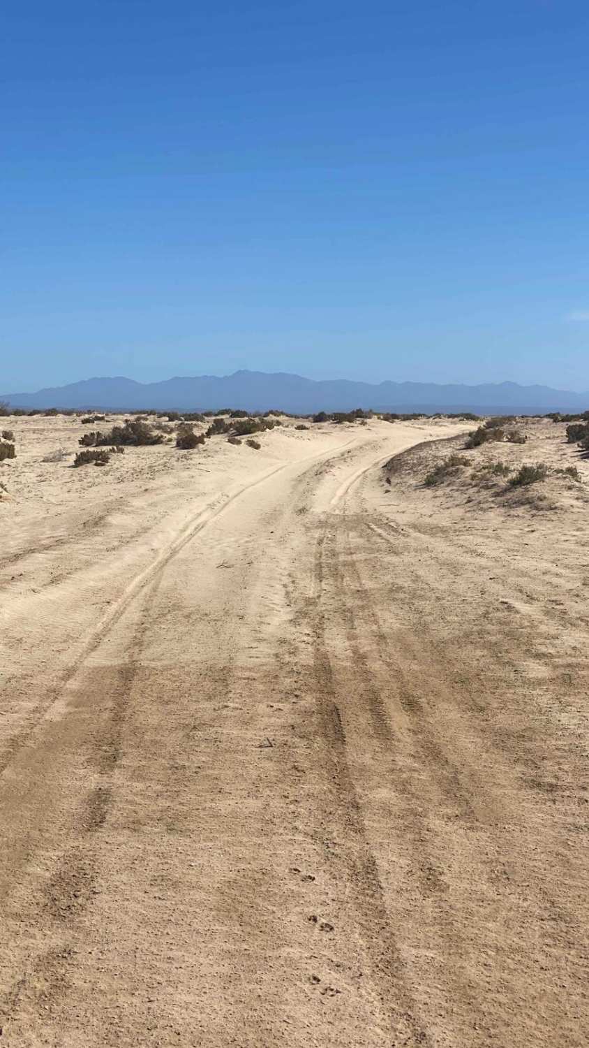
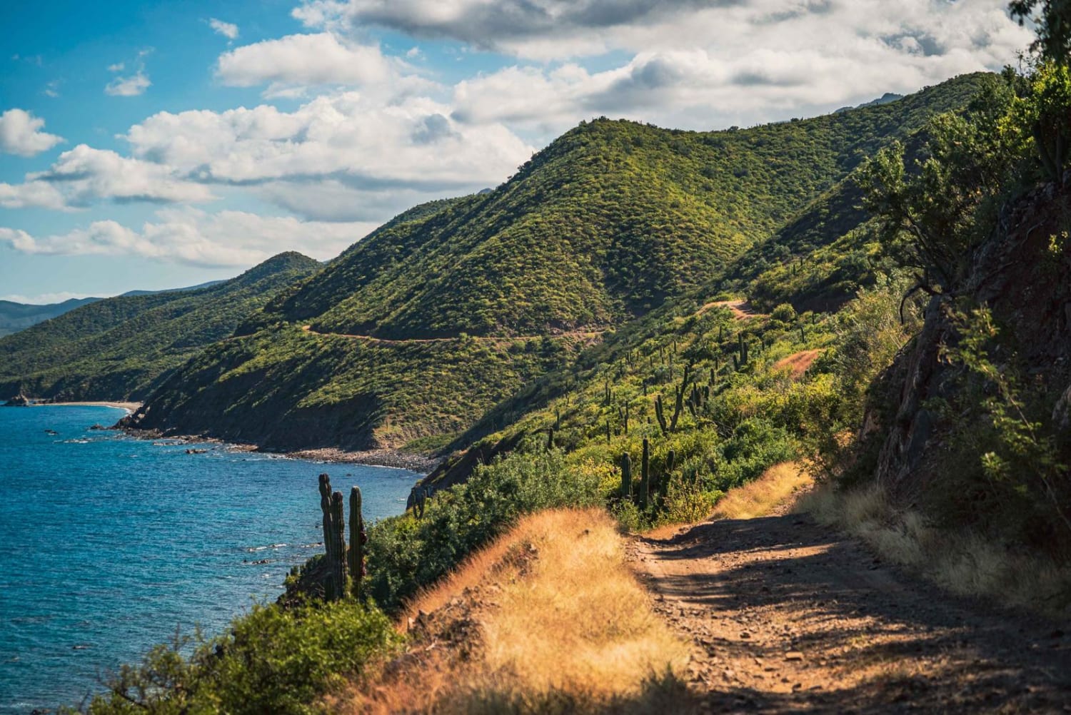
This off-road route begins along the edge of expansive salt flats, transitioning into soft terrain interspersed with dry lake beds and lightly sanded sections. Even during the driest seasons, certain areas feature deep ruts that demand caution, particularly for heavier vehicles. It's advisable to walk these sections beforehand to ensure safe traversal. As the trail veers left, the ground becomes firmer, leading into the striking El Cordon forest, characterized by dense desert vegetation. This scenic stretch offers smooth driving with only minor undulations, allowing you to fully appreciate the vibrant natural surroundings. The route eventually meets a well-traveled road that provides access to the village of Meliton Albanez Dominguez if you take a right at the intersection, offering a seamless transition to your next destination.
Photos of Southeast Low Road

Difficulty
This trail is designated for 4WD vehicles only, as a few sections feature soft terrain that could easily trap a 2WD vehicle, even in the driest conditions. The most challenging areas are encountered before leaving the salt flats, particularly where the trail dips in and out of the lake beds. These sections can be soft, and in wet conditions, they are likely to become impassable.
Status Reports
Southeast Low Road can be accessed by the following ride types:
- High-Clearance 4x4
- SUV
- SxS (60")
- ATV (50")
- Dirt Bike
Southeast Low Road Map
Popular Trails

Caracara Loop

Mag Bay Loop

Lowlands Route
Sierra La Gata
The onX Offroad Difference
onX Offroad combines trail photos, descriptions, difficulty ratings, width restrictions, seasonality, and more in a user-friendly interface. Available on all devices, with offline access and full compatibility with CarPlay and Android Auto. Discover what you’re missing today!