Lowlands Route
Total Kilometers
23.4
Technical Rating
Best Time
Winter, Fall, Summer, Spring
Trail Type
Full-Width Road
Accessible By
Trail Overview
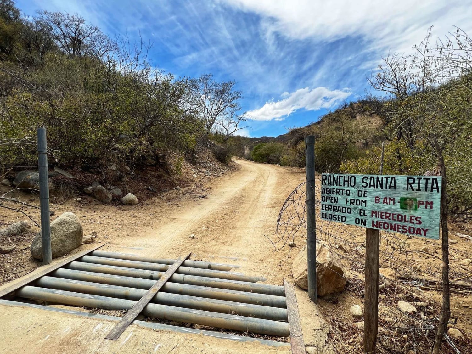
Starting from the highway, this off-road trail takes you through an open cattle guard gate and along a dusty path bordered by a barbed-wire fence marking private land. The initial stretch may feel uninviting, with scattered debris and trash, but this quickly gives way to a classic desert trail framed by sparse vegetation. As you continue, the route narrows, and full-width vehicles may encounter scratches from overgrown mesquite trees. After descending into the lowlands and taking a left turn, the terrain shifts, bringing you through wet and muddy sections influenced by tides. High-clearance vehicles are recommended for this trail, and while 4WD is not required in dry conditions, it is advisable to have it available in case of unexpected challenges. Navigating carefully along the higher paths is crucial, as parts of the trail may become impassable during high tides. The trail concludes at a fishing village known for its blue crab, reminiscent of the East Coast, where you can join the scenic Mag Bay loop, offering stunning views along the shoreline.
Photos of Lowlands Route


Difficulty
In dry conditions, this route is suitable for any high-clearance 2WD vehicle. However, you'll be crossing lowland areas that are regularly affected by daily high tides and can become wet and muddy. It's always wise to have 4WD capabilities and self-recovery equipment on hand. If traveling solo in a 2WD vehicle, exercise extra caution and carefully assess these sections before proceeding.
Status Reports
Lowlands Route can be accessed by the following ride types:
- High-Clearance 4x4
- SUV
- SxS (60")
- ATV (50")
- Dirt Bike
Lowlands Route Map
Popular Trails

La Poza Grande Beach Camp and Exploring

El Centenario Northwest
Santiago/Rancho Santa Rita

La Laguna Beach
The onX Offroad Difference
onX Offroad combines trail photos, descriptions, difficulty ratings, width restrictions, seasonality, and more in a user-friendly interface. Available on all devices, with offline access and full compatibility with CarPlay and Android Auto. Discover what you’re missing today!