Sierra La Gata
Total Kilometers
17.8
Technical Rating
Best Time
Summer, Spring, Fall, Winter
Trail Type
Full-Width Road
Accessible By
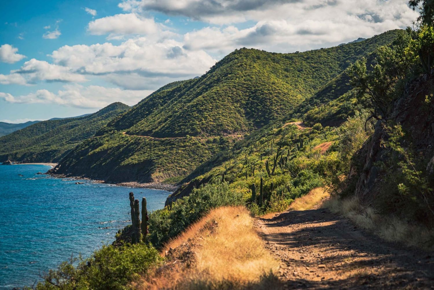
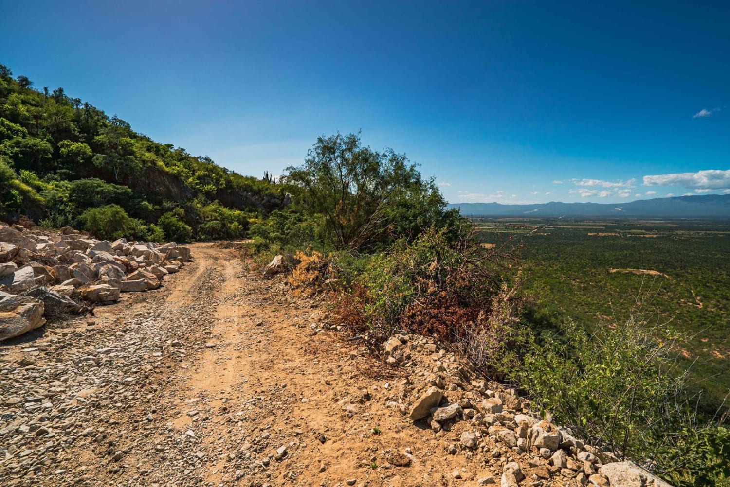
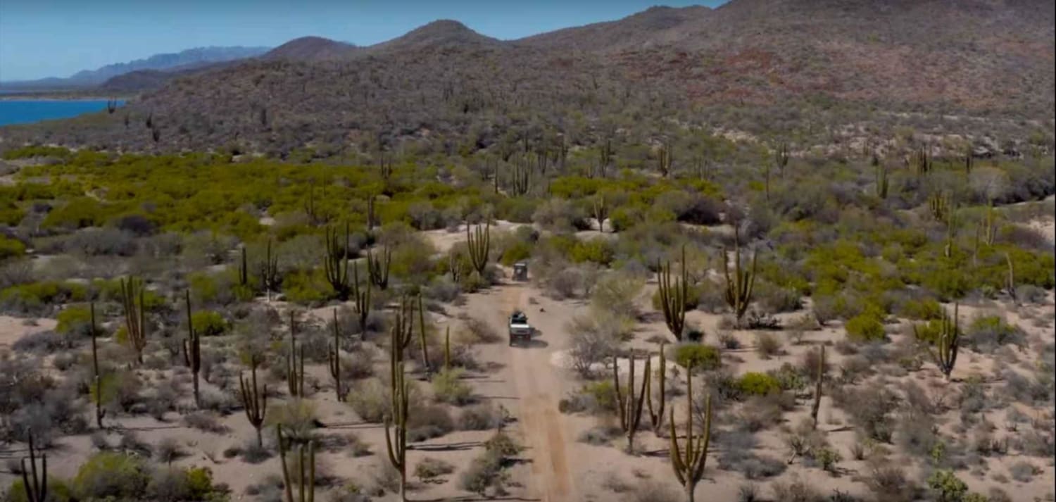
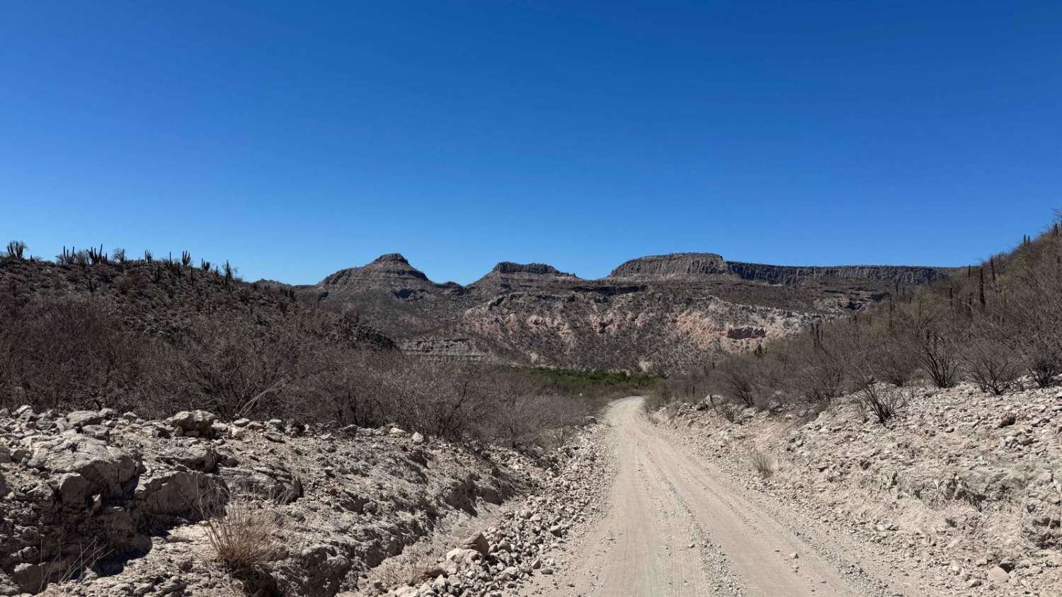
Trail Overview
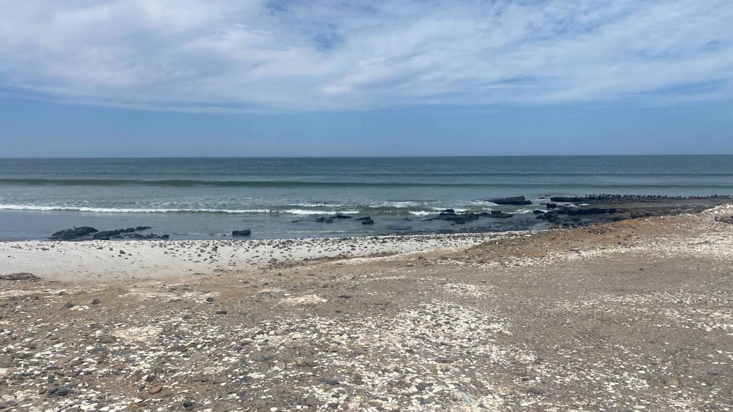
La Sierra La Gata (El Carrizalito) is a trail that crosses from west to east Baja California Sur. It can be accessed via San Juan de Los Planes or Los Barriles. A high clearance vehicle is recommended, 4WD in a few sections of loose/incline sections. This trail can take up to 2hr to 2.5hrs. With an approximate length of 18 km, it's a fun single-track trail to explore with a great diversity of terrain, crossing the mountains with a beautiful view of Los Planes Valley and its beautiful landscapes and ranches. There are a lot of rocks falling from the sidewalls of the Sierra, so go very slowly over the areas that are uphill. During the rainy season, the road can wash out on some sharp bends. When crossing to the east side of the Sierra the Sea of Cortez comes into view, road goes on a shelf road all the way to the Arroyo Boca del Alamo.
Photos of Sierra La Gata
Difficulty
Most of this trail is comprised of dirt and loose rock, with a few sections of unmaintained trail that can vary in conditions.
Status Reports
Sierra La Gata can be accessed by the following ride types:
- High-Clearance 4x4
- SUV
- SxS (60")
- ATV (50")
- Dirt Bike
Sierra La Gata Map
Popular Trails
East Bahia Concepcion Adventure to Playa Punta Santa Domingo
Punta Abreojos to Campo Rene Peninsula

High Road Ejido Meliton
Las Pocitas La Soledad
The onX Offroad Difference
onX Offroad combines trail photos, descriptions, difficulty ratings, width restrictions, seasonality, and more in a user-friendly interface. Available on all devices, with offline access and full compatibility with CarPlay and Android Auto. Discover what you’re missing today!