Tule Divide
Total Miles
14.0
Technical Rating
Best Time
Spring, Summer, Fall, Winter
Trail Type
Full-Width Road
Accessible By
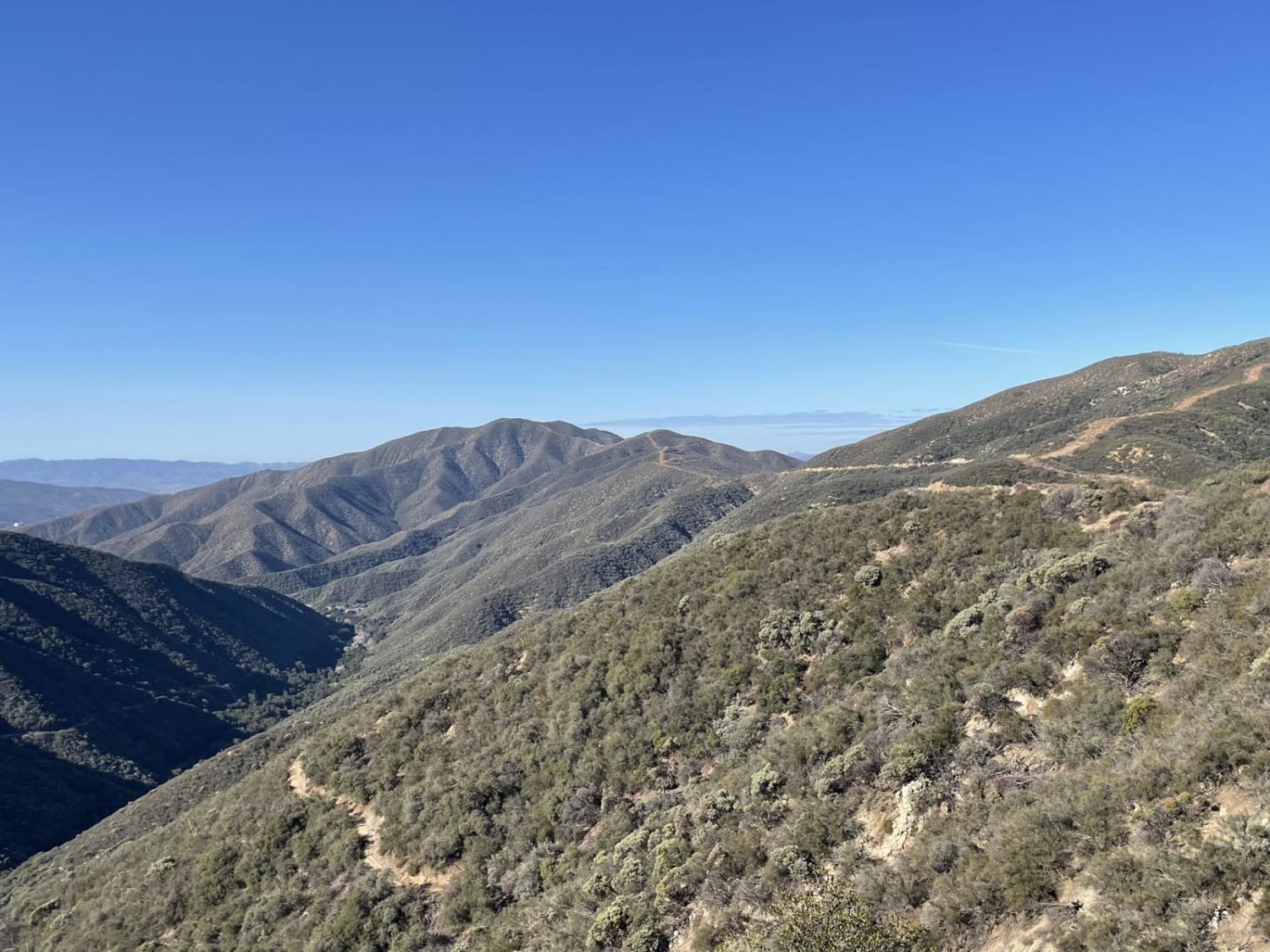
Trail Overview
The Tule Divide is an easy, pretty drive through the Sierra Pelona Range. The trail mostly follows Burns Canyon Road and other forest routes, which can be linked to local trails for more off-road enjoyment and sightseeing. On a clear day, you can see the Tehachapi Pass Wind Farm to the north, Santa Clarita to the south, and the Bouquet Reservoir to the east. Access either end of the trail from San Francisquito Road. If attempting this trail in the winter or late rainy seasons, bring tire chains, as the asphalt on San Francisquito Canyon is subject to icing. High-clearance 2WD and 4WD vehicles are recommended.
Photos of Tule Divide
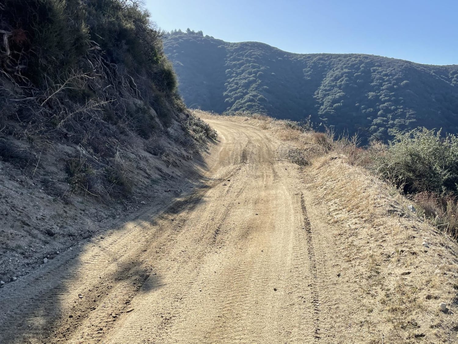
Difficulty
The road is well maintained, but be advised of small ledges and ruts during the rainy season.
History
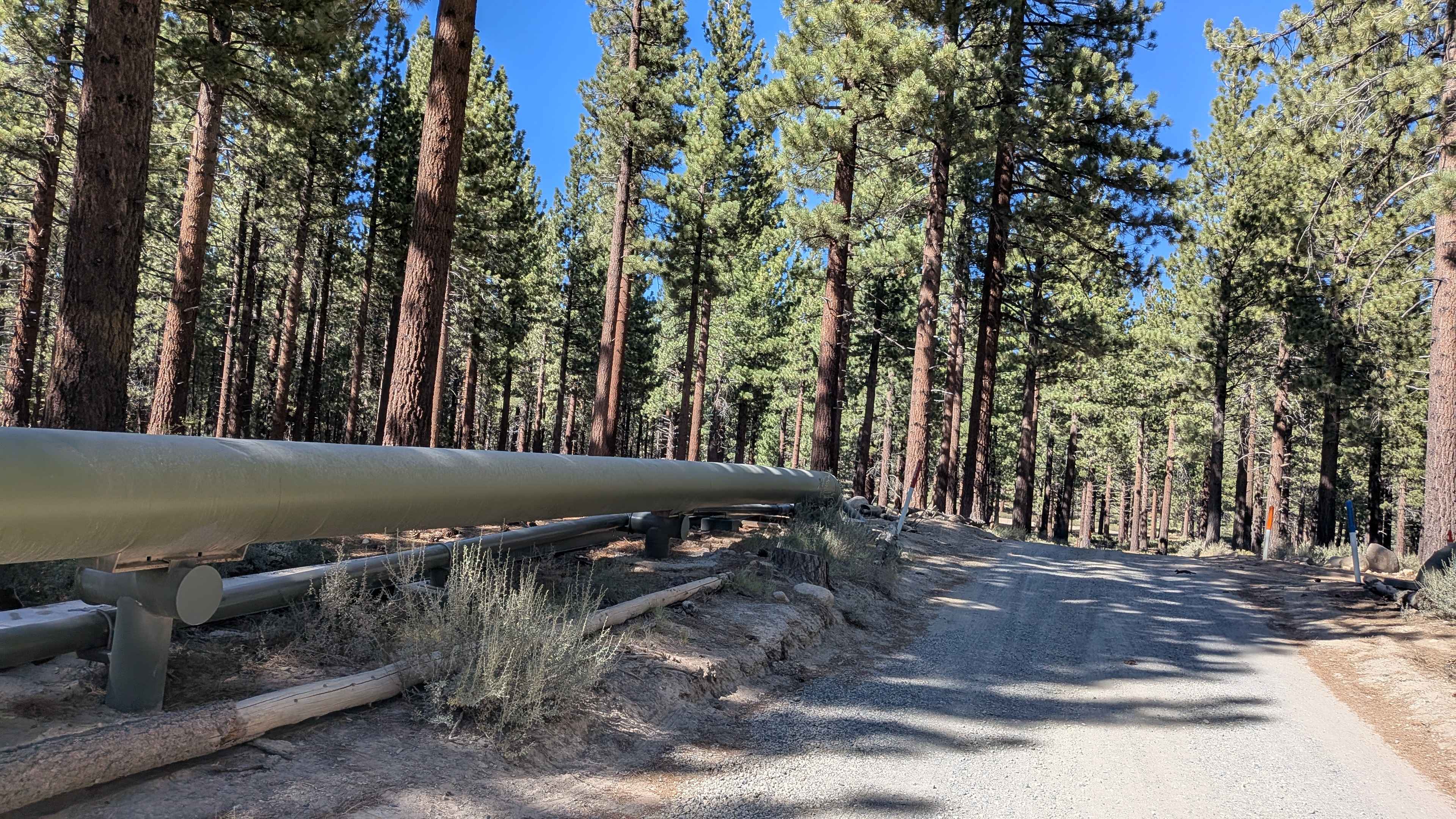
As you approach the southern end of the trail, the Bouquet Reservoir is visible, along with piping for the Los Angeles Aqueduct, which provides a substantial amount of water to the large population in the Los Angeles area. The dam was completed in 1934.
Status Reports
Tule Divide can be accessed by the following ride types:
- High-Clearance 4x4
- SUV
Tule Divide Map
Popular Trails

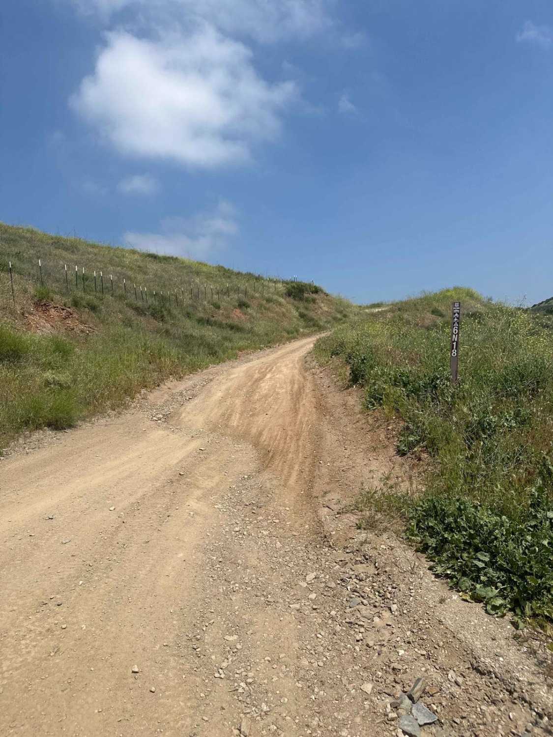
Del Sur Ridge 6N18
Technical Rip Along Trona Road
Sawmill Cutoff FS 3S08
The onX Offroad Difference
onX Offroad combines trail photos, descriptions, difficulty ratings, width restrictions, seasonality, and more in a user-friendly interface. Available on all devices, with offline access and full compatibility with CarPlay and Android Auto. Discover what you’re missing today!