Echo Valley Road
Total Miles
3.5
Technical Rating
Best Time
Spring, Summer, Winter
Trail Type
Full-Width Road
Accessible By
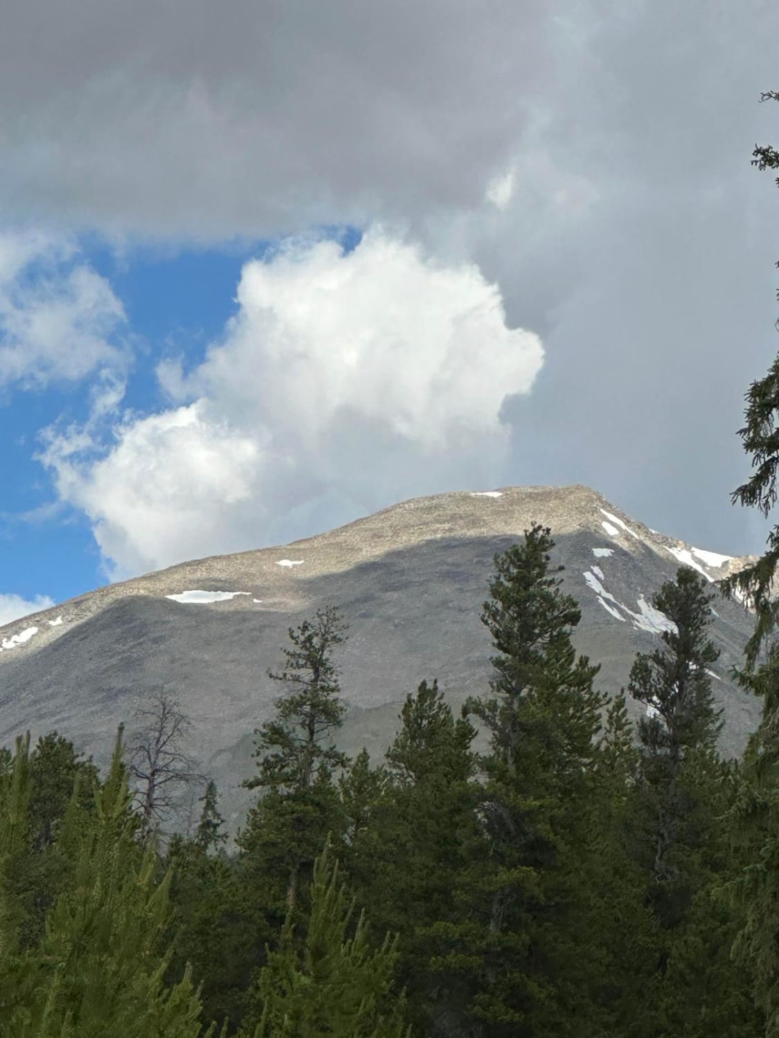
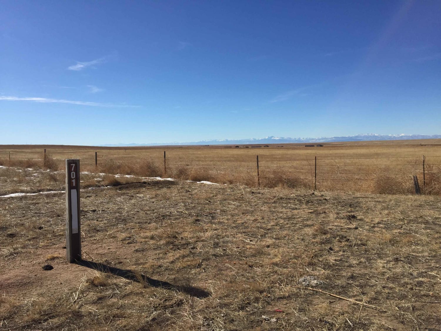
Trail Overview
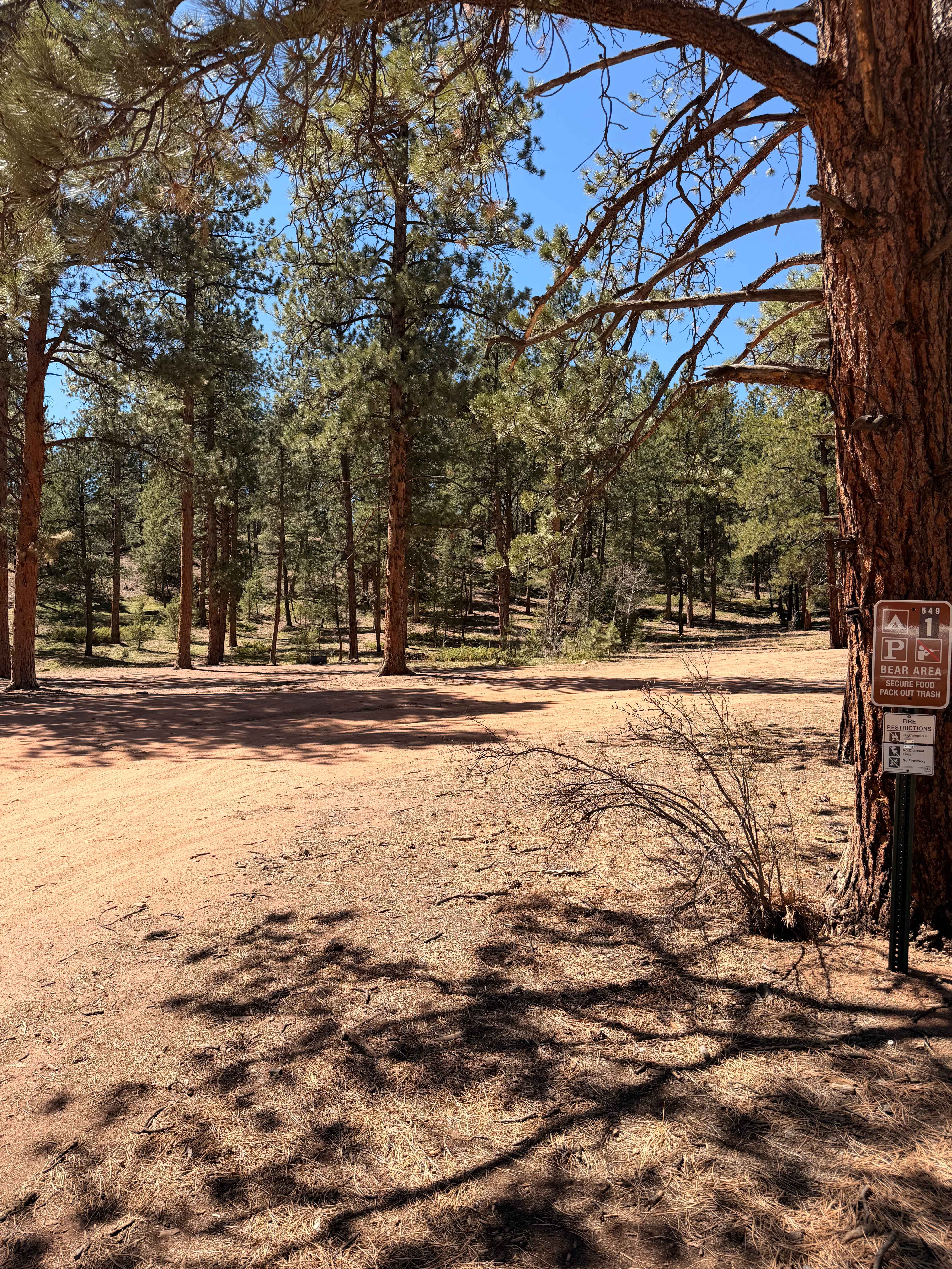
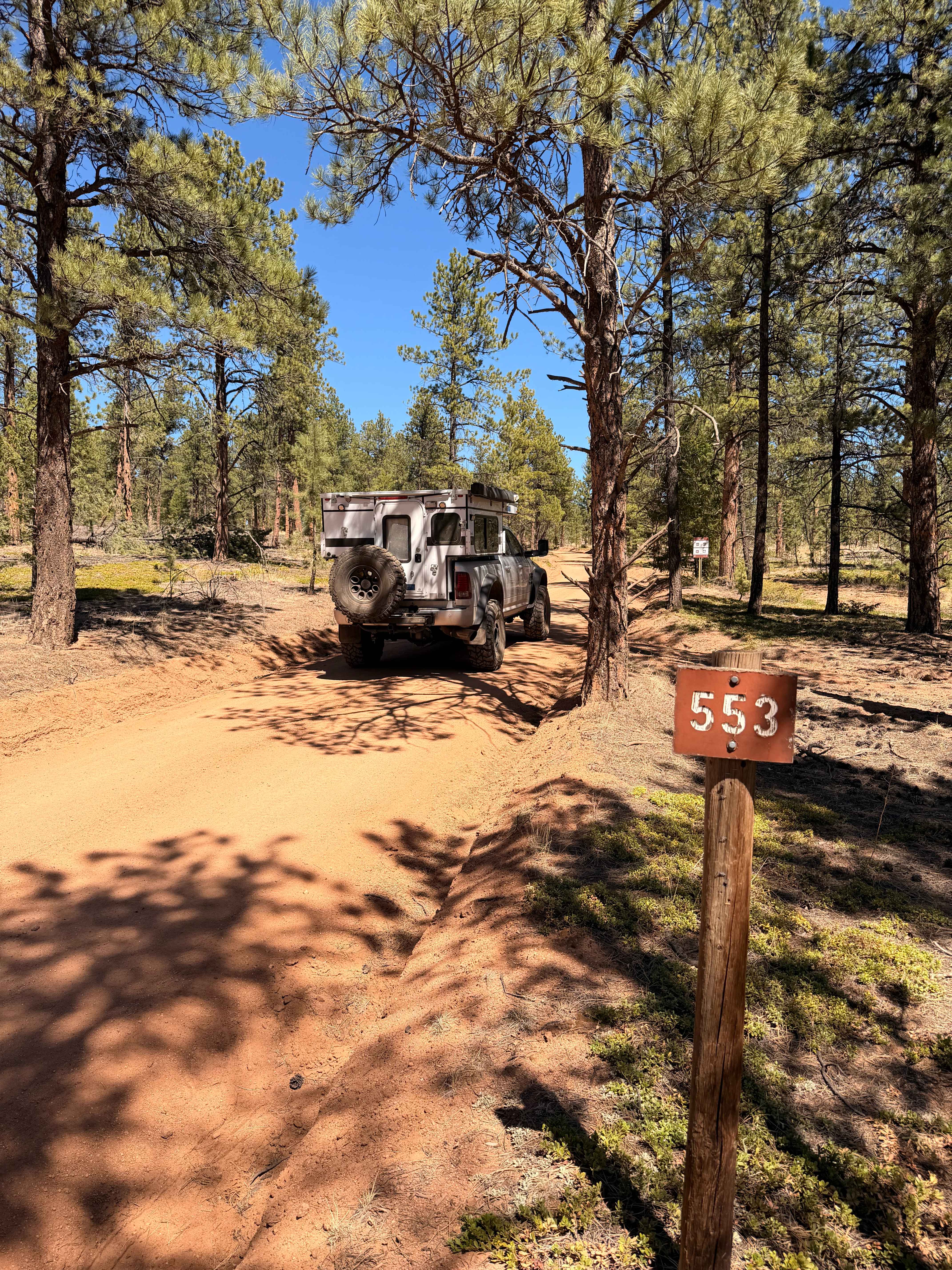
The trail begins at Redskin Road junction. There is one large designated camping area on the left-hand side as you travel north. There are private residences as you approach the intersection for Happy Top Road (549), which will lead you towards Bailey. The road continues, however, changes names at this intersection to Eos Mill Road (553), leading past Miller Gulch Trailhead - a popular area for mountain bikers to unload and explore that trail system. More private property to the east side as you approach a fork in the road with a sign designation for Buck Gulch Trailhead, bear left, and you will once again change road names at this intersection for Crossons Road (552). As you approach Buck Gulch, there are designated campsites both before and after the trailhead parking area, a total of 7 campsites. The road ends at a locked gate without a turnaround area; there is no benefit to continuing down the road past campsite #7.
Photos of Echo Valley Road
Difficulty
Single-wide route with passing areas and some ruts and washouts. This trail is easily accessible by crossover-type vehicles. 1.5 rating overall.
Status Reports
Echo Valley Road can be accessed by the following ride types:
- High-Clearance 4x4
- SUV
Echo Valley Road Map
Popular Trails
Sawmill Gulch Trail
FS 671 Upper Illinois Road
Crow Valley Loop
The onX Offroad Difference
onX Offroad combines trail photos, descriptions, difficulty ratings, width restrictions, seasonality, and more in a user-friendly interface. Available on all devices, with offline access and full compatibility with CarPlay and Android Auto. Discover what you’re missing today!