Crow Valley Loop
Total Miles
12.4
Technical Rating
Best Time
Spring, Summer, Fall, Winter
Trail Type
Full-Width Road
Accessible By
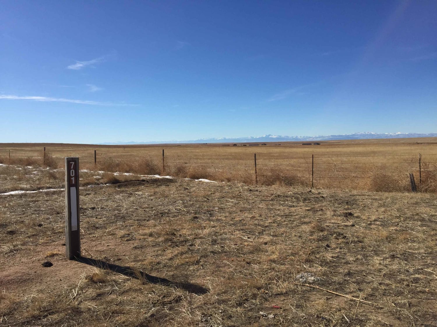
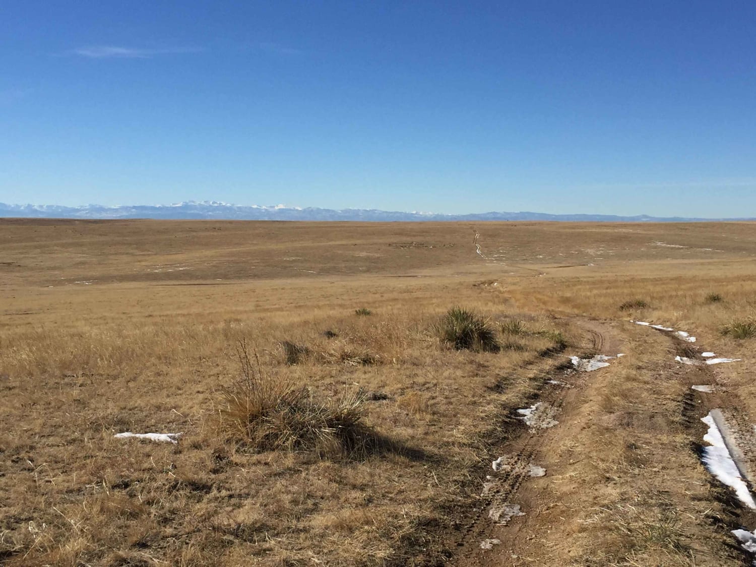
Trail Overview
Pawnee National Grasslands offers a distinct landscape of wide-open views and rolling hills with ample opportunities for recreation. This area is a checkerboard of National Grasslands, State of Colorado, Central Plains Experimental Range, and private lands. The area contains numerous Forest Service Roads that may be explored individually or can be linked together for hours of enjoyment. The crisscrossing two tracks lead in many directions so pay close attention to posted signs and designated maps. Crow Vally Loop is an easy two-track trail in dry conditions. Drivers should be cautious in wet conditions. There are some areas where the roadbed is heavily rutted and areas that will collect standing water, making for muddy conditions.
Photos of Crow Valley Loop
Difficulty
A very easy two track trail in dry conditions. Drivers should be cautious in wet conditions, there are some areas where the road bed is heavily rutted and areas that will collect standing water making for muddy conditions.
Status Reports
Crow Valley Loop can be accessed by the following ride types:
- High-Clearance 4x4
- SUV
Crow Valley Loop Map
Popular Trails
Synder Creek Loop Northwest
NE Passage via Cimarron Canyon
The onX Offroad Difference
onX Offroad combines trail photos, descriptions, difficulty ratings, width restrictions, seasonality, and more in a user-friendly interface. Available on all devices, with offline access and full compatibility with CarPlay and Android Auto. Discover what you’re missing today!