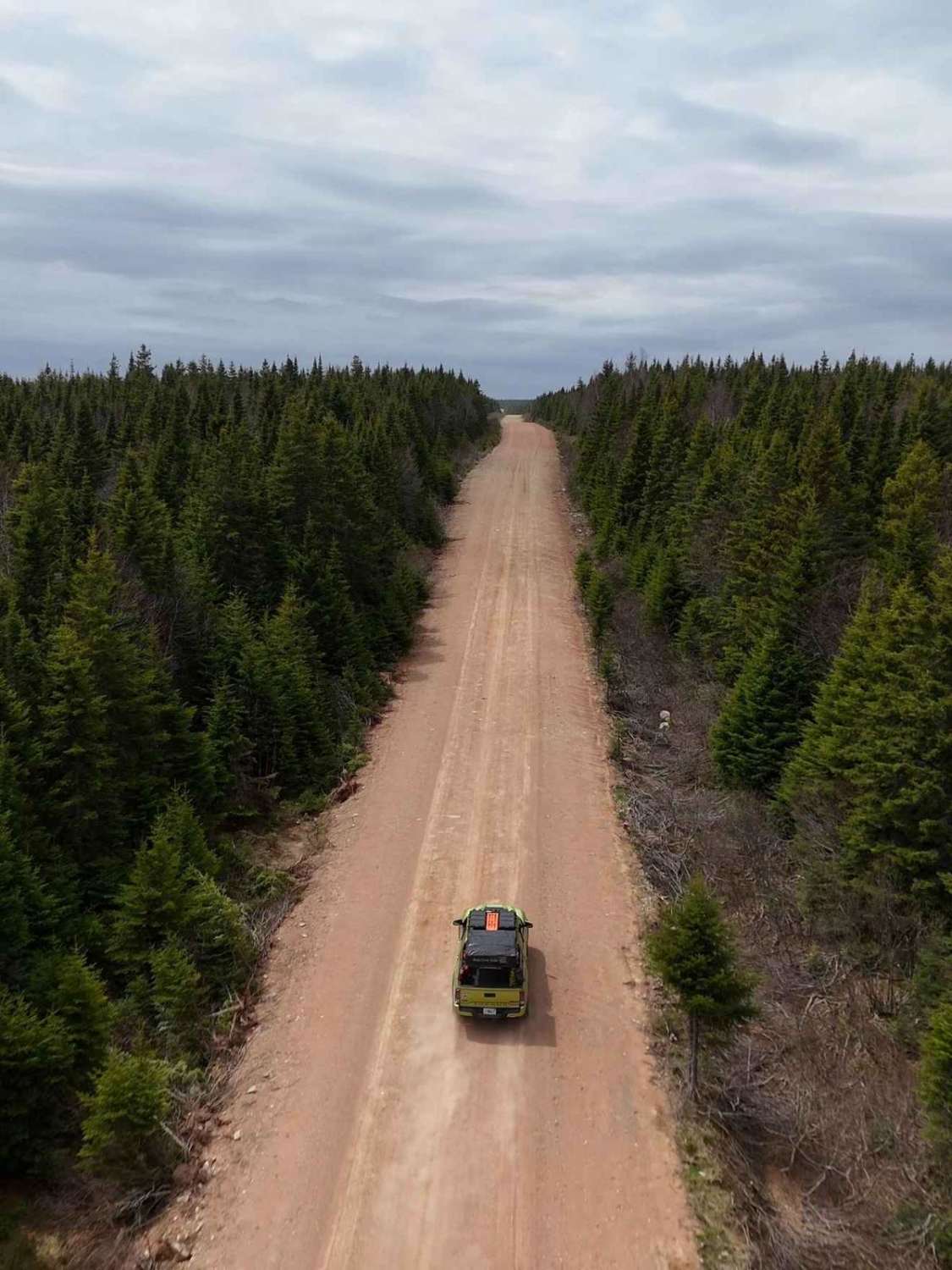
Highland Road
Total Kilometers
77.4
Technical Rating
Best Time
Spring, Summer, Fall
Trail Type
Full-Width Road
Accessible By
Trail Overview
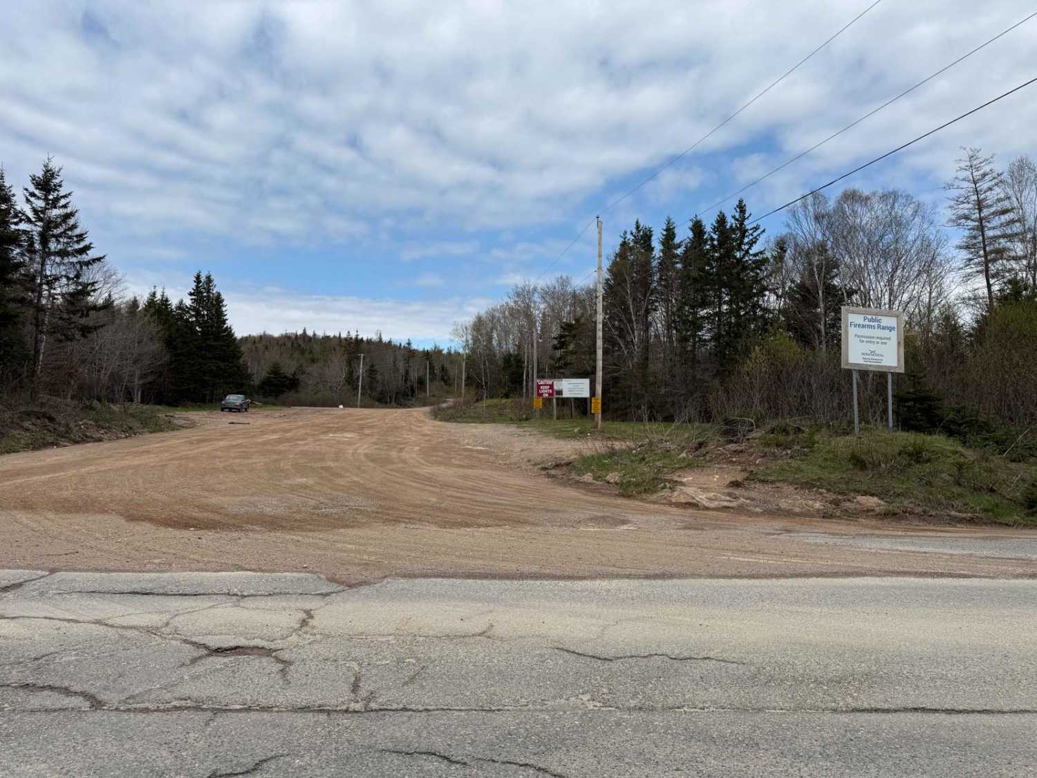
Highland Road is a wide, well-maintained gravel road that cuts through the heart of the Cape Breton Highlands. The route spans approximately 50 km northward before turning east, continuing another 38 km to Wreck Cove. Along the way, it connects to several subsidiary wood roads, including MacMillan, Doyle, and Park Spur Roads, which vary in maintenance and offer additional exploration opportunities. The road is navigable from June to October, coinciding with logging operations for the Port Hawkesbury pulp mill. Visitors should exercise caution due to loose gravel, dust, occasional small washouts, and high-speed logging trucks. Encounters with moose, free-range cattle, and graders are also possible. During winter, the route becomes impassable as it is not plowed, and lingering snowdrifts may persist into mid-May depending on conditions.
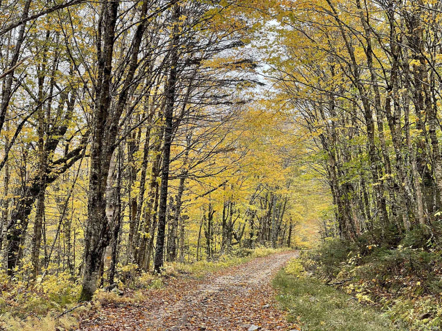
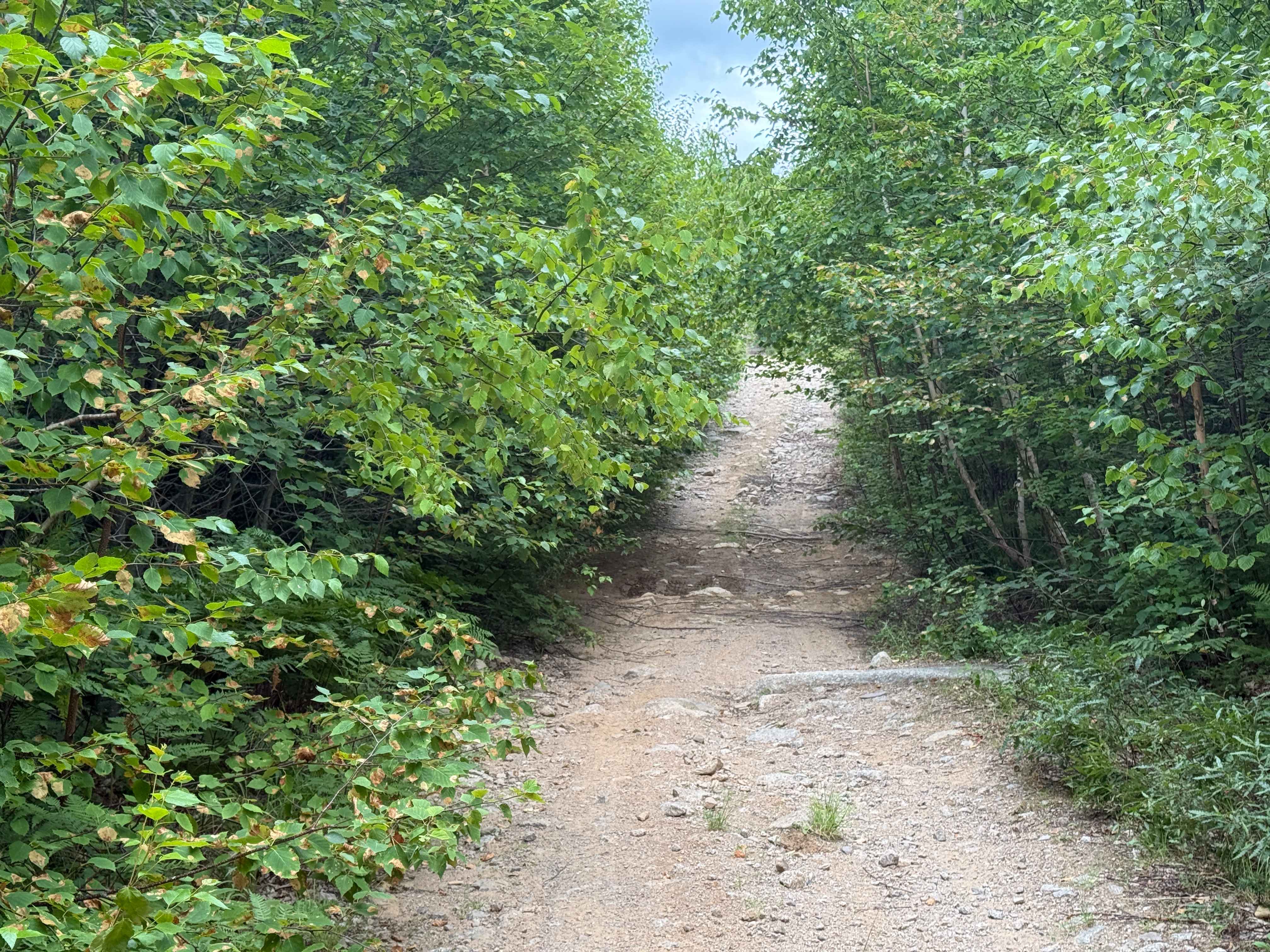
Photos of Highland Road
Difficulty
Highland Road is a wide gravel trail with generally stable conditions, but loose gravel and occasional small washouts can present challenges. Dust is common, especially in dry conditions, and the trail may have uneven surfaces in sections. Regular maintenance keeps the road passable, but conditions can vary based on recent weather events.
History
Highland Road's western terminus at Wreck Cove introduces travellers to a site of significant industrial and environmental importance. The Wreck Cove Hydroelectric System, nestled near this trailhead, stands as Nova Scotia's largest hydroelectric facility, with a generating capacity of 215.8 megawatts. Completed in the 1970s, this innovative underground powerhouse relies on a network of dams and reservoirs to harness the power of Cape Breton's highlands, contributing nearly half of Nova Scotia's hydroelectric energy output. Its presence near Highland Road highlights the intersection of natural grandeur and human ingenuity in shaping the region's identity. As Highland Road winds southward, it traverses the historical timberlands of the Oxford Paper Company's 1896 land lease. This expansive agreement granted the company rights to harvest Cape Breton's rich timber resources, although their envisioned pulp mills were never constructed. The trail through this area not only provides access to the remote wilderness of the highlands but also reflects the lingering impact of industrial ambitions that once sought to transform the landscape. Together, the historical and industrial landmarks along Highland Road offer adventurers a unique lens through which to explore Cape Breton's multifaceted heritage.
Status Reports
Highland Road can be accessed by the following ride types:
- High-Clearance 4x4
- SUV
- SxS (60")
- ATV (50")
- Dirt Bike
Highland Road Map
Popular Trails

Quack Lake Road

Airport Hill Trail
Oregon Trail
Trout Lake Road
The onX Offroad Difference
onX Offroad combines trail photos, descriptions, difficulty ratings, width restrictions, seasonality, and more in a user-friendly interface. Available on all devices, with offline access and full compatibility with CarPlay and Android Auto. Discover what you’re missing today!