North Star Trail
Total Kilometers
23.5
Technical Rating
Best Time
Summer
Trail Type
Full-Width Road
Accessible By
Trail Overview
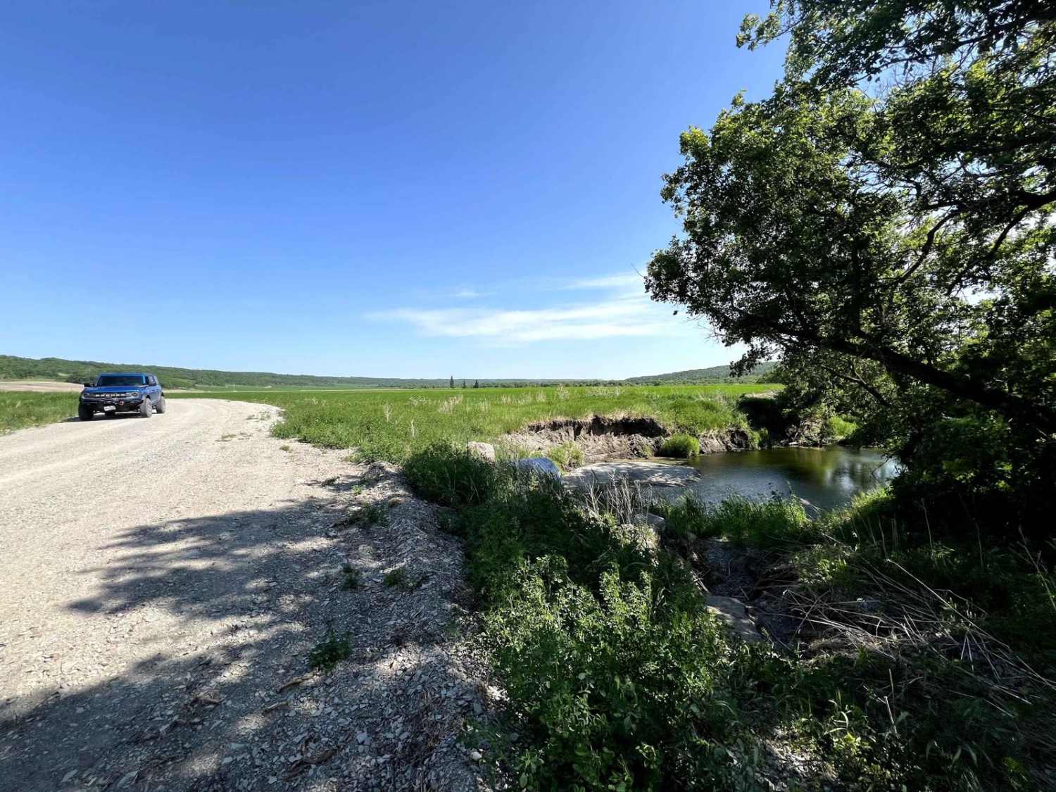
The trail is an old logging road once the only roadway to the beaches. Today, you can explore the trail in summer by truck, horseback, mountain bike, or ATV. Logging and gravel trucks still use part of the trail near the northern end. The south trailhead is at Hwy 304 at Stead Road. The north trailhead is at Hw 59. The trail is mostly sandy with some mud & ruts and passes through the Belair Provincial Fo est. There is one water crossing over Jackfish Creek; water levels fluctuate seasonally, depending on recent rainfall and whether a beaver dam exists on either side of the cross. Many ATVs and tight spur trails lead off from the main trail, except for pin strips when leaving the central tunnel. the road is generally two vehicles wide. The steepest incline is +/- deg. This is part of the groomed SnoMan trail system in the winter. Vehicles/ATVs should avoid this trail during the winter as it can damage the snowmobile trails and pose a hazard to snowmobilers.
Photos of North Star Trail


Difficulty
Sandy trail typically unmaintained after rain. You may encounter a shallow water crossing and obstacles under 12" on the trail.
Status Reports
North Star Trail can be accessed by the following ride types:
- High-Clearance 4x4
- SUV
- SxS (60")
- ATV (50")
- Dirt Bike
North Star Trail Map
Popular Trails
Pembina Valley WMA


Snow Valley Road

The onX Offroad Difference
onX Offroad combines trail photos, descriptions, difficulty ratings, width restrictions, seasonality, and more in a user-friendly interface. Available on all devices, with offline access and full compatibility with CarPlay and Android Auto. Discover what you’re missing today!