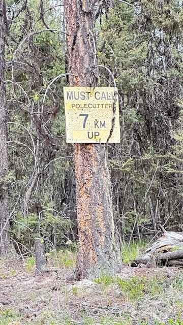
Pole Cutter FSR
Total Kilometers
14.8
Technical Rating
Best Time
Summer
Trail Type
Full-Width Road
Accessible By
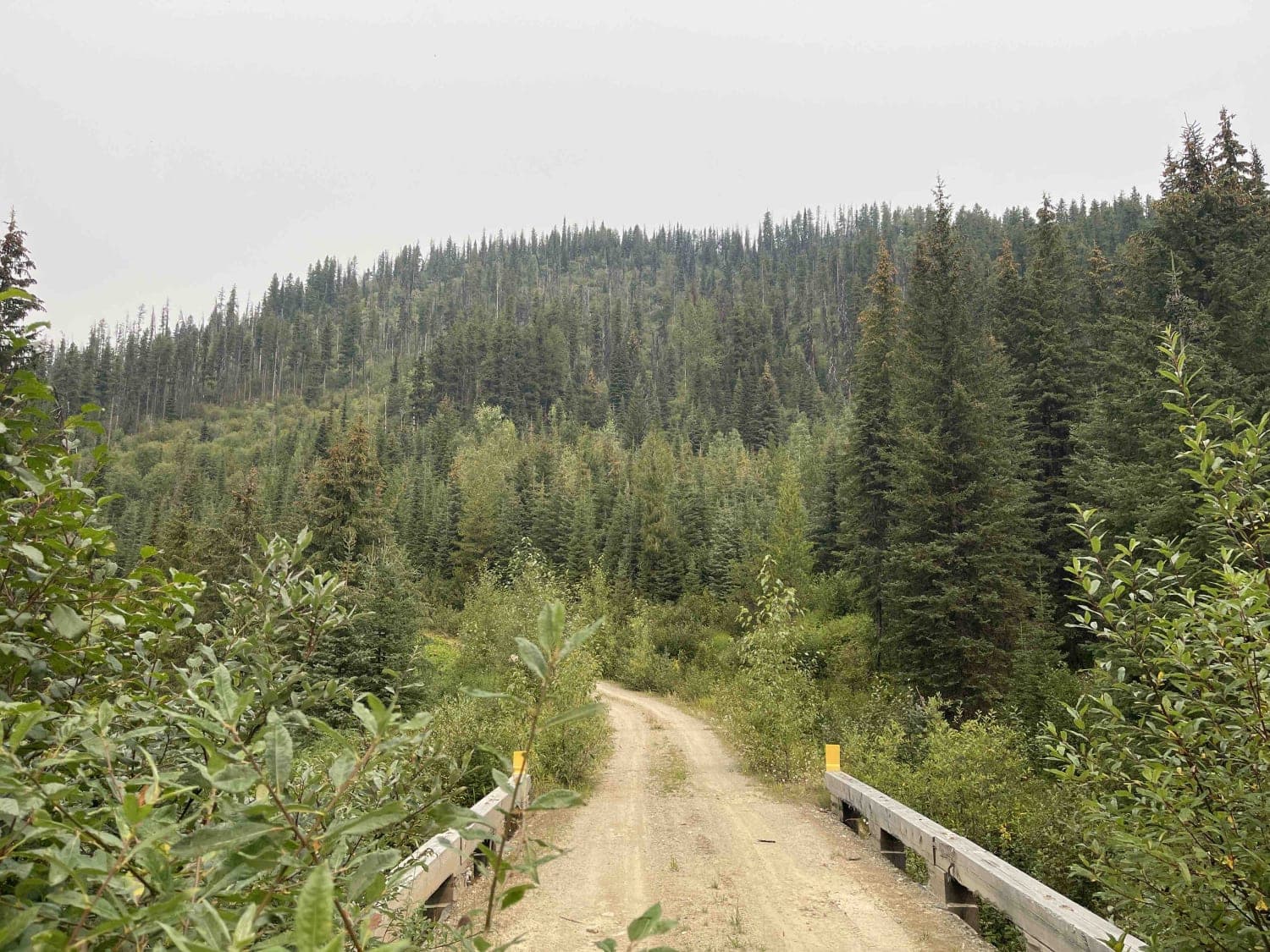
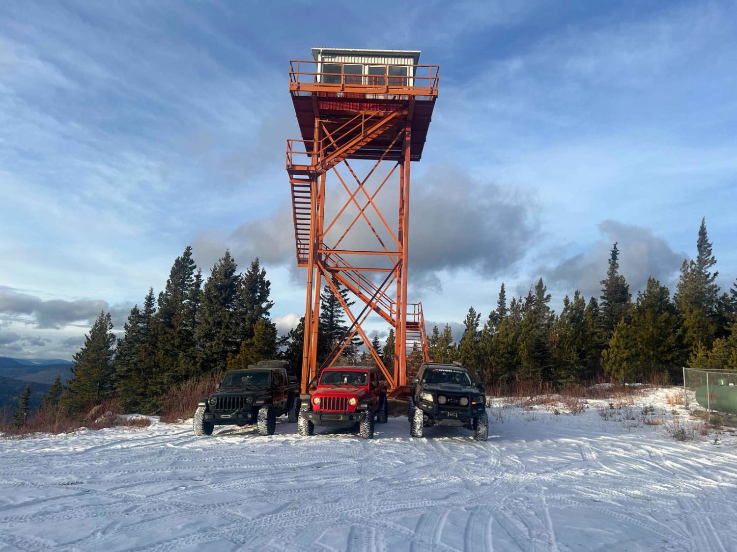
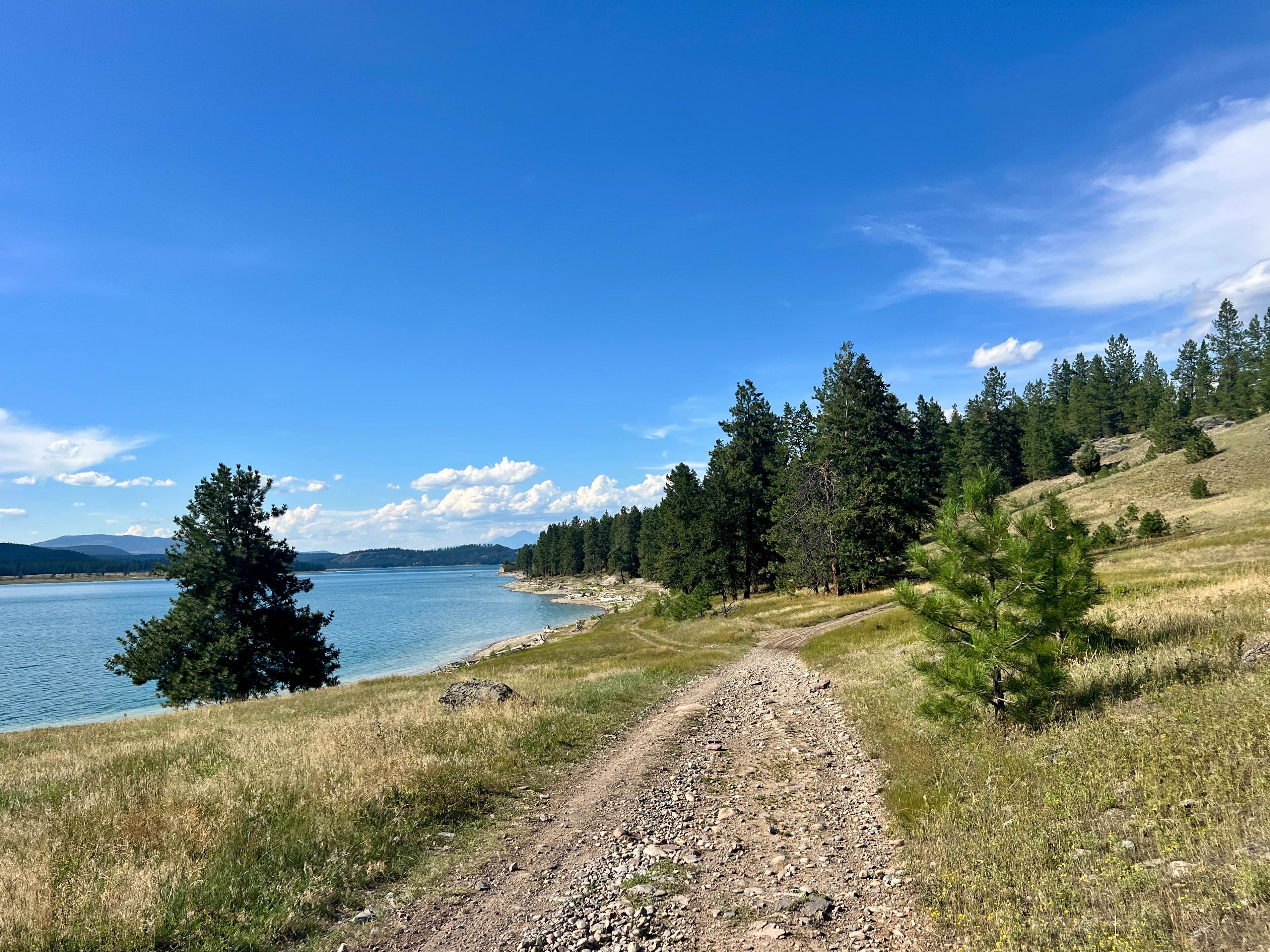
Trail Overview
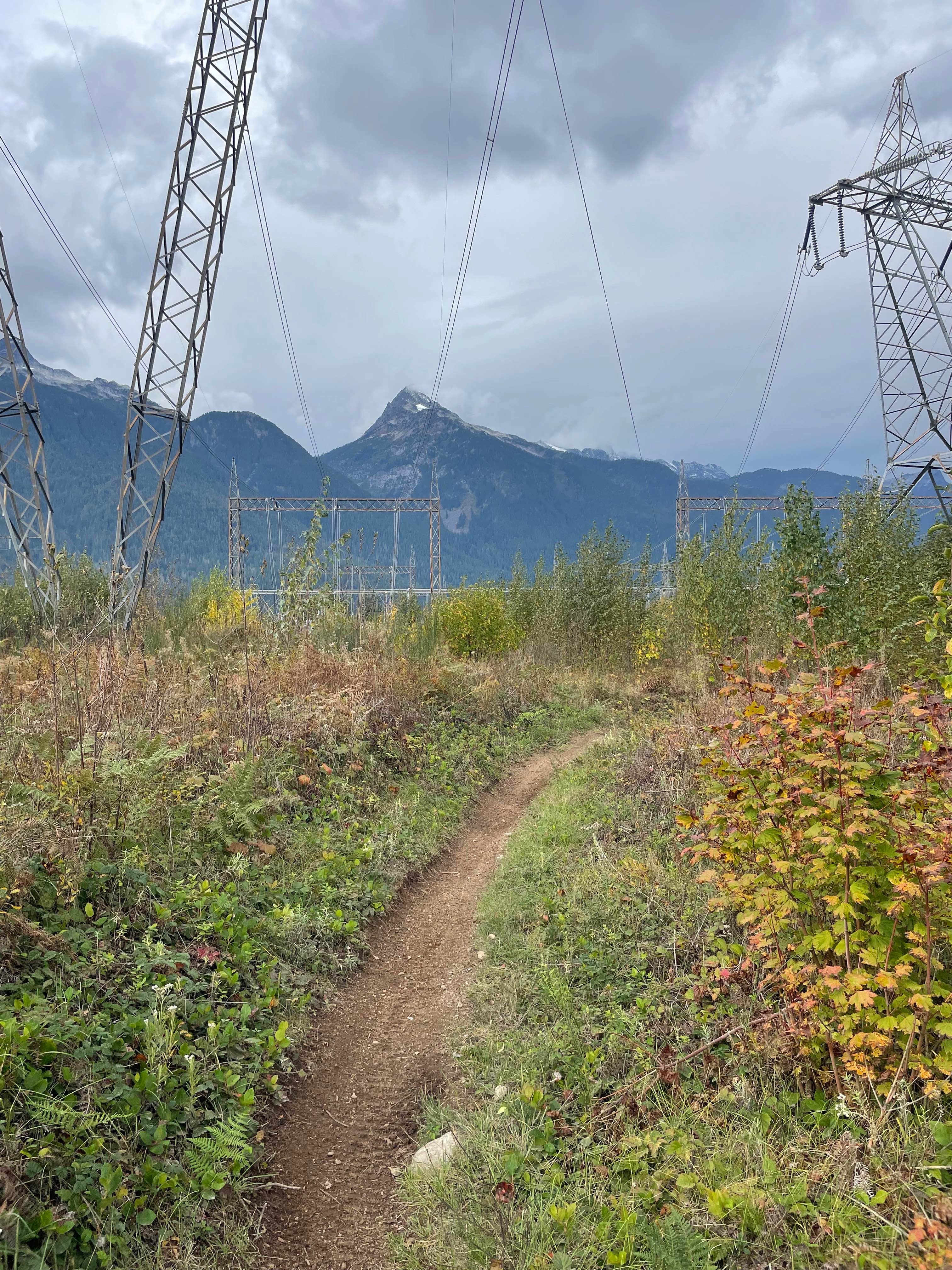
Route is a spur off of the Stirling Creek FSR ending at a decommissioned tower at an elevation of 2000 meters. The last half of the route is heavily cross-ditched. The ditches are not deep but are at an angle across the road, making for a jarring ride. The tower site provides incredible 360-degree views of the area.
Photos of Pole Cutter FSR

Difficulty
Mostly smooth mainline road then narrower section which is heavily cross ditched. The final climb to the tower site is loose rock switchbacks but is not difficult.
History
Historic mining and logging sites throughout.
Status Reports
Pole Cutter FSR can be accessed by the following ride types:
- High-Clearance 4x4
- SUV
- SxS (60")
- ATV (50")
- Dirt Bike
Pole Cutter FSR Map
Popular Trails
Eureka Road
Puggins Mountain Fire Lookout Tower
Motocross Track to Rob's Rip Connector
The onX Offroad Difference
onX Offroad combines trail photos, descriptions, difficulty ratings, width restrictions, seasonality, and more in a user-friendly interface. Available on all devices, with offline access and full compatibility with CarPlay and Android Auto. Discover what you’re missing today!