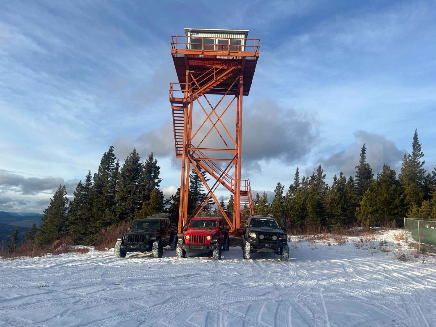
Puggins Mountain Fire Lookout Tower
Total Kilometers
54.0
Technical Rating
Best Time
Summer
Trail Type
Full-Width Road
Accessible By
Trail Overview
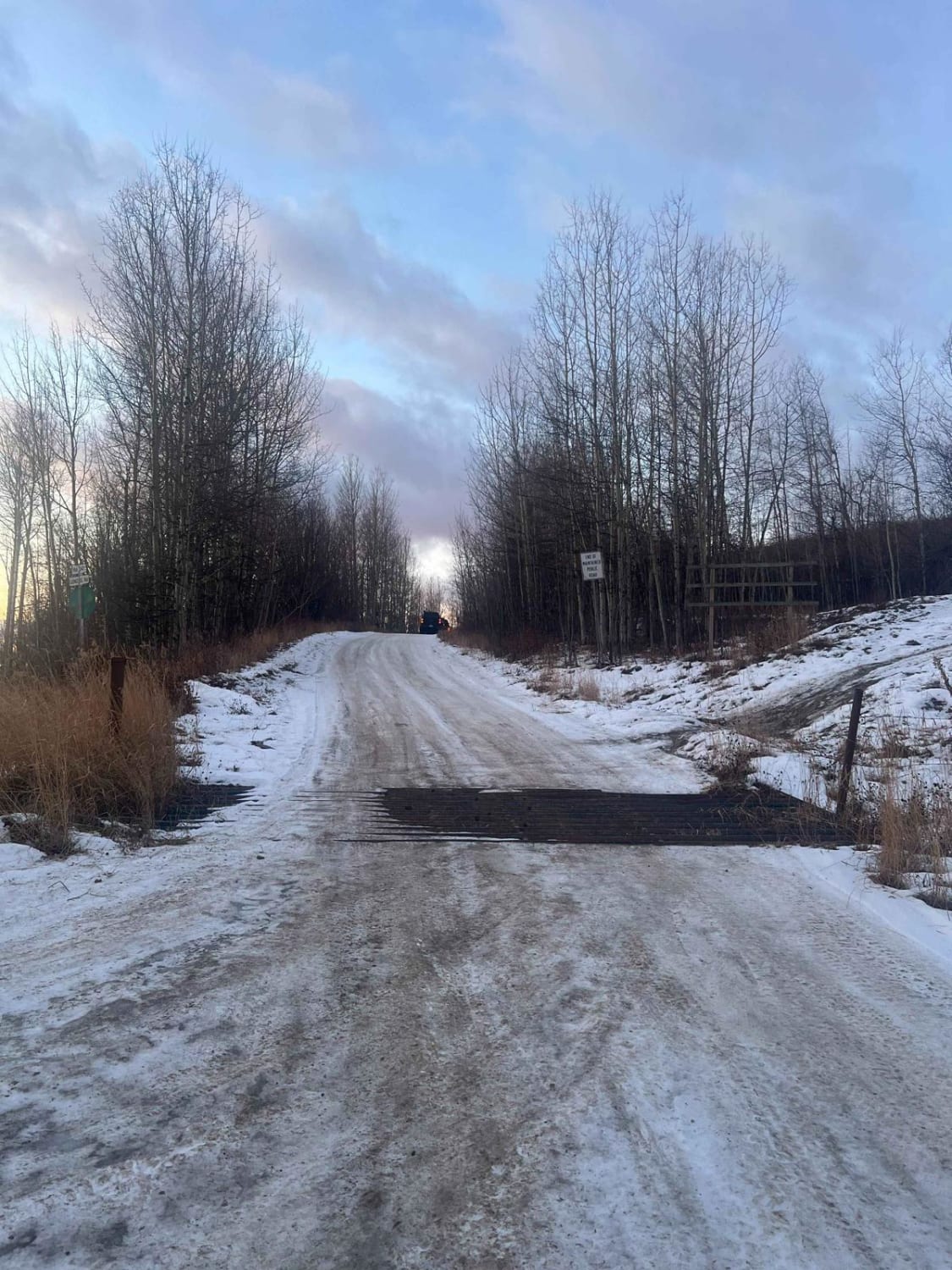
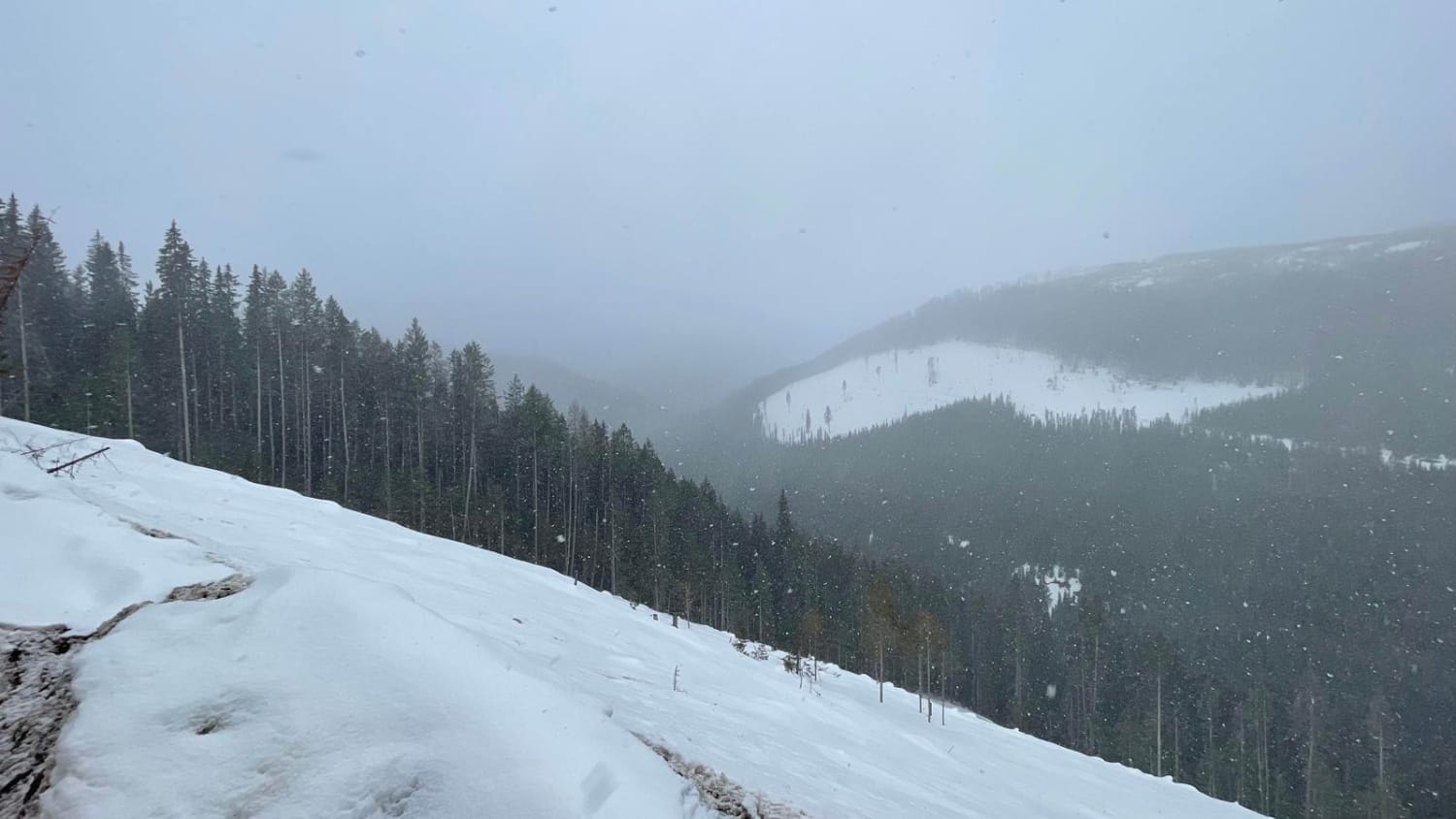
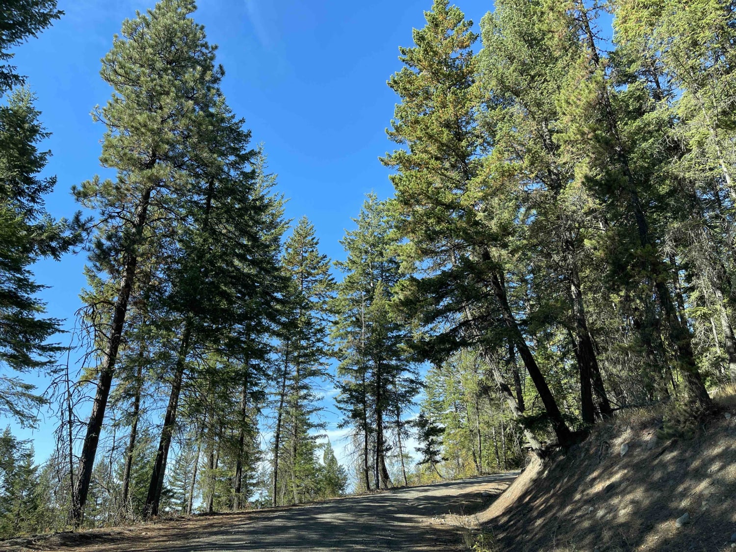
The trail is mostly a resource road with a single vehicle bridge. The road is maintained but there is a lot of ice in the winter season on hills and around corners, so take your time. Once off the resource road and heading up to the tower, it is rough road and icy on the steep section. The road radio is loaded with RR channels and is highly recommended, as there is large truck traffic on these roads such as oilfield tankers and logging trucks. There's a beautiful view at the top and it's worth the drive. You have access to the interior of the fire tower and there is a sign in book. There is also a firepit in the parking area, but check for fire bans prior to using it and also wind conditions as it can be quite windy.
Photos of Puggins Mountain Fire Lookout Tower
Difficulty
This is an easy trail in the summer for most vehicles. The last couple climbs to the tower can be difficult as they are steep and rocky.
Status Reports
Puggins Mountain Fire Lookout Tower can be accessed by the following ride types:
- High-Clearance 4x4
- SUV
- SxS (60")
- ATV (50")
- Dirt Bike
Puggins Mountain Fire Lookout Tower Map
Popular Trails

Airport to Tower

Swansea Mountain Road
Bolean Lake Road
The onX Offroad Difference
onX Offroad combines trail photos, descriptions, difficulty ratings, width restrictions, seasonality, and more in a user-friendly interface. Available on all devices, with offline access and full compatibility with CarPlay and Android Auto. Discover what you’re missing today!