North Cornwall Fire Lookout Route
Total Kilometers
30.8
Technical Rating
Best Time
Summer, Fall
Trail Type
High-Clearance 4x4 Trail
Accessible By
Trail Overview
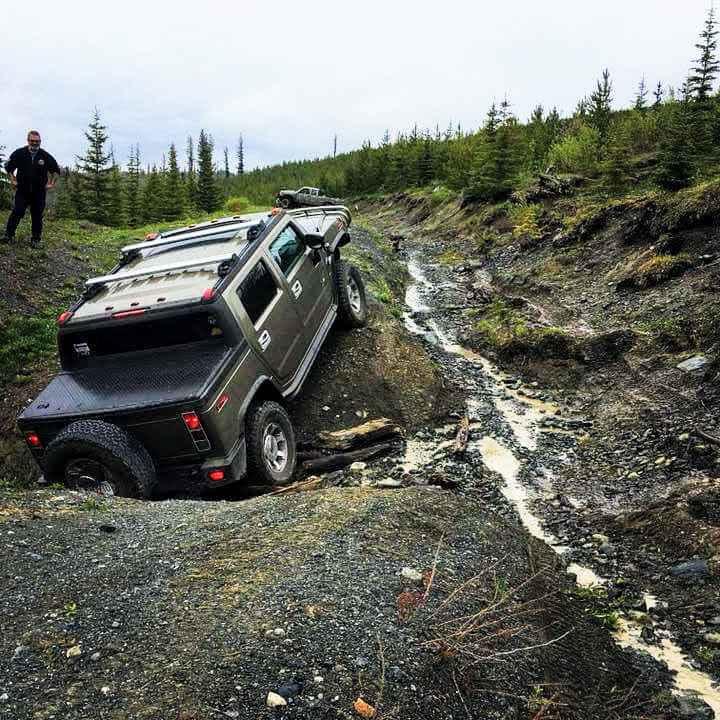
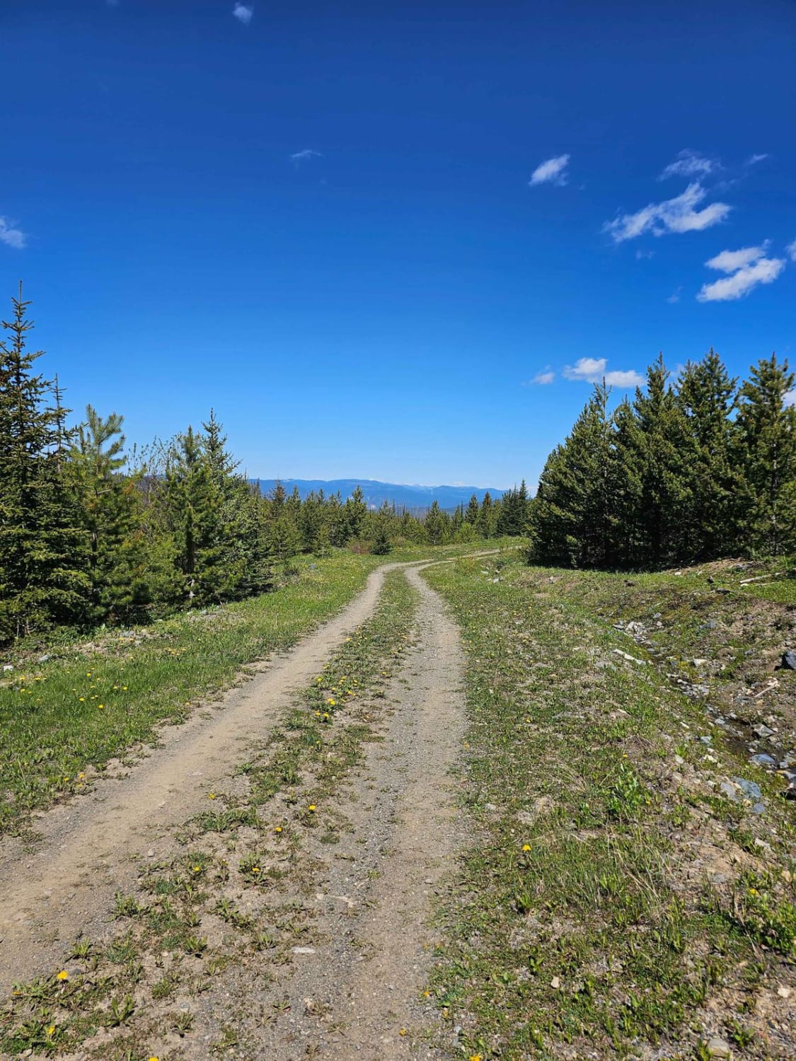
This is the north route to Cornwall Fire Lookout. This trail takes you from desert-like terrain to remnants of a forest fire from years past, to high alpine forest with great views. The trail is mostly gravel with a couple of washouts to cross, with one crossing needing high clearance 4x4. The trail gets tight towards the top with many downed trees, so a chainsaw is highly recommended. At the top is a 360-degree view of the coastal mountains in the distance, at 6,677 feet of elevation.
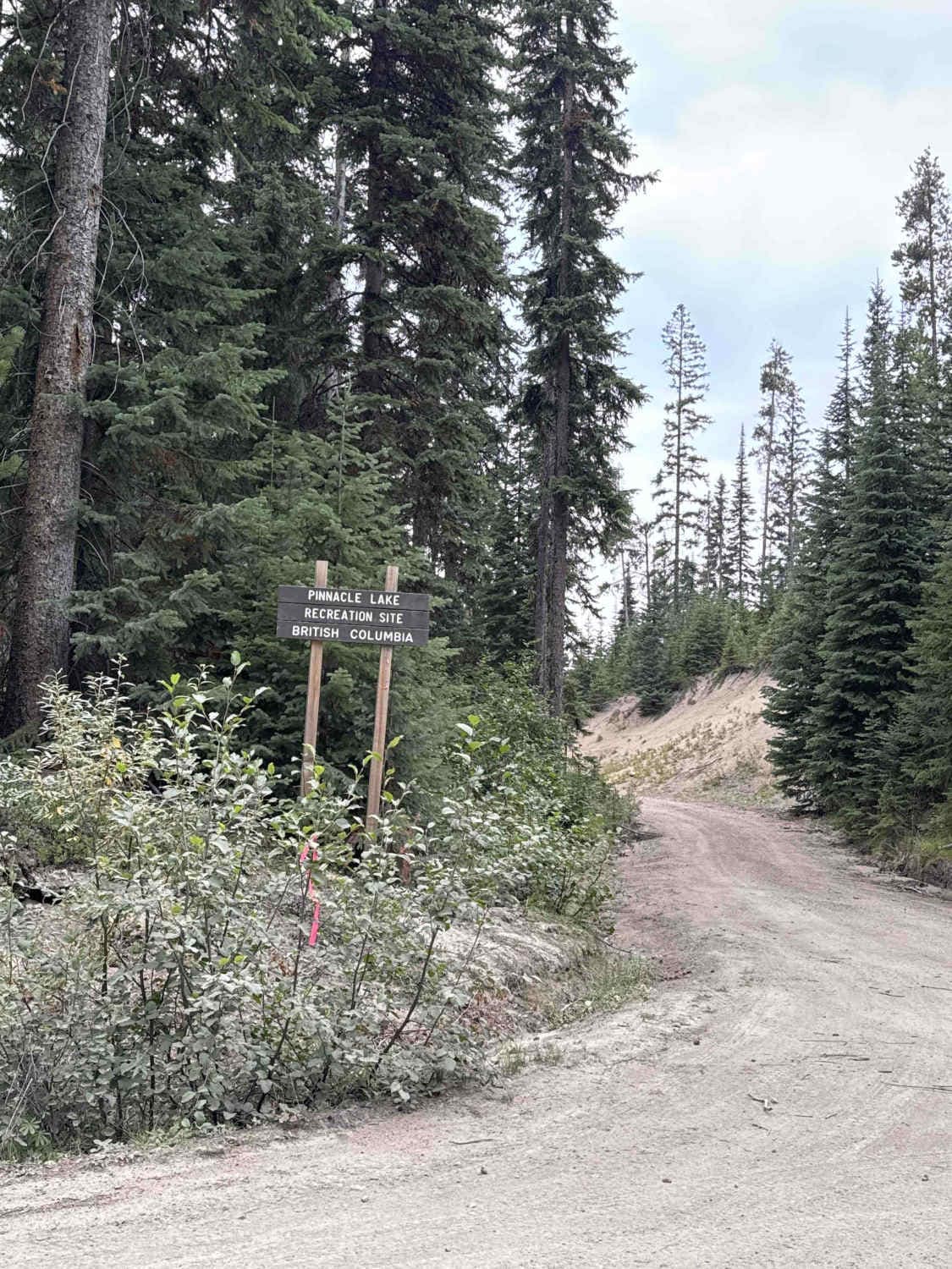
Photos of North Cornwall Fire Lookout Route
Difficulty
High clearance is a must due to one large washout.
Status Reports
North Cornwall Fire Lookout Route can be accessed by the following ride types:
- High-Clearance 4x4
- SxS (60")
- ATV (50")
- Dirt Bike
North Cornwall Fire Lookout Route Map
Popular Trails
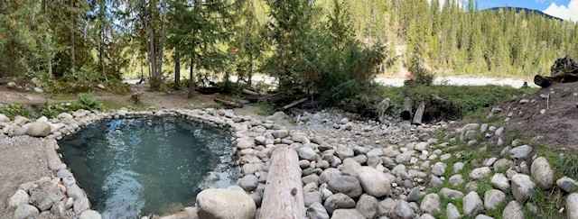
Halfway Hot Springs Road
Hatheume Lake Forest Service Road

Mount Swite Road
North Cornwall Fire Lookout Route
The onX Offroad Difference
onX Offroad combines trail photos, descriptions, difficulty ratings, width restrictions, seasonality, and more in a user-friendly interface. Available on all devices, with offline access and full compatibility with CarPlay and Android Auto. Discover what you’re missing today!