Halfway Hot Springs Road
Total Kilometers
11.2
Technical Rating
Best Time
Spring, Summer, Fall
Trail Type
Full-Width Road
Accessible By
Trail Overview
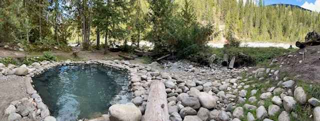
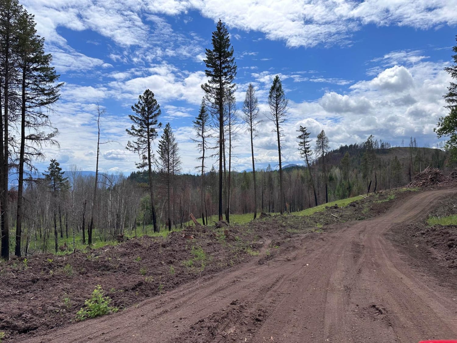
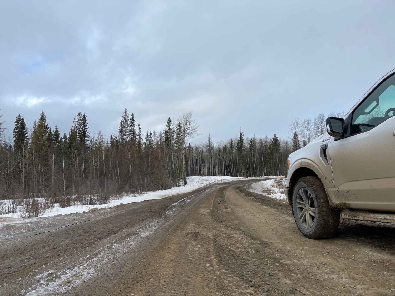
This can be a very rough Forest Service road, as is it not well maintained. The road can be challenging but doable in a small car; however, 4x4-capable vehicles are recommended. The road can have snow until mid to late April. Although the drive may be bumpy, the destination is worth it because there is a beautiful natural Hot Springs at the end that has been upgraded and is now managed by BC Parks. Once parked in the parking lot about 7 miles down the FS road, there is a small hike down to the hot springs about half a mile.
Photos of Halfway Hot Springs Road

Difficulty
typical Forest Service road with a significant amount of potholes. there are some washouts on the edge of the road in a few locations but still alot of width for 2 vehicles along the majority of the route.
Status Reports
Halfway Hot Springs Road can be accessed by the following ride types:
- High-Clearance 4x4
- SUV
- SxS (60")
- ATV (50")
- Dirt Bike
Halfway Hot Springs Road Map
Popular Trails
New Fire Road
Ice Bridge Road

Pannask Lake Road

Tadpole Lake FST
The onX Offroad Difference
onX Offroad combines trail photos, descriptions, difficulty ratings, width restrictions, seasonality, and more in a user-friendly interface. Available on all devices, with offline access and full compatibility with CarPlay and Android Auto. Discover what you’re missing today!