Mount Swite Road
Total Kilometers
12.6
Technical Rating
Best Time
Spring, Summer, Fall
Trail Type
Full-Width Road
Accessible By
Trail Overview
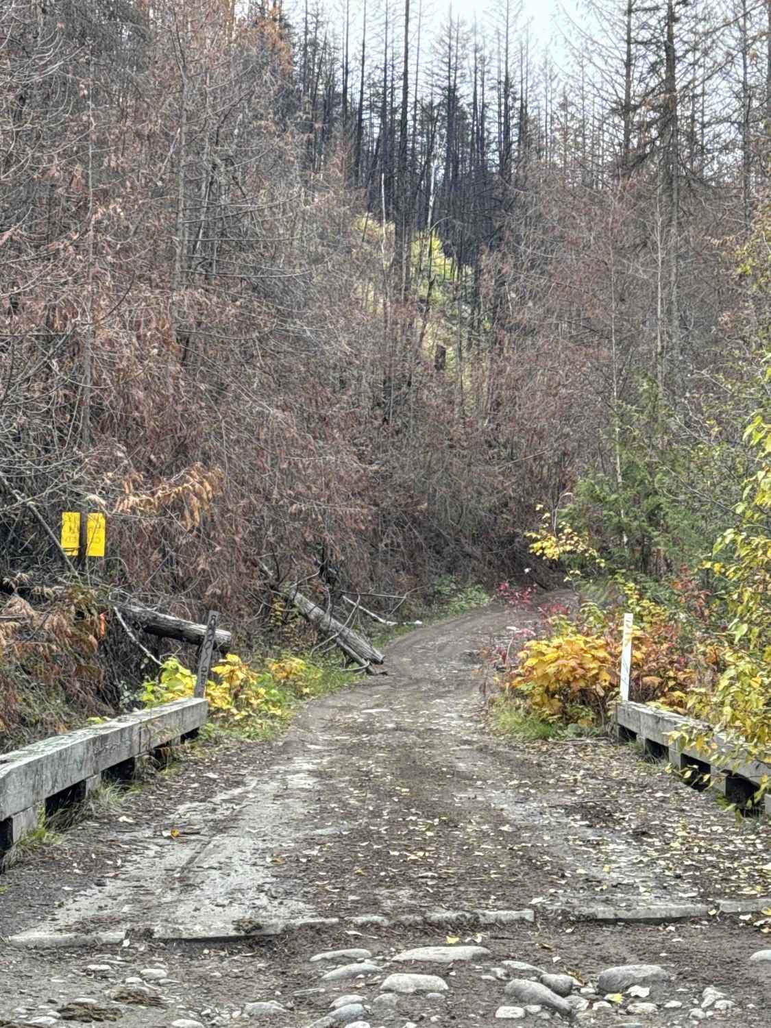
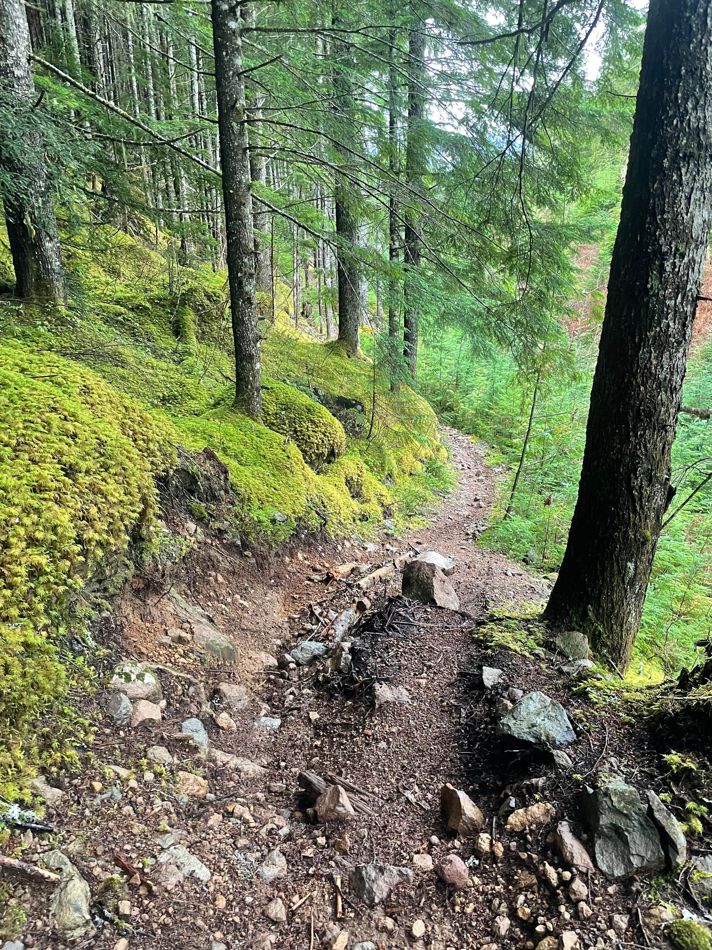
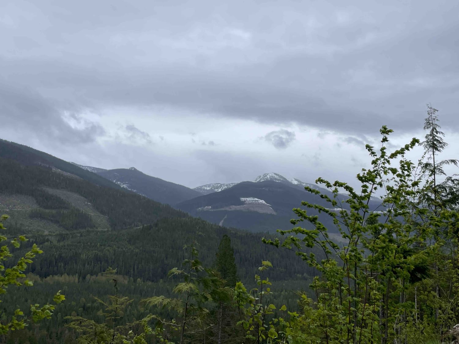
Mount Swite Road is a single-vehicle-width trail that winds through a landscape transformed by the McDougall Creek Wildfire (2023). The charred tree trunks bear witness to the fire's intensity, but as you ascend closer to the mountain's summit, you'll encounter a more vibrant, living forest. The trail features a mix of potholes, water runoff areas, loose rocks, occasional tree roots, and a few water bars to navigate. Multiple spur roads branch off from the main route, offering opportunities for exploration and access to several dispersed camping spots. Dirt bike trails occasionally cross the road, so proceed with caution. Mount Swite Road slowly comes to an end as the road narrows out. Cell service is unreliable, so carrying a satellite communication device is highly recommended. This trail is typically quiet, with few encounters with other vehicles, making it a very peaceful adventure.
Photos of Mount Swite Road

Difficulty
Most of the trail is a 2 but there is one area of the road that has a bit of a washout going through it approximately 12 inches deep that you have to straddle.
History
Mount Swite Road was unfortunately a victim of the McDougall Creek Wildfire in 2023. It was a devastating blaze that tore through the Okanagan region of British Columbia, consuming over 13,000 hectares of forest and resulted in the loss or damage of approximately 189 structures (0ver 100 homes) in the West Kelowna area.
Status Reports
Mount Swite Road can be accessed by the following ride types:
- High-Clearance 4x4
- SUV
- SxS (60")
- ATV (50")
- Dirt Bike
Mount Swite Road Map
Popular Trails
Side 1
Boston Bar to Fire Tower
Florence Lake FSR
3 Valley Mabel Lake FSR Road to Kingfisher
The onX Offroad Difference
onX Offroad combines trail photos, descriptions, difficulty ratings, width restrictions, seasonality, and more in a user-friendly interface. Available on all devices, with offline access and full compatibility with CarPlay and Android Auto. Discover what you’re missing today!