Kettle Center to Hwy along Kettle Valley
Total Kilometers
33.5
Technical Rating
Best Time
Winter, Fall, Summer, Spring
Trail Type
Full-Width Road
Accessible By
Trail Overview
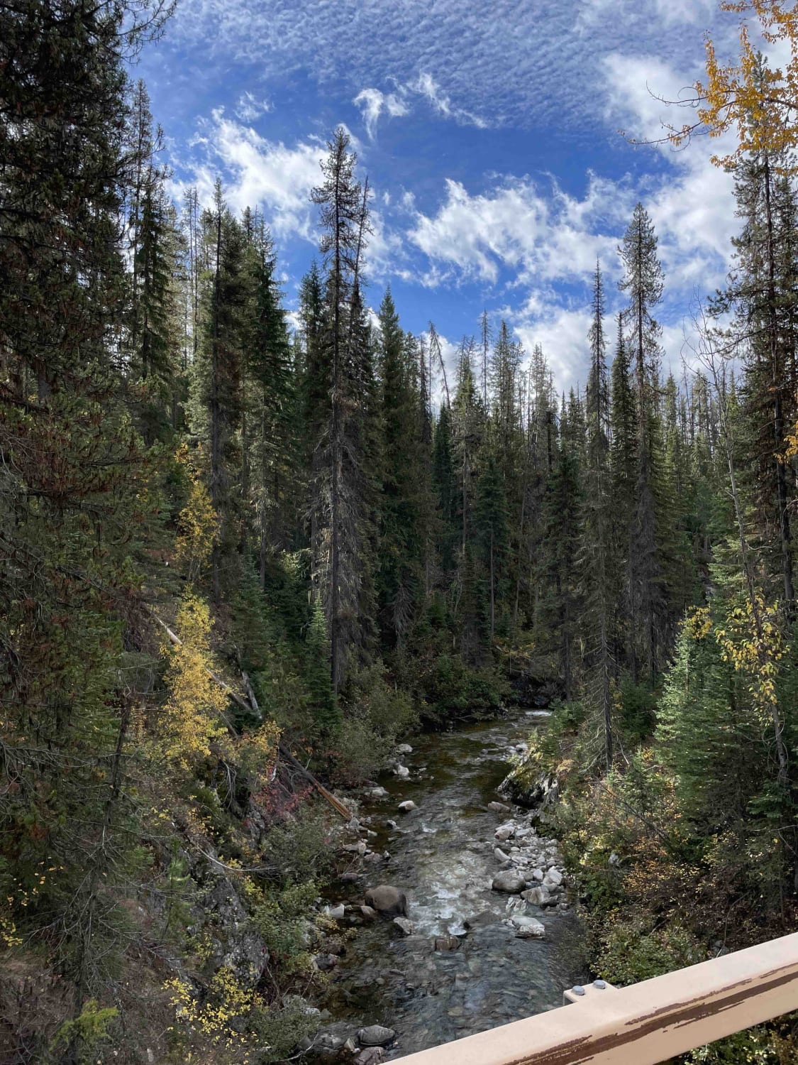
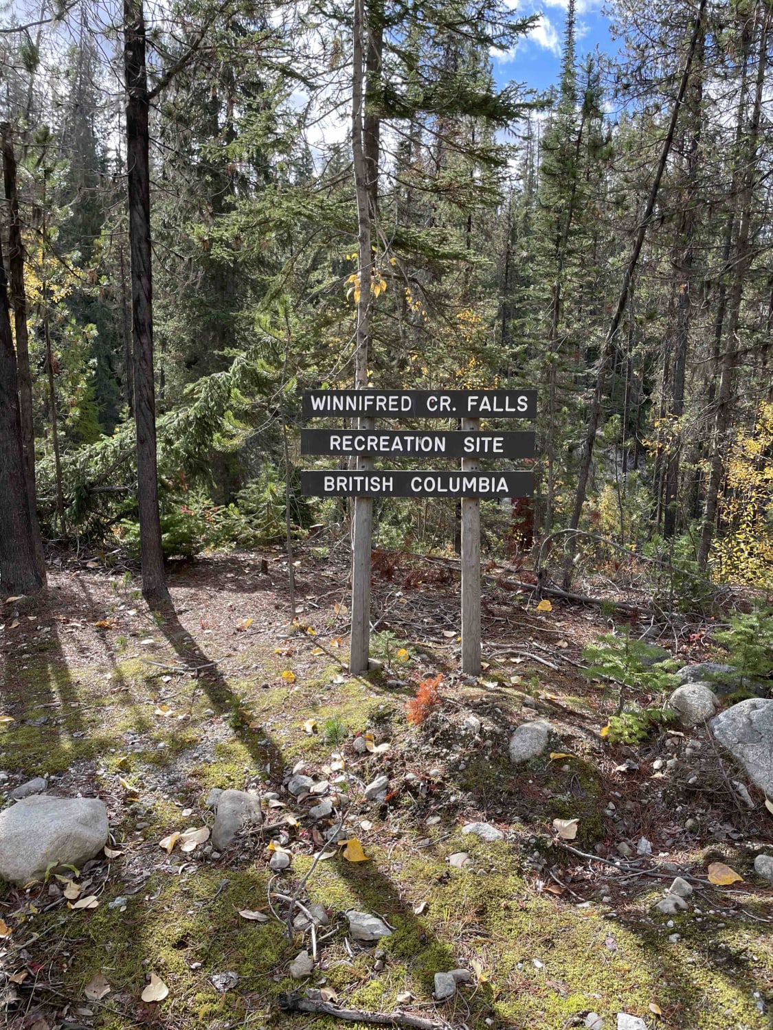
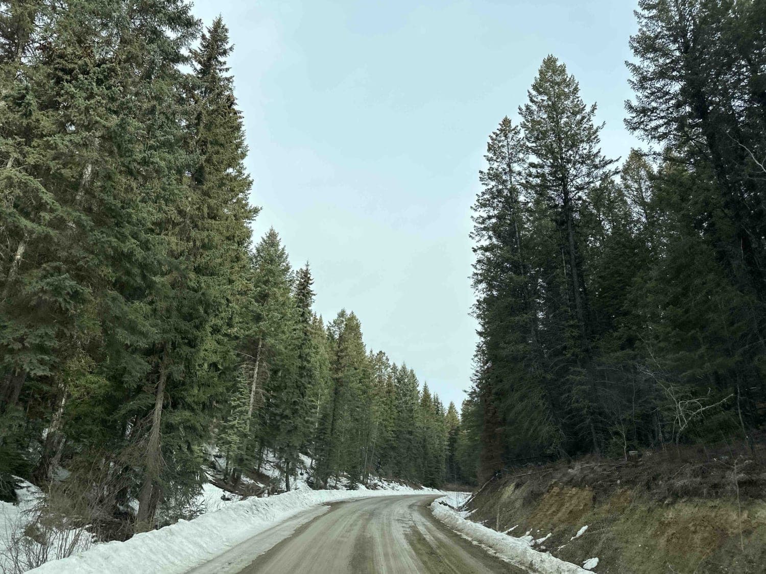
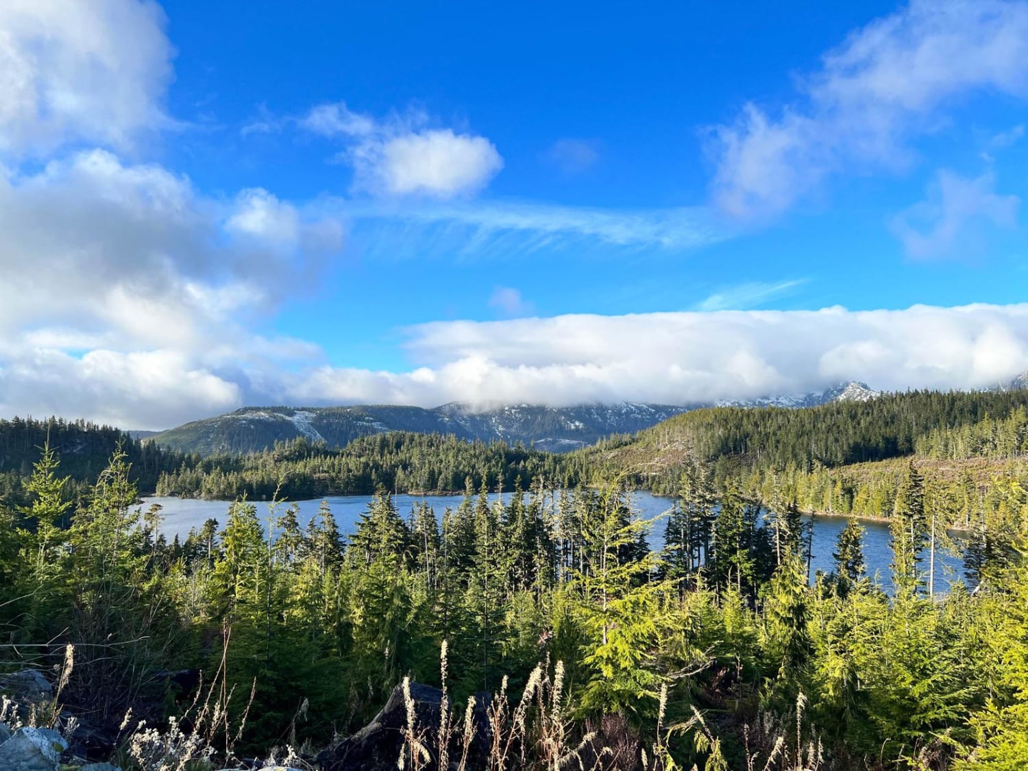
This is a fast road with great views along the valley. You cross the river many times and you will also come to a recreation site with the Winnifred Falls-very cool and right off the road. There are many recreation sites for camping, which in the early fall are mostly full of hunters. This is a busy logging road during the week; let trucks know you are there.
Photos of Kettle Center to Hwy along Kettle Valley
Difficulty
This is a basic Forest Service road with some loose rock and a little washboarding.
Status Reports
Kettle Center to Hwy along Kettle Valley can be accessed by the following ride types:
- High-Clearance 4x4
- SUV
- SxS (60")
- ATV (50")
- Dirt Bike
Kettle Center to Hwy along Kettle Valley Map
Popular Trails
Forester Creek to Snowmobile Parking

Bald Eagle Range FSR
Green Intro
Rowbotham Lake
The onX Offroad Difference
onX Offroad combines trail photos, descriptions, difficulty ratings, width restrictions, seasonality, and more in a user-friendly interface. Available on all devices, with offline access and full compatibility with CarPlay and Android Auto. Discover what you’re missing today!