Kane Valley Road
Total Kilometers
13.2
Technical Rating
Best Time
Spring, Summer, Fall, Winter
Trail Type
Full-Width Road
Accessible By
Trail Overview
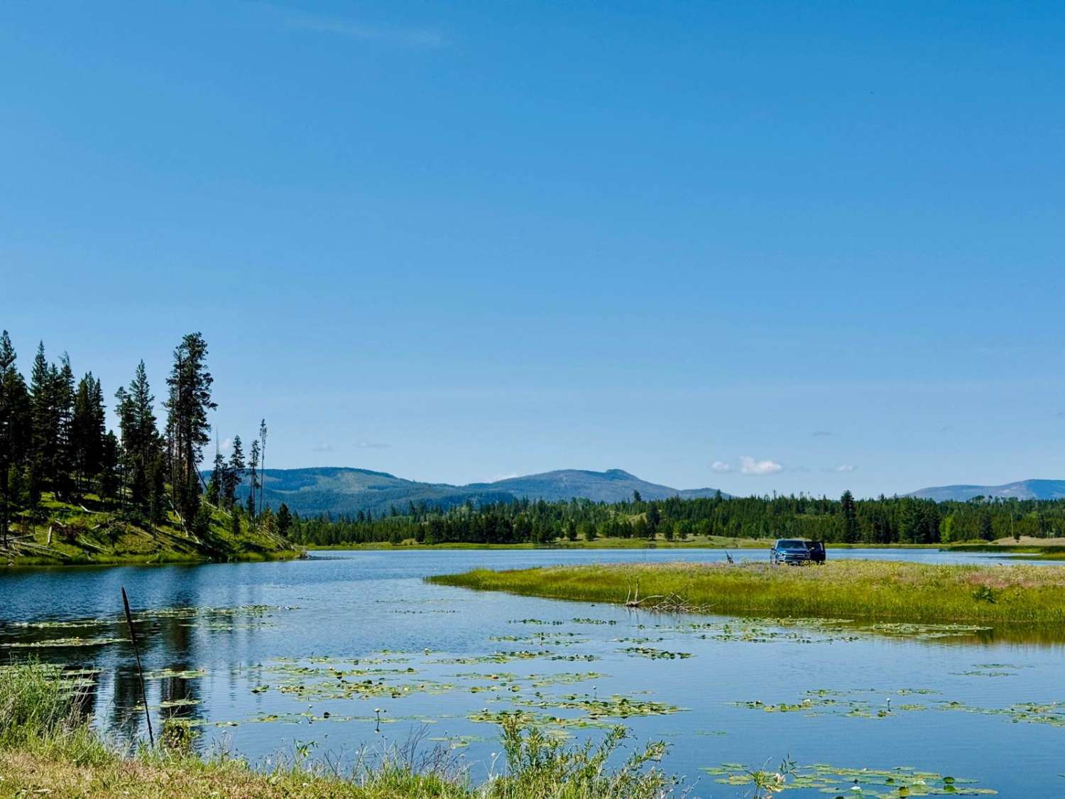
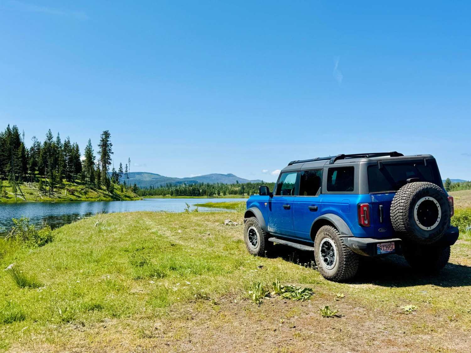
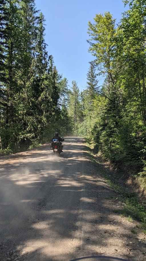
Kane Valley Road is a scenic, easy-going drive through one of the Nicola Valley's most serene landscapes. Winding through open meadows, rolling forested hills, and past multiple alpine lakes, this well-maintained gravel route is a must-do for anyone exploring the Merritt backcountry. The trail begins just off Highway 5 (Coquihalla Hwy) and meanders East towards a network of hidden lakes great for fishing, birdwatching, and photography. The road surface is hard-packed, chiefly gravel, with some loose sections and light washboarding depending on weather and traffic. Along the way, you'll see signs of local ranching, encounter roaming cattle, and possibly spot deer, eagles, or even the occasional black bear in the surrounding pine forests. In autumn, the valley explodes with colour as golden larches and aspens take over the view. Camping is available at a few informal rec sites near the lakes, and the area is popular with fly fishers, canoers, and nature lovers seeking a peaceful escape.
Photos of Kane Valley Road
Difficulty
Kane Valley Road is suitable for most vehicles with decent clearance and is a great option for beginner overlanders or those new to BC's backroads. RVs can also travel this road with ease. The terrain is non-technical with wide gravel roads, gradual elevation changes, and no major obstacles. After heavy rains, some sections may become muddy or rutted, so an AWD or 4x4 is recommended in wet conditions.This trail is perfect for a scenic cruise, a lakeside picnic, or light overlanding with minimal risk.
Status Reports
Kane Valley Road can be accessed by the following ride types:
- High-Clearance 4x4
- SUV
- SxS (60")
- ATV (50")
- Dirt Bike
Kane Valley Road Map
Popular Trails

Telkwa 116 Road
Cokato Rd

Granduc Road

Rowbotham Lake
The onX Offroad Difference
onX Offroad combines trail photos, descriptions, difficulty ratings, width restrictions, seasonality, and more in a user-friendly interface. Available on all devices, with offline access and full compatibility with CarPlay and Android Auto. Discover what you’re missing today!