Cokato Rd
Total Kilometers
9.1
Technical Rating
Best Time
Summer, Spring, Fall, Winter
Trail Type
Full-Width Road
Accessible By
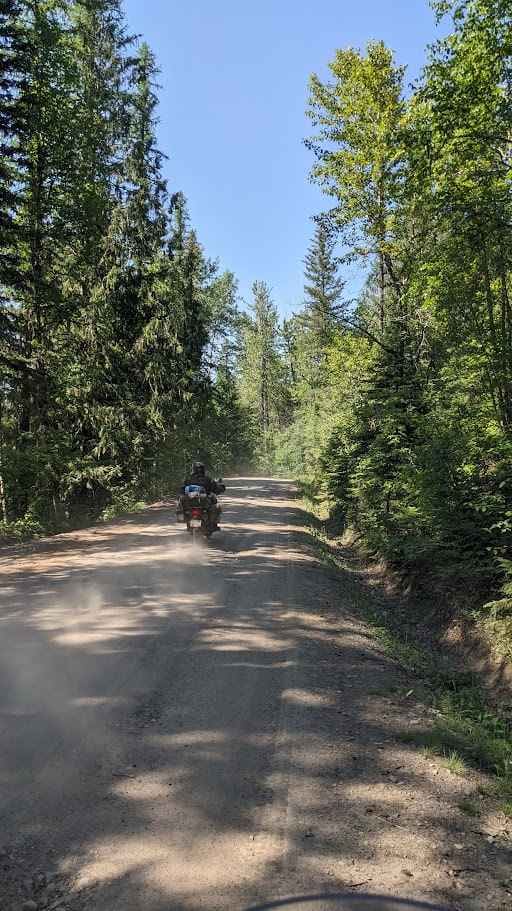
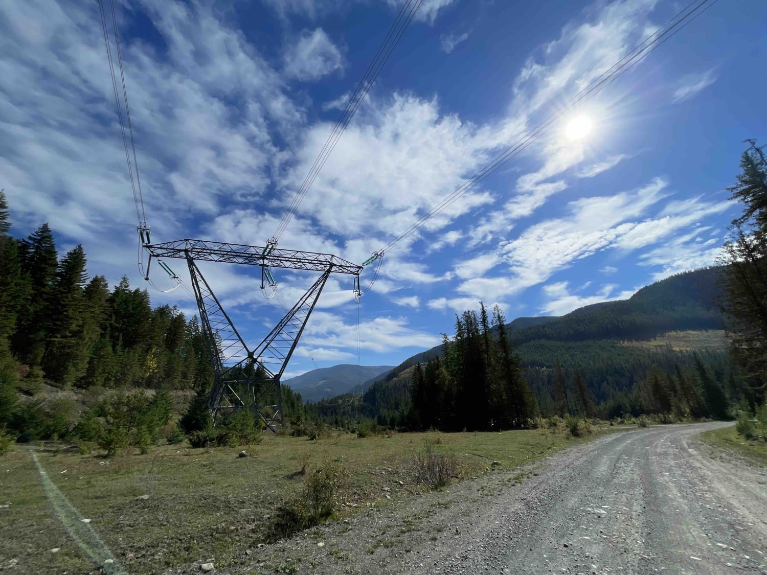
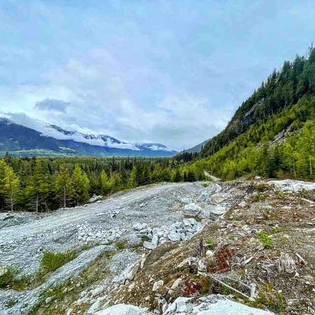
Trail Overview
The Cokato road is an excellent alternative to Hwy 3. The mapped section is a hard-packed gravel. On the North side, you will be on the back side of Fernie residential area, starting at the end of the pavement & on the South side, you will be at the start of the Morrissey Rd/Bridge to access Hwy 3. Be aware that the road gets dusty on dry days. It is a scenic twisty section that follows the valley & the power line. You will view some nice properties to the north, followed by a forested area to the South. You can also access many other trails from it.
Photos of Cokato Rd

Difficulty
Well maintained all year arround & wide enough for 2 vehicles.
Status Reports
Cokato Rd can be accessed by the following ride types:
- High-Clearance 4x4
- SUV
- SxS (60")
- ATV (50")
- Dirt Bike
Cokato Rd Map
Popular Trails
Heckman Creek Road

Klaskino Inlet
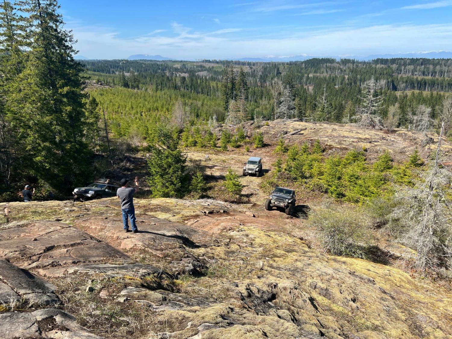
Dasque Road
The onX Offroad Difference
onX Offroad combines trail photos, descriptions, difficulty ratings, width restrictions, seasonality, and more in a user-friendly interface. Available on all devices, with offline access and full compatibility with CarPlay and Android Auto. Discover what you’re missing today!