Dasque Road
Total Kilometers
11.4
Technical Rating
Best Time
Winter, Fall, Summer, Spring
Trail Type
Full-Width Road
Accessible By
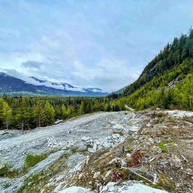
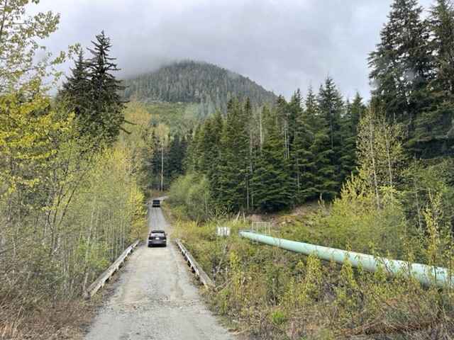
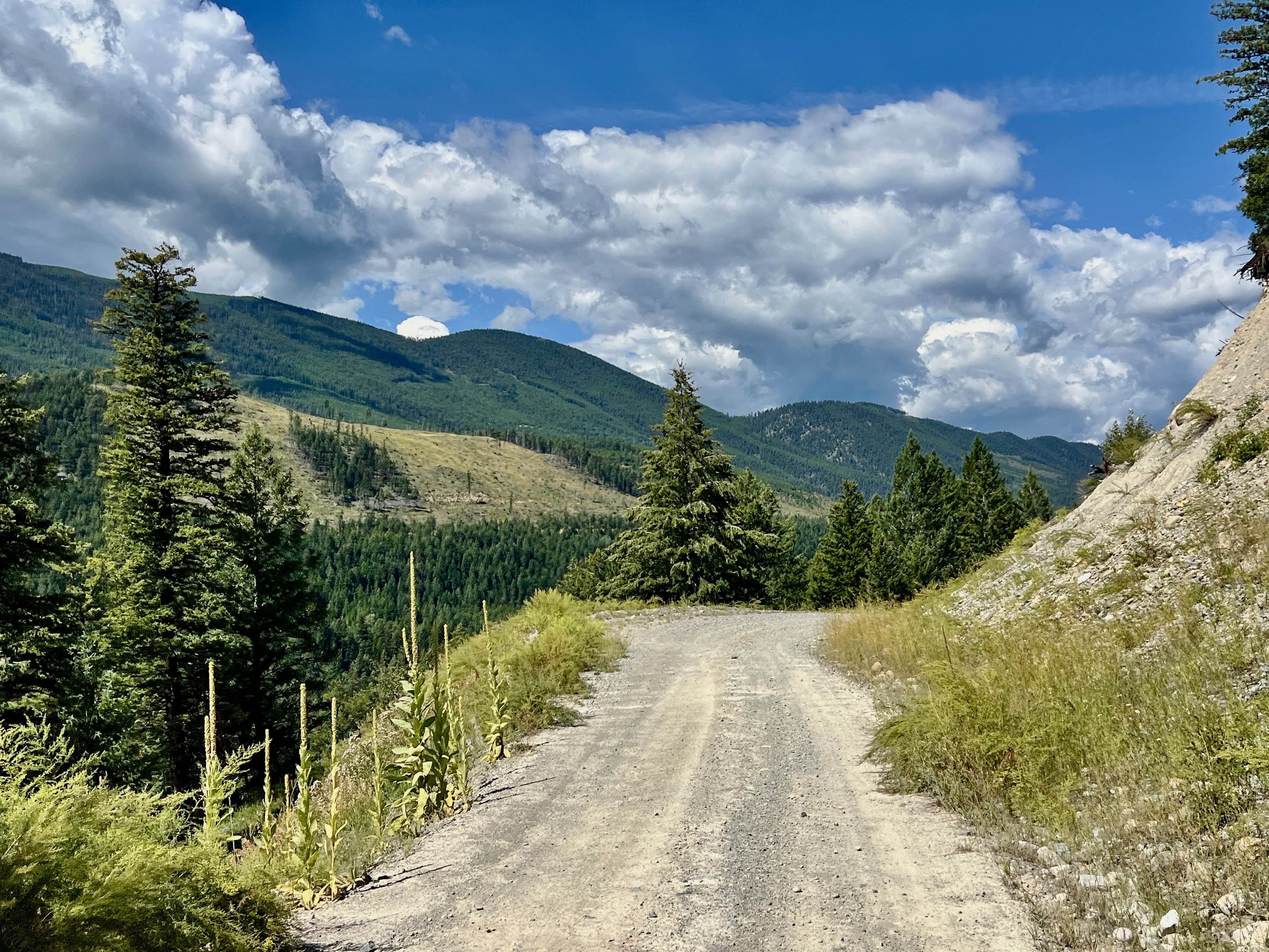
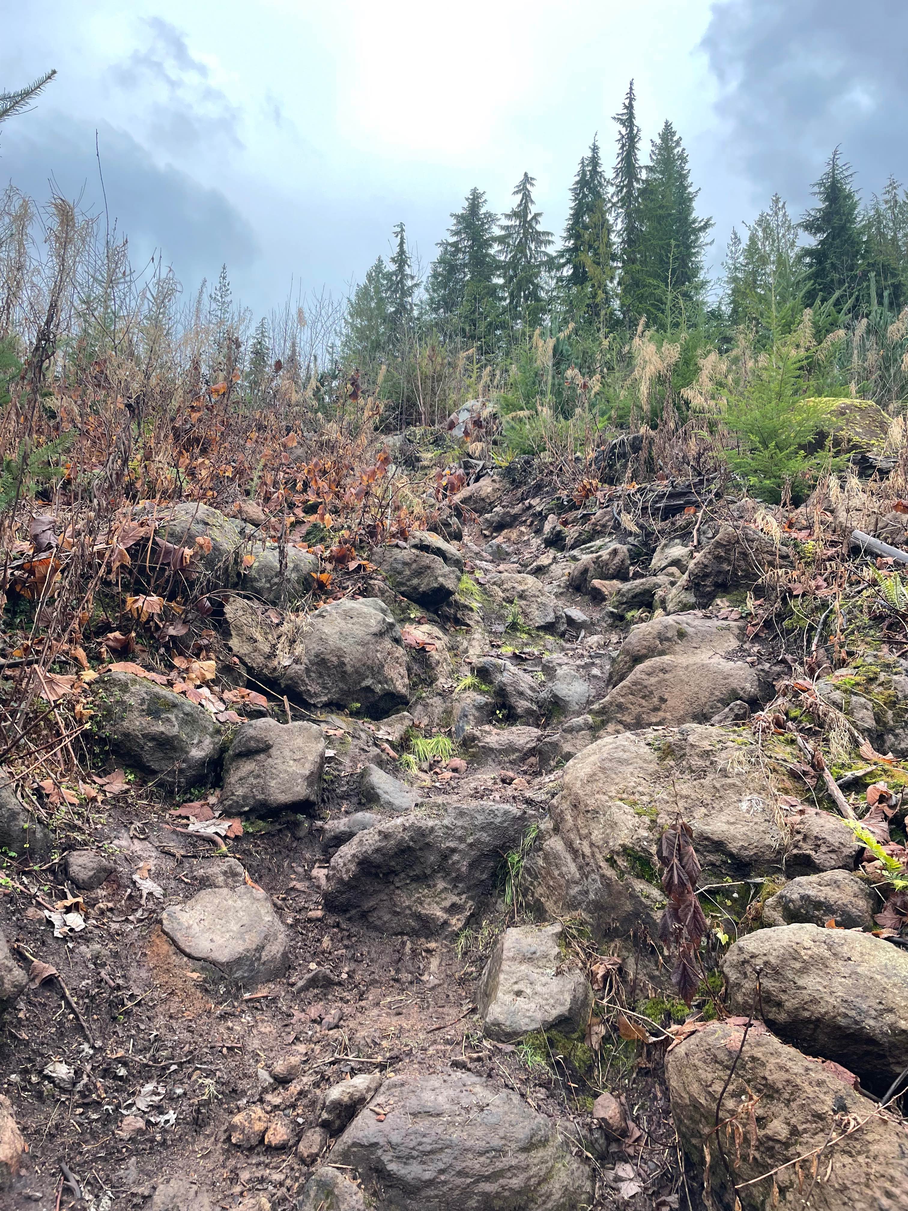
Trail Overview
This route is a spur off of the Whitebottom Road. It is a narrow route with mostly single-lane traffic. There are km markers for using radio communications along the route due to the narrow nature of the road. Most of the route travels alongside the Skeena River as well as a Transmission line where there are a number of small spots to camp or explore. The road ends at a quarry location that could be used for a camping spot with a view.
Photos of Dasque Road
Difficulty
There are some sink holes, washouts and rough terrain that require you to drive slow. there are some tight areas where you can slip off onto the river bank if not careful but overall not to techncial if you are taking your time.
Status Reports
Dasque Road can be accessed by the following ride types:
- High-Clearance 4x4
- SUV
- SxS (60")
- ATV (50")
- Dirt Bike
Dasque Road Map
Popular Trails

Empire Mills
LinkLater Forest Service Road
Steambreather 1

The onX Offroad Difference
onX Offroad combines trail photos, descriptions, difficulty ratings, width restrictions, seasonality, and more in a user-friendly interface. Available on all devices, with offline access and full compatibility with CarPlay and Android Auto. Discover what you’re missing today!