Telkwa 116 Road
Total Kilometers
12.0
Technical Rating
Best Time
Spring, Summer, Winter, Fall
Trail Type
Full-Width Road
Accessible By
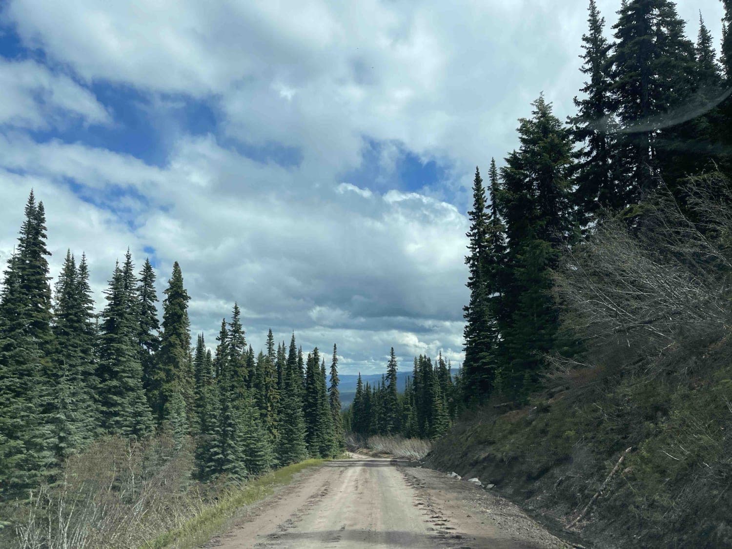
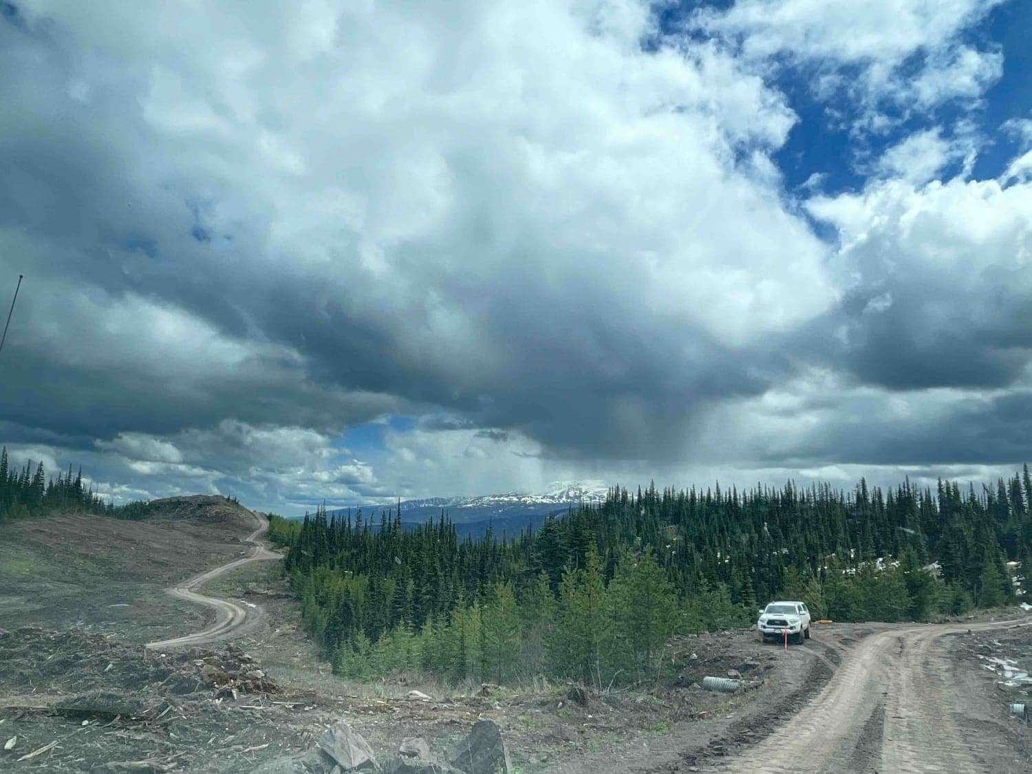
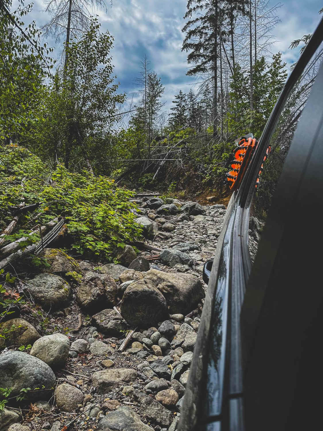
Trail Overview
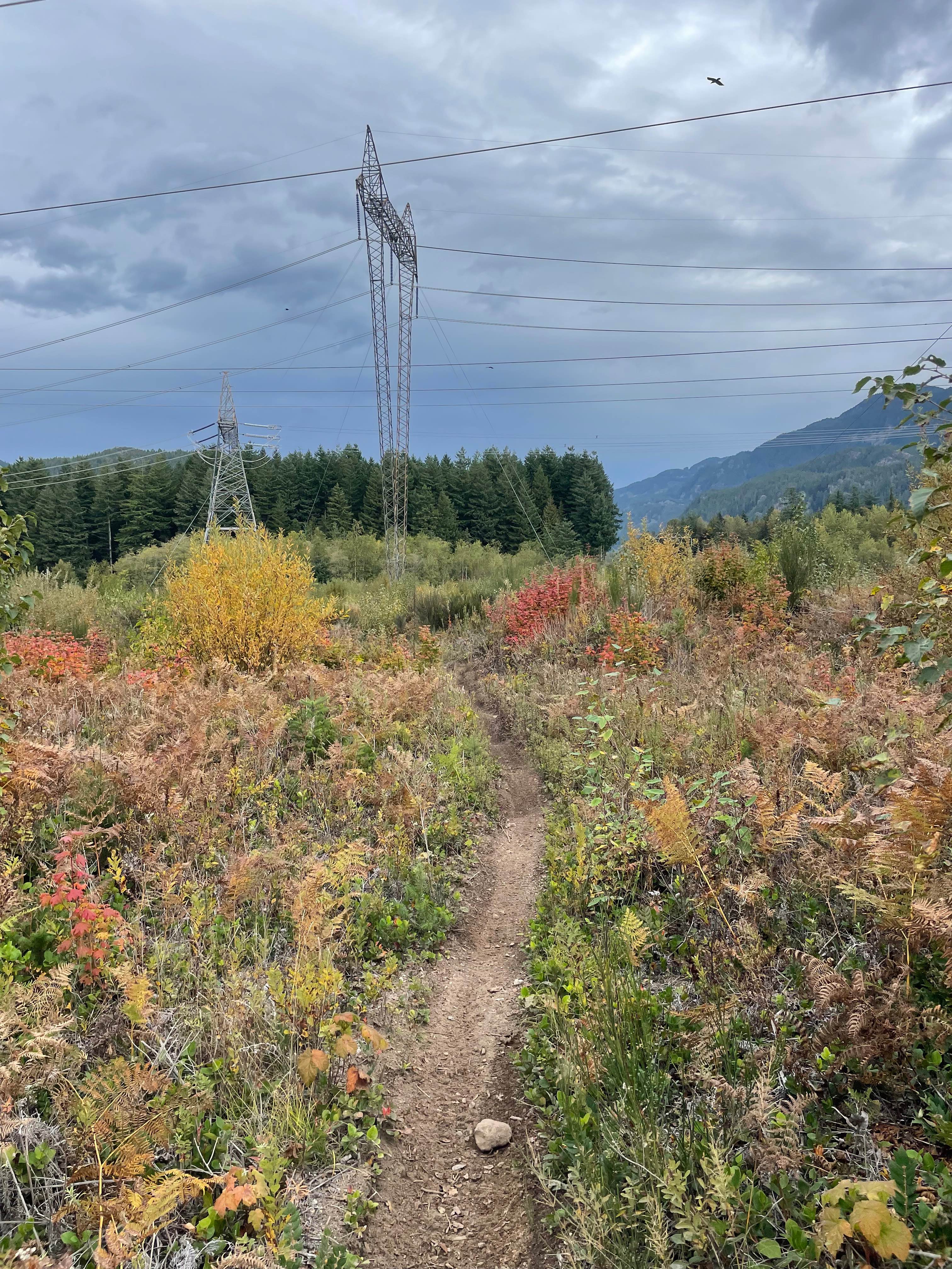
116 Road is a spur off the mainline route that travels up and over a known Ancient Landslide called the "Bulbus Toe". A lot of great views with areas to camp just off the roadway. The area will make for good hunting as well. This road was created to accommodate a transmission line relocation.
Photos of Telkwa 116 Road
Difficulty
road is new and well established but will deteriorate over time once all of the construction in the area is completed.
Status Reports
Telkwa 116 Road can be accessed by the following ride types:
- High-Clearance 4x4
- SUV
- SxS (60")
- ATV (50")
- Dirt Bike
Telkwa 116 Road Map
Popular Trails
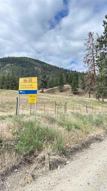
Stirling Creek/Old Joe FSR
Hale Creek "The Hard Way"
Rob's Rip Connector
Nicklen Lake
The onX Offroad Difference
onX Offroad combines trail photos, descriptions, difficulty ratings, width restrictions, seasonality, and more in a user-friendly interface. Available on all devices, with offline access and full compatibility with CarPlay and Android Auto. Discover what you’re missing today!