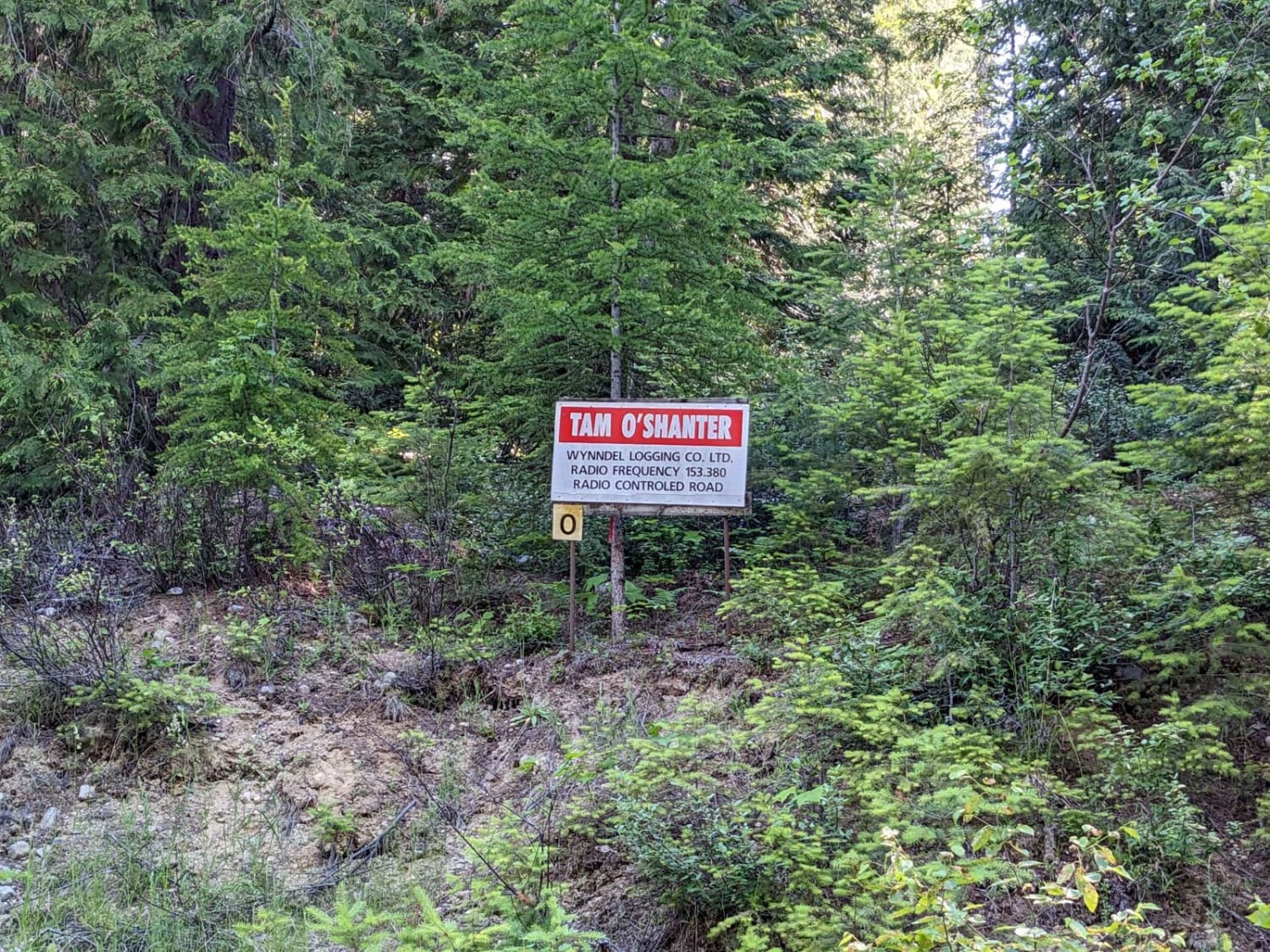
Tam O'Shanter FSR
Total Kilometers
12.9
Technical Rating
Best Time
Summer, Fall
Trail Type
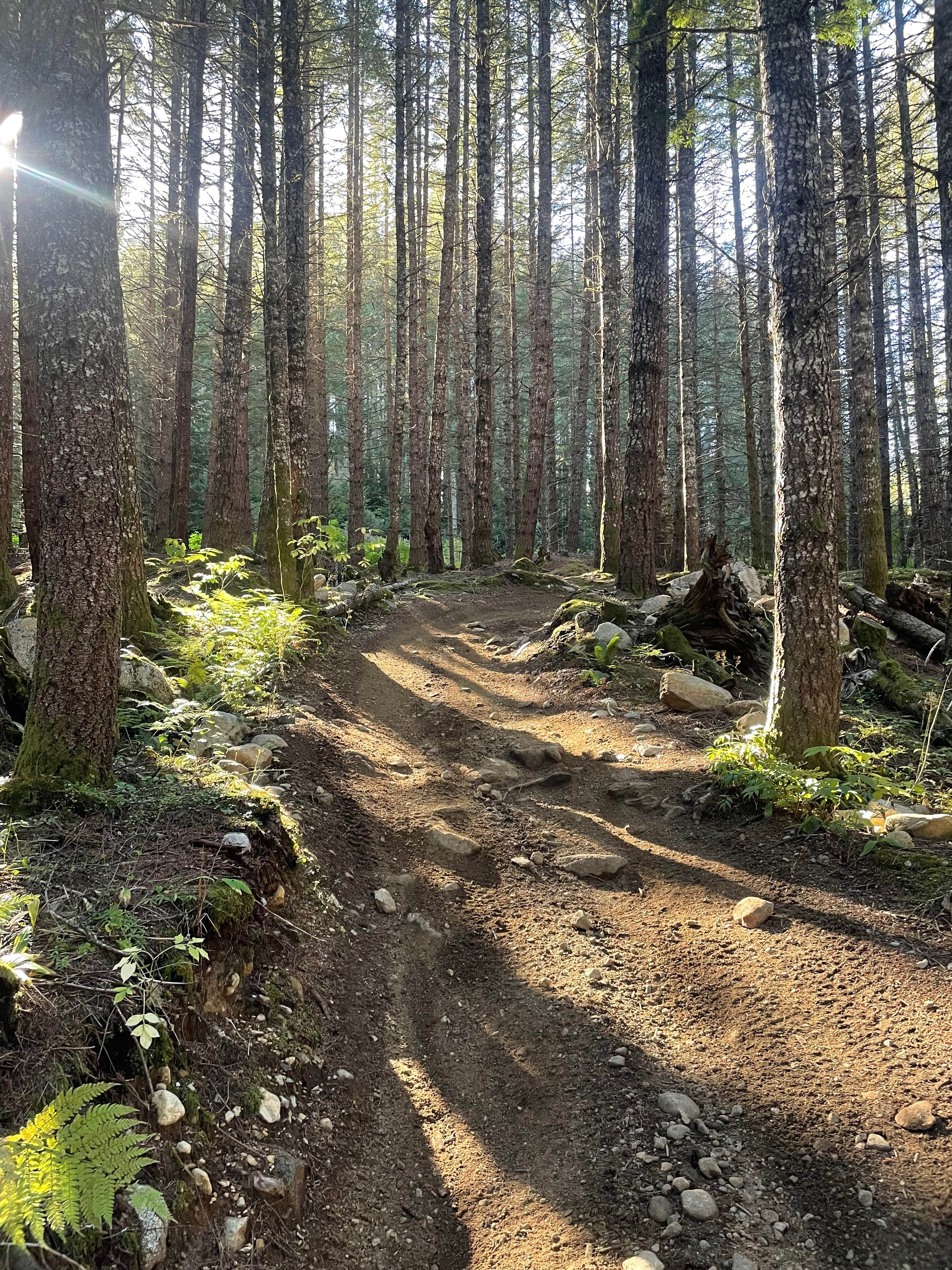
High-Clearance 4x4 Trail
Accessible By
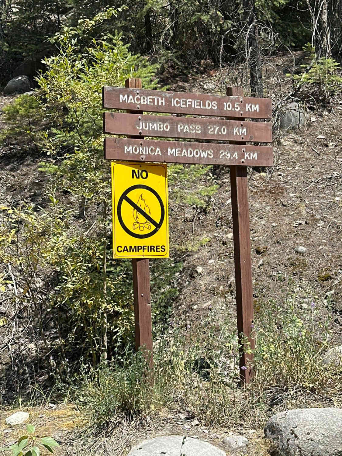
Trail Overview
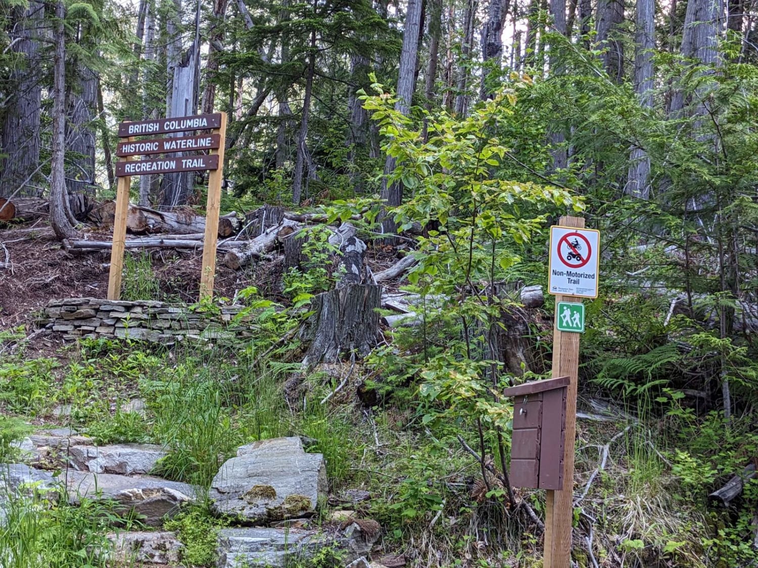
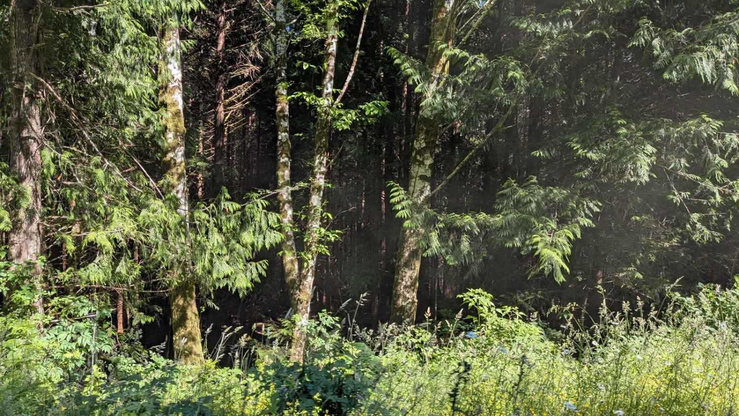
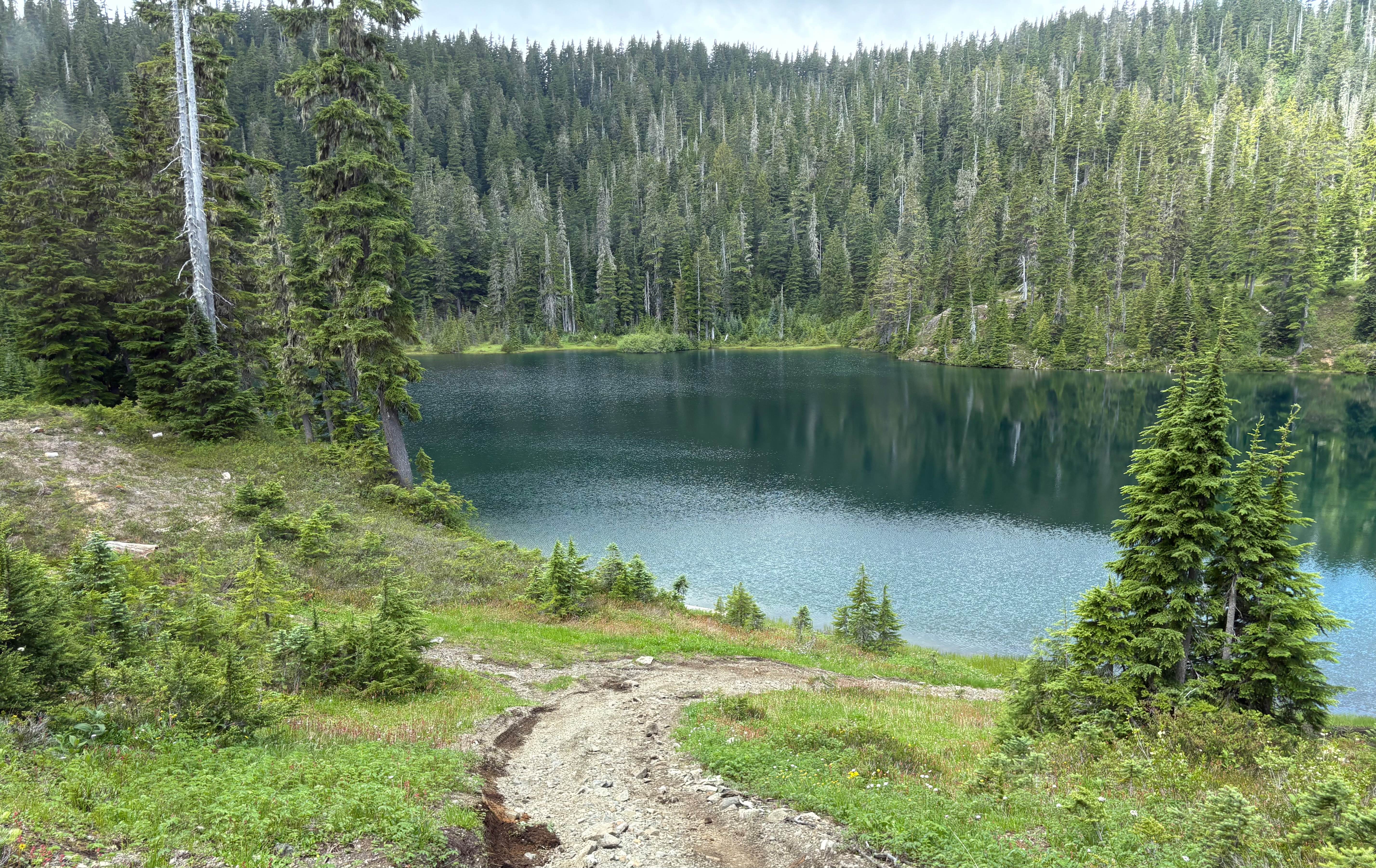
Tam O'Shanter Creek FSR is a steep ascent above the Kootenay Lake with epic views and a scenic hike to an old waterline leftover from mining times. The top of the trail ends around the back of the peak of the mountain providing scenic vistas of the valley behind. Numerous small waterfalls were beside the trail on the way up during runoff. There was some snow in early June in some of the shaded spots, so bring a shovel or wait for warmer weather.
Photos of Tam O'Shanter FSR
Difficulty
Would be very deep snow in winter, so best to attempt in summer/fall. Some water bars near the top.
History
There is an old mining water system that used to provide water to the town of Riondel from Tam O'Shanter Creek.
Status Reports
Tam O'Shanter FSR can be accessed by the following ride types:
- High-Clearance 4x4
- SxS (60")
- ATV (50")
- Dirt Bike
Tam O'Shanter FSR Map
Popular Trails
Gooding Cove
Doubletrack #5
Glacier Creek FSR
The onX Offroad Difference
onX Offroad combines trail photos, descriptions, difficulty ratings, width restrictions, seasonality, and more in a user-friendly interface. Available on all devices, with offline access and full compatibility with CarPlay and Android Auto. Discover what you’re missing today!