J Main
Total Kilometers
8.7
Technical Rating
Best Time
Summer, Fall, Spring
Trail Type
Full-Width Road
Accessible By
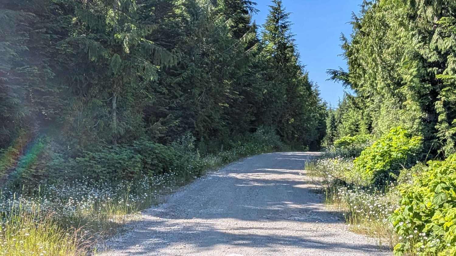
Trail Overview
The J Main Trail combines J Main Road, NC3000A, and NC1000M for a long and scenic route that connects the Atluck Main and Merry Widow Main Trails. It begins just after crossing the bridge on Atluck Main and features a gravel track that winds through a lush, low-canopy forest filled with wildflowers, berry bushes, and dense vegetation. This narrow trail, approximately a vehicle and a half wide, offers a peaceful and immersive drive through vibrant coastal forest scenery. Along the way, you'll pass a picturesque waterfall tucked into the foliage -- a quiet highlight perfect for a short break or photo stop. Though the trail is generally smooth, it does contain many small potholes, so drivers should stay alert and travel at a moderate speed for comfort and safety.
Photos of J Main

Difficulty
While narrow in places, the trail is suitable for most high-clearance vehicles. About one mile into the trail from the Atluck Main side, there is a noticeable dip caused by water erosion. Drivers should slow down and navigate this section carefully to avoid damage. The erosion dip requires no technical expertise, just a bit of vigilance, and the main considerations on this trail are avoiding potholes and yielding to traffic in tighter sections.
Status Reports
J Main can be accessed by the following ride types:
- High-Clearance 4x4
- SUV
- Dirt Bike
J Main Map
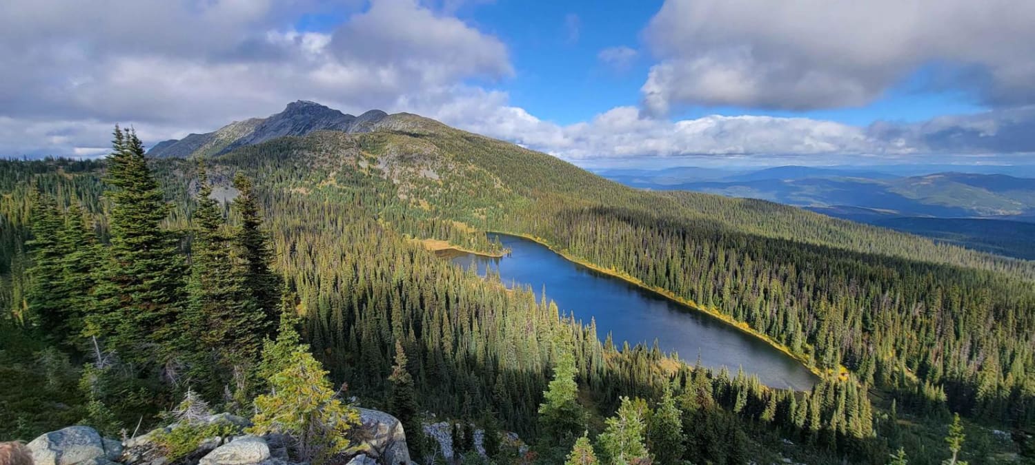
Popular Trails

Moore Lake Main
Lost Airplane Ridge
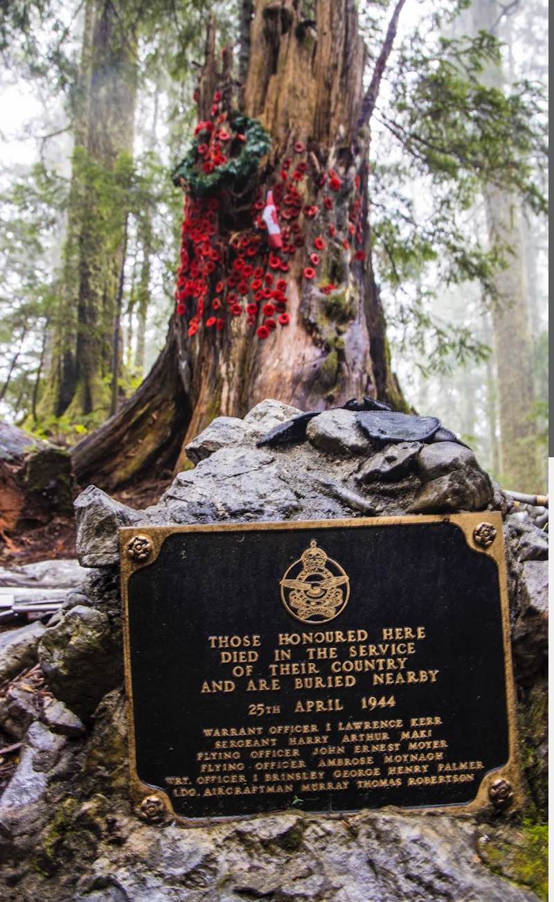
Mount Buldoc Memorial Plane Crash Site
Dead End
The onX Offroad Difference
onX Offroad combines trail photos, descriptions, difficulty ratings, width restrictions, seasonality, and more in a user-friendly interface. Available on all devices, with offline access and full compatibility with CarPlay and Android Auto. Discover what you’re missing today!