Clayton Forest Service Road
Total Kilometers
20.7
Technical Rating
Best Time
Summer, Spring, Fall
Trail Type
Full-Width Road
Accessible By
Trail Overview
The Clayton Forest Service Road (FSR) to Blue Jay Lake, offers a rugged yet rewarding off-roading adventure through some of the most breathtaking rugged mountains in the province. This trail is ideal for those seeking a mix of challenging terrain, stunning views, and mountain lakes. Starting from the valley floor near Bella Coola, the Clayton FSR ascends into the coastal mountains, taking you through dense, old-growth forests. The road is gravel and dirt, with sections that can be muddy or rutted, especially after rain. Water bars are frequent requiring a high clearance 4x4 vehicle. There are a few steep inclines and one off camber corner. The trail is generally one car width wide with spots to pass oncoming vehicles. There are several sets of waterfalls and rivers you will cross over by bridge. As you climb higher, the trees thin out, revealing panoramic views of the surrounding mountains and valleys. The trail is dotted with several viewpoints where you can stop to take in the beauty. The rugged peaks of the Coast Mountains dominate the skyline, often snow-capped even in the summer months. As you approach Blue Jay Lake, the road becomes narrower and more technical, with steep drop-offs and tight switchbacks. Blue Jay Lake itself is a pristine alpine gem, surrounded by towering evergreens and rocky outcrops. The clear, cold waters of the lake are perfect for a refreshing dip or a quiet paddle if you bring a canoe or kayak. There is a recreation site beside the lake with 5 campsites. Wildlife is abundant in this area, so keep an eye out for deer, grizzly and black bears, and various bird species. You will see other vehicles out there but not many, particularly after km 17. There is no cell service so a satellite device is essential in case of emergency. Take the time to air down, you will be happy you did!
Photos of Clayton Forest Service Road


Difficulty
Rated as a 4 due to water bars up to 18" deep, a few steeper sections, and one off camber spot on a corner.
Clayton Forest Service Road can be accessed by the following ride types:
- High-Clearance 4x4
- SUV
- SxS (60")
- ATV (50")
- Dirt Bike
Clayton Forest Service Road Map
Popular Trails
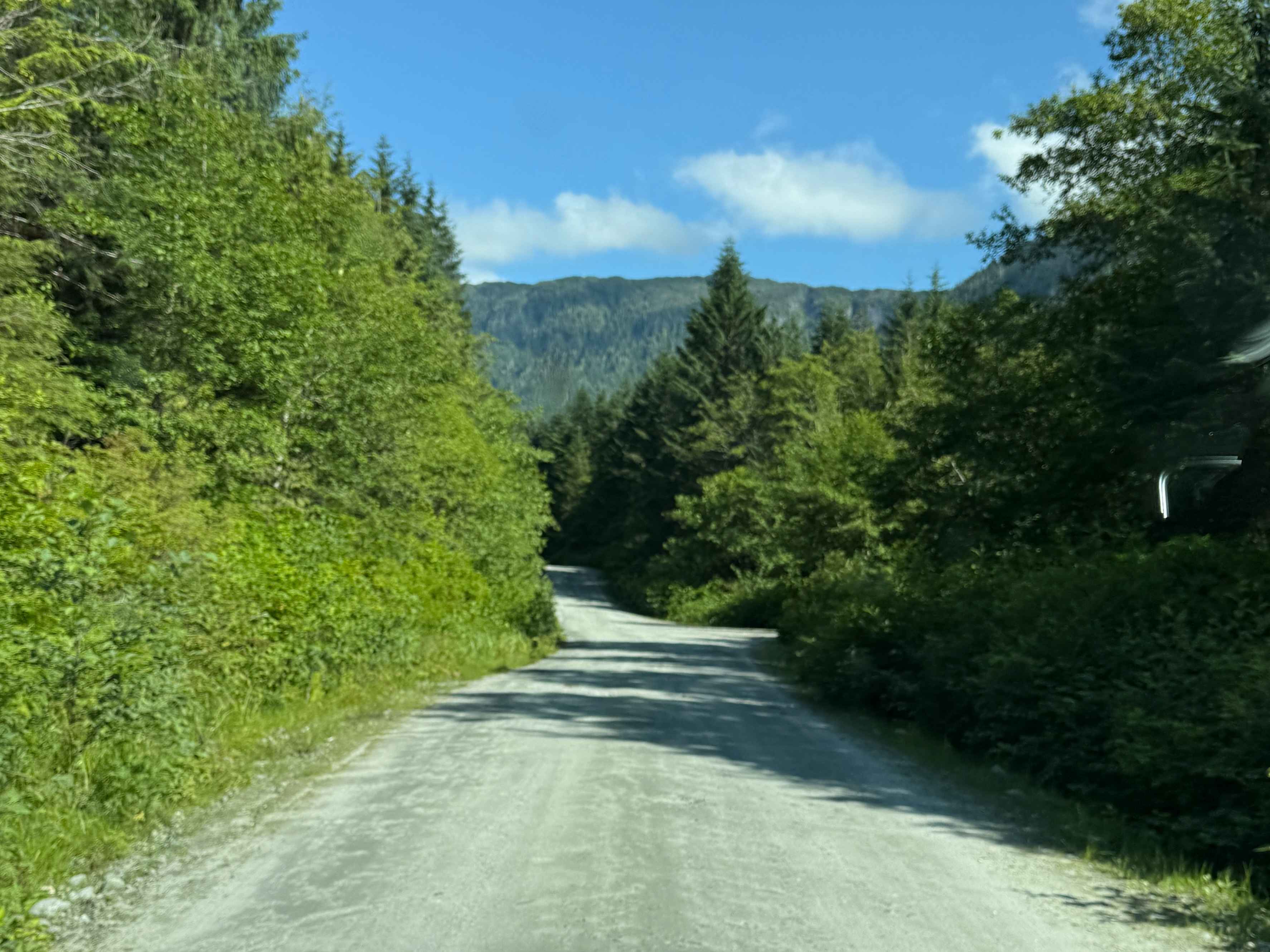
Work Channel Road
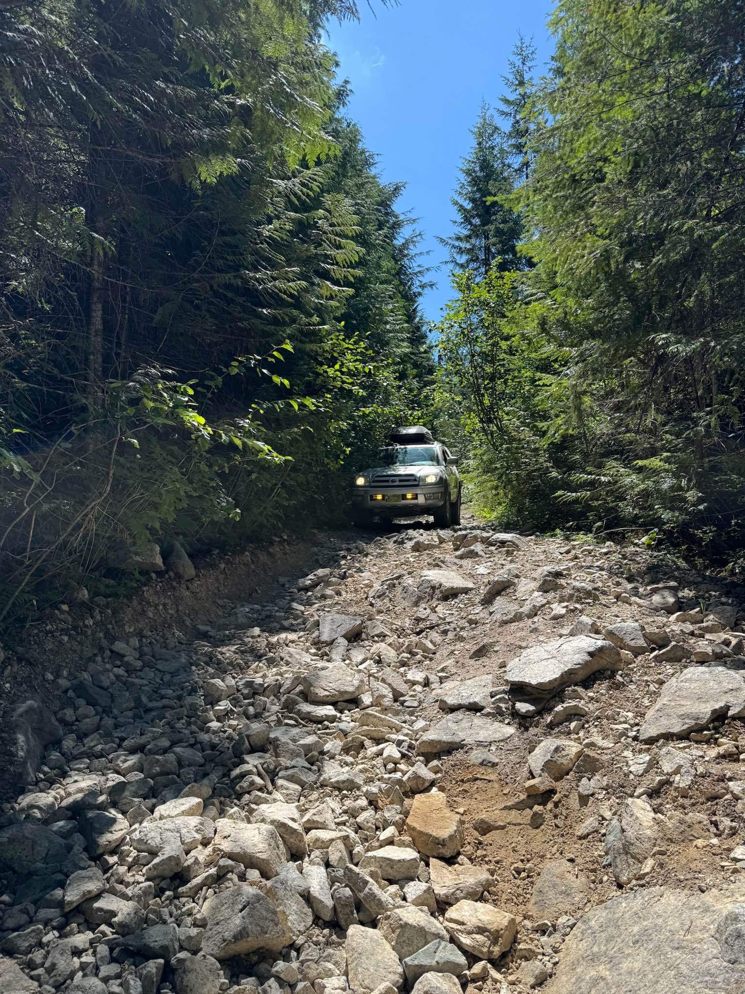
Richardson Lake Trail
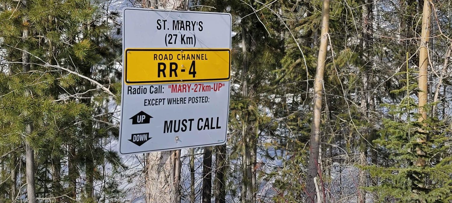
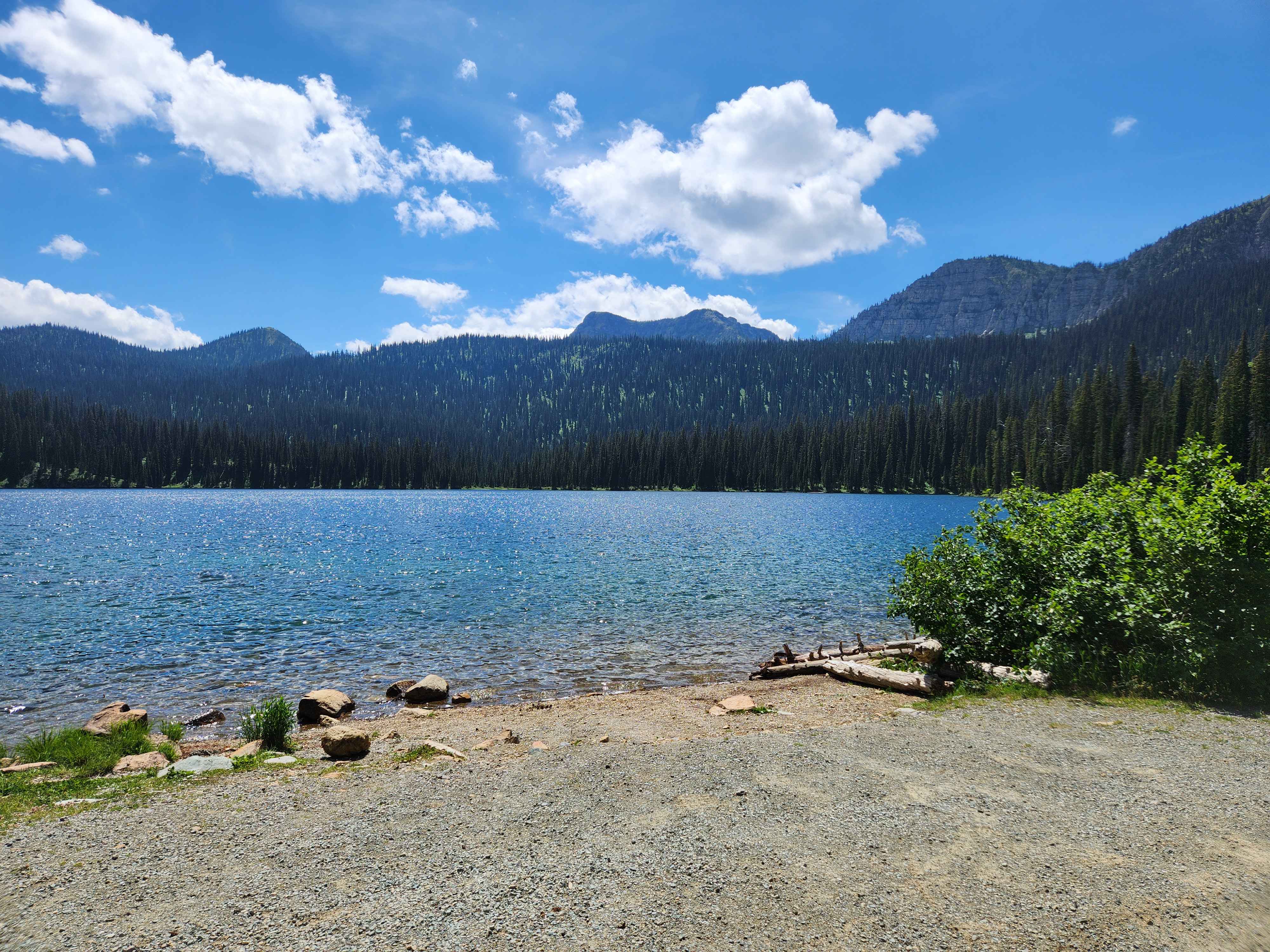
Big Therriault Lake
The onX Offroad Difference
onX Offroad combines trail photos, descriptions, difficulty ratings, width restrictions, seasonality, and more in a user-friendly interface. Available on all devices, with offline access and full compatibility with CarPlay and Android Auto. Discover what you’re missing today!