Bridal Falls FSR
Total Kilometers
8.2
Technical Rating
Best Time
Summer, Fall
Trail Type
Full-Width Road
Accessible By
Trail Overview
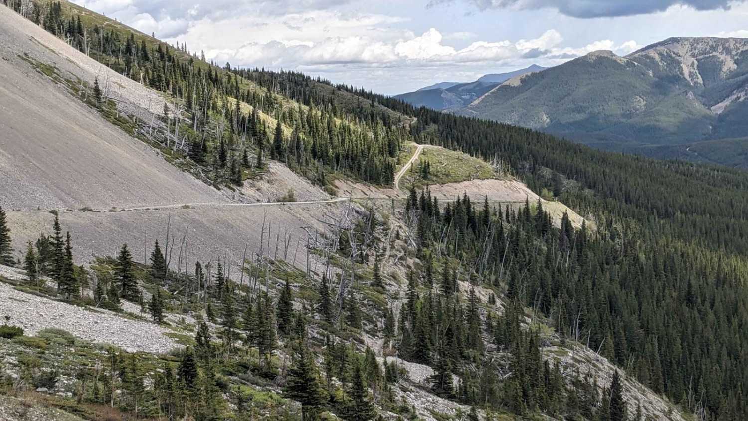
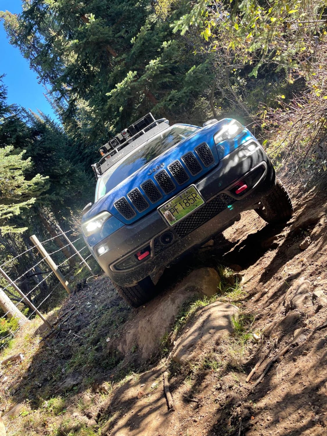
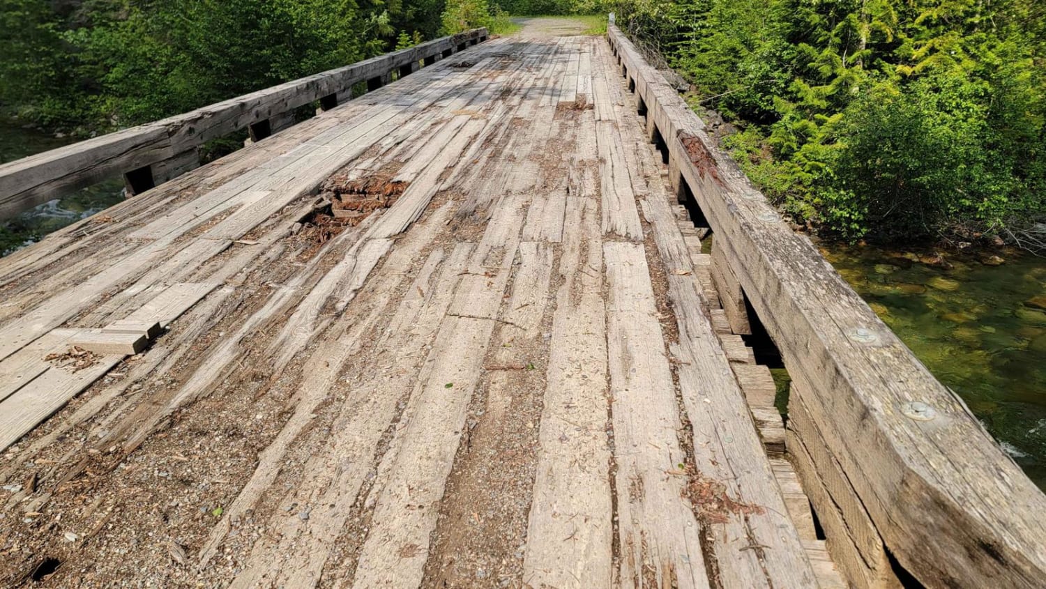
Bridal Falls FSR is a fairly steep and rough route. 4x4 is a definite requirement as the road is unmaintained and with lots of loose rock and deep cross ditches. Vehicles can only go 3/4 of the way due to a landslide that happened in the 80's. After the landslide, the trail is open to hiking or dirtbike only.
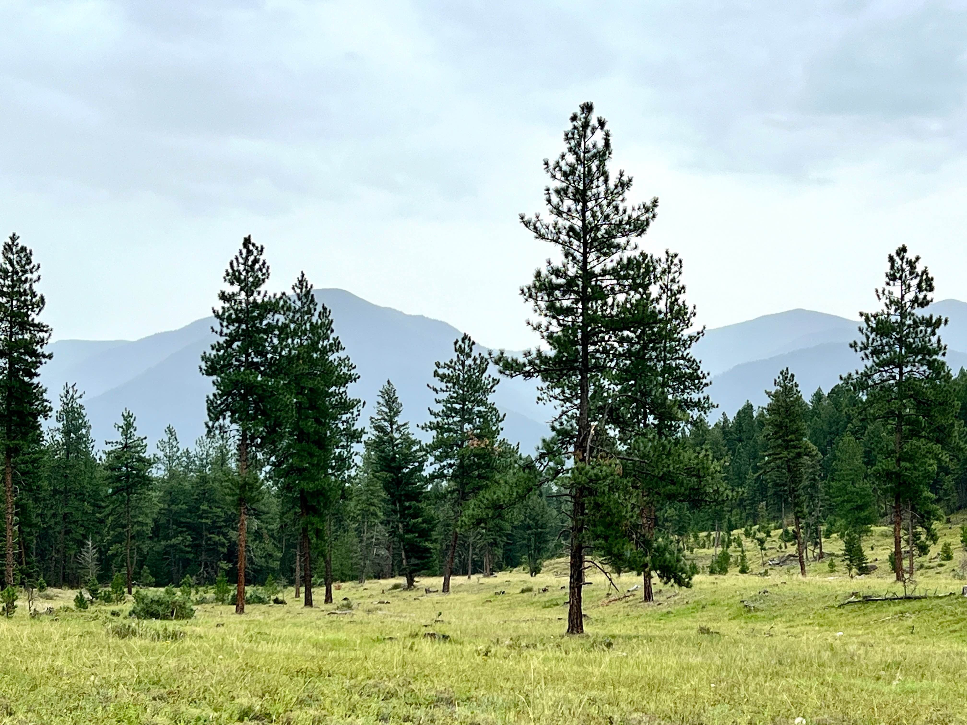
Photos of Bridal Falls FSR


Difficulty
The last third portion of the trail is open to hiking or dirtbike only due to a landslide
Bridal Falls FSR can be accessed by the following ride types:
- High-Clearance 4x4
- SUV
- SxS (60")
- ATV (50")
- Dirt Bike
Bridal Falls FSR Map
Popular Trails
RaceHorse Creek Pass
Tight Short Cut
Goat River To Kamma Creek FSR
The onX Offroad Difference
onX Offroad combines trail photos, descriptions, difficulty ratings, width restrictions, seasonality, and more in a user-friendly interface. Available on all devices, with offline access and full compatibility with CarPlay and Android Auto. Discover what you’re missing today!