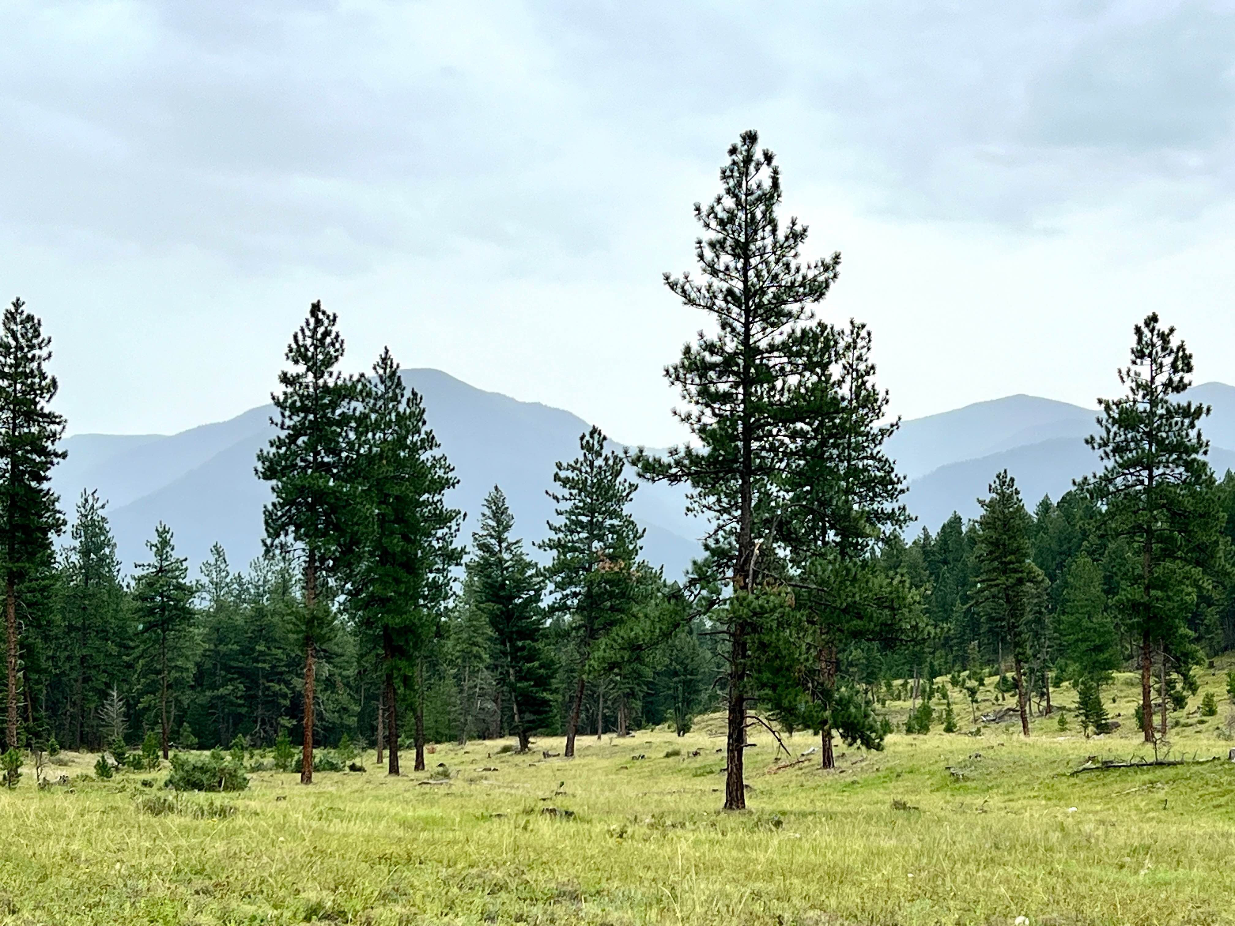
Grassy Meadows
Total Kilometers
3.4
Technical Rating
Best Time
Summer
Trail Type
Full-Width Road
Accessible By
Trail Overview
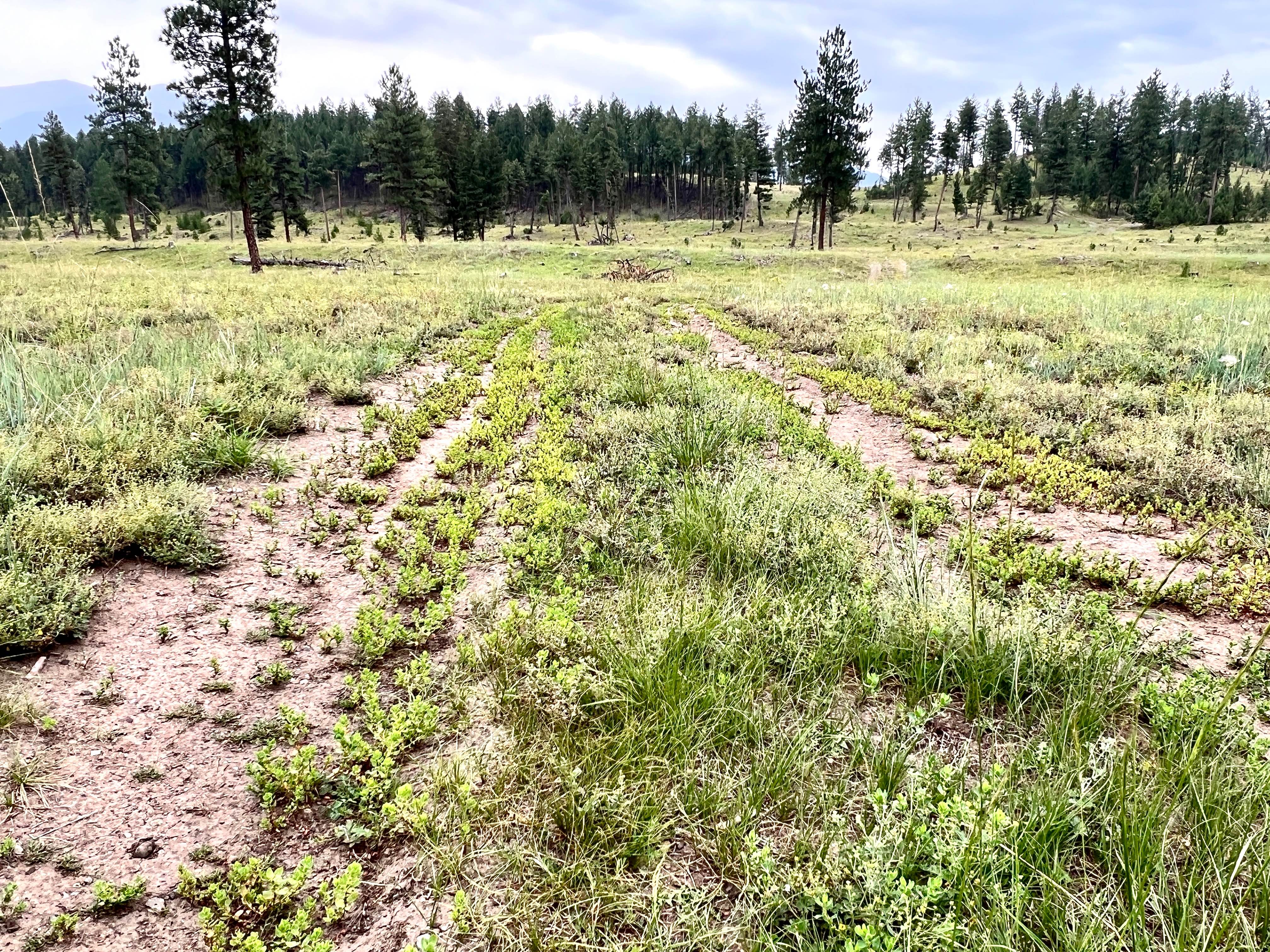
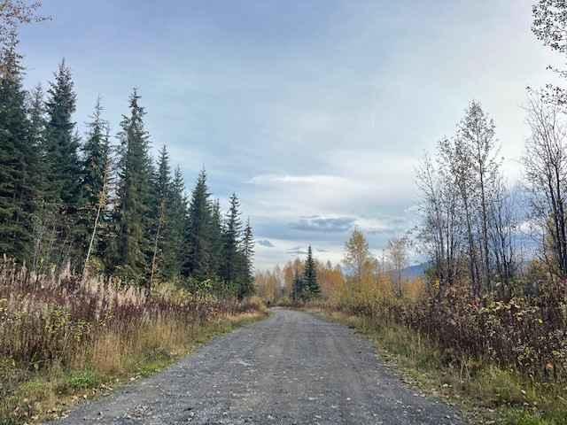
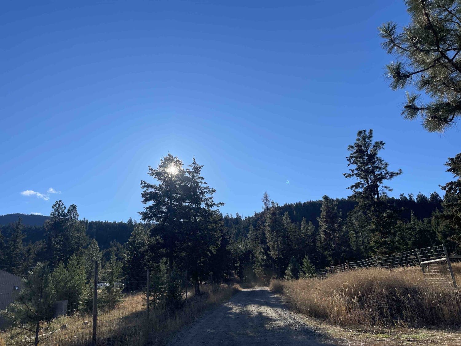
Grassy Meadows offers an easy and scenic cruise, primarily along well-defined two-track trails that traverse vast meadows of former forest clearcuts. While the trail itself presents minimal technical difficulty, the panoramic mountain views that punctuate the treeline are truly stunning. Though not challenging, the trail can be quite bumpy. Be vigilant for wildlife, vibrant wildflowers (in season), and free-ranging cattle along the route. At the northern end of the trail, a large mud hole may become impassable during the wet season. Exercise caution in this area. Remember, stopping in grassy areas poses a fire risk. Cell Service: Cell service in the Lake Koocanusa area can be intermittent. To ensure you have consistent map coverage, please download your offline maps before exploring the area. Crown Land Camping: Canadian Crown land is open to Canadian residents for free camping. Out-of-country visitors, particularly from the US, will need to obtain a camping permit from the nearest FrontCounter BC office in Cranbrook before camping on Crown land if camping outside of the paid campsite. This is part of the Koocanusa Recreation Management Area (KRMA). Be aware of and adhere to all regulations within the Koocanusa Recreation Management Area. There are staging areas within the KRMA with kiosks and maps outlining all of the trails and the regulations. ATV and Dirt bike-specific trails are listed on the map.
Photos of Grassy Meadows
Difficulty
This is a bumpy, rutted, and narrow off-road trail. A large mud hole at the northern end may be impassable during the wet season.
History
The Grassy Meadows area, situated within the Koocanusa Recreation Management Area, reflects a history of resource extraction and land management practices. The open meadows are a testament to past logging activities, while the area's current designation as a recreation management area signifies a shift towards balancing resource use with recreational opportunities. The Ktunaxa (Kootenai) people have a long-standing connection to this land, and their traditional knowledge informs contemporary approaches to land stewardship. The Koocanusa Recreation Management Area was established to manage and enhance recreational opportunities in the Lake Koocanusa area while protecting natural resources. The KRMA encompasses a large area of Crown land and offers a wide range of recreational activities, including camping, hiking, boating, fishing, and off-roading. The KRMA is managed by the British Columbia Ministry of Forests, Lands, Natural Resource Operations and Rural Development. It is important to check their website for any closures or restrictions.
Status Reports
Grassy Meadows can be accessed by the following ride types:
- High-Clearance 4x4
- SUV
- SxS (60")
- ATV (50")
- Dirt Bike
Grassy Meadows Map
Popular Trails
Cassy Road
PostHill Lake
Pinaus Lake to Tuktakamin Lookout

Ripple Ridge
The onX Offroad Difference
onX Offroad combines trail photos, descriptions, difficulty ratings, width restrictions, seasonality, and more in a user-friendly interface. Available on all devices, with offline access and full compatibility with CarPlay and Android Auto. Discover what you’re missing today!