Pinaus Lake to Tuktakamin Lookout
Total Kilometers
14.0
Technical Rating
Best Time
Spring, Summer, Fall, Winter
Trail Type
Full-Width Road
Accessible By
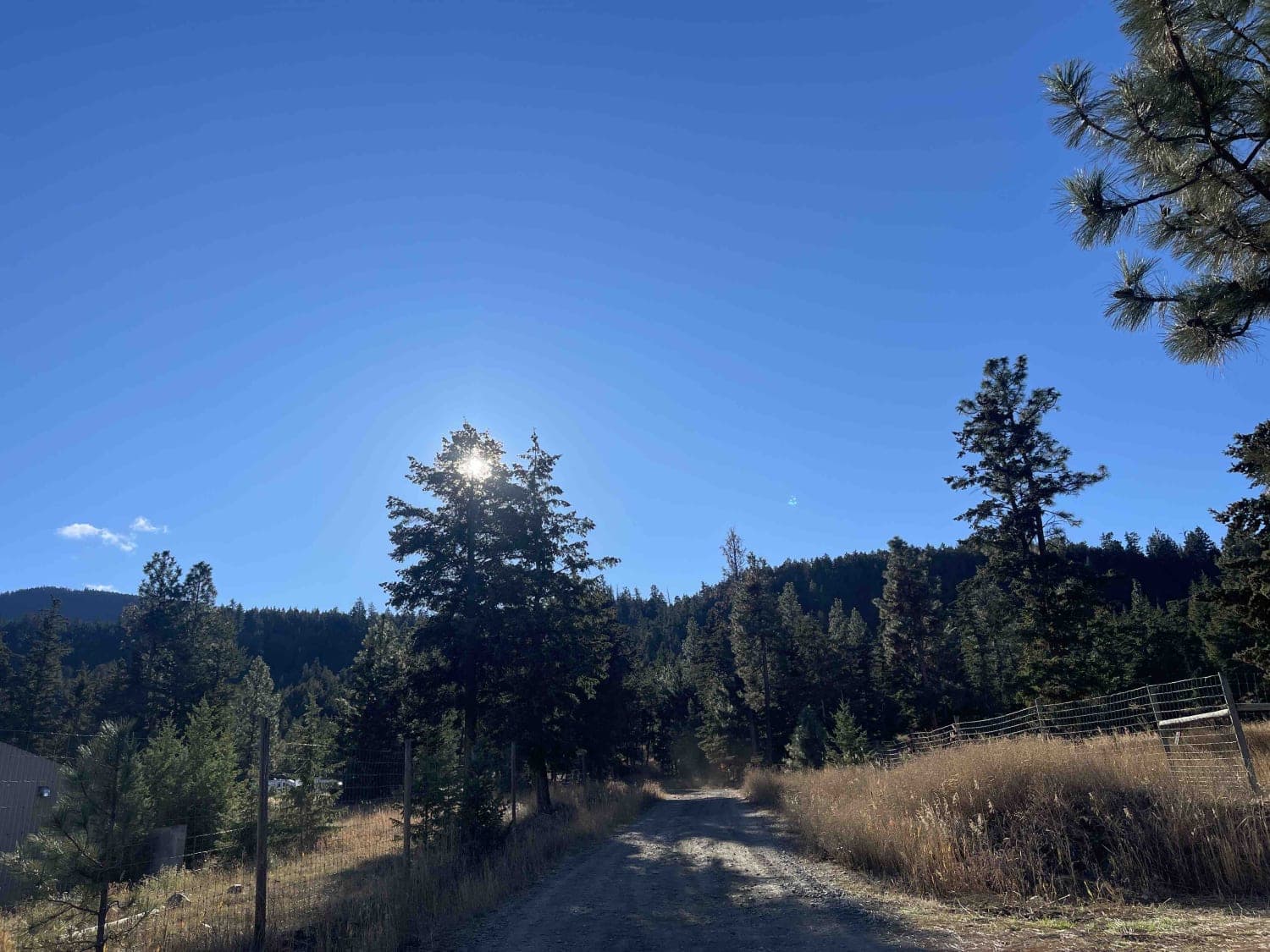
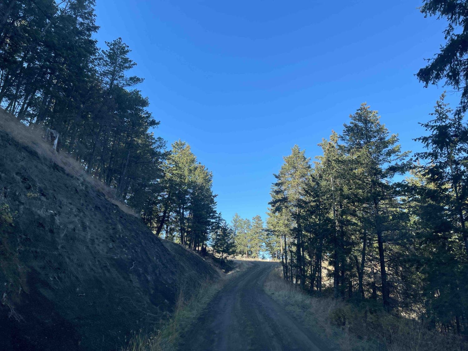
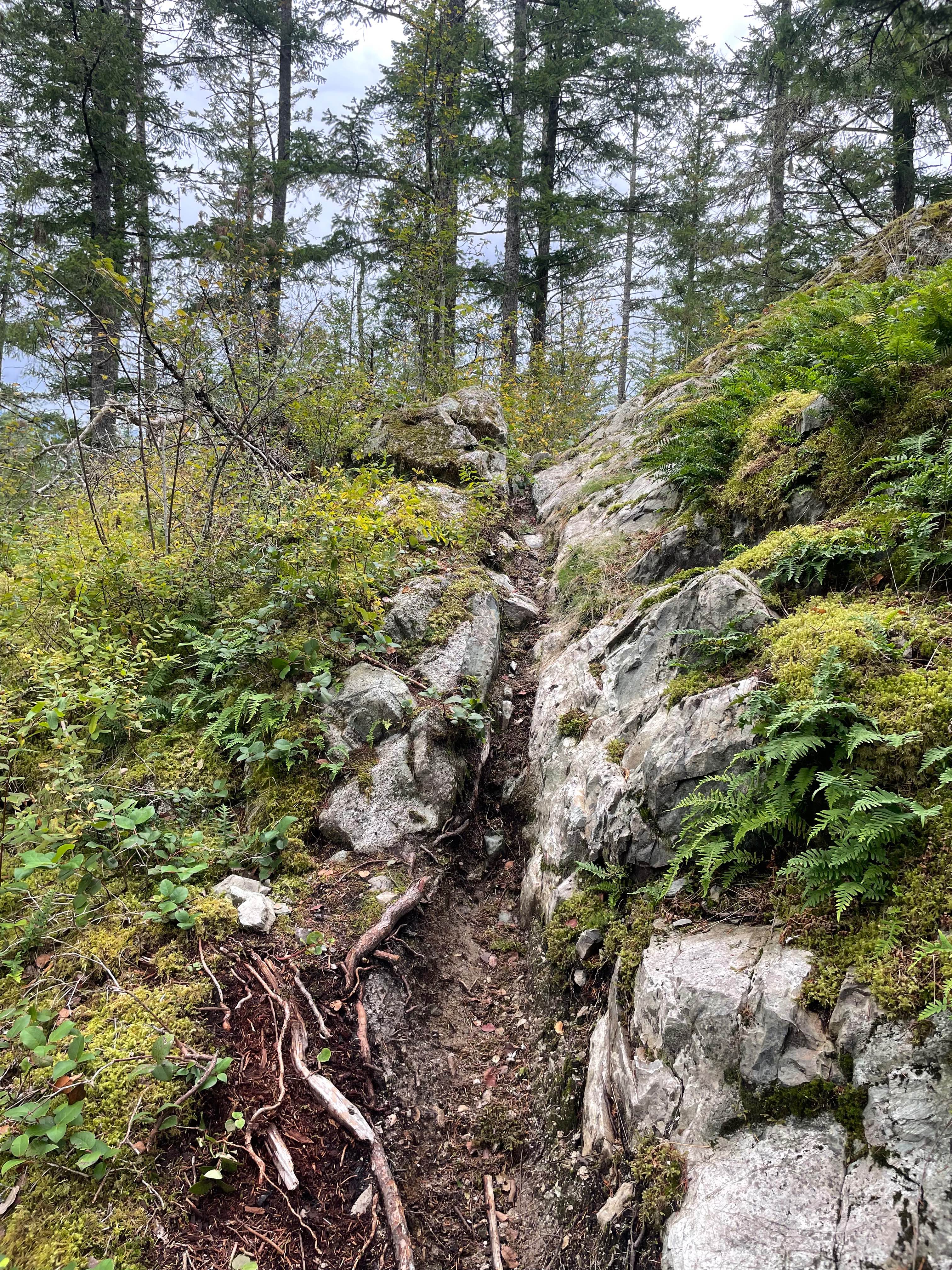
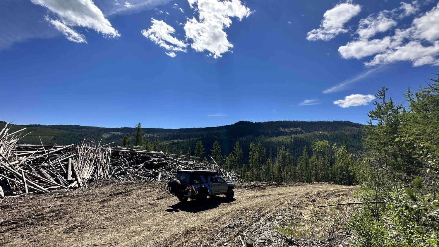
Trail Overview
Pinaus Road can take you to a number of different routes. This one branches off and climbs up to the Cell tower site that provides a beautiful view of the surrounding valley. There is a 360-degree view from the lookout and it is fairly easy to access even in the fall and possibly the winter months. There is a large platform that can be used for a ground tent although it may be a Heli Pad access for any operations. It is a great place to stop and enjoy lunch or even camp out overnight and watch the sunset.
Photos of Pinaus Lake to Tuktakamin Lookout
Difficulty
Road is in fairly good shape and seems to be maintained as there are cell towers and telecom stations located at the top.
Status Reports
Pinaus Lake to Tuktakamin Lookout can be accessed by the following ride types:
- High-Clearance 4x4
- SUV
- SxS (60")
- ATV (50")
- Dirt Bike
Pinaus Lake to Tuktakamin Lookout Map
Popular Trails
Sprocket Eater

Mitten Mainline

Granite Dunes
Bonneau FSR
The onX Offroad Difference
onX Offroad combines trail photos, descriptions, difficulty ratings, width restrictions, seasonality, and more in a user-friendly interface. Available on all devices, with offline access and full compatibility with CarPlay and Android Auto. Discover what you’re missing today!