Goat River To Kamma Creek FSR
Total Kilometers
17.2
Technical Rating
Best Time
Summer, Spring, Fall
Trail Type
Full-Width Road
Accessible By
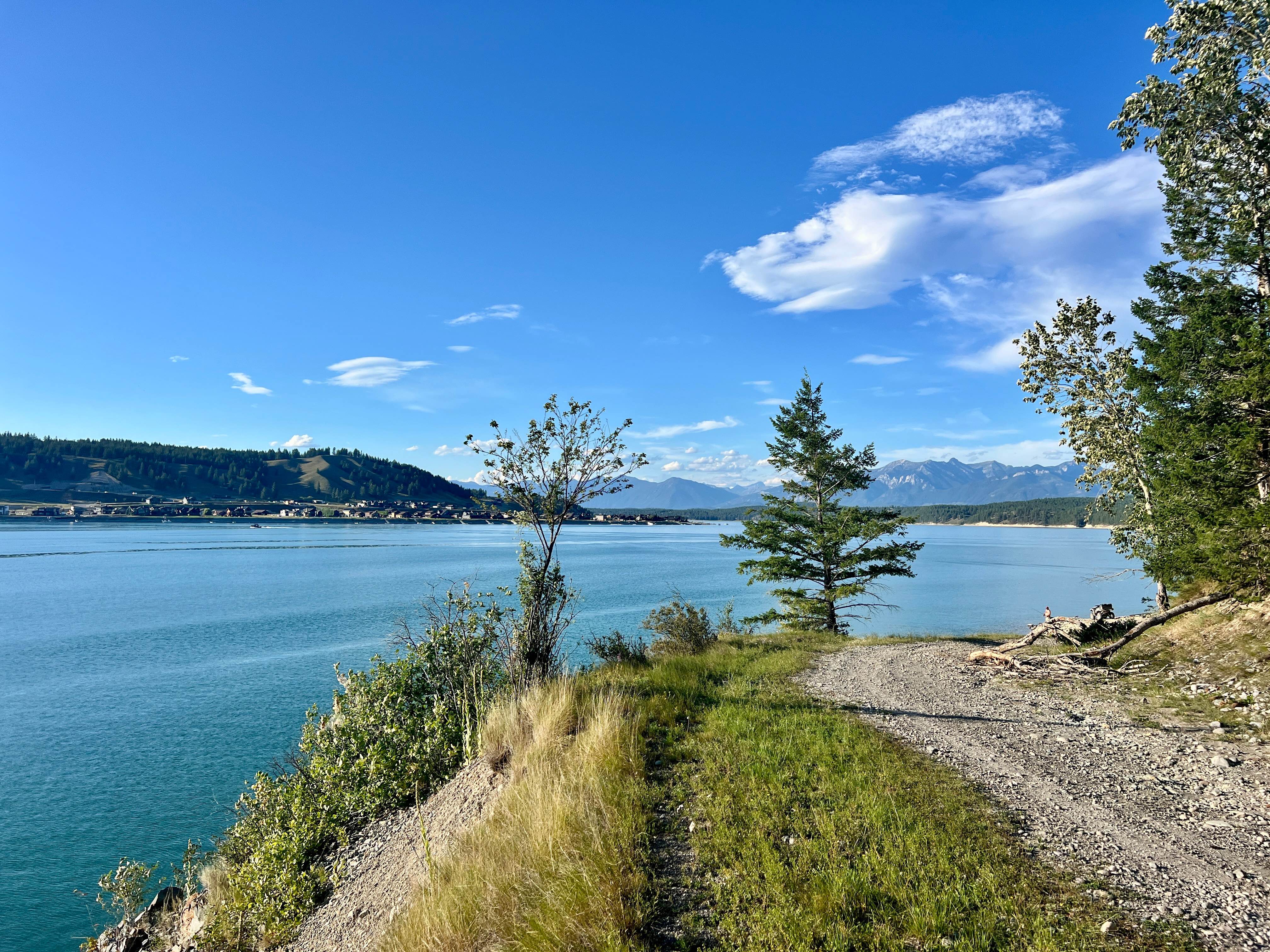
Trail Overview
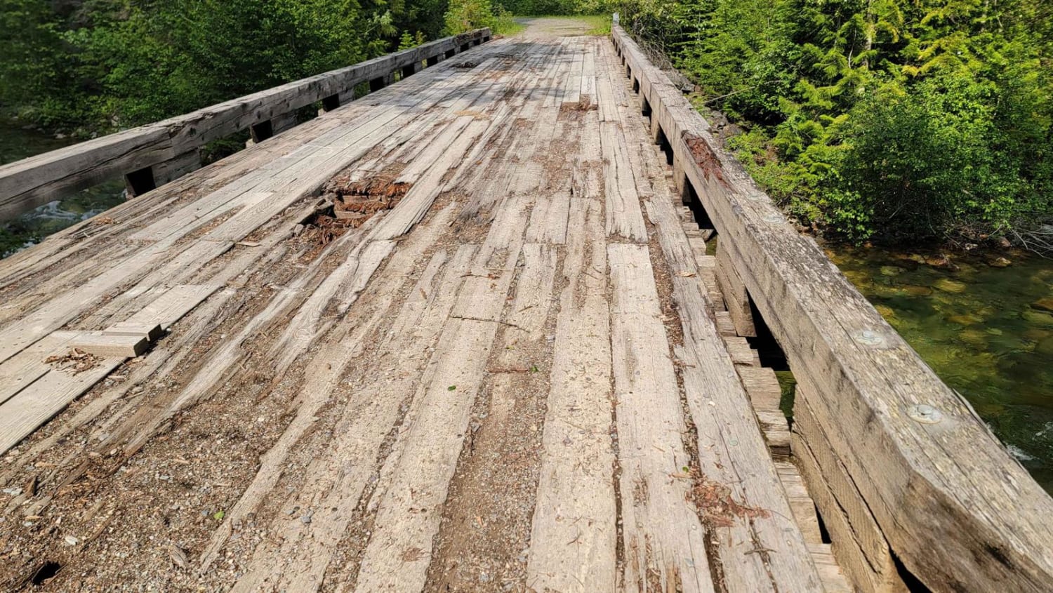
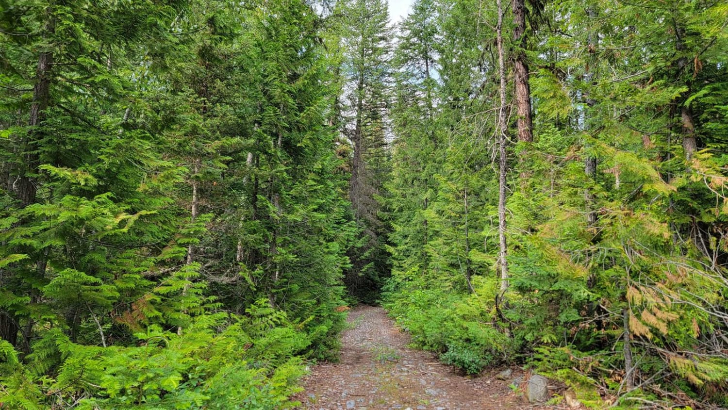
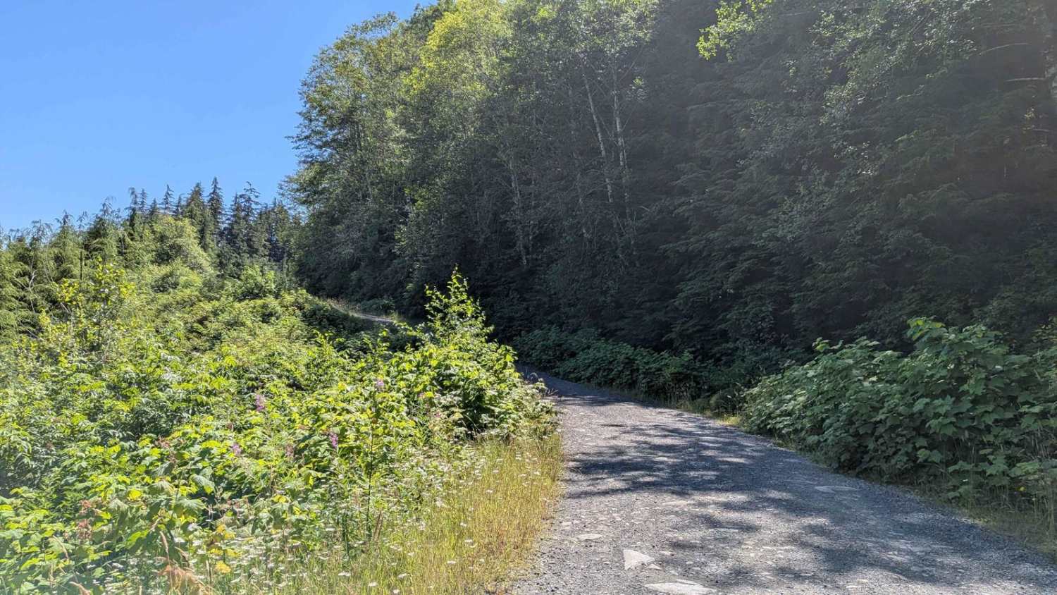
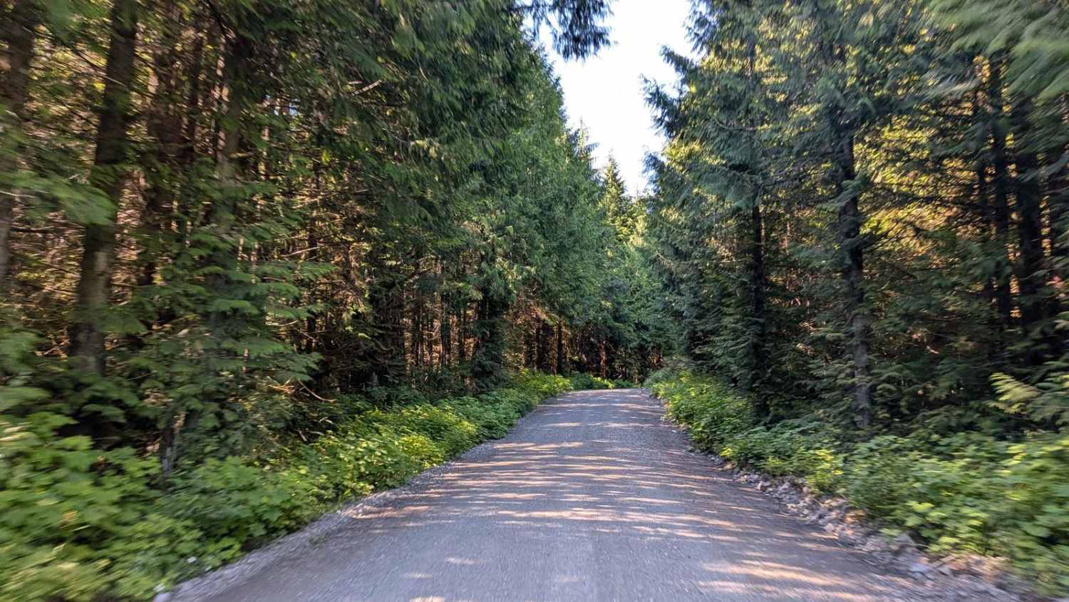
Starting off at the Goat River FSR Leadville Branch at approximately 8km down the Goat River FSR, follow this track alongside the Goat River. There are plenty of turn-offs that you can drive down to the river along the way. The road is a gravel dirt road that can be rough in some spots, with a few slide areas along the way, so watch for big falling rocks. This track will take you to the "Closed Bridge" which is in bad shape. Crossing the bridge is recommended for ATV only, crossing the bridge will take you further along the Kamma Creek FSR.
Photos of Goat River To Kamma Creek FSR
Difficulty
This trail is pretty rough in sections, with big pot holes and loose gravel. potential for fallen trees and rock slides in some sections.
Status Reports
Goat River To Kamma Creek FSR can be accessed by the following ride types:
- High-Clearance 4x4
- SUV
Goat River To Kamma Creek FSR Map
Popular Trails
Cayuse Main
Merry Widow Main
Grasmere Dorr Road
Naka Creek Main
The onX Offroad Difference
onX Offroad combines trail photos, descriptions, difficulty ratings, width restrictions, seasonality, and more in a user-friendly interface. Available on all devices, with offline access and full compatibility with CarPlay and Android Auto. Discover what you’re missing today!