Blood Fart
Total Kilometers
18.7
Technical Rating
Best Time
Spring, Summer
Trail Type
High-Clearance 4x4 Trail
Accessible By
Trail Overview
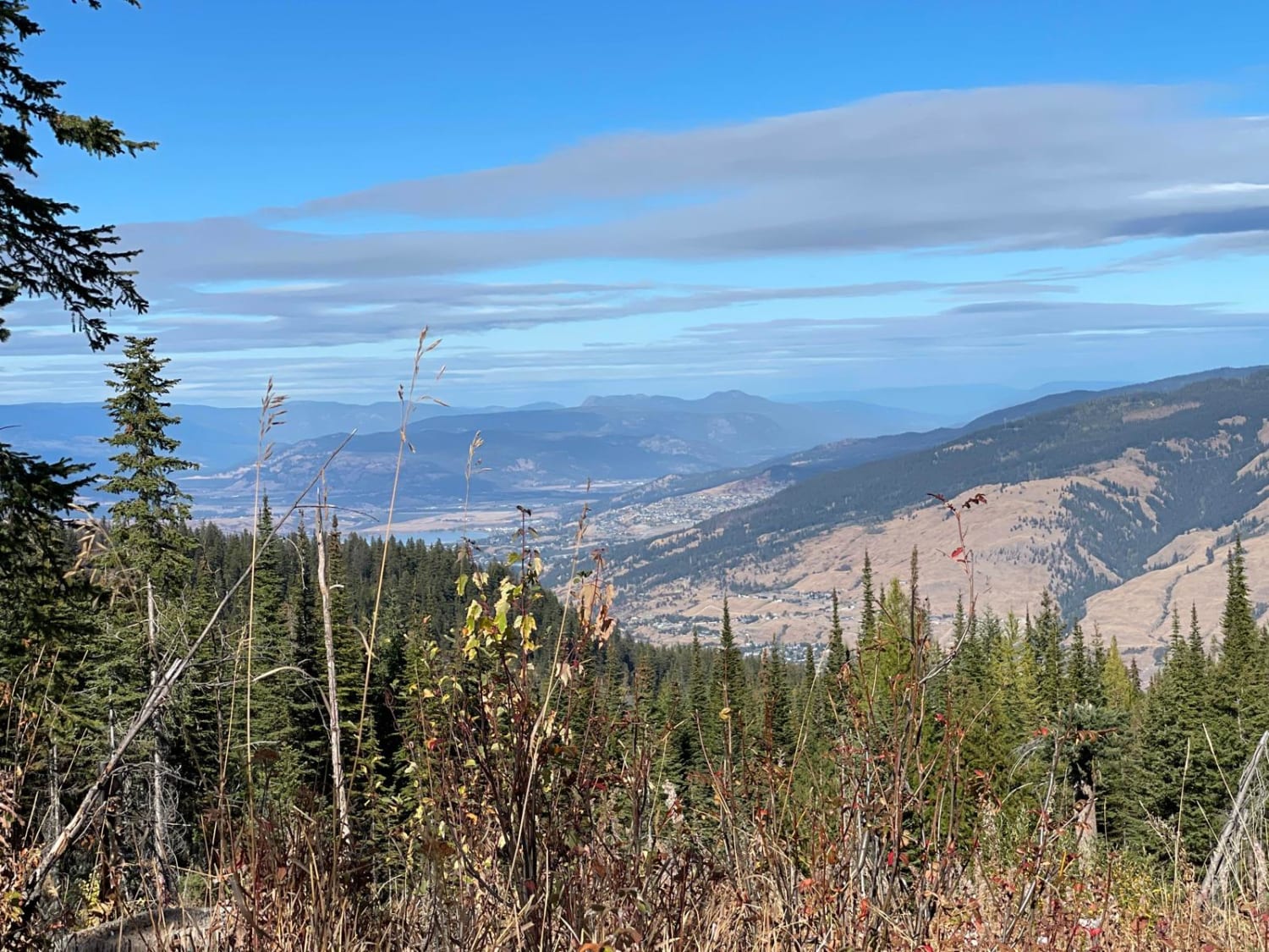
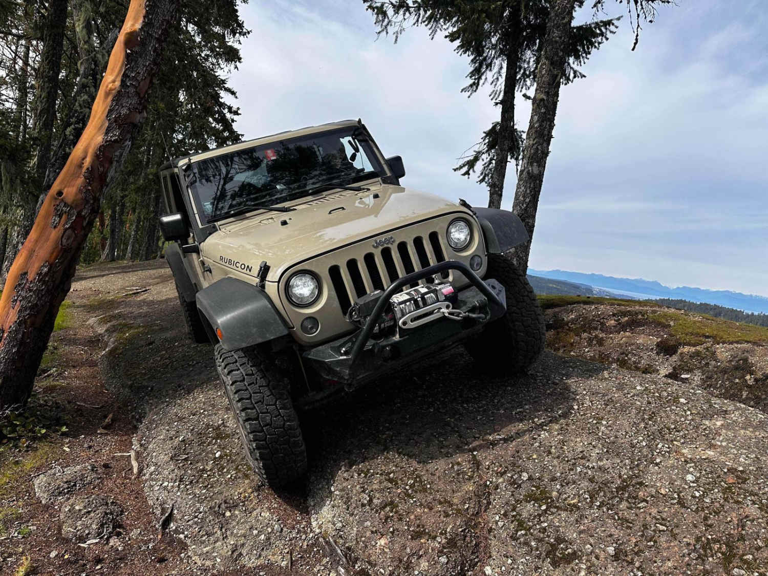
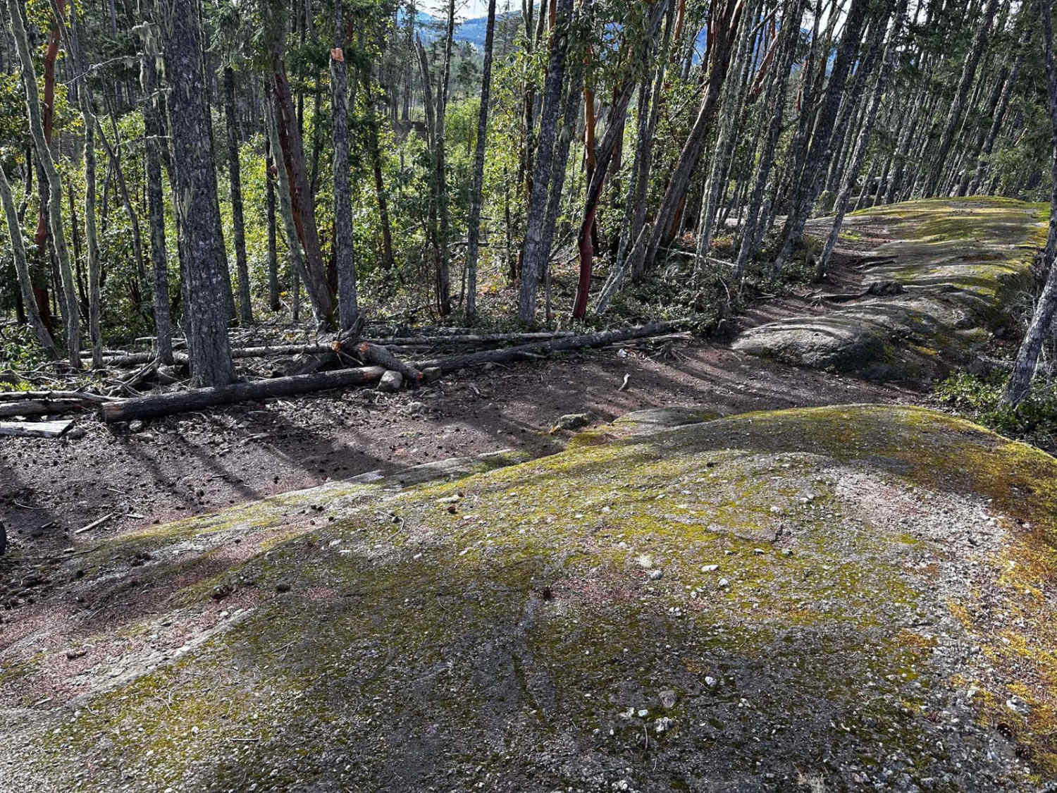
This trail explores the vicinity of Nanaimo, British Columbia. It begins on the town side, leading into the Blood Fart section, which forms a loop starting and ending at a Forest Service road. Accessing Blood Fart involves navigating a blend of two tracks and technical obstacles until reaching a cliff face where the trail is situated. Throughout the trail, narrow passages make it challenging for vehicles to maneuver, especially along the cliff edge, which boasts a dramatic 500-foot vertical drop on one side and dense trees on the other. Additionally, the trail is off-camber and in combination with the trees, is a threat to hard tops. A suitable spot for lunch, known as the Club House, offers a break before tackling the more demanding segments of the loop. Eventually, the trail returns to the main forest road upon completion.
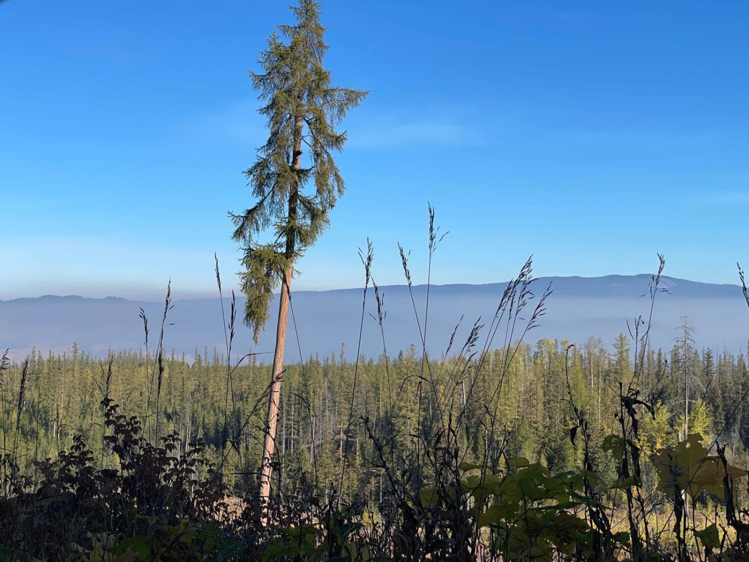
Photos of Blood Fart
Difficulty
The trail is difficult with erosion, loose rocks, dirt, and slickrock. Water over 12 inches deep is possible with mud conditions. Steps do not exceed 48 inches. 4WD, 35-inch+ tires, and two traction-adding devices (lockers, limited slips) are required. Smaller tires will require building rock supports in locations. A winch would be a plus. Enhanced suspension travel, good ground clearance, and excellent driving skills are required. Vehicle mechanical or body damage is likely. Rollover possibilities exist.
Status Reports
Blood Fart can be accessed by the following ride types:
- High-Clearance 4x4
- SxS (60")
- ATV (50")
- Dirt Bike
Blood Fart Map
Popular Trails

King Edward Parallel

Coopers Hang Gliding

Brewer to Cresent FSR

Noisy Creek
The onX Offroad Difference
onX Offroad combines trail photos, descriptions, difficulty ratings, width restrictions, seasonality, and more in a user-friendly interface. Available on all devices, with offline access and full compatibility with CarPlay and Android Auto. Discover what you’re missing today!

