Ya Ha Tinda Road to Bighorn Falls
Total Kilometers
20.8
Technical Rating
Best Time
Spring, Summer, Fall
Trail Type
Full-Width Road
Accessible By
Trail Overview
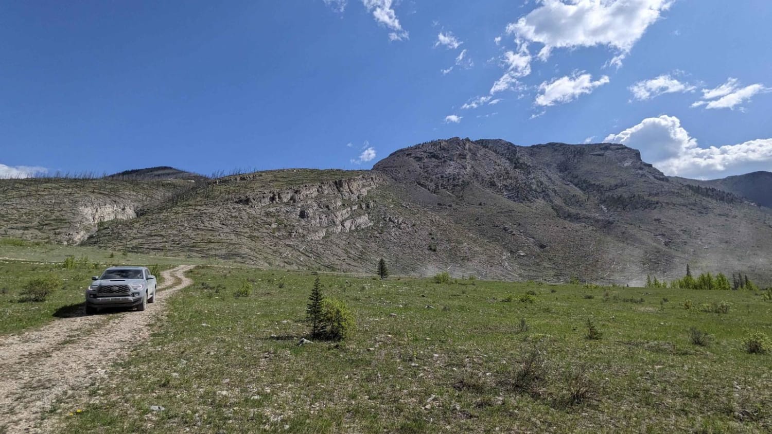
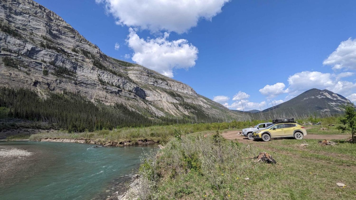
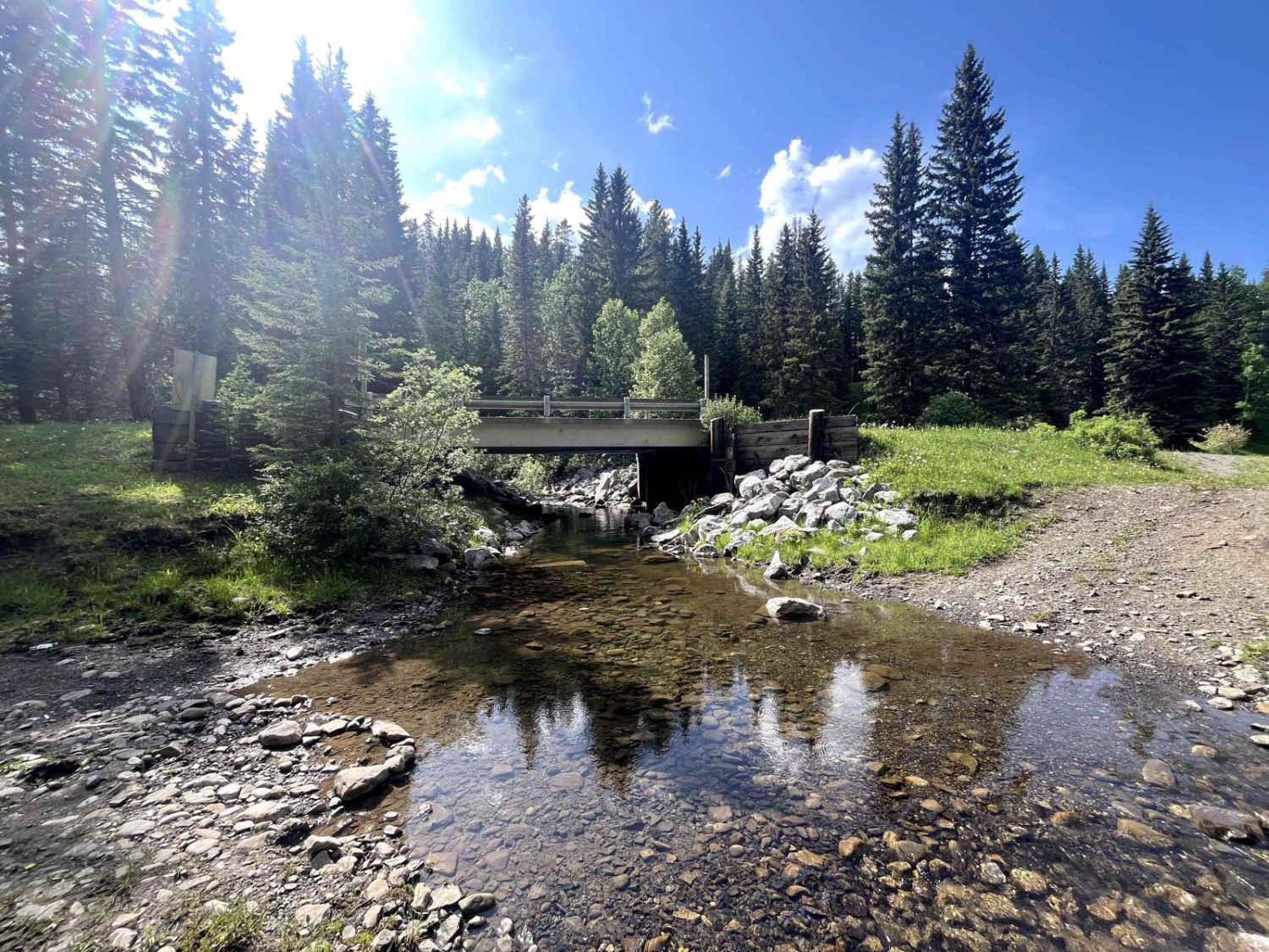
This is a loose gravel road starting at the intersection of Highway 40 and following Ya Ha Tinda Road. Depending on the time of season, the road can be rough and washed out or extremely dusty, although it has no large obstacles. At about 5 kilometers into the trip at the hairpin of the Red Deer River is a turn-off to the west with multiple large camping spots big enough for RVs. At the 9-kilometer mark where the track veers off the gravel road is a larger private camp area. A high-clearance SUV or 4x4 is recommended, as there are some large and sharp rocks. Airing down is also recommended to reduce the risk of a puncture. This camp area can also get muddy after bigger rain events. Continuing along the gravel road will bring you along more loose gravel up to the day-use lot at the base of Bighorn Falls.
Photos of Ya Ha Tinda Road to Bighorn Falls
Difficulty
Expect loose gravel. The turn-out has some larger sharp rocks that are optional.
Status Reports
Ya Ha Tinda Road to Bighorn Falls can be accessed by the following ride types:
- High-Clearance 4x4
- SUV
Ya Ha Tinda Road to Bighorn Falls Map
Popular Trails
McLean Creek Trail
Ya Ha Tinda Road to Bighorn Falls

Top of the World
The onX Offroad Difference
onX Offroad combines trail photos, descriptions, difficulty ratings, width restrictions, seasonality, and more in a user-friendly interface. Available on all devices, with offline access and full compatibility with CarPlay and Android Auto. Discover what you’re missing today!