Butcher Lake Road
Total Kilometers
25.1
Technical Rating
Best Time
Summer
Trail Type
Full-Width Road
Accessible By
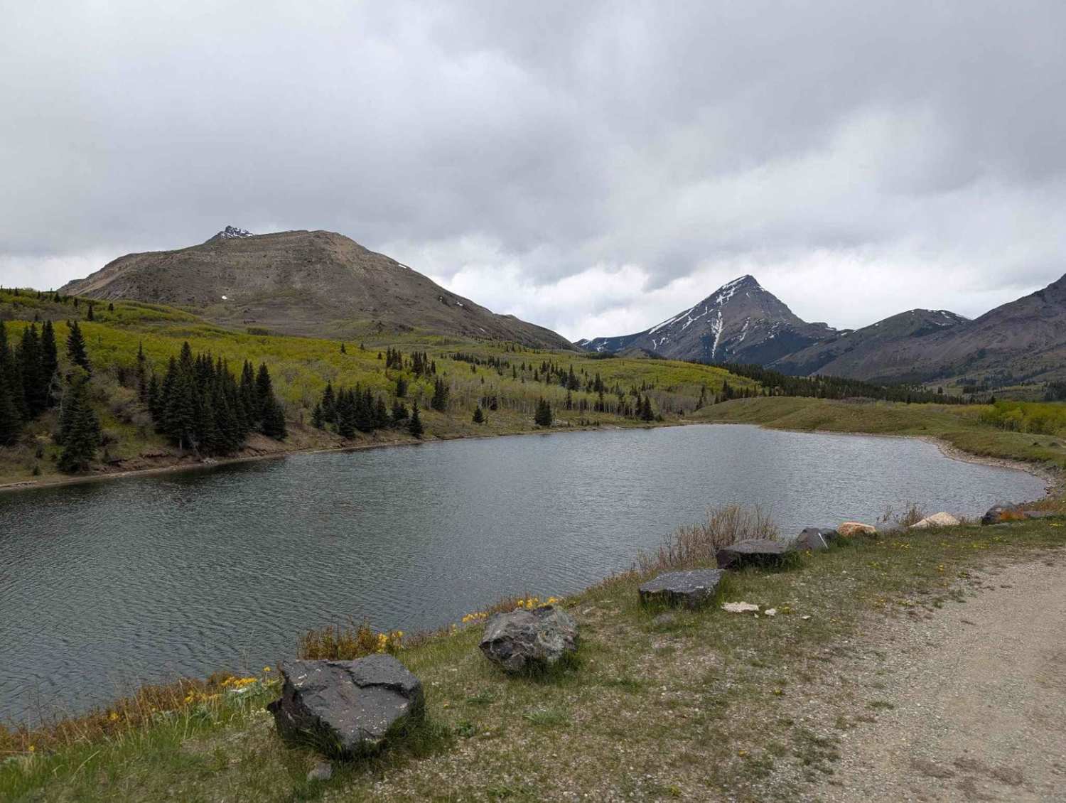
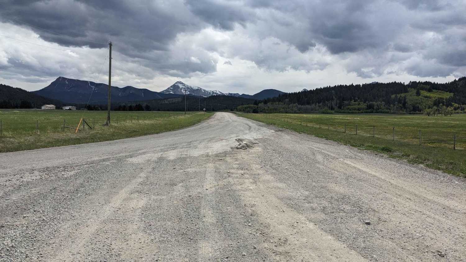
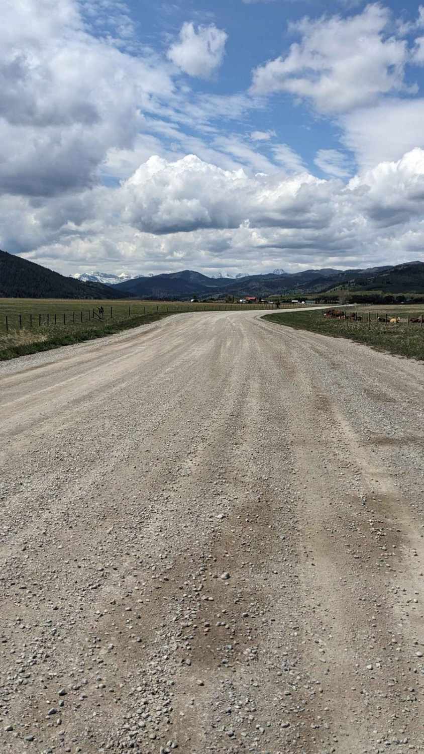
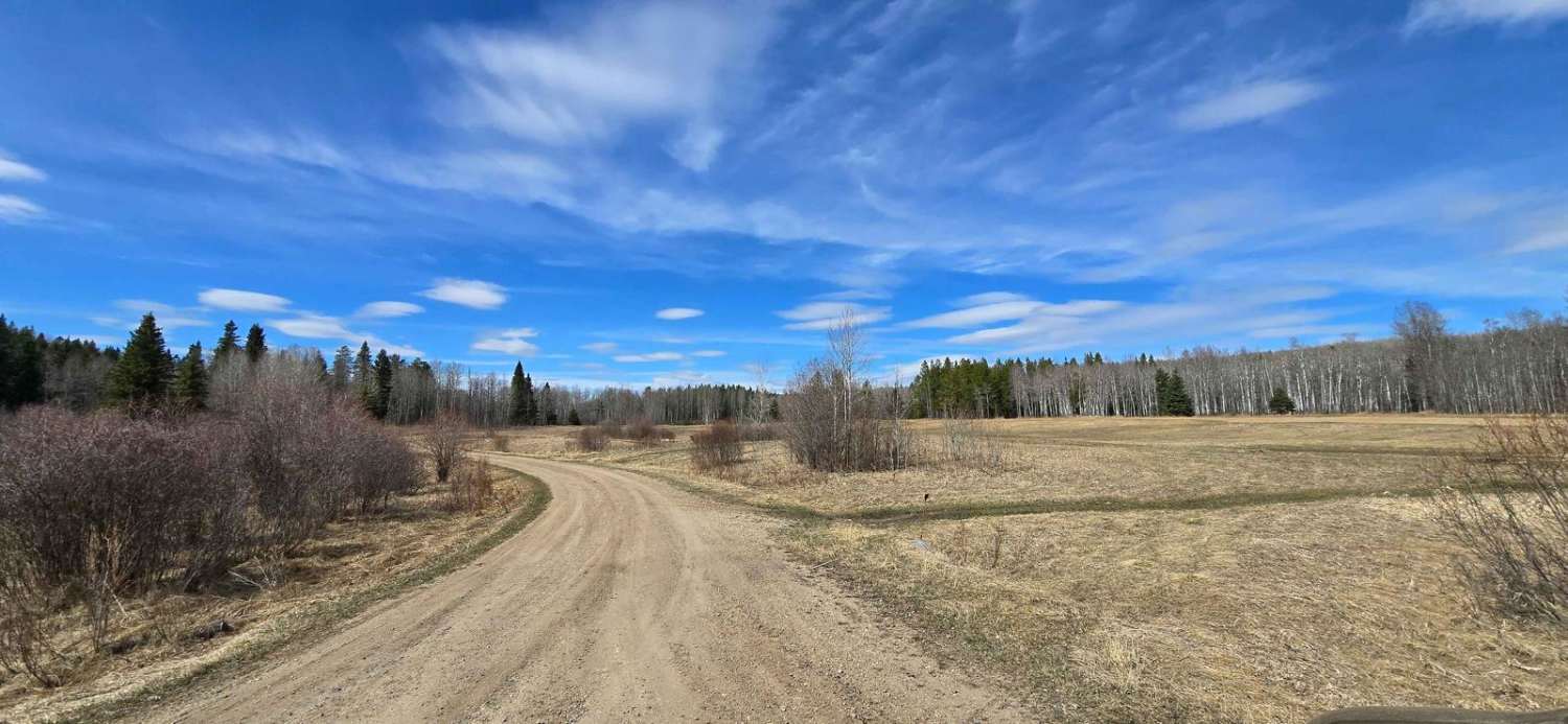
Trail Overview
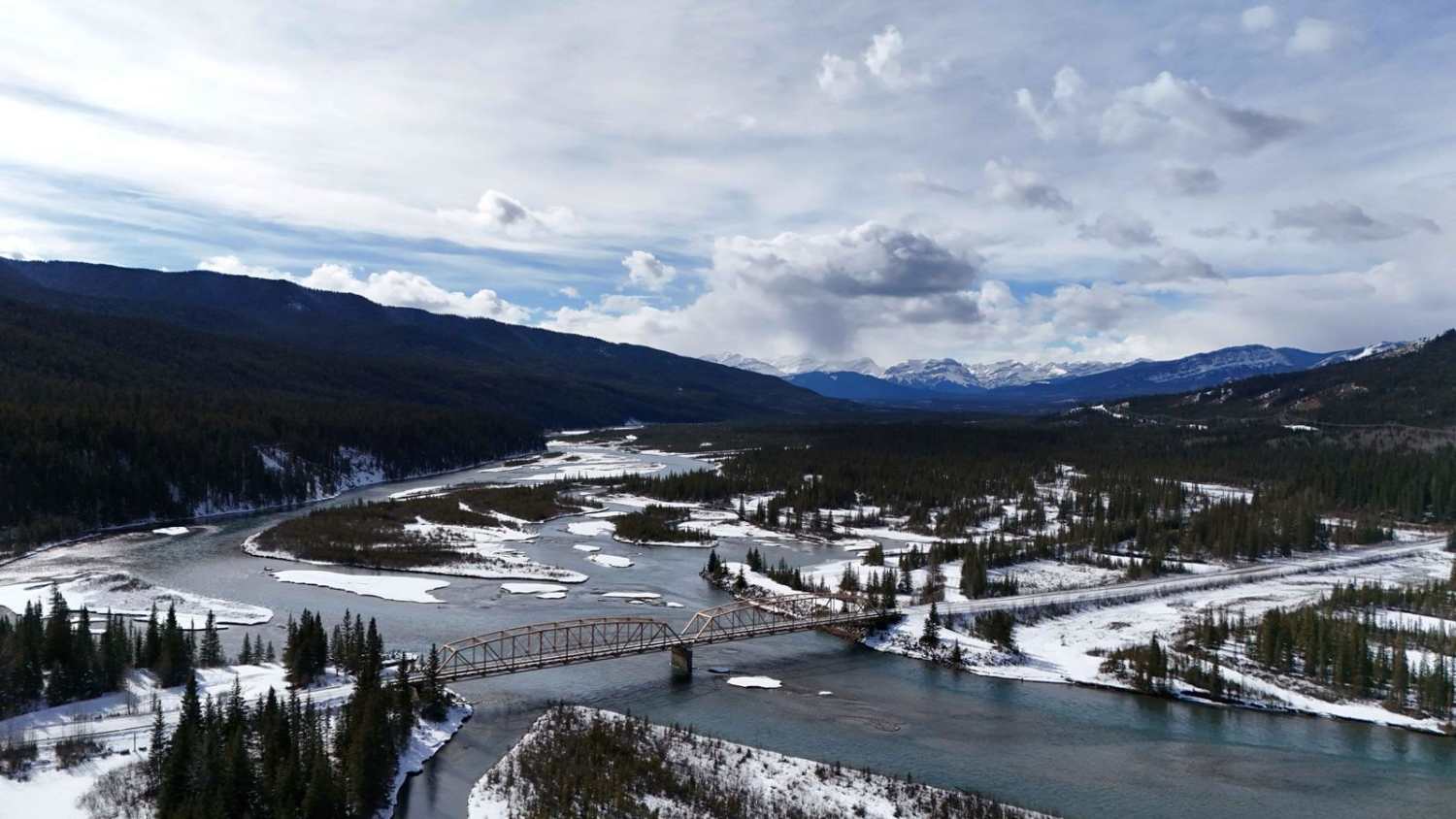
This is mostly a hard-pack gravel road that is maintained & gives you access to Butcher Lake & valley area. You will find many great views of the Rockies & also the prairies due to the gradual elevation gain on the eastern slope north of Waterton Park & south of Pincher Creek. From the east, it will start just past the Waterton Shell plant. From the west, you can reach it from the Beaver Mine area. Butcher Lake is a diving board & you can also fish, but be warned, it is very cold, rocky mountain water. This will be trickier in winter, but it is passable with all types of vehicles. It is a great scenic alternative to the highway to reach the Castle Park area.
Photos of Butcher Lake Road
Difficulty
This road is maintained and passable all year, with elevated difficulty in wet/winter conditions.
Status Reports
Butcher Lake Road can be accessed by the following ride types:
- SUV
Butcher Lake Road Map
Popular Trails
East Lynx Creek Trail

RR100 10-13 Access Road
Gosling Lake Trail
North-Central Forestry Trunk Road
The onX Offroad Difference
onX Offroad combines trail photos, descriptions, difficulty ratings, width restrictions, seasonality, and more in a user-friendly interface. Available on all devices, with offline access and full compatibility with CarPlay and Android Auto. Discover what you’re missing today!