
Off-Road Trails in Alberta
Discover off-road trails in Alberta
Off-Road Trails in Alberta
Discover the best off-road trails in Alberta. Browse trail maps, check difficulty ratings, and find your next adventure — whether you're looking for a quick ride or an all-day expedition.
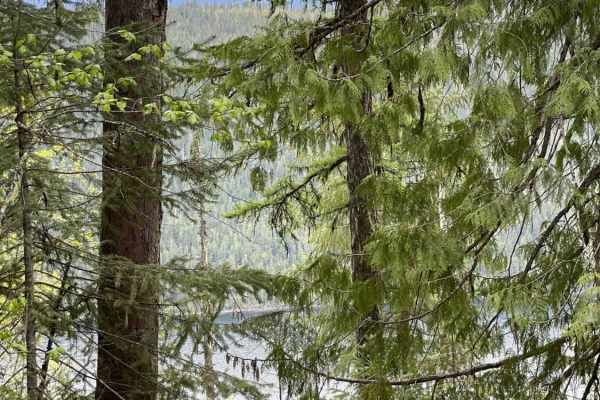
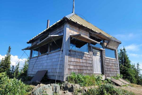
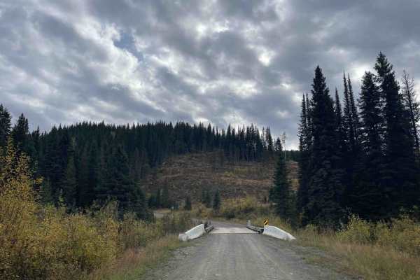
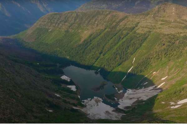
Around Aberdeen on Curtis Lake FSR
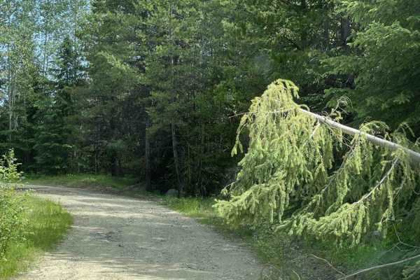
Decent Forest Service Road that is a little narrower than the main FSR. There are great views of Aberdeen Lake as you are above the lake at about 1300 meters. A few areas where trees were down from the snow. Continue along to connect to the Grizzly FSR. Make sure you use your HAM radio to call out K...
Learn more about Around Aberdeen on Curtis Lake FSR
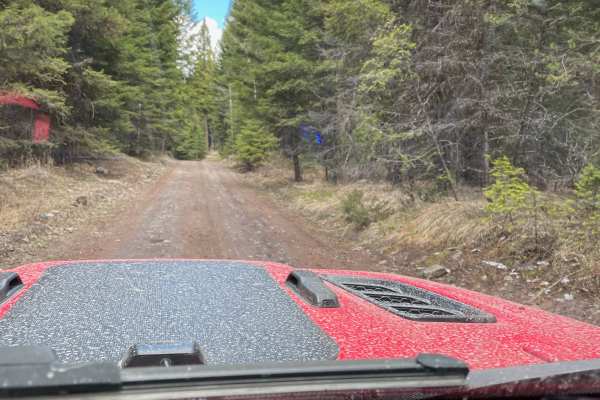
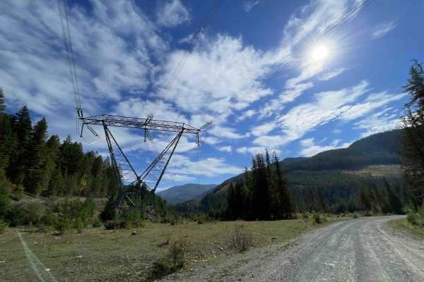
Ingram Creek FSR
This is a great Forest Service road with lots of off-shoot trails to explore. The road is gravel with muddy and rutted spots, especially after spring melt. There are some great views along the way and plenty of traffic. These roads are active with logging trucks during the week, so be prepared for f...
Learn more about Ingram Creek FSR
Robbin Range Road
Robbin Range road navigates you through beautiful forests as well as a number of ranch lands. Multiple trails spur off the main roads but you can end up at a dead end due to fences and private properties in the area. You are able to enter from one side and loop all the way through and come out in an...
Learn more about Robbin Range Road
Oyama Lake FSR
Oyama Lake FRS continues on from King Edward Lake. This route connects to the Oyama Lake trail that is already identified on the map. There are a number of lakes and recreational sites where there are small camping spots. On this route, you can access numerous flat camping areas alongside the route....
Learn more about Oyama Lake FSR
Cottonwood Rec to Kingfisher FSR
Pretty well-maintained Forest Service Road road along Mable Lake. Lots of off shoot FSR roads to explore as well. Some areas are deeply rutted from vehicle travel during snow melt. Some beautiful views of the lake and across to the other side. Active logging road so you should be calling out your KM...
Learn more about Cottonwood Rec to Kingfisher FSR
Jimmy Lake to Sawmill Lake
This is a well-maintained gravel/dirt road with soft and rutted areas due to spring snowmelt. There are many side trails to go back to and explore. Sawmill Lake is a cool lake that you drive into the middle of on a dike/jetty. There is minimal traffic with other off-roaders.
Learn more about Jimmy Lake to Sawmill Lake
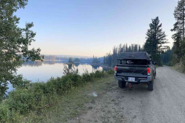
Summer Lake
Summer Lakes is an amazing lake hidden behind Mount Fisher. Summer Lake has a free public recreation site with camping areas. You will need to bring a VHF Radio as the roads are narrow in sections and you must call depending on the instructions posted by the logging services at the start. Following ...
Learn more about Summer Lake
Bear Lake Road to Esperson Lake
Bear Lake is a mainline that has numerous routes where people can get out and explore. Just off the mainline, there is a Recreational trail system called Bear Lake OHV which you need to pay a membership fee to use. Beyond the paid trail riding there are a ton of lakes and hiking trails all over. ...
Learn more about Bear Lake Road to Esperson Lake
Sheepy Crawly
Sheepy Crawly is a moderately challenging trail with steep hill climbs, off-camber sections, washouts, rock sections, and deep ruts. There is an alternate route that bypasses the difficult sections, a gentle sweeping switchback trail that crosses the difficult trail multiple times. If the difficult ...
Learn more about Sheepy Crawly
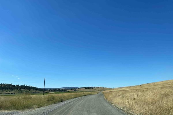
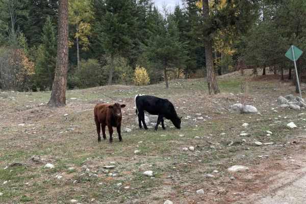
Douglas Lake Road
This route is a cut-through route from Vernon to Merritt or Kamloops. Lots of small lakes along the route with some fishing resorts. However, be careful as there are sensitive private ranch lands throughout that you require permission to enter. Stay on the main route and only access routes that a...
Learn more about Douglas Lake Road
Not The 1st of July
This is a fun road over the mountain from Beaverdell, BC, to the Christian Valley and Kettle River. Lots of epic views and really cool in the fall with all the changing leaves. The road is pretty basic for the most part and is a well-maintained logging road. There are some narrow sections and steep ...
Learn more about Not The 1st of July
Harris Creek to Summit
Scenic trail that starts at lower elevations along Harris creek, trail rises in elevation to 5,000 ft trail runs along a ridge at the top with scenic views of the valley below, side trail off of main trail is a fun trail that requires high clearance due to deactivations, with a moderate hill climb. ...
Learn more about Harris Creek to Summit
Keefer Lake Lodge
Route to the Keefer Lake lodge is well established and accessible with any vehicle. Some small potholes and bumps along the way but overall the road is in good condition, wide enough for 2 vehicles side by side and well maintained. There are a number of off-shoots that you can take to explore beside...
Learn more about Keefer Lake Lodge
Heckman Creek Road
Heckman Creek is the ultimate end destination and has an infinite amount of spur roads that can be explored. The route is well maintained for the first section up to the Shooting Range. Once you get beyond there the road maintenance is lacking leaving it bumpy and rutted. Overall the road conditions...
Learn more about Heckman Creek Road
Shuswap River
Shuswap River Road runs along the Shuswap river with beautiful little cutouts where you can stop and have lunch or hang out on the river banks fishing or simply take in the scenery. The road is in good shape as there are a lot of residential properties along the route. You need to watch for the sign...
Learn more about Shuswap River
Kidd Creek To Lumberton
Starting on the Kidd Creek FSR (Forest Service Road) approximately 20km East of Creston, BC. The route starts on a well-maintained FSR for the first few kilometers and gradually turns into a rougher dirt road. Within 15 - 20km you will have gained approximately 3000ft with some smaller steep incline...
Learn more about Kidd Creek To Lumberton
White Boar Lake
Starting the trail at St Mary's Lake taking the Hellroaing Creek FSR, the road become very rocky and rutted. There are a few avalanche and slide sections as you go around St Mary's Lake so watch for fallen rocks and sections of road missing. Turning onto Meachen Creek FSR and following this rocky ro...
Learn more about White Boar Lake
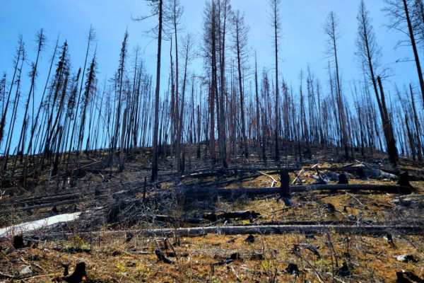
Greystokes FSR
This trail takes you from Highway 33 up to Greystokes Provincial Park. Greystokes Provincial Park is not your typical BC Provincial Park with tons of tourists and showers and toilets. This is a very rugged road with over 1,000 meters of elevation gain. The trail has everything from pinstripes, off-c...
Learn more about Greystokes FSR
Booth Creek
This is a fun and fairly easy trail if you are looking for a light adventure. There are scenic views of the Rocky Mountains, a climbing area, a thick pine/larch forest, and destinations on either end of the trail. Bring a saw as there is a potential for tight sections. The Perry Creek Climbing Area ...
Learn more about Booth Creek
3 Valley Mabel Lake FSR Road to Kingfisher
This road is slightly rougher than the East side of Mabel Lake. There are many soft spots from the winter melt. We hit some snow-covered areas in May as well. When you are nearing the end of the road, there are huge sandy ruts that you want to avoid. If there are heavy rains, this area could be slic...
Learn more about 3 Valley Mabel Lake FSR Road to Kingfisher
ATV trails in Alberta
Explore ATV-friendly trails in Alberta. These trails are accessible for vehicles up to 50 inches wide, perfect for ATVs and smaller off-road machines.
Around Aberdeen on Curtis Lake FSR
Decent Forest Service Road that is a little narrower than the main FSR. There are great views of Aberdeen Lake as you are above the lake at about 1300 meters. A few areas where trees were down from the snow. Continue along to connect to the Grizzly FSR. Make sure you use your HAM radio to call out K...
Learn more about Around Aberdeen on Curtis Lake FSR
Ingram Creek FSR
This is a great Forest Service road with lots of off-shoot trails to explore. The road is gravel with muddy and rutted spots, especially after spring melt. There are some great views along the way and plenty of traffic. These roads are active with logging trucks during the week, so be prepared for f...
Learn more about Ingram Creek FSR
Robbin Range Road
Robbin Range road navigates you through beautiful forests as well as a number of ranch lands. Multiple trails spur off the main roads but you can end up at a dead end due to fences and private properties in the area. You are able to enter from one side and loop all the way through and come out in an...
Learn more about Robbin Range Road
Oyama Lake FSR
Oyama Lake FRS continues on from King Edward Lake. This route connects to the Oyama Lake trail that is already identified on the map. There are a number of lakes and recreational sites where there are small camping spots. On this route, you can access numerous flat camping areas alongside the route....
Learn more about Oyama Lake FSR
UTV/side-by-side trails in Alberta
Find UTV and side-by-side trails in Alberta. These trails accommodate vehicles up to 60 inches wide, ideal for UTVs, side-by-sides, and wider off-road rigs.
Around Aberdeen on Curtis Lake FSR
Decent Forest Service Road that is a little narrower than the main FSR. There are great views of Aberdeen Lake as you are above the lake at about 1300 meters. A few areas where trees were down from the snow. Continue along to connect to the Grizzly FSR. Make sure you use your HAM radio to call out K...
Learn more about Around Aberdeen on Curtis Lake FSR
Ingram Creek FSR
This is a great Forest Service road with lots of off-shoot trails to explore. The road is gravel with muddy and rutted spots, especially after spring melt. There are some great views along the way and plenty of traffic. These roads are active with logging trucks during the week, so be prepared for f...
Learn more about Ingram Creek FSR
Robbin Range Road
Robbin Range road navigates you through beautiful forests as well as a number of ranch lands. Multiple trails spur off the main roads but you can end up at a dead end due to fences and private properties in the area. You are able to enter from one side and loop all the way through and come out in an...
Learn more about Robbin Range Road
Oyama Lake FSR
Oyama Lake FRS continues on from King Edward Lake. This route connects to the Oyama Lake trail that is already identified on the map. There are a number of lakes and recreational sites where there are small camping spots. On this route, you can access numerous flat camping areas alongside the route....
Learn more about Oyama Lake FSR
The onX Offroad Difference
onX Offroad combines trail photos, descriptions, difficulty ratings, width restrictions, seasonality, and more in a user-friendly interface. Available on all devices, with offline access and full compatibility with CarPlay and Android Auto. Discover what you're missing today!
Open Trail Map